Nestled in central Massachusetts, the Quabbin Reservoir is a sprawling inland sea that feels worlds away from the urban bustle it quietly sustains. This massive body of water, formed by the damming of the Swift River in the 1930s, creates a serene landscape of forested shorelines, hidden coves, and wildlife-rich wetlands that invite exploration by boat, foot, or bicycle. Whether you're seeking solitude among nature or a deeper understanding of New England's relationship with water and infrastructure, Quabbin offers contemplative beauty alongside fascinating history.
Key Attractions
View all attractions →Enfield Lookout Tower Trail
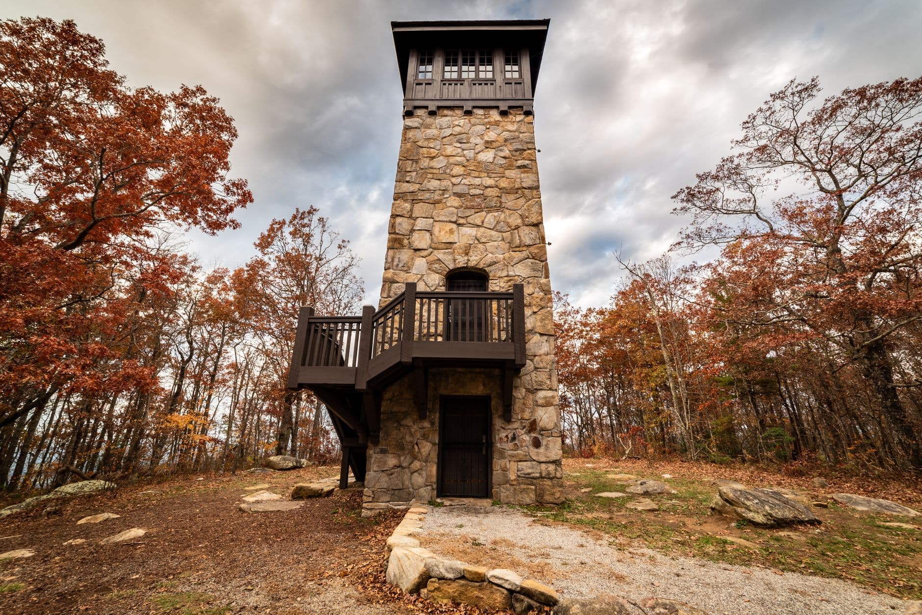
A moderately accessible hiking trail leading to a restored fire tower with panoramic views of the entire Quabbin Reservoir and surrounding New England landscape, perfect for wildlife viewing and autumn foliage photography.
Photo by Dominik Gryzbon on Pexels
Quabbin Park Cemetery
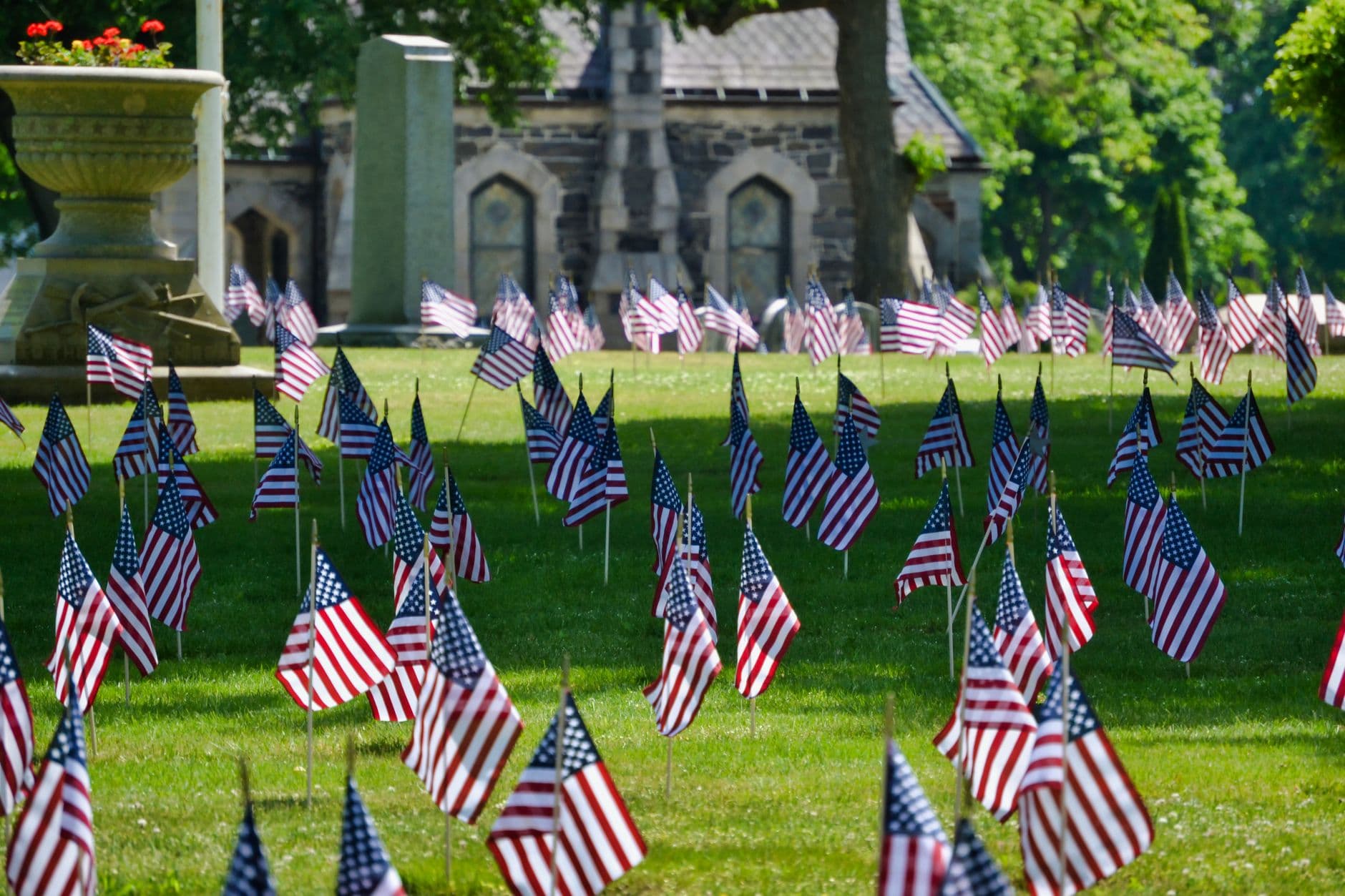
A poignant historic cemetery preserving the graves of residents from the four towns flooded to create the reservoir in the 1930s, offering profound insight into the area's New England heritage and the human cost of the watershed's creation.
Photo by Mark Agard on Pexels

Quabbin Reservoir
Bill Thompson of U.S. Fish and Wildlife Service Northeast Region / wikimedia (CC BY 2.0)

Swift River
Massachusetts. Metropolitan District Water Supply Commission; Snow, Russell, 1902-1969 / wikimedia (Public domain)
Itineraries Here
Planning a Trip to Quabbin Reservoir area: FAQs
When is the best time to visit Quabbin Reservoir area?
⌄
The best time to visit Quabbin Reservoir area is fall.
How many days do you need in Quabbin Reservoir area?
⌄
Plan on about 2 days to cover Quabbin Reservoir area's highlights at a comfortable pace.
How do you get to Quabbin Reservoir area?
⌄
The Quabbin Reservoir is located about 60 miles west of Boston (90 minutes by car via I-190 and Route 2). The nearest regional airport is Boston Logan International (BOS), roughly 1.5 hours away. For those driving from New York City, allow 3.5 hours; from the Vermont border, 1.5 hours.
What are the top things to do in Quabbin Reservoir area?
⌄
Top attractions in Quabbin Reservoir area include Enfield Lookout Tower Trail, Quabbin Park Cemetery, Quabbin Reservoir and Swift River.