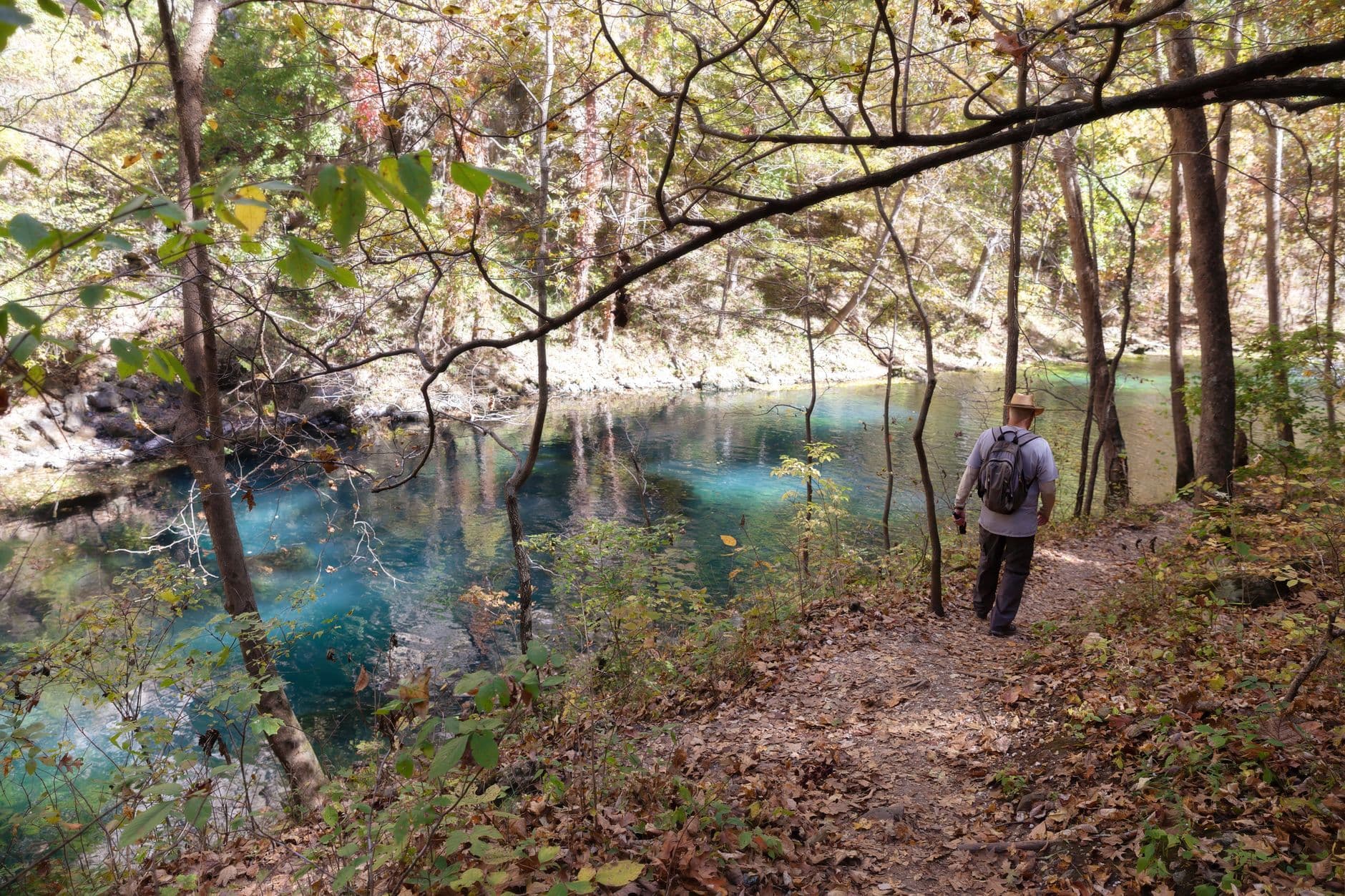
The St. Francois Mountains rise as ancient, weathered sentinels in southeastern Missouri, offering a rugged escape where Precambrian granite cliffs frame crystalline streams and hidden waterfalls. This is a landscape shaped by time itself—millions of years of geological drama compressed into dramatic shut-ins, massive boulder fields, and Missouri's highest waterfall. Here you'll find a rawer side of the Ozarks, where outdoor adventure trumps commercialism and the only crowds are those brave enough to hike to pristine natural pools.
Key Attractions
View all attractions →Bridal Veil Falls Trail
A moderate 2-mile roundtrip trail leading to a picturesque 200-foot waterfall cascading into a serene plunge pool, perfect for swimming and photography in the heart of the St. Francois Mountains.
Photo by Deb Hayes on Pexels

Elephant Rocks SP
bisakhadatta / pixabay (Pixabay License)
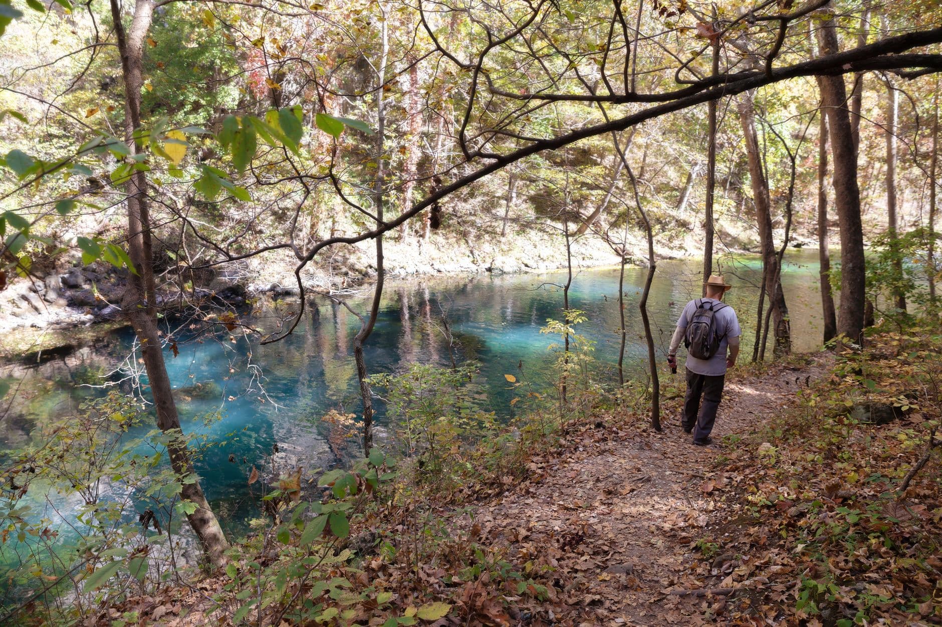
Shut-Ins Trail at Johnson's Shut-Ins
A scenic waterside trail hugging the Black River through narrow granite canyons with opportunities to wade in turquoise pools and explore slot-canyon formations carved through the Precambrian granite.
Photo by Deb Hayes on Pexels
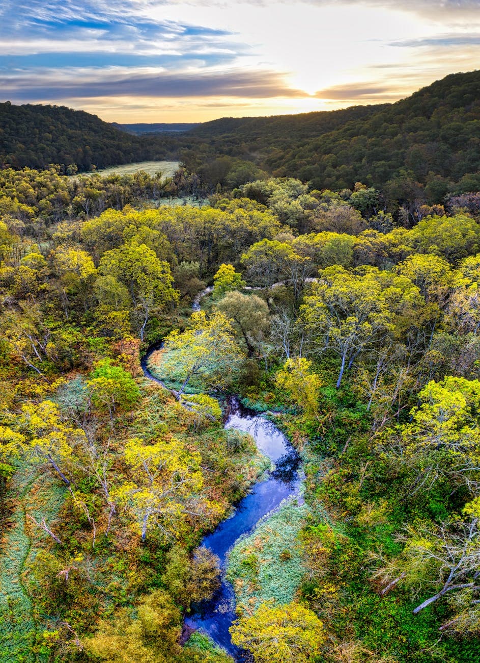
Taum Sauk Mountain (Mina Sauk Falls)
Tom Fisk / pexels (Pexels License)
Itineraries Here
Planning a Trip to St. Francois Mountains: FAQs
When is the best time to visit St. Francois Mountains?
⌄
The best time to visit St. Francois Mountains is spring.
How many days do you need in St. Francois Mountains?
⌄
Plan on about 2 days to cover St. Francois Mountains's highlights at a comfortable pace.
How do you get to St. Francois Mountains?
⌄
The nearest major airport is St. Louis Lambert International (STL), approximately 90 minutes away by car. From St. Louis, take I-44 south toward Potosi, then head east on US-21 toward Ironton; the drive is roughly 100 miles and takes 1.5–2 hours. Kansas City is about 4.5 hours away, and Memphis is 5 hours south.
What are the top things to do in St. Francois Mountains?
⌄
Top attractions in St. Francois Mountains include Bridal Veil Falls Trail, Elephant Rocks SP, Shut-Ins Trail at Johnson's Shut-Ins and Taum Sauk Mountain (Mina Sauk Falls).