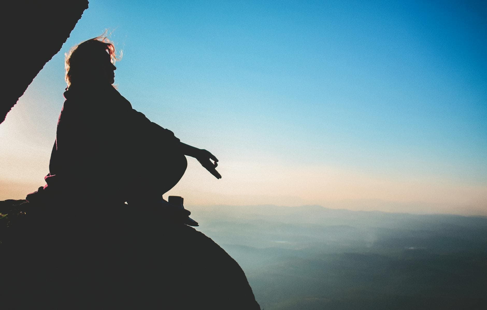
3 DaysSolo Traveler6 Stops

Cheaha Wilderness (Talladega NF), Alabama

3-Day Itinerary for Solo Traveler

Alone on the Ridgeline: 3 Winter Days at Cheaha

Alone on the Ridgeline: 3 Winter Days at Cheaha

In winter, Cheaha empties out—the parking lots go slack, the ridgelines go silver with frost, and the forest holds its breath under a low grey sky. This is the season to have Alabama's highest peak nearly to yourself, provided you dress for the wind and respect the mud.

At a Glance

Climate & Weather
Winter here runs cold and wet—expect highs in the 40s-50s°F, nights near freezing, and 146–177mm of rain across the season. Pack waterproof boots, a insulated shell, wool layers, gloves, and a hat; the exposed ridges cut wind sharper than the valley floor suggests.
Getting Around
A car is essential—there's no public transit within the wilderness. Alabama State Highway 49 is well-maintained but winding, and can ice over on cold mornings; check conditions before driving up. Trailhead parking is informal and limited, so early arrival matters as much for a spot as for solitude.
Budget
Budget roughly $45–70/day for a solo traveler—modest trailside/lodge meals, gas for the mountain roads, and no major entrance fees beyond the state park's small day-use charge.
Safety
Solo hikers should tell someone their route and expected return time, especially heading to High Falls, where stream crossings turn dangerous after rain. Cell service is unreliable in the gorge—download offline maps. Black bears are rare in winter (mostly denned) but store food properly regardless; watch footing on wet granite at Pulpit Rock and the summit tower steps.
Connectivity
Spotty at best. Expect strong signal in Anniston and patchy-to-none inside the park and gorge. Download maps, trail info, and any music or podcasts before you leave town.
Local Tips
Arrive at the summit before 9am on any day of the week to have the tower and overlook essentially alone. Businesses in Anniston and Talladega close early (often by 8pm), so plan dinner accordingly. Winter days are short—plan your last trail return with an hour of daylight to spare.

Highlights

  • Sunrise alone at Alabama's highest point, tower to yourself before 9am
  • The knife-edge scramble of Pulpit Rock Trail with nobody else on the rock
  • 133 feet of winter-swollen waterfall roaring through a silent gorge
  • Slow mornings with coffee at a near-empty mountain lodge
  • Comfort-food dinners built for solo travelers who like a counter seat
  • Bunker Loop views layered in bare-branch winter light
  • A genuine backcountry escape 90 minutes from Atlanta

Day-by-Day Plan

Arrival & Summit Orientation

Day 1: Settling Into the Silence

A gentle first day easing into elevation and solitude, centered on Cheaha's summit and state park with under 3 miles of walking.

Wear
Insulated waterproof boots, base layer plus fleece plus windproof shell, wool hat and gloves, and a daypack with a thermos—mornings on the tower balcony are brutally cold even on clear days.
Budget
$40-55 (lodge lunch, park day-use fee, dinner in town)
9:00 AM - 12:00 PM
Cheaha SP · morning · 180 min · Cheaha Summit & State Park

Ease into the wilderness slowly—wander the park's network of overlooks before committing to any strenuous trail. Cold mountain air carries the smell of pine and wet leaf litter, and in winter's low season you'll likely have entire overlooks to yourself. This is orientation day: get your bearings, feel the elevation, watch the way fog moves through the valleys below.

Cheaha SP
Isabelli Pontes / pexels (Pexels License)
Head to the east ridge overlook mid-morning when winter sun burns off the valley fog for layered, moody ridgeline shots.
Paved sections near the visitor area are manageable; most trails involve uneven, unpaved terrain.
10 min walkA short stroll along the park road, breath visible in the cold, gravel crunching underfoot
12:15 PM - 2:15 PM
Cheaha Mountain · midday · 120 min · Cheaha Summit & State Park

Climb the stone observation tower at Alabama's literal rooftop—2,413 feet, and on a clear winter day you can see ridgelines rolling toward the horizon in every direction. The tower's interior holds a cold, metallic echo; step out onto the balcony and the wind hits you fast. Arrive by early afternoon post-lunch crowd lull and the summit feels like your own private overlook.
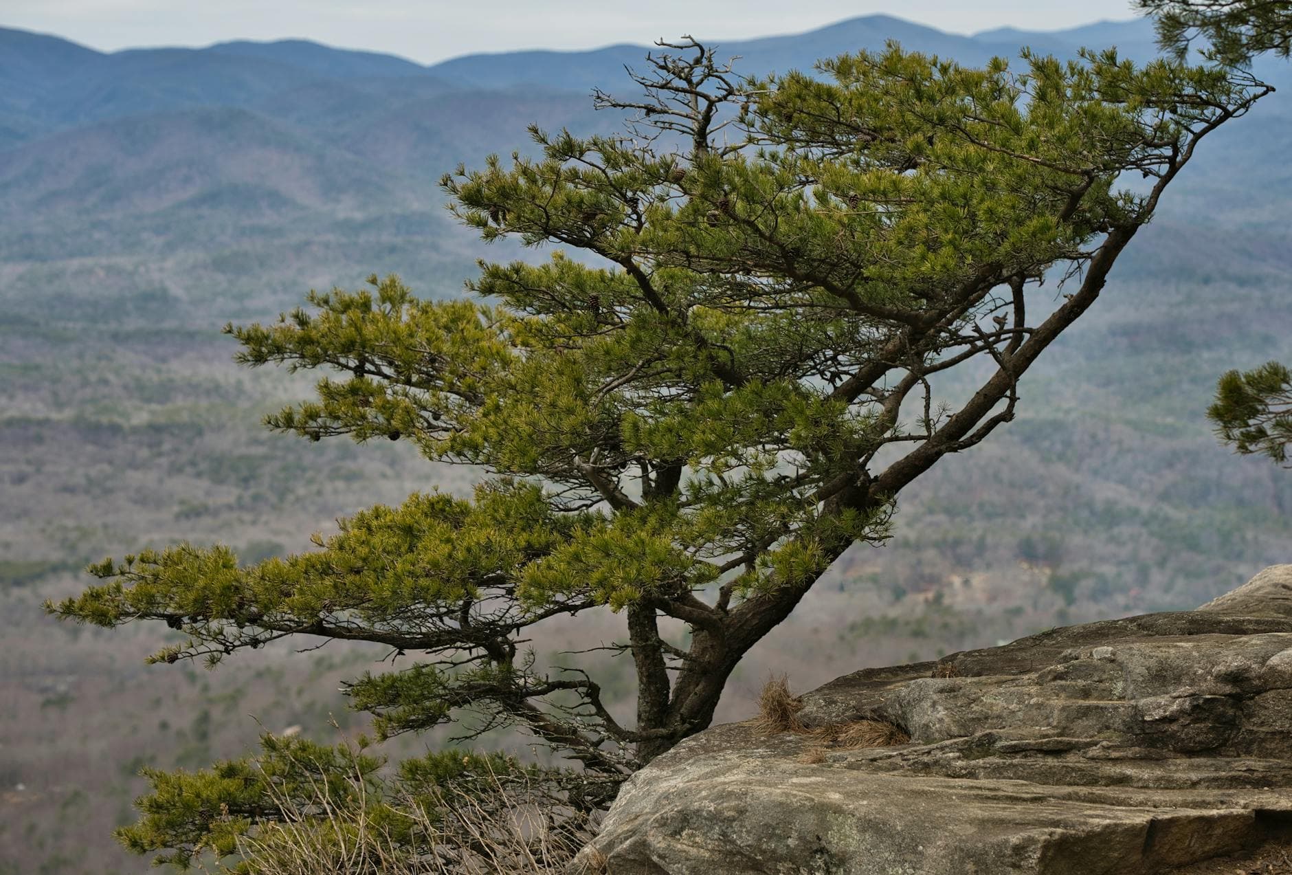
Cheaha Mountain
Thomas K / pexels (Pexels License)
Golden winter light around 2-3pm rakes low across the valley—perfect for the tower-against-sky shot.
Tower access involves stairs and uneven ground; ground-level valley views are available for those skipping the climb.
Lunch
Cheaha Restaurant $$
American · Adjacent to Cheaha Mountain
Casual lodge dining right at the summit—hearty comfort plates and a counter where solo travelers can easily strike up conversation with fellow hikers.
Optional detour: Bunker Loop scenic vistasAfter Cheaha SP and before Cheaha Mountain
A short, easy loop for extra ridge views if energy and daylight allow, ideal for stretching legs before the tower climb. Skip if: Skip if the morning fog hasn't lifted yet—visibility will be too poor to justify the detour.
If it rains: Retreat to the Cheaha Restaurant or the state park's covered picnic pavilion; the observation tower stays accessible in light rain, though heavy fog erases the views.

The first morning is about acclimating, not conquering—wander Cheaha State Park's quieter trails and overlooks as the cold settles into your bones and the fog burns slowly off the valleys. Winter's low season means you'll pass few other people, just the occasional hawk call cutting through the stillness.

By midday, head to the summit itself. The stone tower at Cheaha Mountain rewards patience—climb it after the light lunch crowd thins, and the balcony becomes a private perch above rolling Appalachian ridgelines stretching toward Georgia.

With early darkness settling by 5:30pm this time of year, head down into Anniston for dinner and rest. Local rhythm here means most kitchens close by 8pm, so don't linger too long on the mountain roads after dusk—they wind and ice over fast in the cold.

Ridge Hiking & Solitude

Day 2: The Knife-Edge and the Long Descent

A moderate-to-strenuous hiking day covering roughly 4-5 miles across Pulpit Rock's exposed ridge and additional summit-area trails.

Wear
Sturdy hiking boots with good grip (rock can be slick and frosty), moisture-wicking base layer, insulated mid-layer, wind shell, gloves for cold rock scrambles, and trekking poles if you have them for the exposed sections.
Budget
$35-50 (trail snacks, lunch, dinner in Anniston)
8:00 AM - 9:30 AM
Pulpit Rock Trail · morning · 90 min · Cheaha Summit & State Park

This is Cheaha's sharpest thrill: a ridge walk where the forest simply falls away at the overlook, leaving you standing on exposed granite with wind funneling through the gap. Arrive by 8am and the trail is entirely yours—no crowds, no chatter, just the acrid smell of cold stone and your own breath. In winter, watch for frost on the rock; footing needs full attention on the exposed sections.

Pulpit Rock Trail
Photo by Deb Hayes on Pexels
The north-facing rock outcrop works best in morning light, when low sun rakes across the formations and distant ridges.
Not recommended for those needing accessible terrain—steep grades, exposed edges, uneven footing throughout.
15 min walkA short connector trail back through quiet hardwood forest, leaves crunching, breath fogging in the cold
10:00 AM - 12:00 PM
Cheaha SP · midday · 120 min · Cheaha Summit & State Park

After the adrenaline of the ridge, downshift into the state park's gentler network—an easier loop to let your legs recover while still soaking in valley views. Winter's bare branches open up sightlines that summer foliage would hide, giving longer views deeper into the ridgelines.

Cheaha SP
Isabelli Pontes / pexels (Pexels License)
Midday winter light is flat but clear—good for wide valley panoramas without harsh shadows.
Some sections near the main park area are more level; check trail conditions after any recent rain.
Lunch
Cheaha Restaurant $$
American · Near Cheaha SP
A warm, hearty refuel spot after the morning's exertion—counter seating makes it easy for solo hikers to swap trail stories.
Optional detour: Cheaha MountainAfter Cheaha SP and before heading down for the evening
A second, later-day visit to the summit tower catches different light than yesterday's session—worth it if you're chasing photography variety. Skip if: Skip if legs are tired from Pulpit Rock; the tower stairs demand more of you than they seem to.
If it rains: Pulpit Rock becomes genuinely hazardous when wet—exposed rock turns slick and visibility drops. If rain moves in, swap to easier state park trails or the summit tower (still accessible in light rain), and save Pulpit Rock for a drier day if your schedule allows.

Set an early alarm—Pulpit Rock rewards those who arrive before the day warms. The ridge walk out to the main overlook is Cheaha's most dramatic moment: granite underfoot, wind roaring through the gap, and a view where the forest simply stops and the valley opens beneath your boots. Frost on the rock demands careful footing, but the solitude at this hour makes every careful step worth it.

After the ridge's adrenaline, the pace deliberately softens. A loop through Cheaha State Park's gentler trails lets tired legs recover while winter's bare canopy opens longer sightlines into the surrounding ridges than you'd get in any other season.

Head back toward Anniston for dinner—remember the early-closing local rhythm and don't push dinner past 7:30pm. A quiet solo meal at a counter spot, boots finally off, is the right way to close a day built around exposed rock and cold wind.

Waterfall Wilderness

Day 3: Into the Gorge

A dedicated hike to High Falls covering roughly 3-4 miles round trip through remote backcountry, moderate-to-high exertion with careful footing required.

Wear
Waterproof, high-traction boots (red clay gets slick), full waterproof shell given winter's wet season, warm layers underneath, and gloves—the spray zone near the falls chills fast.
Budget
$30-45 (trail snacks/lunch, dinner before departure)
45 min driveA winding backcountry drive deeper into Talladega National Forest, pavement giving way to gravel, tree cover thickening around you
8:30 AM - 10:30 AM
High Falls · morning · 120 min · High Falls Gorge

Alabama's tallest waterfall drops 133 feet through a remote gorge, and winter rains mean it's running full and loud. The roar hits you before the view does—mist cooling your face, red clay gripping your boots as you descend toward the base. Arrive early and this entire canyon is silent except for the falls themselves; a rare solo-traveler reward for the extra driving distance.

High Falls
Ken Lund / openverse (by-sa)
Shoot from the base viewing platform first for the full cascade, then work up to the canyon rim overlook for depth and scale—do this before 10am for softer light through the mist.
Not recommended for accessibility needs—steep, rough terrain throughout with no paved alternative.
Optional detour: Cheaha MountainAfter High Falls and before departure
A final farewell summit visit on the way out, if timing and energy allow, bookending the trip where it began. Skip if: Skip if the High Falls hike ran long or muddy—prioritize a safe, unhurried drive out over cramming in one more stop.
If it rains: Heavy rain can actually enhance the falls' flow, but it also makes the descent trail dangerously slick with mud—check Talladega NF conditions before driving out. If access is compromised, consider Talladega College's Savery Library and Amistad murals as an indoor alternative.

Dedicate the morning to the gorge itself—High Falls is remote enough that even a moderate winter weekend rarely sees more than a handful of other hikers. The trail down is rough and the red clay demands attention, but the payoff is 133 feet of thundering water in a canyon that swallows sound and light alike. This is Cheaha's wildest corner, and solo travelers with steady footing will find it the trip's most memorable hour.

With the gorge behind you, the afternoon opens up for a slow, unhurried departure—whether that means one last look from the summit tower or simply the long, winding drive back out through the national forest, windows fogging in the cold.

Plan dinner before hitting the highway out, since services thin out fast once you're back on the interstate. Let the trip close quietly, the way it opened—no rush, just the last light fading over ridgelines you now know a little better.

Want to tweak this trip?

Our AI planner can customize this itinerary to your exact dates, interests, and travel style.

Customize This Itinerary
Good to Know

Restaurant details (hours, menus, availability) change frequently. Check current hours before visiting, especially in seasonal destinations.

Dietary compatibility tags are general guidance. If you have severe allergies, confirm directly with the restaurant.

Travel tips are general guidance, not professional safety advice. Check government advisories and Talladega National Forest conditions for the latest information, especially regarding stream crossings and road conditions in winter.

All prices are approximate and may vary seasonally.
We use cookies to improve your experience and analyze site usage. Essential cookies are always active. You can customize your preferences or accept all cookies. Cookie Policy