Chiricahua NM (near Willcox), Arizona
3-Day Itinerary for Solo Traveler
“Stone Sentinels: Three Days Alone Among the Hoodoos of Chiricahua”
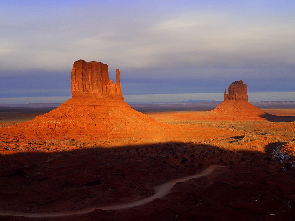
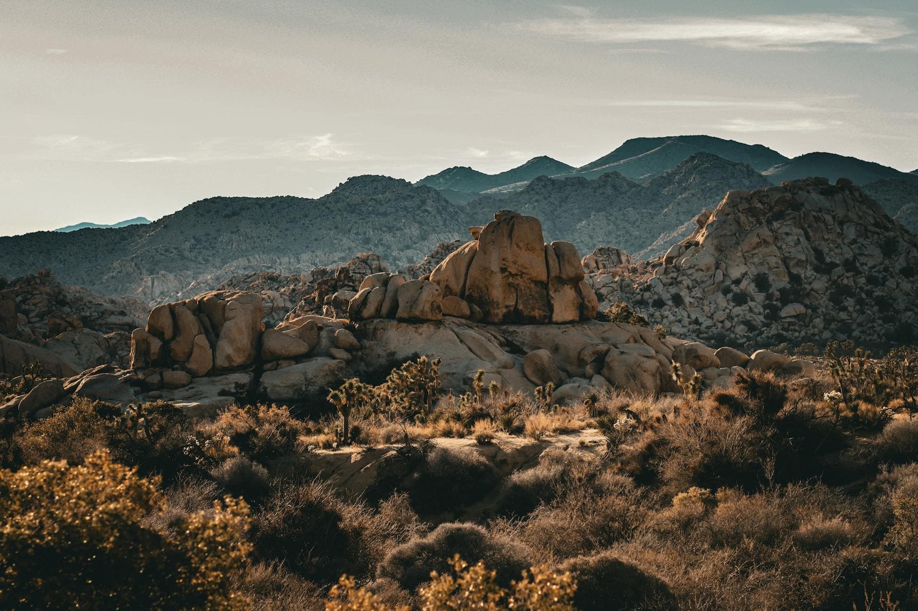
Rust-colored spires lean against an impossibly blue sky, and the only sound at dawn is wind threading through ten-thousand years of balanced stone. Chiricahua rewards patience and solitude in equal measure—this is a place built for a traveler moving at their own rhythm, with no one to hurry past the view.
At a Glance
Highlights
- Sunrise alone at Massai Point before the first tour bus arrives
- Threading the narrow stone corridors of Heart of Rocks Loop
- Standing beneath the gravity-defying Big Balanced Rock
- Echo Canyon's acoustic hush and slot-canyon shadow play
- Monsoon clouds building over Sulfur Springs Valley at golden hour
- Packing in and packing out on a trail system with barely another soul in sight
Day-by-Day Plan
Day 1: Arrival & First Light at Massai Point
A lighter arrival day covering roughly 2-3 miles of easy walking, focused on settling in and absorbing the monument's signature panoramic views without pushing into strenuous hiking yet.
After the long drive in, this is the place to let the landscape do the talking—towering hoodoos rise against the sky and the air smells faintly of juniper and sun-warmed stone. Arriving in the afternoon means softer crowds than midday, and the light starts to slant in a way that deepens every shadow between the rock towers. Take it slow here; there's no itinerary to rush for on day one.

A short stroll along the rim delivers one of the quietest, most expansive views in the entire monument—pale desert stretching to the horizon, broken only by the sharp silhouettes of volcanic formations. This is solitude in its purest form, and a good place to simply breathe after travel. Few visitors linger here, so expect the hush to be nearly complete.

Day one is about the journey itself—the drive from Tucson or Phoenix stretches across open desert before climbing into cooler, pine-scented elevation near the monument. There's no rush to pack in activities; this is a day for settling into the rhythm of the place.
By early-to-mid afternoon, the first stop is Massai Point, where hoodoos rise against the sky and the scale of the landscape starts to sink in. A short walk along the rim to Sulfur Springs Valley rounds out the afternoon with sweeping views and near-total quiet—an easy, contemplative introduction to the monument's grandeur.
As evening settles, head back toward Willcox for dinner and rest, since the monument itself has no lodging or dining options. Willcox operates on an early, ranch-town schedule, so plan to eat before 8pm. Turn in early—tomorrow's hike into Heart of Rocks rewards those who beat both the heat and the crowds at first light.
Day 2: Into the Stone Labyrinth: Heart of Rocks
The most physically active day, covering approximately 5-6 miles of moderate hiking through balanced rock formations and narrow stone corridors, best tackled early to avoid both heat and afternoon storms.
Arrive by 7am and the trail is nearly silent—just the crunch of volcanic ash underfoot and the dry scent of pine and juniper rising as you weave between narrow stone passages. Balanced rocks loom overhead as if frozen mid-tumble, a surreal, almost dreamlike landscape that rewards unhurried exploration. By 9am, other hikers start to appear, so this early window is the best chance at having entire sections of trail to yourself.

This trail extends the morning's momentum without repeating it—open rock garden clearings alternate with tight hoodoo corridors, and the namesake balanced rock itself is a genuine jaw-drop moment. Foot traffic picks up slightly by mid-morning, but it's still far quieter than midday elsewhere in the park. Take a long break here for water and a snack before the heat builds.

Set out before dawn fully breaks to catch Heart of Rocks Loop in its quietest, most atmospheric hour—golden light slanting through stone corridors, the trail essentially empty. This is the day's centerpiece, a slow unraveling of balanced rocks and natural arches that feels like walking through a dream.
By late morning, the connecting trail to Big Balanced Rock extends the hike without repeating its rhythm, culminating in one of the monument's most photographed formations. As the day heats up and clouds begin building over the mountains, it's time to wrap the hiking and start heading back toward lower elevation.
With no dining options inside the monument, plan the drive back toward Willcox for the evening, keeping an eye on the sky for the monsoon buildup that's common this time of year. Rest well—legs will be tired, and tomorrow's Echo Canyon outing calls for another early start.
Day 3: Echo Canyon's Quiet Amphitheater
A lighter final day covering roughly 2-3 miles of moderate hiking, closing out the trip with the monument's quietest and most acoustically striking canyon before the drive home.
Echo Canyon offers a hushed, more isolated experience than the previous days' hikes—warm stone underfoot, narrow passages where wind whispers between walls, and sudden vertical cliffs painted in cream and burnt orange. Arriving early means the canyon floor is still in cool shadow, the light just beginning to catch the upper rim. It's a fitting, contemplative close to the trip, with far fewer hikers than Heart of Rocks.
The final morning belongs to Echo Canyon, reached via a quieter stretch of road in the monument's northern section. Cool shadow still fills the canyon floor at this hour, and the sense of isolation here feels like a fitting bookend to the trip—fewer hikers, more silence, and a landscape that rewards slow attention.
With the canyon hike complete by mid-morning, there's time for an optional last look at Massai Point before starting the drive out—though if schedule is tight, heading straight for Willcox and the highway south keeps things simple.
Plan the drive back toward Tucson or Phoenix in daylight hours, stopping in Willcox for a final meal and fuel before the longer highway stretch. As the hoodoos fade in the rearview mirror, the quiet of the past three days tends to linger well past the drive home.
Want to tweak this trip?
Our AI planner can customize this itinerary to your exact dates, interests, and travel style.
Customize This ItineraryRestaurant and dining option details (hours, menus, availability) change frequently, and this itinerary notes where verified nearby dining data was unavailable—plan to pack supplies or research current local options before travel, especially given the monument's remote location.
Dietary compatibility tags are general guidance. If you have severe allergies, confirm directly with any restaurant before dining.
Travel tips are general guidance, not professional safety advice. Check current weather, trail conditions, and government advisories before setting out, especially given this destination's remote location and monsoon season risks.
All prices are approximate and may vary seasonally.
Attractions in This Itinerary
More Itineraries for Chiricahua NM (near Willcox)
Explore Arizona