2 DaysSolo Traveler5 Stops

Saguaro NP (Tucson, Rincon Mountain District), Arizona

2-Day Itinerary for Solo Traveler

Saguaro Sentinels: Two Days Alone with the Desert

Saguaro Sentinels: Two Days Alone with the Desert

The saguaros stand like a silent congregation at dawn, arms raised against a sky just beginning to blush pink. Spring in the Rincon Mountain District means wildflowers threading between spines, cool morning air that won't last past 10am, and trails quiet enough to hear your own footsteps on the gravel.

At a Glance

Climate & Weather
Spring days run 51–70°F with mild mornings that warm quickly by midday; rain is possible but usually brief. Pack layers — a light jacket for dawn starts, a t-shirt for midday, and a packable rain shell just in case. Sun protection (hat, sunscreen, sunglasses) is non-negotiable even on cloudy days.
Getting Around
A rental car is essential; the park's cluster-based layout means driving between the Cactus Forest Loop, Signal Hill, and the Hugh Norris/Mica Mountain trailheads. Roads are paved and well-maintained, though the Signal Hill access road can soften after rain.
Budget
Budget roughly $50–80/day for a solo traveler covering park entrance fees, trailside snacks, one sit-down meal, and incidental gear or water refills.
Safety
Solo hikers should tell someone their route and expected return time, especially before the longer high-country trails. Stay on marked paths to avoid rattlesnakes and Gila monsters, carry 2–3 liters of water minimum, and start hikes early — both for cooler temperatures and for the social benefit of encountering fellow early risers on the trail.
Connectivity
Cell service is spotty to nonexistent once inside the park boundaries — download offline maps and let someone know your plans before you lose signal. Tucson proper has reliable coverage and WiFi at cafes and lodging.
Local Tips
Arrive at trailheads by 7am in spring to catch the cool air and near-empty overlooks — by 9am, parking lots fill and the light flattens. Solo travelers often find informal camaraderie at trailhead parking areas or picnic spots — a nod and a 'how's the trail?' goes a long way here. Check the visitor center for ranger-led talks, a good low-key way to meet fellow travelers.

Highlights

  • Sunrise drive through Cactus Forest Loop's saguaro cathedral
  • Ancient Hohokam petroglyphs at Signal Hill, best explored solo at your own pace
  • A genuine high-country trail challenge on Hugh Norris or Mica Mountain
  • Golden-hour photography at mile 4's Rincon ridgeline pullout
  • Wildflower blooms threading the desert floor in spring
  • Quiet picnic-area birdsong away from midday crowds
  • Elevation shift from desert scrub to cool pine air underfoot

Day-by-Day Plan

Orientation & Discovery

Day 1: Easing In: Desert Drives and Ancient Marks

A gentle first day covering roughly 2 miles of easy walking, blending a scenic desert drive with a short cultural hike to petroglyphs — low physical demand, high sensory reward.

Wear
Light layers: a packable jacket for the cool morning, breathable shirt for midday warmth, sturdy walking shoes, and a wide-brim hat for sun protection.
Budget
$40–55 (park entrance fee, picnic lunch, coffee, and a casual dinner)
7:00 AM - 8:15 AM
Cactus Forest Drive · morning · 75 min · Cactus Forest Loop

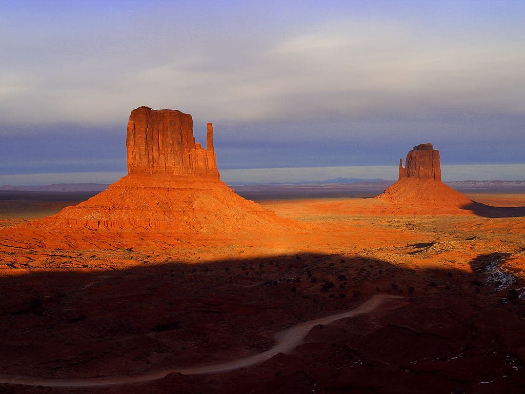
Arrive at the gate right as it opens and the 8-mile loop is yours — thousand-year-old saguaros lean into the road's curves, their shadows still long and cool. The desert smells faintly of creosote if last night carried any moisture, and the only sound is your tires on pavement and the occasional distant hawk. Pull over often; this is a drive best taken slow, with windows down.

Cactus Forest Drive
University of Texas at Austin / wikimedia (Public domain)
Stop at the mile 4 pullout for saguaro-framed Rincon ridgelines — the low morning sun does wonders for texture and shadow.
Fully paved loop with wheelchair-accessible pullouts; scenic overlooks can be enjoyed from the vehicle if mobility is limited.
10 min driveA short hop along the loop road, still nearly empty this early, saguaros ticking past like mile markers.
8:30 AM - 9:15 AM
Javelina Picnic Area and Viewpoint · midday · 45 min · Cactus Forest Loop

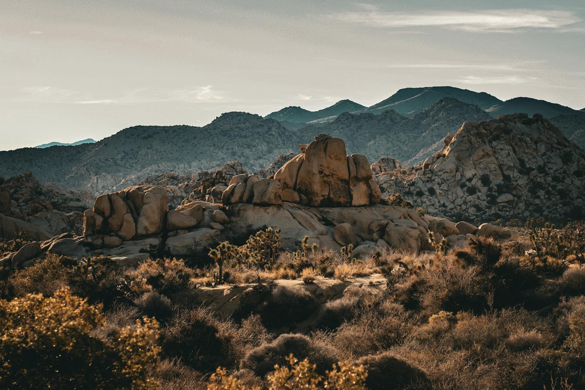
A short stroll from the car brings you to sun-warmed stone and a hush broken only by birdsong and wind through the cholla. This is a natural pause point — settle at a picnic table, watch the saguaro stands catch the strengthening light, and read the interpretive signs on desert ecology at your own pace, no rush from a companion's schedule.

Javelina Picnic Area and Viewpoint
Photo by Pexels on Pixabay
Face west from the main picnic area for saguaro stands lit by the climbing sun.
Flat, paved parking area with accessible picnic facilities and frequent benches.
35 min driveA crosstown drive back through Tucson's eastern edge and into the park's Signal Hill access road, radio off, windows cracked to catch the desert air.
1:00 PM - 2:15 PM
Signal Hill (petroglyphs) · afternoon · 75 min · Signal Hill Petroglyphs

The trail up is short but uneven, warm stone shifting under your palms as you climb toward panels of ancient rock art. There's something quietly powerful about standing alone before marks left by Hohokam hands centuries ago — take your time, no one's waiting on you. Midday brings a moderate crowd, but the hillside is large enough to find your own quiet corner.

Signal Hill (petroglyphs)
Smithsonian Institution. Bureau of Ethnology / wikimedia (Public domain)
Photograph the main petroglyph panel in early afternoon light, then climb slightly for a wide shot framing Signal Hill against the saguaro forest below.
Uneven, unpaved trail with no benches — not wheelchair accessible; sturdy footwear recommended.
Lunch
Saguaro Corners Resteraunt and Bar $$
american · Near Cactus Forest Loop
A casual bar-seating spot near the Cactus Forest Loop, easy for a solo traveler to grab a stool, chat with the bartender, and refuel before the afternoon petroglyph hike.
Optional detour: Javelina Picnic Area and ViewpointAfter Cactus Forest Drive and before Signal Hill (petroglyphs)
A low-effort pause that adds ecological context and a genuinely peaceful desert moment without adding physical strain. Skip if: Skip if you've already lingered long at the Cactus Forest Drive pullouts and want to reach Signal Hill before midday crowds build.
If it rains: If rain moves in, the Cactus Forest Drive can still be enjoyed slowly from the car — moody desert light on wet creosote is its own reward — but defer Signal Hill, as the access road softens and footing becomes unstable; check park conditions before attempting after storms.

The gate opens to near-silence, and the Cactus Forest Drive rewards early arrival with saguaro shadows stretched long across the pavement. A short walk at Javelina Picnic Area extends the calm, birdsong and warm stone underfoot the only agenda for the next half hour.

The pace shifts slightly uphill and inward at Signal Hill, where a short uneven climb leads to petroglyphs pressed into sun-warmed rock — a solitary, contemplative stop well-suited to a traveler moving at their own rhythm.

Head back toward Tucson as the light softens, settling into a casual dinner where bar seating makes solo dining easy and conversation with locals or fellow travelers often starts unprompted over a shared appreciation for the day's desert light.

Challenge & Summit Views

Day 2: Into the High Country: Desert to Alpine Air

A more demanding day built around a substantial high-country trail — roughly 5-6 miles of hiking with significant elevation gain, rewarded by cool pine air and sweeping valley panoramas.

Wear
Layered hiking attire: moisture-wicking base layer, a warm mid-layer for the summit's cooler air, broken-in hiking boots, sun hat, and a packable rain shell given spring's unpredictable showers.
Budget
$45–65 (trail snacks, hydration supplies, and a hearty post-hike meal)
6:30 AM - 9:00 AM
Mica Mountain Scenic Loop Trail · morning · 150 min · Rincon Peak High Country

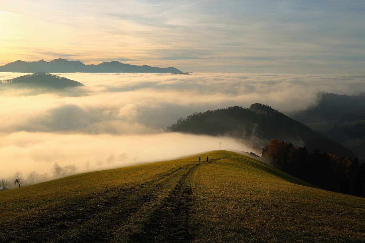
Start before the light fully arrives — the trailhead lot is quiet, maybe one or two other early risers loading packs, a natural spot to trade trail notes before setting off alone. Five miles of saguaro grandeur unfold with modest elevation change: crunching gravel, distant hawk calls, and shadows pooling in the ravines as the sun climbs. This is a strong warm-up for solo hikers wanting desert immersion without the full grind of Rincon Peak.
Mica Mountain Scenic Loop Trail
Photo by shogun on Pixabay
The high point near mile 2.5 offers a panoramic saguaro forest shot with the Rincon ridgeline behind — best in the soft, low morning light.
Rocky, uneven trail with sparse benches — not recommended for those with mobility limitations.
20 min driveA short backtrack and reroute to the Hugh Norris trailhead, saguaro-lined roadside blurring past as you mentally prep for the climb.
9:30 AM - 12:30 PM
Hugh Norris Trail · midday · 180 min · Rincon Peak High Country

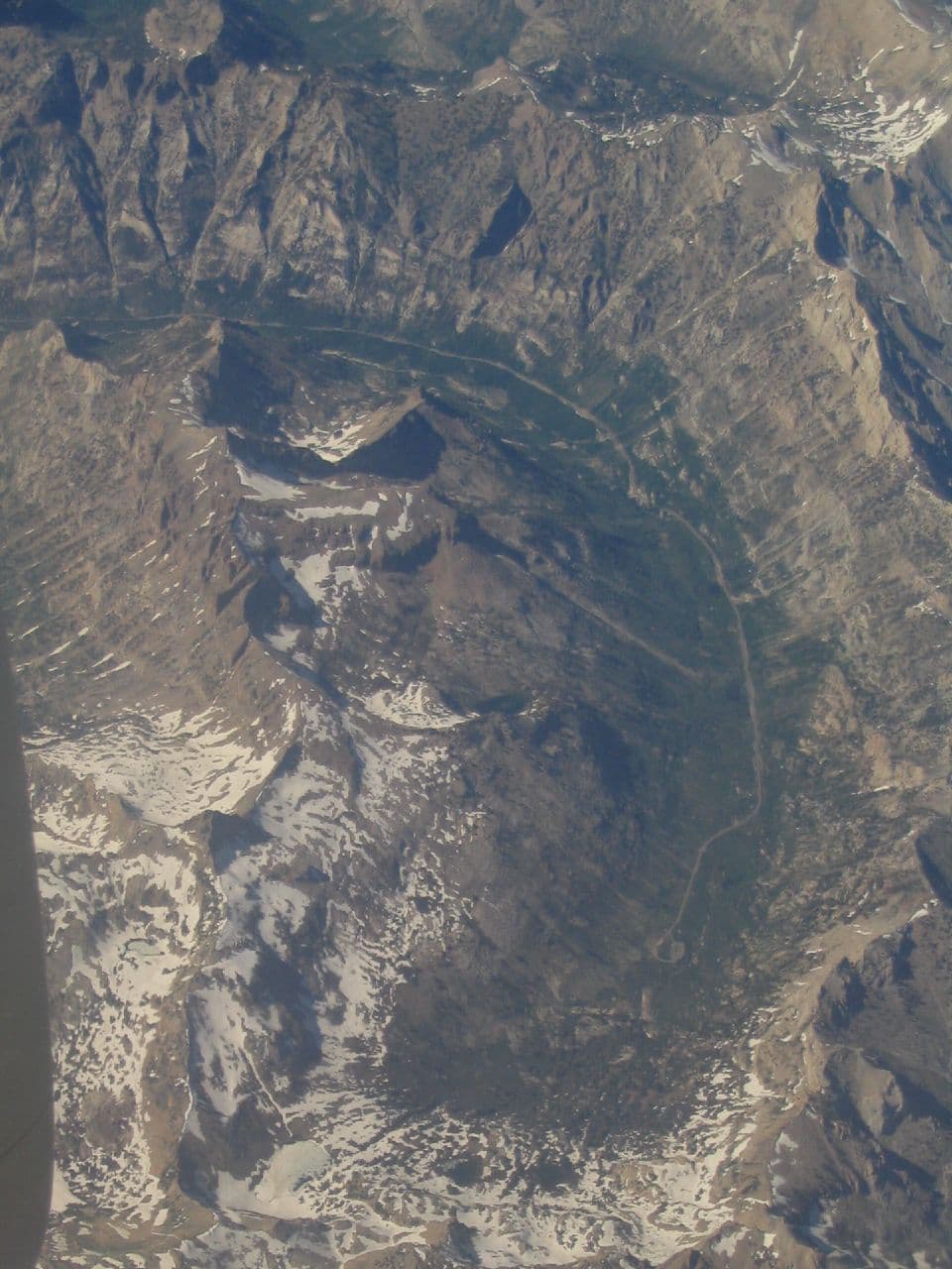
For those with energy left, Hugh Norris climbs 2,400 feet through switchbacks lined with saguaro sentinels, breath growing louder as the valley widens below. By the Wasson Peak Junction overlook, the panorama is sweeping enough to justify the burn in your legs — a fitting solo challenge, and a natural place to strike up conversation with fellow hikers catching their breath at the same vista.

Hugh Norris Trail
brewbooks from near Seattle, USA / wikimedia (CC BY-SA 2.0)
The final summit approach delivers a 360° vista — arrive by late morning before clouds typically build in spring afternoons.
Steep, unpaved trail unsuitable for wheelchairs or limited mobility; sturdy hiking boots and trekking poles recommended.
Dinner
Saguaro Corners Resteraunt and Bar $$
american · Near Cactus Forest Loop, a short drive from the high country trailheads
A relaxed, bar-forward spot to unwind after a demanding hike — hearty American fare and a stool at the bar make it easy to recount the day's climb with strangers turned trail friends.
Optional detour: Rincon Peak TrailAs an alternative to Hugh Norris Trail after Mica Mountain Scenic Loop Trail
For experienced solo hikers seeking the ultimate challenge, this 8.4-mile trek delivers a true summit and dramatic desert-to-alpine transition. Skip if: Skip if you've already logged significant mileage on Mica Mountain or Hugh Norris — at 5-6 hours minimum, it risks exceeding a comfortable daily walking limit and daylight window.
If it rains: If rain arrives or trails are wet, avoid both Hugh Norris and Mica Mountain — footing turns treacherous on wet rock and gravel. Consider deferring the hike a day or visiting the Arizona-Sonora Desert Museum or the park's own visitor center exhibits for a dry, educational alternative.

Predawn quiet gives way to the rhythmic crunch of gravel on Mica Mountain's loop, saguaros towering overhead as hawks call across the empty bajada — a strong, moderate warm-up hike that eases you into the day's bigger challenge.

Energy shifts into higher gear on Hugh Norris Trail, switchbacks climbing through saguaro forest into cooler air, legs burning by the Wasson Peak Junction where the valley spreads out in full, rewarding panorama.

Descend before afternoon clouds build, then unwind over a well-earned dinner where bar seating invites easy conversation — a fitting close to two days spent largely in the desert's good company, now shared briefly with fellow travelers over food.

Want to tweak this trip?

Our AI planner can customize this itinerary to your exact dates, interests, and travel style.

Customize This Itinerary
Good to Know

Restaurant details (hours, menus, availability) change frequently. Check current hours before visiting, especially in seasonal destinations.

Dietary compatibility tags are general guidance. If you have severe allergies, confirm directly with the restaurant.

Travel tips are general guidance, not professional safety advice. Check government advisories for latest information.

All prices are approximate and may vary seasonally.

We use cookies to improve your experience and analyze site usage. Essential cookies are always active. You can customize your preferences or accept all cookies. Cookie Policy