Pembina Gorge, North Dakota
3-Day Itinerary for Solo Traveler
“Red Cliffs & Quiet Water: 3 Days Alone in Pembina Gorge”
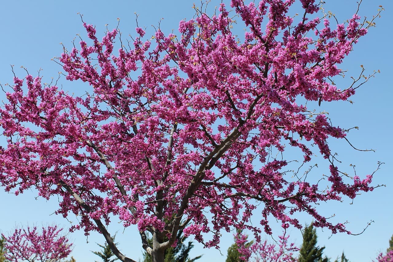
The prairie gives no warning before the land simply opens — red clay walls dropping toward a slow green river, cottonwoods leaning in to whisper over the water. Pembina Gorge is the kind of place that rewards travelers who move alone and move slowly, where a solo hiker can stand on a ridge at 7am and hear nothing but wind and their own breath.
At a Glance
Highlights
- Sunrise solitude atop Frost Fire Mountain's exposed ridge
- Paddling alone between sandstone walls on the Pembina River
- Old-growth forest silence on the Three Tribes View Trail
- Wildlife-watching at dawn in Tongue River Wildlife Area
- Small-town diner conversations that make solo travel feel social
- Gorge-rim sunset at Cavalier State Park with almost no one else around
Day-by-Day Plan
Day 1: Arrival and the Gorge's First Breath
A lighter orientation day covering roughly 3-4 miles of easy-to-moderate walking, easing into the gorge's rhythm with wide overlooks before committing to harder trails.
Ease into the gorge here — the red and tan cliff walls rise gently above the river, and the morning air still carries a coolness that won't last past 10am. Arrive by 8am and the overlooks are yours alone, just wind through cottonwoods and water moving over stone. This is a good first stop for a solo traveler: short enough not to overwhelm a travel-weary body, scenic enough to set the tone for the days ahead.
A short climb rewards with a 360-degree view that makes the whole gorge suddenly legible — the river a thin green line far below, prairie stretching out flat and endless to the north. Wind pushes steadily across the open ridge, carrying the scent of wild grass. It's a quiet, contemplative stop, well-suited to a solo traveler who wants a few unhurried minutes without small talk.

The first morning in Pembina Gorge is deliberately unhurried — a gentle introduction to the terrain rather than a full workout. Arriving at the Pembina Gorge State Rec Area before 8am means the cliffs, river, and wildflower meadows are nearly silent, broken only by birdsong and the soft rush of water below. It's an easy way to get your bearings and let any travel fatigue settle before the trails get more demanding.
By late morning, the short climb to Frost Fire Mountain offers a payoff disproportionate to the effort — a sweeping view across the gorge and prairie that makes the whole region click into place. The wind is constant and cooling even as the day warms, and the solitude up here is total; most days, you'll have the ridge to yourself. This is a good moment to simply sit for a while, something solo travel allows without apology.
With no specific dining data available right at the trailheads, plan your evening meal back in whichever gateway town you're based — Pembina, Cavalier, or Grand Forks — rather than expecting food near the gorge itself. Local diners tend to close early, so aim to eat before 8pm, and don't hesitate to take a seat at the counter or a shared table; in small-town North Dakota, that's often where the best conversations happen. Turn in early — tomorrow's river paddle rewards an early start.
Day 2: Water Between the Walls
A moderately active day centered on the Pembina River and surrounding wildlife areas, covering an estimated 4-5 miles between paddling, walking, and short trail sections.
Mist often still clings to the water at this hour, and paddling upstream into it alone is one of the most quietly thrilling things you can do in this gorge — cool spray on your face, paddle strokes echoing off sandstone walls that rise close on either side. Early morning is non-negotiable here: by midday the light flattens and any weekend paddlers (still few) will have arrived. This is widely the best solo activity in the whole region — self-paced, meditative, and genuinely remote-feeling.

After drying off from the river, this mixed forest preserve offers a cooler, shadier contrast — aspen and spruce filtering the afternoon heat, birdsong replacing the sound of water. It's quieter than the river stretch, ideal for a slower, more contemplative walk. Keep an eye out for deer; give them distance and they'll largely ignore you.

Few experiences in the gorge match an early solo paddle on the Pembina River — setting out while mist still sits on the water, the canyon walls closing in close enough to touch with a paddle. The quiet is near-total except for your own strokes and the occasional call of a bird overhead. This stretch rewards patience and an early alarm; by late morning the light has lost its softness and the stillness gives way to warmth.
The pace shifts noticeably after lunch — trading open water for shaded forest at Tongue River Wildlife Area, where cooler air and birdsong replace the river's rush. It's a gentler, more contemplative stretch of the day, good for slow observation and recovering energy after the morning's paddle. Wildlife sightings are more likely here in late afternoon than at midday.
As with the previous evening, plan your meal in town rather than at the trailhead, since dining data right in the gorge is sparse — pack snacks for the day and treat dinner as a chance to reconnect with civilization. Local diners reward solo travelers willing to sit at the counter; the hospitality here is genuine, if understated, and conversation tends to start with a simple nod and a question about where you've been hiking.
Day 3: Forest Silence and the Last Overlook
A moderate final day of roughly 3-4 miles through forest trail and a closing gorge-rim overlook, paced to allow for an unhurried departure.
An early start here means dappled light filtering through old-growth canopy with almost no other foot traffic — just the crunch of the forest floor and the distant murmur of the river below. The transition from dense trees to open prairie edge partway through the trail is a striking, almost cinematic shift in scenery, well worth the unhurried pace solo travel allows.

A fitting closing stop — a quieter perch above the gorge where the view stretches hazily into layered rock and forest, and the sense of remoteness feels complete. Trail junctions here offer framed gorge views worth lingering over, and the overall pace is gentle, a good note to end a solo trip on before the drive back toward Grand Forks or home.

The final morning leans into stillness — an early walk through the old-growth stands of the Three Tribes View Trail, where forest gives way gradually to prairie edge and the river's murmur stays just within earshot. It's a meditative close to the trip's physical demands, the kind of walk that invites reflection rather than conversation, which suits solo travel perfectly.
Cavalier State Park offers a last wide view of the gorge before the drive home, its overlooks layered with forest and rock fading into haze. The pace here is unhurried by design — a final chance to sit with the landscape rather than rush through it, before the practicalities of departure take over.
With travel plans likely dictating the rest of the day, keep dinner simple and flexible — local diners along the route back toward Grand Forks or Pembina offer a last taste of the region's unpretentious comfort food. As with earlier days, don't hesitate to take a counter seat; it's often the easiest way for a solo traveler to end a trip with one last genuine conversation before heading home.
Want to tweak this trip?
Our AI planner can customize this itinerary to your exact dates, interests, and travel style.
Customize This ItineraryRestaurant details (hours, menus, availability) change frequently, and this remote region has limited mapped dining data near trailheads — always check current hours before visiting, especially in small towns with early or seasonal closures.
Dietary compatibility tags are general guidance. If you have severe allergies, confirm directly with the restaurant.
Travel tips are general guidance, not professional safety advice. Check government advisories and local park conditions for the latest information, especially regarding trail conditions and flash flood risk.
All prices are approximate and may vary seasonally.