Moab area (beyond national parks), Utah
3-Day Itinerary for Solo Traveler
“Iron Air, Red Stone: 3 Winter Days Beyond Moab's Parks”
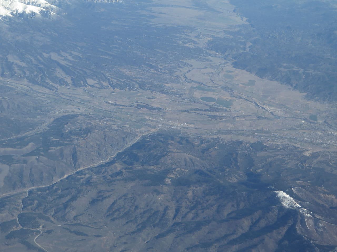
Winter strips Moab down to its bones — the crowds thin, the light turns low and gold by 4pm, and the red rock holds a chill that smells like cold sage and river stone. This is Moab without the performance, just you, the canyon wind, and roads that feel like they belong to you alone.
At a Glance
Highlights
- Sunrise solitude along the Colorado Riverway with no one else at the pullouts
- Life-sized dinosaurs standing silent against a winter sky
- A quiet, contemplative walk on Slickrock Trail's edge without summer's grip of heat
- Golden hour over Castle Valley with the La Sals dusted in snow
- Solo-friendly bar seating and communal tables built for striking up conversation
- Cold, clear desert nights perfect for stargazing over river bends
- Off-season rates and near-empty overlooks that peak-season travelers never see
Day-by-Day Plan
Day 1: Settling Into the Riverway's Winter Hush
A gentle, low-mileage day (roughly 2 miles walking) tracing the Colorado Riverway at an easy pace to adjust to the cold desert air and long shadows.
Arrive by 9am and the Potash Road pullouts are yours alone — no rafters, no engine noise, just the hiss of cold water over stone and the smell of wet sage rising off the riverbank. The rust-red walls seem to lean in overhead, catching low winter light that turns the canyon amber rather than the blinding white of summer. This is an easy, unhurried way to reset after travel — take it slow, breathe the mineral-cold air, and let the scale of the place settle in before anything more demanding.
Ease into the trip with a slow morning along the Colorado Riverway. Arrive early enough and the pullouts along Potash Road feel like private balconies over the river — just cold air, the smell of sage, and the sound of water working against stone. Let the jet-lag or road-lag settle here; there's no rush, no crowd to beat, just red walls and quiet.
Keep the afternoon unstructured and low-key — wander back into downtown Moab on foot if energy allows, letting the body acclimate to the altitude and cold. This is a day for orientation, not exertion; save the ambitious mileage for tomorrow's backcountry push.
As the sun drops behind the canyon rim around 5pm, the temperature falls fast — find a warm spot downtown to sit with a meal and take stock of the days ahead. Solo travelers will find Moab's off-season crowd is thin but friendly; a seat at a bar or communal table is often enough to strike up a conversation about trail conditions or river levels.
Day 2: Dinosaurs, Stone, and the Edge of Slickrock
A moderately active day (approximately 4–5 miles) exploring North Moab's quirky dino park in the morning and the edge of Slickrock Trail in the afternoon.
Arrive right at opening and the towering fiberglass T-Rex looms against a winter sky so blue it looks painted on — no crowds yet, just the crunch of cold red sand and a wind whistling past ancient-looking ribs. It's a little absurd and a little wonderful, a playful counterpoint to yesterday's solemn canyon walk. Solo travelers often find this an easy, low-pressure stop — good for a laugh and a photo before the day's more demanding terrain.

By late morning the trailhead has thinned from its dawn rush, and the stone underfoot — cold, faintly frosted in shadowed dips — holds a stillness summer never allows. Walk or ride the edges where safe; the panoramic sweep of layered canyon walls unfolds slowly, and the only sound is wind and the occasional scrape of grip against rock. Winter means no heat exhaustion to fight, but also means checking for ice on north-facing sections before committing — test each stretch before trusting your weight to it.

Start north early for Moab Giants while the light is still low and clean — the dinosaur garden feels almost surreal against the winter desert, all sharp shadows and cold blue sky. It's a light, playful start before the day's more physical demands, and the flat accessible paths make it an easy warm-up.
Push into Slickrock Trail once the morning chill has eased slightly — the terrain here rewards caution and slow attention, especially with icy patches lurking in shadowed dips. Winter thins the usual rider traffic to almost nothing, leaving the high points and canyon-view overlooks eerily, beautifully quiet.
By late afternoon, retreat toward town before the temperature drops hard — the sun disappears behind the canyon walls fast this time of year. Find a warm meal and let tired legs rest; the day's mix of playful and demanding terrain makes for good conversation if you find a communal table.
Day 3: Golden Hour Over the River Bend
A lighter closing day (around 2–3 miles) returning to the Riverway for unhurried photography and a final slow look at the canyon before departure.
Return to the river one last time — this stretch never quite looks the same twice, and winter's low sun angle throws long shadows across the water that make even familiar pullouts feel new. Arriving by 8:30am means near-total solitude; by mid-morning a few photographers or rafters checking winter conditions might appear, but it stays far quieter than any national park overlook. Use this final morning to slow down completely — no agenda beyond noticing light, water, and stone.
Spend the last morning back along the Colorado Riverway, moving slowly and without a fixed itinerary — this is a day for absorbing rather than checking things off. The cold morning air carries the same mineral scent as day one, but everything feels a little more familiar now, a little more yours.
Keep the afternoon open for a final walk through downtown Moab, picking up any last supplies or gifts before the drive out — shops here tend to have relaxed winter hours, so check before making it the centerpiece of the day.
If departure allows, linger over one more meal at a spot with bar or communal seating — solo travelers often find this the easiest way to end a Moab trip, trading trail notes with strangers who understand exactly why the cold and quiet of winter here is worth the trade-off from summer's crowds.
Want to tweak this trip?
Our AI planner can customize this itinerary to your exact dates, interests, and travel style.
Customize This ItineraryRestaurant details (hours, menus, availability) change frequently, especially in winter when off-season hours apply. Check current hours before visiting.
Dietary compatibility tags are general guidance. If you have severe allergies, confirm directly with the restaurant.
Travel tips are general guidance, not professional safety advice. Check government advisories and local trail/road conditions for the latest information, especially regarding winter ice and flash flood risk.
All prices are approximate and may vary seasonally.