Chiricahua NM (near Willcox), Arizona
3-Day Itinerary for Solo Traveler
“Stone Sentinels: 3 Days Alone with the Hoodoos of Chiricahua”
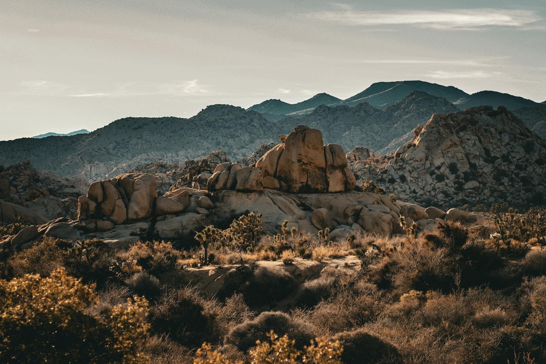
The hoodoos rise like a frozen stampede, balanced rock on balanced rock, and in spring the silence between them is broken only by wind, birdsong, and the occasional crunch of your own boots on volcanic ash. This is a park built for solitude—and for the traveler willing to arrive before the light does.
At a Glance
Highlights
- Sunrise alone at Massai Point before the first tour bus arrives
- Threading the stone labyrinth of Heart of Rocks Loop
- Spring wildflowers dotting the high-desert scrub along the scenic drive
- Echo Canyon's acoustic hush and slot-canyon shadow play
- Red-chile comfort food in ranch-town Willcox after a day on the trail
- Golden hour at Big Balanced Rock, framed against a darkening sky
- Genuine solitude—shoulder-season crowds still mean near-empty trails on weekday mornings
Day-by-Day Plan
Day 1: Arrival & First Light Among the Hoodoos
A lighter first day of scenic driving and two moderate viewpoints, around 1.5 miles of easy walking, easing into the park's rhythm after the drive in from Tucson or Willcox.
Arrive by 8am and the overlook is nearly yours alone—cool air carrying juniper and pine, the hoodoos catching soft morning light while the valley below still holds shadow. This is the park's signature view, and as a solo traveler you can linger at the rail as long as you like without anyone rushing you along.

A short drive along the scenic loop brings you to this quieter overlook, where the high desert stretches to infinity and volcanic formations stand in sharp silhouette. It's an easy, low-energy stop—perfect for settling into the park's pace on day one, with benches sparse but the silence itself the main draw.

The drive up from Willcox or Tucson delivers you into a different world—desert scrub giving way to oak and juniper as the road climbs toward Massai Point. Arriving early rewards you with near-total solitude at the overlook, the hoodoos lit gold and the valley still in shadow below. Take your time here; there's no itinerary pressure on day one, just the quiet thrill of arrival.
A short drive along the scenic loop leads to Sulfur Springs Valley, a lower-key viewpoint where the pace slows even further. This is a good afternoon for picnic supplies packed from Willcox, since dining options thin out dramatically once you're inside the monument—consider packing a simple lunch rather than counting on finding something on-site.
As the light softens, head back down AZ-186 toward Willcox for dinner and rest. The ranch town operates on an early, slow rhythm—most kitchens close by 8pm—so plan to arrive hungry and in no rush. It's a fitting end to a gentle first day: stars emerging over the desert, the hoodoos now just a silhouette in the rearview mirror.
Day 2: Into the Stone Labyrinth
The most active day of the trip, hiking the Heart of Rocks Loop and Big Balanced Rock Trail for roughly 4-5 miles of moderate terrain and high photographic reward.
Start early—by 7:30am the trail belongs almost entirely to you, volcanic ash crunching underfoot as you wind between balanced boulders that seem to defy gravity itself. This is Chiricahua's signature hike, an intimate maze of hoodoos and narrow stone corridors that rewards slow, deliberate exploration, ideal for a solo hiker setting their own pace.

After a midday break, continue into this adjoining trail where rust-red and cream rock towers stack overhead in gravity-defying formations. The crowd thins noticeably by early afternoon on weekdays, leaving plenty of room to pause, breathe in the creosote-scented air, and simply take in the strangeness of the landscape.

Dawn hikers have Heart of Rocks nearly to themselves—the trail's narrow stone passages and open rock gardens take on an almost sacred stillness in early light. Moving through this landscape alone, at your own pace, with nothing but wind and footsteps for company, is the heart of why solo travelers come to Chiricahua.
After refueling with packed trail snacks (dining options are sparse inside the monument, so come prepared), the afternoon shifts to the adjoining Big Balanced Rock Trail. The pace here is similarly moderate but the formations feel even more intimate and close-set, a fitting continuation rather than a repeat of the morning's experience.
Back in Willcox, a hearty dinner awaits—look for the red-chile enchiladas and fresh salsa the town is known for at its family-run spots. After a full day of hiking, the slow ranch-town evening rhythm, with most places closing by 8pm, suits tired legs just fine.
Day 3: Echo Canyon's Quiet Hush
A lighter final day exploring the remote, lightly visited Echo Canyon, with roughly 1.5-2 miles of walking and ample time for reflection before departure.
This is the park's quietest corner, a hidden amphitheater of balanced rocks and weathered spires where even on a weekend the silence feels total. Arrive early and you may have the slot-canyon passages entirely to yourself, warm stone underfoot and the faint whisper of wind the only company—an ideal, contemplative close to a solo trip.
The final morning belongs to Echo Canyon, a quieter, more isolated stretch of the monument where the usual hum of other hikers rarely intrudes. Walking among its balanced rocks and narrow passages feels like a fitting closing chapter—less about covering ground, more about absorbing the stillness one last time.
With the canyon explored, the drive back toward Willcox or onward to Tucson offers a last look at the Chiricahua Mountains receding in the rearview mirror. Keep a flexible stop in mind at Massai Point if time allows, for a final overlook before leaving the high desert behind.
If timing allows a final meal in Willcox before continuing on, expect the same unpretentious ranch-town fare that's carried the trip—simple, genuine, and closed early, so plan to eat on the earlier side as you say goodbye to this remote corner of Arizona.
Want to tweak this trip?
Our AI planner can customize this itinerary to your exact dates, interests, and travel style.
Customize This ItineraryRestaurant details (hours, menus, availability) change frequently, and dining options directly inside the monument are extremely limited—confirm current hours in Willcox before visiting, and consider packing meals for trail days.
Dietary compatibility tags are general guidance. If you have severe allergies, confirm directly with the restaurant.
Travel tips are general guidance, not professional safety advice. Check government advisories and current park conditions, especially regarding weather and trail closures, before heading out.
All prices are approximate and may vary seasonally.
Attractions in This Itinerary
More Itineraries for Chiricahua NM (near Willcox)
Explore Arizona