3 DaysSolo Traveler6 Stops

Saguaro NP (Tucson, Rincon Mountain District), Arizona

3-Day Itinerary for Solo Traveler

Saguaro Sentinels: Three Days of Desert Solitude in Tucson's Rincon Mountains

Saguaro Sentinels: Three Days of Desert Solitude in Tucson's Rincon Mountains

Here the saguaros stand like a silent congregation, arms raised to a sky that turns from bruised purple to blinding gold before most of Tucson has poured its first coffee. Summer in the Rincon Mountain District rewards those willing to trade sleep for solitude — the desert belongs to early risers, and by 9am the heat has a way of clearing out the crowds who didn't get the memo.

At a Glance

Climate & Weather
Summer temperatures regularly exceed 100°F by midday, with monsoon thunderstorms possible July–August, mostly in the afternoon. Pack lightweight, light-colored breathable clothing, a wide-brim hat, high-SPF sunscreen, and sturdy trail shoes with good ventilation. Mornings before 9am are pleasant; by noon the desert is unforgiving.
Getting Around
A rental car is essential — the park's clusters are spread across desert terrain with no public transit inside park boundaries. Cactus Forest Drive is a paved one-way loop; unpaved spurs lead to trailheads. Fill up on gas and water in Tucson before entering, as services inside the park are minimal.
Budget
Expect to spend $40-70/day on food and modest activity costs (park entrance fee ~$25 for 7 days, casual dining, snacks, and water); backcountry permits if camping add extra cost.
Safety
Solo travelers should tell someone their trail plan and expected return time, carry 2-3 liters of water minimum per outing, and avoid trails after midday in summer. Watch for rattlesnakes and Gila monsters on trail edges — give wildlife a wide berth and stay on marked paths. Cell service is unreliable in the backcountry, so download offline maps and carry a paper map as backup.
Connectivity
Cell coverage is spotty to nonexistent on backcountry trails like Hugh Norris and Rincon Peak; expect decent signal near the visitor center and main loop road. Download maps, trail info, and any communication needs before leaving Tucson.
Local Tips
Enter the park at or before sunrise in summer — gates open early and the light is extraordinary while temperatures are still bearable. Solo hikers should stick to well-trafficked trails like Mica Mountain Loop rather than isolating on Rincon Peak unless experienced and prepared. Locals often finish serious hiking by 10am and shift to shaded, low-key activities for the rest of the day — follow their lead.

Highlights

  • Sunrise drive through Cactus Forest Loop before the heat arrives
  • Ancient Hohokam petroglyphs at Signal Hill, best read in low morning light
  • A moderate 5-mile desert loop on Mica Mountain Scenic Loop Trail with real solitude
  • Golden-hour photography at Javelina Picnic Area's saguaro-framed overlooks
  • Options to push into serious backcountry via Hugh Norris Trail for ambitious hikers
  • Communal, low-key dining at Saguaro Corners after long desert mornings
  • A pace built for solo travelers — flexible timing, safety-first trail choices

Day-by-Day Plan

Arrival & Desert Orientation

Day 1: First Light on the Cactus Forest

A gentle orientation day covering the paved Cactus Forest Loop and a nearby viewpoint, with roughly 1-2 miles of easy walking and low physical exertion to ease into desert rhythms.

Wear
Lightweight breathable layers, closed-toe walking shoes, sun hat, sunglasses, and sunscreen reapplied every two hours.
Budget
$45-60 (park entrance fee, casual lunch, snacks, and water)
6:30 AM - 8:00 AM
Cactus Forest Drive · morning · 90 min · Cactus Forest Loop

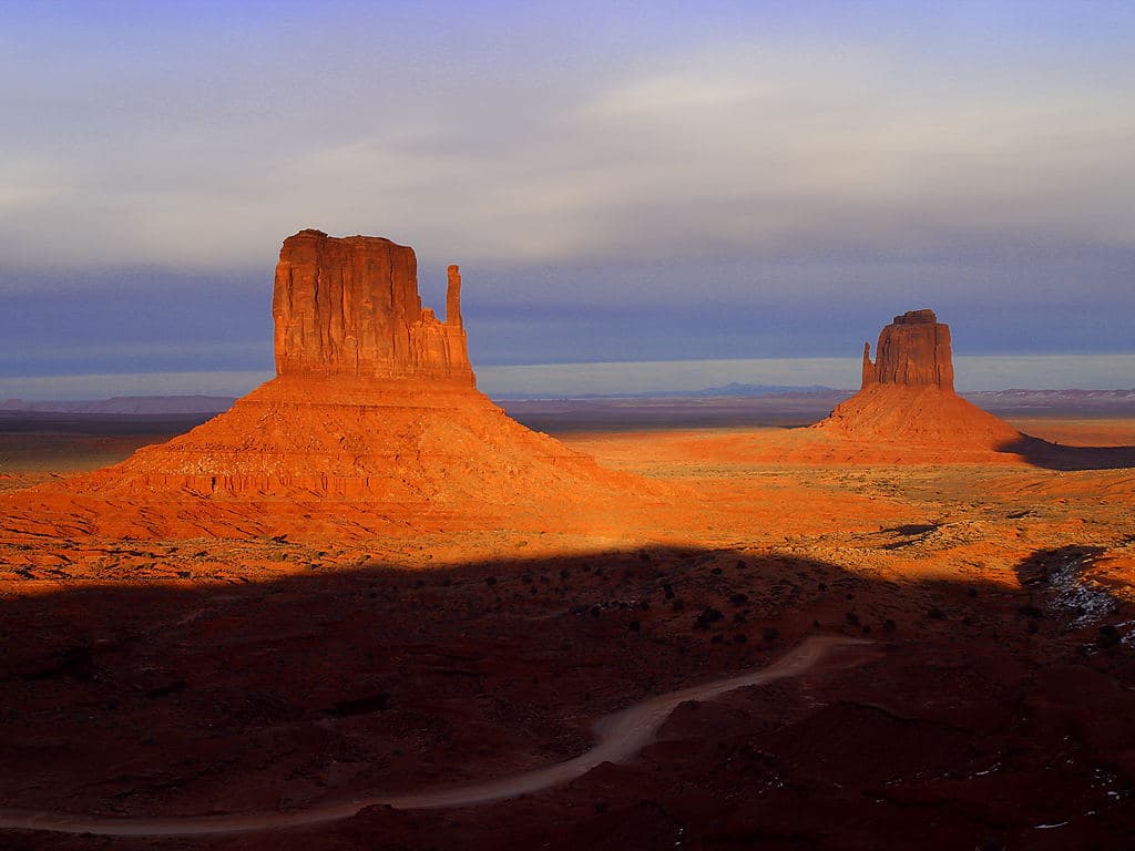
Arrive at the gate as it opens and the desert is still holding its breath — dusty air laced with creosote, saguaros catching the first gold light along their western edges. Drive the 8-mile paved loop slowly, windows down, pulling off at marked overlooks to feel the immense quiet before the day's heat sets in. This is the gentlest possible introduction to the park, ideal for a first morning of a solo trip when you're still finding your bearings.

Cactus Forest Drive
University of Texas at Austin / wikimedia (Public domain)
Mile 4 pullout at sunrise: saguaro silhouettes against the pink-gold Rincon ridgeline, with almost no one else around before 7:30am.
Fully drivable with wheelchair-accessible pullouts at scenic overlooks; flat paths at most stops.
10 min driveA short hop along the loop road, saguaros ticking past the windows like mile markers.
8:15 AM - 9:15 AM
Javelina Picnic Area and Viewpoint · midday · 60 min · Cactus Forest Loop

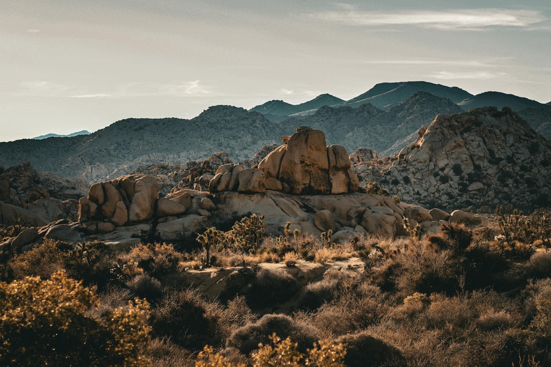
A short stroll from the car brings you to a viewpoint where saguaro giants frame the valley in every direction — the only sounds are birdsong and wind moving through cholla. Frequent benches make this an easy, unhurried stop to journal, snack, or simply sit with the scale of the place before the sun climbs higher. Arrive by 8:30am and you'll likely have the picnic area nearly to yourself; by mid-morning it fills with families and tour groups.

Javelina Picnic Area and Viewpoint
Photo by Pexels on Pixabay
Main picnic area facing west — the light is softer here mid-morning, good for detail shots of saguaro arms and spines.
Flat, wheelchair-accessible paths with frequent bench seating.
Lunch
Saguaro Corners Resteraunt and Bar $$
American · Near Cactus Forest Drive
A relaxed, no-fuss spot near the Cactus Forest Loop with bar seating that makes solo dining easy and low-pressure — good for a post-hike burger and cold drink.
If it rains: If monsoon storms roll in, treat Cactus Forest Drive as a scenic slow drive rather than a walking stop — flash flood risk is real in low-lying washes, so avoid pullouts near drainage areas and consider heading back toward Tucson until conditions clear.

The gate opens just as the sky starts to blush, and the paved loop of Cactus Forest Drive feels like driving through a living sculpture garden — saguaros lined up for miles, their shadows stretching long and blue across the sand. Pulling off at quiet overlooks, the desert's immensity settles in slowly, the kind of scale that's hard to absorb in a single glance.

By mid-morning, the heat starts to assert itself, and the short walk to Javelina Picnic Area offers a shaded, gentle way to ease further into the park's rhythm. Frequent benches invite lingering, and the framed views of saguaro stands against distant ridgelines make this an easy, restorative stop before the day's warmth peaks.

With the heat in full force by early afternoon, the rest of the day is best spent resting indoors in Tucson, rehydrating, and reviewing tomorrow's early trailhead plan. A relaxed dinner at a bar-seating spot like Saguaro Corners offers a chance to unwind solo without feeling out of place, the kind of low-key evening that sets a good tone for the more active days ahead.

Cultural Discovery

Day 2: Petroglyphs and the Weight of Deep Time

A moderate day combining the cultural payoff of Signal Hill's petroglyphs with a longer desert hike on Mica Mountain Scenic Loop Trail, totaling roughly 5-6 miles of walking at a moderate pace.

Wear
Sturdy hiking shoes, moisture-wicking clothing, a hat with neck coverage, and at least 2-3 liters of water carried in a hydration pack.
Budget
$50-70 (snacks, hydration supplies, casual dinner)
6:00 AM - 6:45 AM
Signal Hill (petroglyphs) · morning · 45 min · Signal Hill Petroglyphs

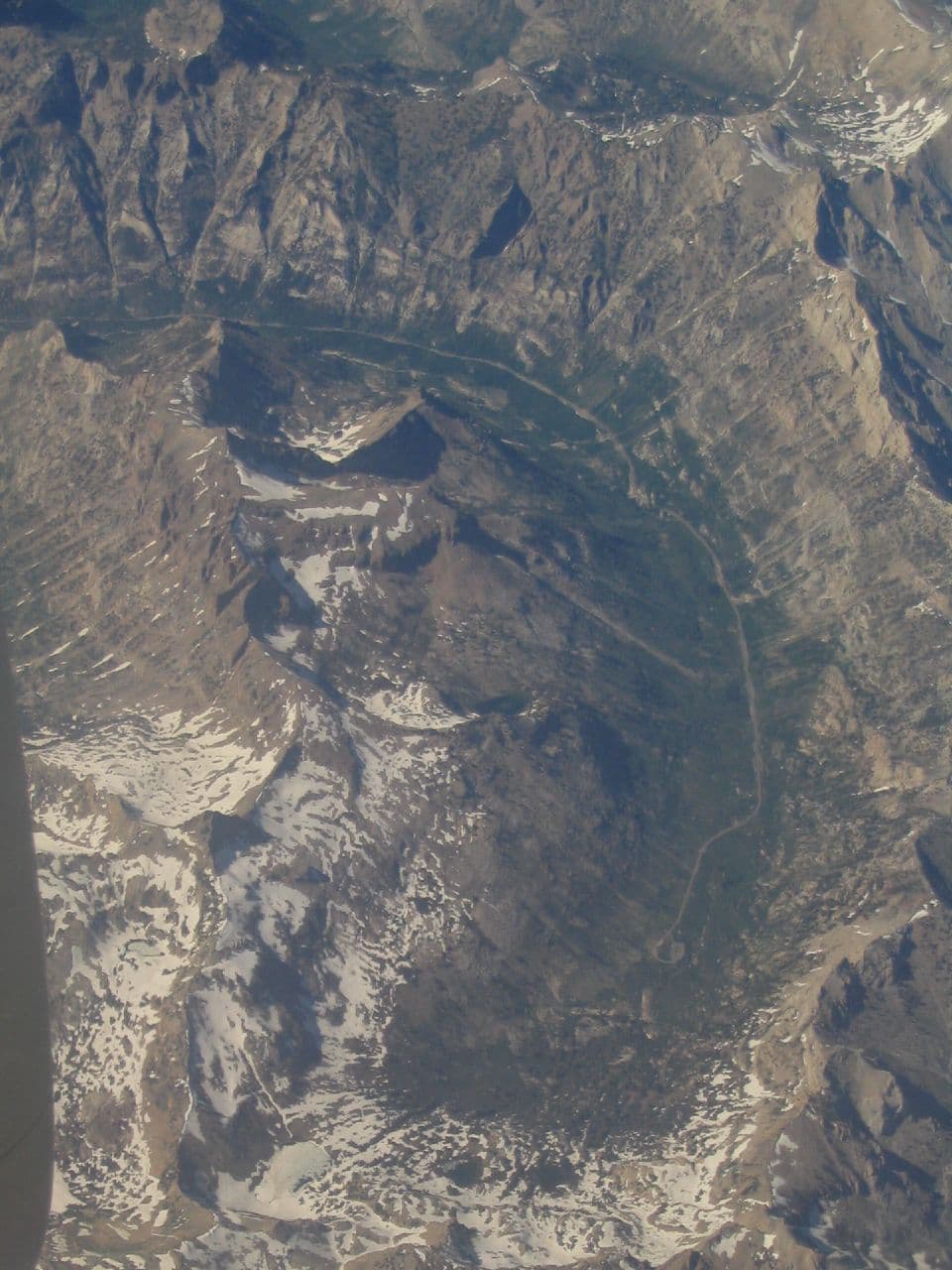
Warm stone under your palms, the faint whisper of wind, and then — the shock of ancient rock art appearing against raw desert rock. These Hohokam petroglyphs carry a palpable sense of deep time, and arriving at dawn means having this quiet hillside almost entirely to yourself. The short, moderate scramble up is well worth it for solo travelers seeking a reflective, less physically demanding cultural stop before a bigger hike.

Signal Hill (petroglyphs)
Smithsonian Institution. Bureau of Ethnology / wikimedia (Public domain)
Main petroglyph panel at the base of Signal Hill is best in soft early light, when the carvings cast subtle shadows that make the etchings pop.
Not wheelchair accessible; moderate, uneven terrain and a short but real climb.
25 min driveA longer stretch of desert road connecting the two clusters, with saguaro density thickening the closer you get to the trailhead.
7:15 AM - 9:45 AM
Mica Mountain Scenic Loop Trail · midday · 150 min · Rincon Peak High Country

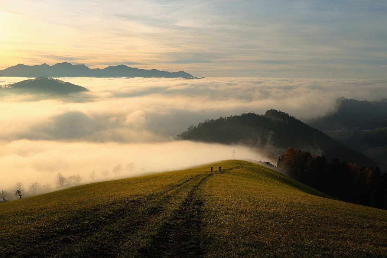
Five miles of rolling desert trail with minimal elevation stress, this loop delivers maximum saguaro grandeur without the brutal climb of its neighboring trails. The crunch of gravel, distant hawk calls, and towering green sentries make for a meditative solo hike — moderate enough to complete before the day's heat becomes dangerous if started early. Tell someone your route and expected return time before setting out, and carry a paper map as backup since cell coverage thins out here.
Mica Mountain Scenic Loop Trail
Photo by shogun on Pixabay
The high point near mile 2.5 offers a panoramic saguaro forest view with the Rincon ridgeline behind — best photographed between 8-9am while shadows are still long.
Not wheelchair accessible; uneven, rocky terrain with sparse benches for rest.
Dinner
Saguaro Corners Resteraunt and Bar $$
American · Near Cactus Forest Loop, a short drive from Rincon Peak High Country
A comfortable return spot after a longer hiking day — the bar seating makes it easy to strike up conversation with other park visitors over a cold drink.
Optional detour: Hugh Norris TrailAfter Mica Mountain Scenic Loop Trail and before dinner
For experienced solo hikers craving a bigger challenge, this trail's switchbacks and summit views deliver one of Arizona's most magnificent desert panoramas. Skip if: At 3 hours and an intense energy rating, it's a lot to add on the same day as Mica Mountain Loop — better saved for Day 3 or skipped if you're pacing yourself for the trip's final day.
If it rains: If rain moves in, both Signal Hill's access road and Mica Mountain's rocky trail become slick and risky — defer both to another day and consider the Arizona-Sonora Desert Museum or the park's visitor center exhibits as an indoor alternative.

Before the sun has fully cleared the horizon, the short climb to Signal Hill rewards with ancient petroglyphs pressed into warm stone — a quiet, almost private encounter with centuries of human history layered into the desert. The wind is the only sound, and the sense of deep time is hard to shake as you trace the carvings with your eyes.

The drive to Mica Mountain Scenic Loop Trail cuts deeper into saguaro country, and the trail itself unfolds gently — five miles of rolling desert terrain that never demands too much, but delivers constant visual reward. By the time the loop closes, the heat has usually started climbing fast, making the timing of an early start feel like a small victory.

After a demanding but rewarding day, dinner back at a familiar bar-seating spot offers both rest and low-key social opportunity — solo travelers often find these communal tables an easy way to swap trail notes with other visitors. The evening winds down early, with rehydration and sleep prioritized ahead of an ambitious final day.

Backcountry Ambition

Day 3: Into the High Country

The most physically demanding day, built around a serious climb on Hugh Norris Trail with sweeping summit views, totaling up to 6 miles of strenuous elevation gain.

Wear
Layered clothing for temperature swings between desert floor and higher elevation, broken-in hiking boots, sun protection, and a hydration system carrying 3+ liters.
Budget
$40-60 (trail snacks, hydration, casual dinner)
5:30 AM - 8:30 AM
Hugh Norris Trail · morning · 180 min · Rincon Peak High Country

This is the day's centerpiece — a 2,400-foot climb through dusty switchbacks beneath towering saguaros, your own breath the loudest sound in the quiet desert. Starting before dawn means climbing through the coolest hours and reaching the Wasson Peak Junction overlook as the valley below is still soft with early light. Solo hikers should register their plan with someone before setting out and descend well before early afternoon, when summer thunderstorms can build fast.

Hugh Norris Trail
brewbooks from near Seattle, USA / wikimedia (CC BY-SA 2.0)
Wasson Peak Junction overlook at 7,730 feet delivers a sweeping valley panorama — best photographed within the first two hours of light before haze builds.
Not wheelchair accessible; steep, uneven switchback terrain not recommended for those with mobility concerns.
20 min driveA short, quiet drive back toward the Cactus Forest Loop, the adrenaline of the climb slowly settling into calm.
10:30 AM - 11:15 AM
Javelina Picnic Area and Viewpoint · afternoon · 45 min · Cactus Forest Loop

After the exertion of Hugh Norris, this flat, shaded viewpoint offers a well-earned rest — benches scattered throughout make it easy to sit, rehydrate, and simply absorb the desert's silence. The saguaro-framed views feel different now, seen through the tired satisfaction of a solo summit push, and the moderate crowd by late morning is easy to tune out.

Javelina Picnic Area and Viewpoint
Photo by Pexels on Pixabay
Pullout overlook framing distant mountains behind foreground cacti works well in the softer late-morning light.
Flat, wheelchair-accessible paths with frequent benches — a good contrast to the morning's strenuous terrain.
Lunch
Saguaro Corners Resteraunt and Bar $$
American · Near Cactus Forest Loop
A well-earned post-summit meal spot with bar seating that welcomes solo diners — ideal for a hearty lunch and recovery after the morning's climb.
Optional detour: Rincon Peak TrailAs an alternative to Hugh Norris Trail on Day 3, for those with a full day and strong fitness
For seriously ambitious solo hikers, this 8.4-mile trail delivers a dramatic transition from desert to alpine terrain and unmatched summit solitude. Skip if: At 5-6+ hours and intense difficulty, it's a significant step up from Hugh Norris and better suited to a dedicated full day rather than combining with any other stop — most solo travelers on a standard pace should choose Hugh Norris instead.
If it rains: Afternoon monsoon storms are common in summer — if thunderstorms threaten, descend Hugh Norris Trail before 2pm regardless of progress, and treat Javelina Picnic Area as a rain-shortened stop rather than a full visit.

Setting out well before sunrise, the switchbacks of Hugh Norris Trail climb steadily through saguaro-studded slopes, the desert floor falling away with every turn. By the time the Wasson Peak Junction overlook comes into view, the valley below is bathed in early light, and the solitude at this hour feels like a reward earned through effort rather than luck.

The short drive back to Javelina Picnic Area offers a gentle counterpoint to the morning's exertion — flat paths, frequent benches, and shaded views that invite a slow, restorative pause. It's here that the trip's early lessons about pacing and heat awareness pay off, legs tired but spirit steady.

A final meal at a familiar, welcoming spot closes out the trip on an easy note — the kind of place where solo travelers can linger over a good meal without pressure, reflecting on three days spent among saguaros, petroglyphs, and desert light that never quite looked the same twice.

Want to tweak this trip?

Our AI planner can customize this itinerary to your exact dates, interests, and travel style.

Customize This Itinerary
Good to Know

Restaurant details (hours, menus, availability) change frequently. Check current hours before visiting, especially in seasonal destinations.

Dietary compatibility tags are general guidance. If you have severe allergies, confirm directly with the restaurant.

Travel tips are general guidance, not professional safety advice. Check government advisories and park conditions for the latest information before hiking.

All prices are approximate and may vary seasonally.

We use cookies to improve your experience and analyze site usage. Essential cookies are always active. You can customize your preferences or accept all cookies. Cookie Policy