Mueller SP (near Canon City), Colorado
3-Day Itinerary for Solo Traveler
“Ridgeline & Red Rock: Three Days Solo in Mueller Country”

The air up here is thin and pine-scented, and the trails unspool through ponderosa forest toward views that make you stop mid-stride. Mueller State Park rewards the solo traveler with solitude on weekday mornings and enough dramatic geology — canyon rims, sandstone spires, fossil beds — to fill three unhurried days. This is a trip for early risers who want the overlook to themselves before the light gets hard and the parking lots fill.
At a Glance
Highlights
- Sunrise solitude on the Outlook Trail before the weekend crowds arrive
- The white-knuckle hairpins of 1905's Skyline Drive with zero guardrails
- Standing where dinosaur bones once weathered out of Garden Park's sandstone
- A mile-high bridge sway over the Arkansas River at Royal Gorge
- Gravel-road drama through 300-million-year-old canyon walls on Phantom Canyon Road
- Red Rock Canyon views that turn molten at golden hour
Day-by-Day Plan
Day 1: Settling Into High Country
A gentle first day easing into elevation with a moderate hike and low-key exploration, covering roughly 3 miles on foot with light-to-moderate exertion.
Arrive by 8am and the entrance road is nearly empty — just you, the smell of sage and warm juniper, and the distant murmur of wind moving through ponderosa pine. Ease into the altitude with a slow walk along the Outlook Trail's lower stretch, where red dirt trails give way to canyon views that feel earned rather than rushed. This is the softest possible introduction to the park's scale — no need to summit anything today, just let your legs and lungs adjust.
A short, easy walk through high desert scrub leads to sandstone faces still streaked with the fossil seams that made this ground famous — dinosaur bones once weathered directly out of this rock. It's quiet, almost forgotten-feeling, the kind of place where you can read every interpretive sign without anyone crowding the trail behind you. Good low-key stop for a solo traveler who wants substance without exertion.
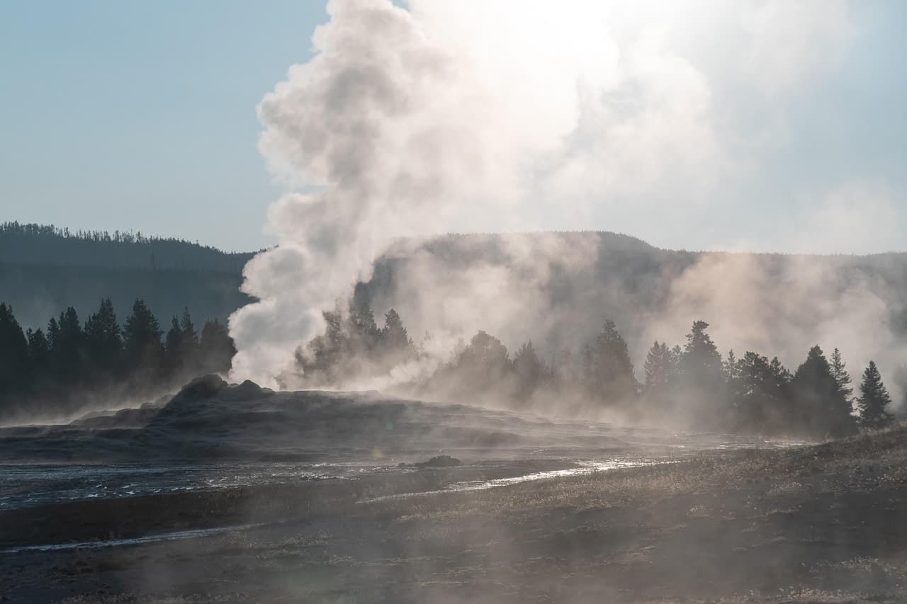
You'll want to arrive at Mueller before 8am, when the entrance road is empty and the canyon air still holds its overnight cool. The Outlook Trail's lower stretch is an easy introduction — red dirt underfoot, ponderosa pine overhead, and a canyon overlook that rewards the effort without demanding much of it. Let this first morning be about acclimating to elevation, not covering miles.
Midday shifts to something quieter and stranger: a short walk into Garden Park's fossil beds, where sandstone still bears the seams that once held dinosaur bones. It's an easy, contemplative stop — good for slowing your pace after the morning hike and giving your body a break from steep terrain before tomorrow's more ambitious day.
Head down into Canon City as the light softens over the valley. Dining options directly at Mueller are limited, so plan your evening meal in town rather than at the trailhead — Canon City's casual, ranching-heritage restaurants close early, so aim to be settled by 7pm. Use the evening to rest, refill water, and check tomorrow's weather before an earlier start.
Day 2: Spires, Switchbacks, and a Bridge in the Sky
The most physically demanding day, combining a moderate 3-mile hike with a dramatic scenic drive and a high-adrenaline bridge walk, totaling roughly 4–5 miles on foot.
Start before 7am and the trail is yours — just the crunch of decomposed granite, the dry scent of sage, and dramatic sandstone spires rising out of the silence. By mile 1.5 you reach the Pinnacles' summit outcrop, where the valley opens up below in a way that feels almost private this early. Afternoon thunderstorms are common in summer, so this early start isn't just about crowds — it's about lightning safety on exposed ridgelines.

This 1905 ridge road has no guardrails and a reputation to match — tight hairpins, a stomach-lurching drop on either side, and views of the Arkansas River valley that spread out endlessly below. Drive it slowly, windows down, and pull off at the mile 1.5 hairpin for the best look back at Canon City. It's a short, adrenaline-tinged palate cleanser between the morning's hike and the afternoon's bigger attraction.

The bridge sways almost imperceptibly beneath your feet as the Arkansas River churns a thousand feet below, rust-red canyon walls rising on either side. It's the busiest stop of the trip — arrive right at opening or push toward mid-afternoon to dodge the 10am–3pm peak crush. As a solo traveler, this is a good spot to strike up conversation with fellow bridge-walkers; the shared vertigo tends to loosen people up.
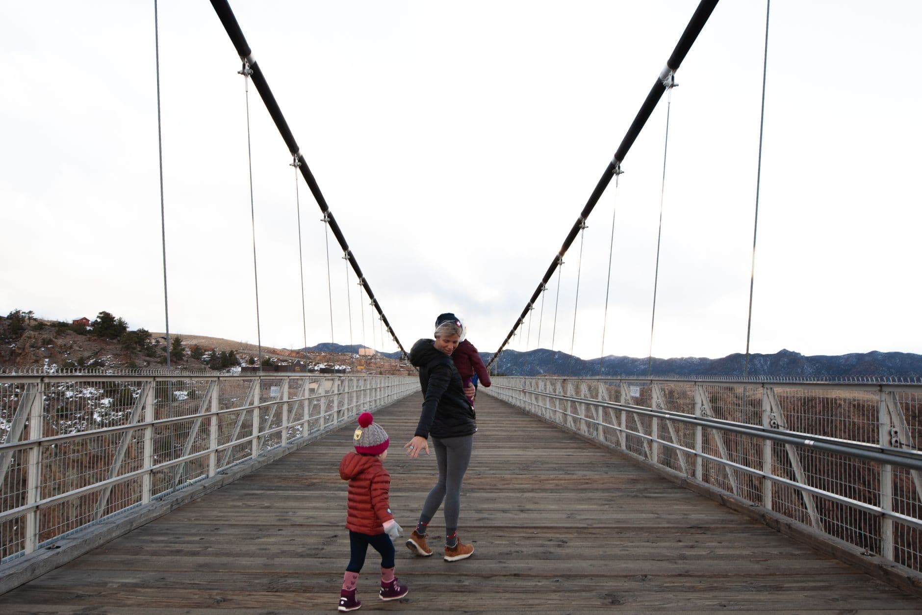
Set out before 7am for the Pinnacles Trail while the air is still cool and the light low — this is the day's real physical effort, a moderate climb through decomposed granite to sandstone spires with sweeping valley views. Getting an early start here isn't optional in summer; afternoon thunderstorms build fast on exposed ridgelines, and you want to be off the trail well before they arrive.
From the high country, drop down onto Skyline Drive's narrow, guardrail-free ridge road — a short, thrilling contrast to the morning's quiet hike. From there it's a quick descent to Royal Gorge Bridge, where the crowds pick up considerably; time your visit for right at opening or push into early afternoon to avoid the thickest midday crush, and let the sheer scale of the gorge reset your sense of what 'high' means after a morning in the pines.
Head back into Canon City for the evening, where the day's adrenaline settles into something calmer. Restaurants here close early, typically by 8–9pm, so plan to eat and wind down at a reasonable hour — a good night for journaling trail notes or simply resting legs that have earned it.
Day 3: Canyon Roads and Slow Goodbyes
A lighter final day built around a long, contemplative scenic drive with minimal walking — under 2 miles total — as a graceful wind-down before departure.
Start early for this gravel-road drive through canyon walls that glow ochre and rust in the morning light — dust rising behind your tires, the faint smell of piñon in the cool air. Stop at the mile 8 overlook for a southwesterly canyon vista and again at the mile 14 mining cabin cluster, remnants of the fortune-seekers who once chased gold through this stone. It's a solitary, unhurried way to spend a final morning, with almost no one else on the road if you're out by 8am.

Begin the final morning early, easing onto Phantom Canyon Road while the light is still low and gold. This is less a hike and more a slow, meditative drive — gravel crunching beneath the tires, canyon walls telling their 300-million-year story in layered stone, with just enough stops at mile 8 and mile 14 to stretch your legs and take in mining-era history without demanding much physical effort.
As the drive winds down near midday, the pace naturally shifts toward departure — a good window to grab a final casual meal in Canon City before the drive back to Denver or Colorado Springs. There's no need to rush; the canyon road has already done the work of a proper send-off.
If your departure allows, spend the last evening quietly in Canon City rather than rushing straight to the airport — a final relaxed meal and an early night make for a far better transition than a late departure after three days of early mornings and mountain air.
Want to tweak this trip?
Our AI planner can customize this itinerary to your exact dates, interests, and travel style.
Customize This ItineraryRestaurant details (hours, menus, availability) change frequently, and specific dining options near several park POIs were limited in our sources — confirm current options in Canon City before finalizing meal plans, and consider packing trail snacks as backup.
Dietary compatibility tags are general guidance. If you have severe allergies, confirm directly with the restaurant.
Travel tips are general guidance, not professional safety advice. Check government advisories and local park conditions for the latest information, especially regarding weather and trail closures.
All prices are approximate and may vary seasonally.