Red River Gorge (Slade area), Kentucky
2-Day Itinerary for Couples
“Stone Arches & Slow Mornings: Two Days in the Red River Gorge”

Here, sandstone doesn't just stand—it arches, hovers, and glows amber at the edges of the day. This is a landscape built for two: quiet overlooks, ridge-top silence, and evenings that end early enough to actually watch the stars.
At a Glance
Highlights
- Standing beneath Sky Bridge's 78-foot span before the crowds arrive
- Golden-hour views from Chimney Top Rock's weathered cap
- A high ridge walk along Auxier Ridge with the gorge dropping away on both sides
- Natural Bridge's thousand-foot gorge views framed in ancient stone
- Early starts that trade summer heat for solitude
- Slow, unhurried evenings back in Slade village
Day-by-Day Plan
Day 1: Arches, Arrival, and Easy Light
A lighter first day centered on the accessible Natural Bridge & Sky Bridge cluster, with about 2.5 miles of walking and moderate energy output.
Arrive by 8am and the gorge is still holding its breath—mist curling below the arch, the air cool and green-smelling with rhododendron. The trail climbs gently through hardwood forest before opening onto the bridge itself, a pale sandstone span framing a thousand feet of layered ridgeline. By 9:30am the parking lot fills and the quiet you had to yourselves starts to disappear.

A short drive delivers you to a different kind of drama—Sky Bridge's 78-foot arch feels more intimate, more secret, tucked into cool canyon air that smells of damp stone and understory green. Walk the loop trail to stand beneath the arch and look straight up at millions of years of erosion holding its shape. Midday brings more foot traffic here, but the gorge rim viewpoint still offers a few quiet minutes if you linger past the main crowd flow.
The day begins gently, with the gorge still cool and half-shrouded in mist. Natural Bridge rewards the early risers—by the time most visitors are finishing breakfast, you've already stood beneath a thousand-foot view that feels like it belongs to you alone. The pace here is unhurried, made for pausing on switchbacks to catch your breath and the view together.
After Sky Bridge's quieter, more intimate arch, the afternoon opens up for rest—settle into Slade for lunch (pack a picnic or ask your lodging for recommendations, as trailside options are limited) and let the heat of the day pass before any more walking. This is the moment to slow down, put your feet up, and let the morning's miles settle.
With no further stops planned, evening becomes about presence rather than itinerary—a slow dinner in Slade, wherever curiosity or your host's recommendation leads, followed by an early night. Summer's long daylight means there's still a soft golden hour to catch from your porch or cabin window before the day closes.
Day 2: Ridge Line and Rust-Red Stone
A more demanding day exploring the Auxier Ridge & Chimney Top cluster, covering roughly 3.5-4 miles at a higher energy output than Day 1.
Arrive by 7:30am and Chimney Top belongs entirely to the two of you—cool wind whipping around bare rock, the mineral scent of ancient sandstone, and 360-degree views of rust-red cliffs still catching first light. By mid-morning weekend crowds start trickling in, but this early the only sound is wind and the distant rush of the Red River below.

From Chimney Top the trail connects into Auxier Ridge's exposed spine, where the forest drops away on both sides to reveal layered ridgelines fading into blue haze. This is high-energy terrain—narrow in places, wildly scenic throughout—rewarding couples willing to move steadily and pause often at the overlooks. Starting mid-morning means you'll beat the worst of the summer heat and most of the day's foot traffic, though by late morning you may share the ridge with a few other early hikers.
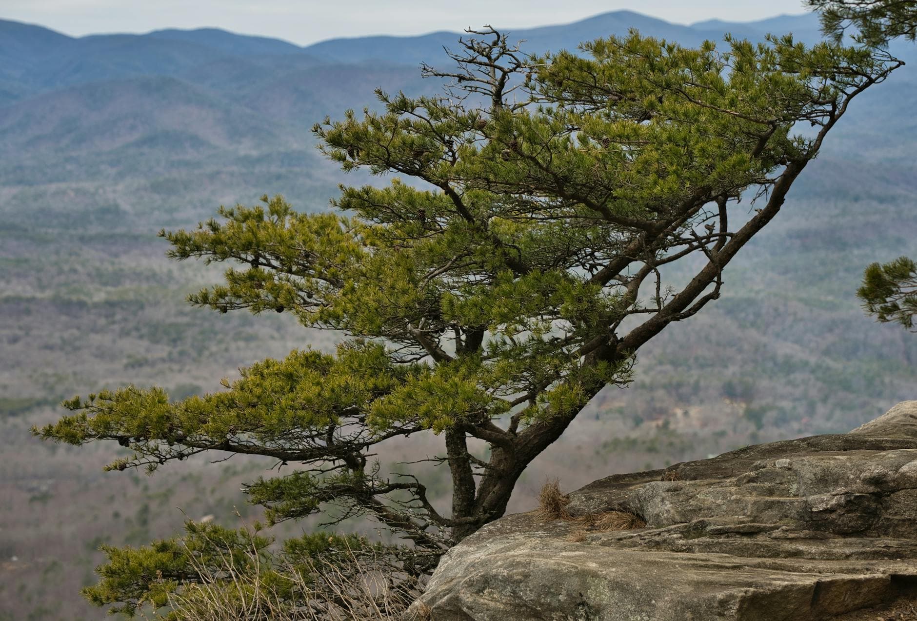
The day starts before the heat does—Chimney Top's summit is cool, wind-scoured, and entirely yours at 7:30am, the kind of quiet that makes the climb worth every step. From there the trail folds into Auxier Ridge, where the real drama of the day unfolds: exposed sandstone spine, sweeping views on both sides, and a sense of scale that summer's early light makes especially vivid.
By midday the ridge walk winds down and the heat starts to build in earnest—this is the cue to head back toward Slade, rehydrate, and let the intensity of the morning settle into something calmer. Afternoon is for recovery: shade, water, and the satisfied quiet that follows a good hike shared.
With the day's physical demands behind you, evening turns toward reward—an easy dinner back in Slade, perhaps something a little more indulgent to mark the trip's final night, followed by an early wind-down. Summer evenings here stretch long and soft, perfect for sitting outside a little longer before sleep.
Want to tweak this trip?
Our AI planner can customize this itinerary to your exact dates, interests, and travel style.
Customize This ItineraryRestaurant details (hours, menus, availability) change frequently. Check current hours before visiting, especially in seasonal destinations. Trailside dining options were not available in our sources for this itinerary—plan meals around Slade or Stanton rather than expecting on-trail options, and consider packing snacks and water for hiking days.
Dietary compatibility tags are general guidance. If you have severe allergies, confirm directly with the restaurant.
Travel tips are general guidance, not professional safety advice. Check government advisories and local weather forecasts for the latest conditions, especially regarding flash flooding and storm risk.
All prices are approximate and may vary seasonally.