Red River Gorge (Slade area), Kentucky
2-Day Itinerary for Solo Traveler
“Sandstone Solitude: Two Days Alone in the Red River Gorge”

The gorge wakes up slow — mist pooling in the hollows, sandstone still cool from the night, and for an hour or two the trails belong to whoever got there first. This is a trip built for that hour: solitary ridge walks, arches that frame the whole valley, and evenings spent comparing trail notes with strangers who quickly stop being strangers.
At a Glance
Highlights
- Sunrise light pooling under the 78-foot span of Sky Bridge
- A ridge-line scramble on Auxier Ridge with nobody else in sight
- Golden-hour views from Chimney Top Rock's weathered cap
- Cool gorge air rising through Natural Bridge's stone archway
- Communal trailside conversations that turn into dinner plans
- Afternoon thunderstorm-dodging with a built-in rain backup plan
Day-by-Day Plan
Day 1: First Light Under the Arches
A gentler day easing into the gorge's rhythm with roughly 3-4 miles of walking across two iconic, well-maintained sites.
Arrive by 7am and the gorge is still holding its breath — mist curling up from below, the sandstone arch glowing pale gold as the sun clears the ridge. The trail up is moderate enough to ease you into gorge terrain without overwhelming a first morning, and by 9am the parking lot fills in fast with weekend crowds you'll have happily avoided.

A short scenic drive delivers you to a different kind of arch — Sky Bridge's 78-foot span feels more remote and windswept than Natural Bridge, with rhododendron thickets muffling sound until you break onto the open rim. Late morning light is starting to climb, so this is the window before the heat and crowds both peak; take your time on the underside viewpoint looking straight up through the stone.
The gorge greets you quietly before 7am, mist still clinging to the hollows below Natural Bridge. The climb up is steady rather than strenuous, sandstone steps worn smooth by decades of boots, and the payoff — standing under that thousand-foot gorge view framed by stone — feels earned rather than crowded, since most visitors won't arrive for another hour or two.
A short drive through backroad forest brings you to Sky Bridge, where the mood shifts from grand overlook to intimate arch-scramble. The trail winds through rhododendron before opening onto the rim, and by midday you'll have logged enough elevation and sun exposure to justify a slower, shaded afternoon back in Slade — pack away gear, hydrate, and let the early start pay off with a relaxed rest of the day.
Evening settles into the low-key rhythm the gorge is known for — most kitchens close by 9pm, so plan dinner on the earlier side. Options in the immediate Slade area are limited on the ground, so it's worth asking your lodging host for their current favorite; a hearty regional dinner and an early night set you up well for tomorrow's longer ridge hike.
Day 2: Ridge Walk to the Edge of Everything
The bigger physical day — roughly 5-6 miles across ridge and summit terrain with real elevation and exposure, best tackled early.
A short, sharp climb rewards you with 360-degree views of rust-red cliffs still holding the night's cool air — arrive by 7am and this weathered sandstone cap is entirely yours, wind whipping around bare rock with nothing but birdsong and the distant murmur of the Red River far below. It's the perfect warmup before the longer ridge walk ahead, both physically and visually.

This is the day's centerpiece — a windswept ridge-line hike where the forest suddenly drops away to reveal layered ridges fading into blue haze, sandstone weathered to a butter-gold underfoot. Starting by 8:15am means finishing the exposed sections well before any afternoon storm risk, and on a weekday you may not pass another hiker for long stretches — a rare, genuine solitude for a trail this scenic.
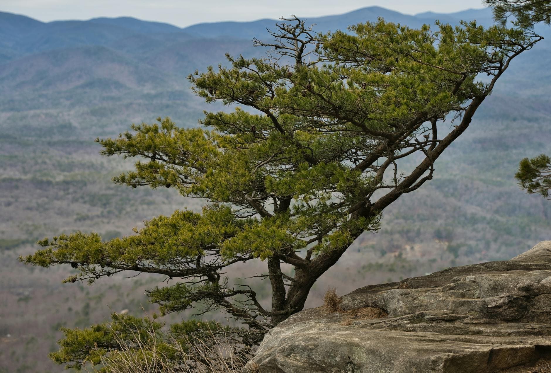
Pre-dawn quiet gives way to a brisk climb up Chimney Top Rock, the cool morning air still holding onto night's chill as the sun catches the eastern cliff faces in deep rust tones. It's a short stop, but a memorable one — few visitors make it out this early, and the summit feels entirely private.
From Chimney Top, a short connector trail leads into the heart of the day: Auxier Ridge. The forest opens unexpectedly onto sweeping views where ridge after ridge fades into blue-gray haze, and the trail's relative emptiness on a weekday morning makes it feel like a secret. By late morning, as humidity builds and clouds start stacking on the horizon, it's time to start the walk back — finishing the exposed ridge sections well ahead of any afternoon thunderstorm risk.
After a full day on your feet, the return to Slade feels well-earned. Dining options directly at the trailhead are essentially nonexistent, so plan meals around town rather than expecting anything trailside — check with your lodging for current recommendations, and aim for an early dinner given most kitchens wind down by 9pm. A quiet evening, sore legs, and the particular satisfaction of a ridge walked mostly alone make for a fitting close to the trip.
Want to tweak this trip?
Our AI planner can customize this itinerary to your exact dates, interests, and travel style.
Customize This ItineraryRestaurant details (hours, menus, availability) change frequently, especially in a small seasonal destination like Slade — check current hours before finalizing plans.
Dietary compatibility tags are general guidance. If you have severe allergies, confirm directly with any restaurant or lodging host before ordering.
Travel tips are general guidance, not professional safety advice. Check current weather and trail conditions, and consider local ranger station advisories before hiking solo.
All prices are approximate and may vary seasonally; summer weekend rates and parking fees may run higher than estimated.