St. Francois Mountains, Missouri
2-Day Itinerary for Solo Traveler
“Granite Solitude: Two Days Alone Among Missouri's Ancient Mountains”
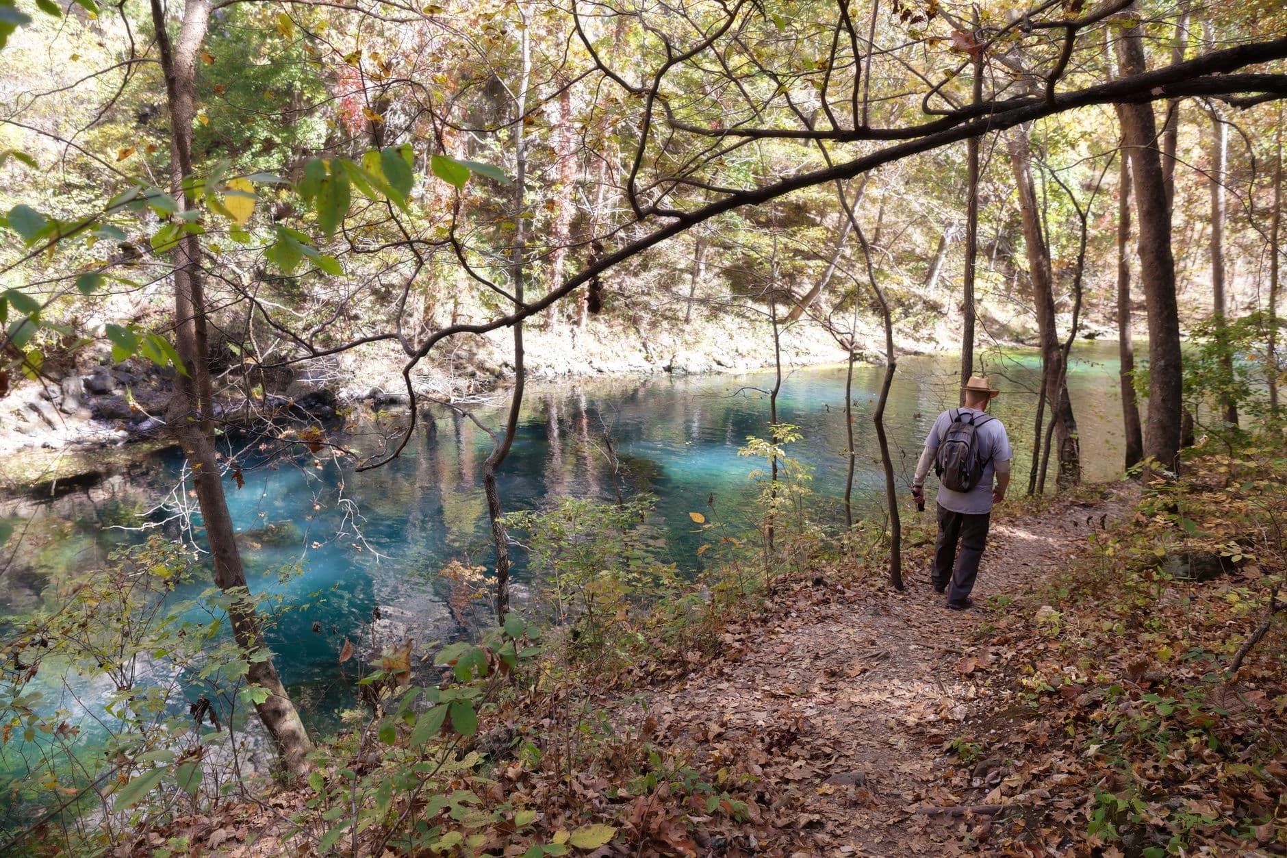
Billion-year-old granite doesn't care that you're traveling alone — it just waits, sun-warmed and silent, for you to climb it. Here, the Ozarks shed their postcard softness for something rawer: boulder fields the size of houses, turquoise shut-ins carved by ancient rivers, and a waterfall that marks the literal high point of Missouri.
At a Glance
Highlights
- Scramble across house-sized granite boulders at Elephant Rocks before the weekend crowds arrive
- Wade through turquoise shut-ins pools carved from billion-year-old rock
- Stand at Missouri's highest point beside Mina Sauk Falls
- Chase golden-hour light across ancient stone with almost no one around
- Spring wildflowers threading through granite cracks and oak-hickory understory
- Solitude-friendly trails with just enough solo-hiker camaraderie at trailheads
- Small-town Ozark pacing — early starts, early dinners, deep quiet nights
Day-by-Day Plan
Day 1: Boulders, Balance, and the Slow Arrival
A gentle orientation day centered on Elephant Rocks State Park, roughly 2 miles of easy-to-moderate walking with generous photography time and an early dinner in town.
Arrive by 7:30–8am and the boulder trail is nearly yours — just birdsong, the mineral smell of sun-warmed granite, and the occasional creak of your own footsteps on stone. These billion-year-old formations sit like a herd of fossilized elephants, and the 1-mile loop trail lets you clamber, pause, and photograph without anyone waiting behind you. By 9:30am, families start arriving and the quiet evaporates.

The day opens slow and solitary: granite still cool from the night, mist lifting off the boulder field, and nobody else on the trail but you and maybe a distant birdwatcher. This is the gentlest possible introduction to the St. Francois Mountains — no technical hiking, no crowds, just scale and stillness. Take your time climbing the bigger formations; the moderate energy here is a deliberate warm-up for tomorrow's longer trails.
With the main loop finished by late morning, ease into the afternoon at a relaxed pace — settle into your lodging in Ironton or Potosi, do a short local walk if energy allows, and use the unstructured hours to rest ahead of a more demanding second day. This is intentionally light: let jet-lag-style travel fatigue settle rather than pushing straight into another trail.
As dusk approaches, small-town Missouri rhythm takes over — most kitchens here wind down by 8 or 9pm, so plan an early dinner in Ironton or Potosi where sit-down and counter-service options cluster, and ask locally for current recommendations since specific venue data wasn't available for this stop. Turn in early; tomorrow's hiking is longer and the early-morning advantage matters even more at Johnson's Shut-Ins.
Day 2: Water, Granite, and Missouri's Highest Ground
A more demanding day covering roughly 4–5 miles across shut-ins trails and a summit hike to Missouri's highest point, with moderate energy throughout and ample photography stops.
Arrive at first light and the turquoise pools are glass-still, with mist rising off the Black River and granite canyon walls holding the cool overnight air. Wade carefully across the smooth stone basins — this is the kind of place that rewards solo travelers who move slowly and look closely, since there's no one to rush past. By mid-morning, families and weekend crowds arrive and the solitude thins fast.
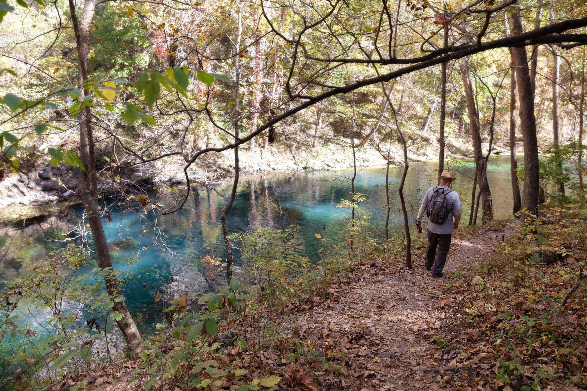
The roar builds well before you see it — cool spray hits your face first, then the 200-foot cascade reveals itself crashing into a plunge pool rimmed by smooth granite. This is a quieter corner of the shut-ins system; take the extra time here to sit at the pool's edge and let the scale of the place register before continuing on.
The day begins with intention — arriving at Johnson's Shut-Ins before the gates truly open to crowds, moving slowly across cool granite basins while the canyon is still hushed. This is the trip's physical centerpiece, and starting early both beats the heat-of-day crowds and gives you the clearest, calmest water for photography.
After the shut-ins, the short walk to Bridal Veil Falls shifts the mood from wading-pool stillness to full waterfall drama — louder, mistier, more physically arresting. From here, energy and daylight permitting, the drive to Taum Sauk Mountain rewards with sweeping Arcadia Valley views and Mina Sauk Falls tumbling over ancient granite; if legs are tired, this is the moment to call it and start the drive back toward lodging instead.
With trails behind you and granite dust still on your boots, the small-town rhythm of Ironton or Potosi reasserts itself — kitchens close early here, so aim to be seated by 7 or 7:30pm, and ask around locally for current dinner spots since specific venue listings weren't available for this stop. Let the evening wind down quietly; two days of granite, water, and solitude earn an early, unhurried night.
Want to tweak this trip?
Our AI planner can customize this itinerary to your exact dates, interests, and travel style.
Customize This ItineraryRestaurant details (hours, menus, availability) change frequently, and specific venue data was limited for this rural area — check current local listings or ask locally before finalizing meal plans.
Dietary compatibility tags are general guidance. If you have severe allergies, confirm directly with the restaurant.
Travel tips are general guidance, not professional safety advice. Check government advisories and current park conditions, especially regarding flash flood risk, for the latest information.
All prices are approximate and may vary seasonally.