White Mountains (North/South), New Hampshire
4-Day Itinerary for Solo Traveler
“Notches, Ledges & Solo Summits: 4 Days in the White Mountains”
The White Mountains don't ease you in — granite walls rise straight out of the road, rivers roar under every bridge, and the air smells like balsam and cold stone even in July. This is a trip built for solo pacing: early starts to steal the light before the crowds arrive, long drives with nowhere to be, and a summit day that rewards patience with thin air and wide horizons.
At a Glance
Highlights
- Sunrise light on Profile Lake before the tour buses arrive
- The granite squeeze of Franconia Notch framing Cannon Cliffs
- A full-day ascent of Mount Washington, weather permitting
- Mist rising off Crawford Notch after a summer shower
- 34 miles of forest canopy and hidden falls on the Kancamagus
- Golden hour at Sabbaday Falls with the crowds thinned out
- Solo-friendly bar seating and communal tables in North Conway
Day-by-Day Plan
Day 1: Settling Into the Notch
A gentle first day easing into the region with a scenic drive-and-photograph exploration of Franconia Notch — roughly 2 miles of easy walking, low exertion.
After the drive in, ease into the region rather than push through it — pull off at Profile Lake first, where the granite walls of the notch rise so abruptly it feels like the road was cut by force rather than engineering. The air carries balsam fir and the low hum of I-93 traffic somewhere below the ridgeline, a reminder you're still tethered to the modern world even as the cliffs suggest otherwise. Solo travelers will find this an easy, low-pressure first stop — short walks between pullouts, no technical terrain, plenty of benches-adjacent spots to simply sit with the scale of it.

Travel day — most solo travelers will spend the morning making the drive in from Manchester or Boston, arriving into the White Mountains by early afternoon. Take it slow on the notch roads; there's no rush today.
Ease into the landscape with an unhurried loop through Franconia Notch. Pull off wherever the light looks good — Profile Lake's shoreline, the Echo Lake overlook, the roadside pullouts beneath Cannon Mountain's cliffs. This is scenery you drive through as much as walk through, and that's exactly the point on day one: let your legs and your nervous system adjust to the altitude and the quiet before tomorrow's bigger push.
Settle into North Conway or Lincoln for the night. Both towns hum gently at this hour — breweries filling with hikers back from the trail, diners running a steady dinner rush. Solo travelers will find bar seating an easy, low-friction way to eat well and strike up conversation with fellow travelers comparing notes on tomorrow's plans.
Day 2: Into the Notch's Roar
A moderate day threading Crawford Notch's cliffs and river gorge, with roughly 3 miles of walking across scenic stops.
Arrive by 7:30am and the overlook near Crawford Depot is yours alone — just the Saco River grinding over smooth boulders and cool air pooling in the gorge before the sun climbs high enough to warm it. The notch narrows so tightly here that the granite walls seem to lean toward the road, and the scale of it hits differently at this hour, before Route 302 traffic picks up. By 10am the pulloffs fill with cars; this early window is the whole appeal.

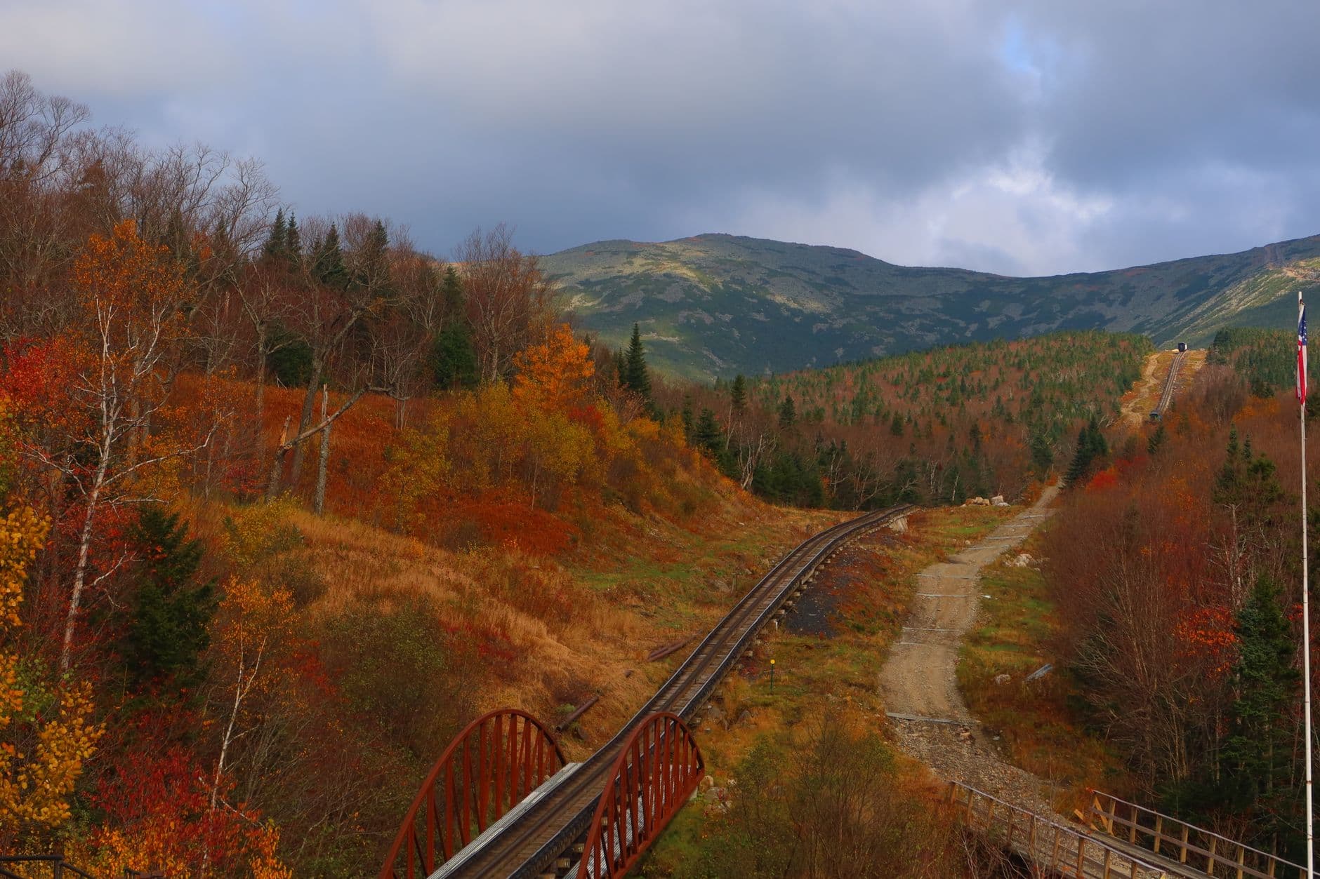
This is the day's centerpiece and it demands respect: check the Mount Washington Observatory's higher-summits forecast before committing to the full ascent, and be ready to turn back if winds spike or clouds roll in fast, which they do here more than almost anywhere else in the country. The air thins noticeably as you climb, the wind starts to have real force, and the ridgelines fade into layered purple haze in every direction — a payoff that dwarfs the exertion for solo hikers chasing something genuinely earned. For a weather-safe alternative that still reaches the 6,288-foot summit, the Cog Railway removes the risk while keeping the reward.
Start early — ideally on the road by 6:30am — to catch Crawford Notch in its quietest hour, when the Saco River's roar is the loudest sound around and the overlooks are empty. This is also your weather-check window: pull up the Observatory forecast before deciding how far up Mount Washington today's plan will go.
If conditions are favorable, commit to the long push up Mount Washington — this eats most of the day and that's by design, since it's the singular, demanding centerpiece solo travelers come to this region for. Pace yourself, layer up as the wind picks up, and treat the summit cairn with the seriousness the weather here has earned over generations of hikers.
Come down tired and hungry. Both North Conway and Lincoln offer easy, unfussy dinners well suited to solo diners who've spent a day at altitude — bar seating where trading trail stories with strangers comes naturally. Turn in early; legs will thank you tomorrow.
Day 3: The Long Green Drive
A lighter recovery day along the Kancamagus Highway, roughly 2–3 miles of easy walking spread across multiple short stops.
After yesterday's exertion, this is the recovery day the body needs — 34 miles of forest canopy with no steep grades, just pullouts and short walks to waterfalls. Arrive by 7:30am and the Sabbaday Falls pullout near mile 16 is nearly silent, birdsong and falling water the only sounds, the scent of damp earth and pine needles thick in the cool morning air. By late morning the highway fills with slower-moving traffic chasing the same views; this early window is worth protecting.

Ease into a slower rhythm today. Drive the Kancamagus with no fixed agenda beyond stopping wherever the light or the sound of water pulls you off the road — Sabbaday Falls first, then whatever pullouts between mile 20 and 25 look worth the five minutes.
Keep the pace unhurried through midday, working westward along the highway toward Lincoln. This is a day built for solitude and recovery — legs still tired from Mount Washington, camera doing more work than boots.
Roll into Lincoln or North Conway with the whole evening open. Communal-table restaurants and brewery bars here are reliably solo-friendly, the kind of places where ordering one seat at the bar draws easy conversation from hikers comparing notes on the day's trails.
Day 4: Last Light on the Ridge
A shorter final day revisiting Franconia Notch's best light before departure, roughly 1–2 miles of easy walking.
One last early start — arrive by 7am and Profile Lake sits glassy and still, the granite walls of the notch catching the first real light of the day before the parking lots fill. This is a fitting bookend to the trip: the same landmark that eased you in on day one now sends you off, though the light and the crowd levels couldn't be more different at this hour. Solo travelers will appreciate the unhurried, low-stakes nature of this final stop — nothing left to prove, just a last long look at the mountains before the drive home.
Make one final early trip into Franconia Notch, retracing day one's route but in the opposite direction — this time as a farewell rather than an introduction. The light, the quiet, and the granite walls feel different now that the trip's given you Crawford Notch's roar and Mount Washington's altitude for comparison.
Begin the drive out, whether toward Manchester, Boston, or beyond — budget extra time for notch roads and any lingering weekend traffic on I-93.
Most solo travelers will be back on the road home by early afternoon; if departure is later in the day, a final relaxed lunch or coffee in North Conway or Lincoln is a fitting close, easy solo seating still available at bar counters and communal tables around town.
Want to tweak this trip?
Our AI planner can customize this itinerary to your exact dates, interests, and travel style.
Customize This ItineraryRestaurant details (hours, menus, availability) change frequently. Check current hours before visiting, especially in seasonal destinations.
Dietary compatibility tags are general guidance. If you have severe allergies, confirm directly with the restaurant.
Travel tips are general guidance, not professional safety advice. Check government advisories and the Mount Washington Observatory forecast for the latest conditions before any summit attempt.
All prices are approximate and may vary seasonally.