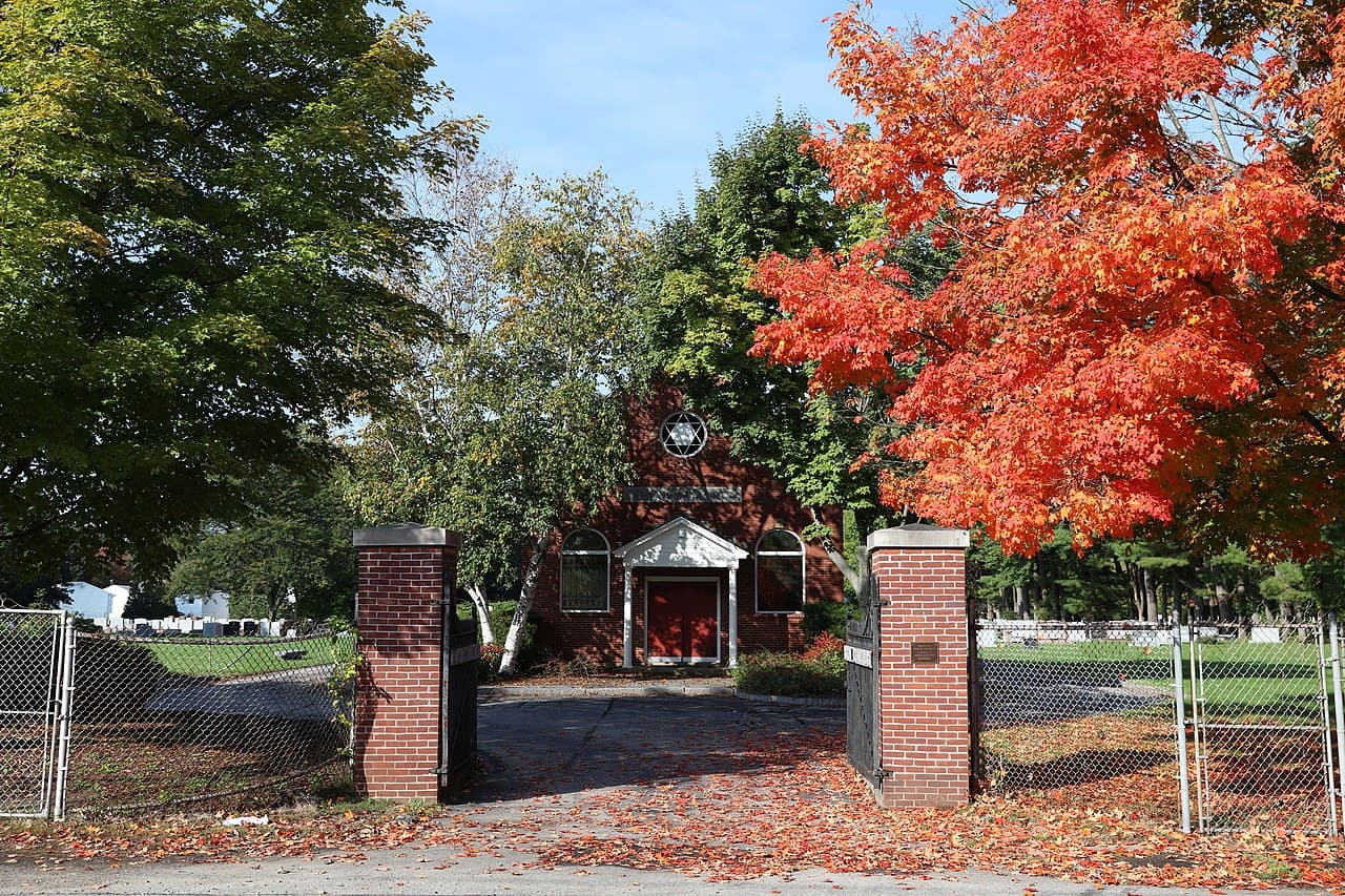
White Mountains (North/South), New Hampshire
4-Day Itinerary for Solo Traveler
“Notch Light & Winter Silence: 4 Days Alone in the White Mountains”
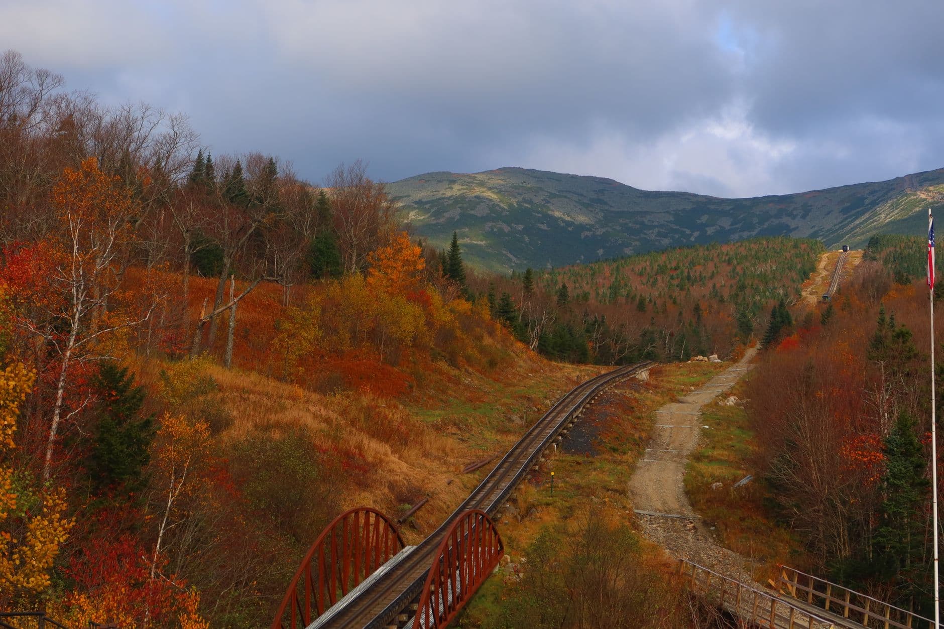
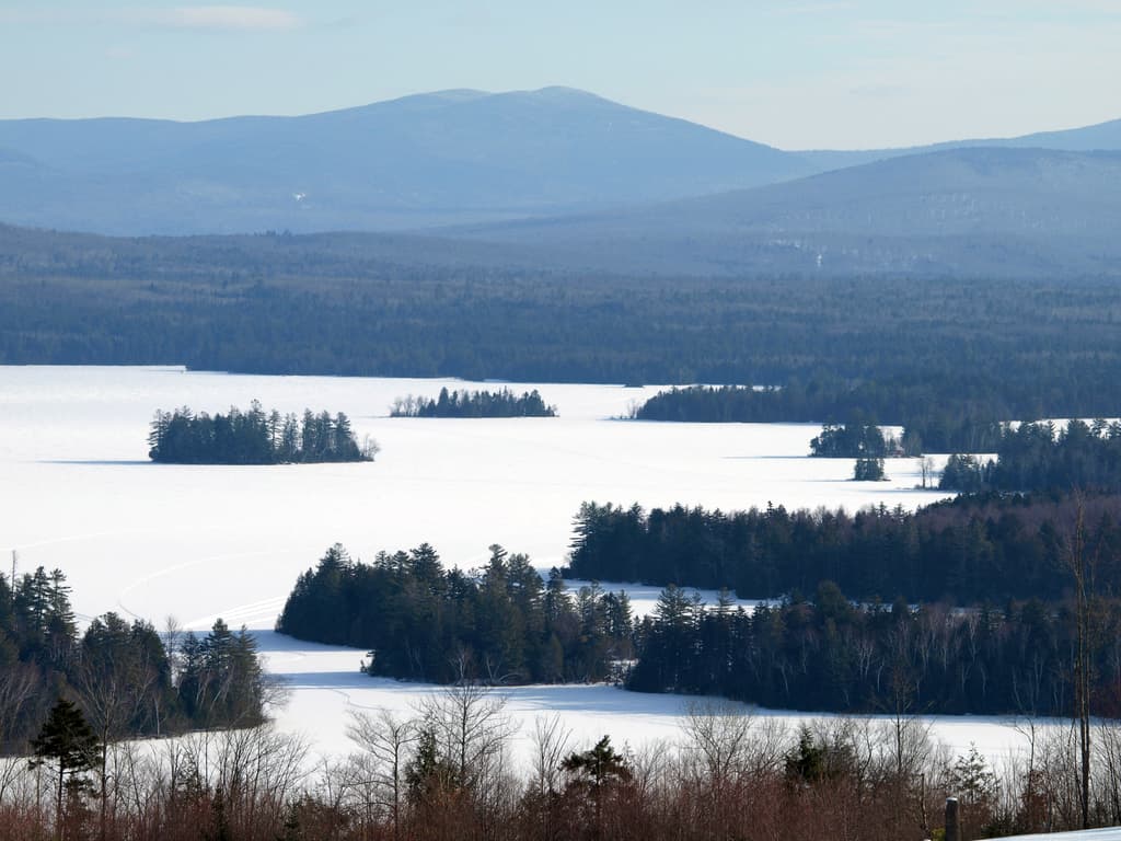
Winter strips the White Mountains down to essentials — the hiss of snow tires, the low white sun ducking behind granite walls by 4pm, the particular silence of a trailhead with no other cars in the lot. This is a trip for the traveler who doesn't mind eating alone at a bar with a view of the notch, who wants the mountains without the crowds, and who respects that this cold, quiet beauty demands real caution.
At a Glance
Highlights
- Sunrise solitude at Profile Lake with Cannon Mountain's cliffs glowing pink
- The Flume Gorge's frozen cascades and ice-sheathed boardwalks
- Crawford Notch's granite walls narrowing around a frozen Saco River
- A weather-safe ascent toward Mount Washington via the Cog Railway option
- 34 miles of Kancamagus Highway with almost no other cars
- Bar-seat dinners built for solo conversation, not solo silence
- Star-thick night skies with zero light pollution
Day-by-Day Plan
Day 1: Arrival and the Slow Unfolding of Franconia Notch
A gentle first day easing into the region with a scenic drive-through of Franconia Notch and an early, low-effort look at the Flume area before settling into North Conway; roughly 2 miles of walking, moderate energy.
After the drive north, ease into the trip with a slow pass through the notch itself — granite walls rising steep and dark on either side, snow banked deep along the shoulders, the highway's hum fading fast once you step out at a pullout. In winter light this stretch feels almost otherworldly: pale sun sliding low behind Cannon Mountain's cliffs by mid-afternoon, casting long blue shadows across the snowpack. Solo travelers will find the pullouts nearly empty this time of year — a good, unhurried way to get your bearings before tackling anything more strenuous.

As the light starts to fail — winter sunsets here arrive fast, around 4:15pm — find one last pullout near the Cannon Mountain cliffs to watch the alpenglow fade off the rock face. It's a short, quiet close to travel day, the kind of moment solo travelers often say they'd have rushed past with company.
Travel day — most of the morning goes to the drive north from Manchester or Boston, watching the landscape shift from highway sprawl to the first dark ridgelines of the White Mountains. Take it slow; there's no rush, and the notch will still be there by early afternoon.
By early afternoon, the first real taste of the trip arrives: Franconia Notch unfolding around the car, granite walls closing in, the light already beginning its long winter slant toward the horizon. A few unhurried pullout stops are enough for day one — this is about easing in, not checking every box.
As the sun drops fast behind Cannon Mountain, settle into North Conway for the evening. Solo dinner at a bar with a view of the mountains is the ideal low-key close to arrival day — a chance to warm up, get a lay of the land from a bartender who knows the notches better than any guidebook, and rest up for a bigger day tomorrow.
Day 2: Ice, Stone, and the Flume's Frozen Hush
A fuller day centered on Franconia Notch's signature features, mixing a moderate gorge walk with scenic overlook stops; approximately 3–4 miles of walking, moderate-to-intense energy given icy terrain.
Arrive by 7:30am and the notch is yours — no traffic noise yet, no other cars in the pullouts, just the crunch of snow underfoot and the occasional creak of ice settling on Profile Lake. This is the version of Franconia Notch most visitors never see: still, cold, and enormous. Solo travelers especially benefit from this early window — it's easier to feel the scale of the place without needing to share it, and there's no pressure to keep pace with anyone else.
With the morning's alpine drama behind you, shift into the gentler rhythm of the Kancamagus — forest-flanked, quiet, and in winter nearly free of traffic. Roll slowly with the windows cracked for a moment at each pullout: snow-laden spruce, the hush of a forest under a foot of powder, ridgelines fading into pale winter haze in the distance. It's a good midday palate cleanser between the intensity of the notch and whatever comes next.

Continue east along the highway toward the Sabbaday Falls area, where the falls themselves may be partially frozen into thick blue-white ice columns — one of the more striking sights the region offers in winter, and one almost nobody else will be there to see. Solo hikers should stick to well-trodden, plowed pullout paths rather than venturing far onto icy trail sections.
Early light finds you alone at Franconia Notch, the cold sharp enough to fog your breath, granite walls catching the first thin sun. This is the moment the whole trip pivots on — solitude, scale, and the particular quiet of a mountain pass before anyone else is awake.
The pace eases into the Kancamagus Highway's long forested miles, snow-heavy branches arching overhead, the drive itself becoming a kind of meditation. A stop near Sabbaday Falls rewards patience with frozen cascades few visitors ever see in this season.
Back in town by late afternoon, the light already gone, there's time to warm up properly before dinner — a good night for a bar seat and a hot meal, letting the day's cold finally thaw out of your hands.
Day 3: Crawford Notch's Granite Squeeze and the Mountain That Makes Weather
A moderate-to-intense day exploring Crawford Notch's dramatic terrain with a weather-safe approach to Mount Washington; roughly 2–3 miles of walking plus significant driving, energy level intense given the mountain's demands.
Arrive early and the notch feels almost sacred — the Saco River half-frozen and threading dark water through white ice, granite walls squeezing close overhead, no sound but your own boots on packed snow. By 9am a handful of other early risers may appear, but this window before then is yours alone. Solo travelers should note cell service disappears almost entirely through this stretch — download offline maps beforehand.

Mount Washington in winter is not a place for solo improvisation — this is the single most important safety note of the whole trip. Rather than attempting a summit hike alone in winter conditions, consider the weather-safe alternative: if seasonal operations allow, an ascent via a controlled route reaches the summit without exposing a solo traveler to the mountain's infamous, fast-shifting alpine weather. Even from lower elevations, the sense of scale is staggering — wind that can knock you sideways, ridgelines vanishing into cloud, the metallic smell of thin, cold air. Treat any approach with total respect; check conditions obsessively, and be willing to turn back at the first sign of deteriorating weather.
The day opens with Crawford Notch at its most dramatic — cold, narrow, and hushed, the kind of place that makes you feel appropriately small. Early arrival means having this granite corridor entirely to yourself.
The bulk of the day belongs to Mount Washington, approached with real caution and respect rather than bravado. Whether from a viewing point or a weather-safe ascent option, the mountain's scale and unpredictability are the whole point — a humbling centerpiece to the trip.
Back down in the valley by late afternoon, exhausted in the good way, dinner tonight calls for something warm and unfussy — a chance to trade notes with a bartender or fellow traveler about the day's conditions, a natural icebreaker for anyone solo.
Day 4: The Long Quiet Drive Home Through the Kancamagus
A lighter final day retracing part of the Kancamagus Highway for a slow, reflective farewell drive; roughly 1–2 miles of walking, low-to-moderate energy.
A final slow pass through the Kancamagus in the soft, low light of a winter morning — no rush today, just pullouts, coffee in hand, and one last look at the forest canopy heavy with snow. This is a fitting bookend to the trip: the same quiet solitude that opened the days now closing them out, the highway nearly empty, the mountains settling back into their long winter stillness after you've gone.
One last stop near the wider valley overlooks before turning south toward home — a chance to sit with the scale of the trip, the granite and ice and long silences that make winter in the White Mountains so different from any other season here.
The final morning is unhurried — a last slow drive through the Kancamagus, coffee cooling in the cupholder, the forest hushed under snow one more time before the long drive home.
By late morning, the trip winds down naturally as the highway gives way to the drive back toward Manchester or Boston — the mountains receding in the rearview, already missed.
Evening finds you well on the way home, the White Mountains behind you but the particular quiet of a solo winter trip through granite notches and frozen falls staying with you long after the snow melts off your boots.
Want to tweak this trip?
Our AI planner can customize this itinerary to your exact dates, interests, and travel style.
Customize This ItineraryRestaurant details (hours, menus, availability) change frequently, especially in winter when many establishments reduce hours or close. Check current hours before visiting.
Dietary compatibility tags are general guidance. If you have severe allergies, confirm directly with the restaurant.
Travel tips are general guidance, not professional safety advice, especially regarding Mount Washington and winter road conditions. Check government advisories and NH DOT road conditions for the latest information before traveling.
All prices are approximate and may vary seasonally, particularly for attractions with reduced winter operations.