Pennsylvania Wilds, Pennsylvania
2-Day Itinerary for Solo Traveler
“Ridgeline Solitude & Starlit Skies: 2 Days in the Pennsylvania Wilds”
Here, the forest doesn't perform for you—it simply continues, indifferent and immense, for a quarter of the state with almost no one in it. Come for the shattered viaduct suspended over a hemlock gorge, and stay for a night sky so dark it feels like falling upward.
At a Glance
Highlights
- Sunrise light on the fractured span of Kinzua Bridge
- Solo hiking on quiet stretches of Old Logger's Path
- Mountaintop haze rolling off Denton Hill's ridgelines
- Communal stargazing under Cherry Springs' near-total darkness
- Comfort food at small-town diners built for solo travelers
- Two clusters, zero rush—deep immersion over ground covered
Day-by-Day Plan
Day 1: Iron Bones & Quiet Trails
A lighter first day easing into the region's rhythm with the dramatic Kinzua Bridge and a manageable taste of Old Logger's Path—roughly 3-4 miles of walking at a relaxed pace.
Arrive while the morning air is still cool and the boardwalk is empty—by 7:30am you'll likely have the entire skywalk to yourself, just wind moving through rusted arches and the creek murmuring far below. Walk to the end of the safe section and look down through the metal skeleton where the 2003 tornado tore the bridge apart; it's a strange, humbling scale, engineering meeting weather and losing. Solo travelers often find this the easiest place in the region to strike up conversation—other early risers tend to be trail-minded and chatty.

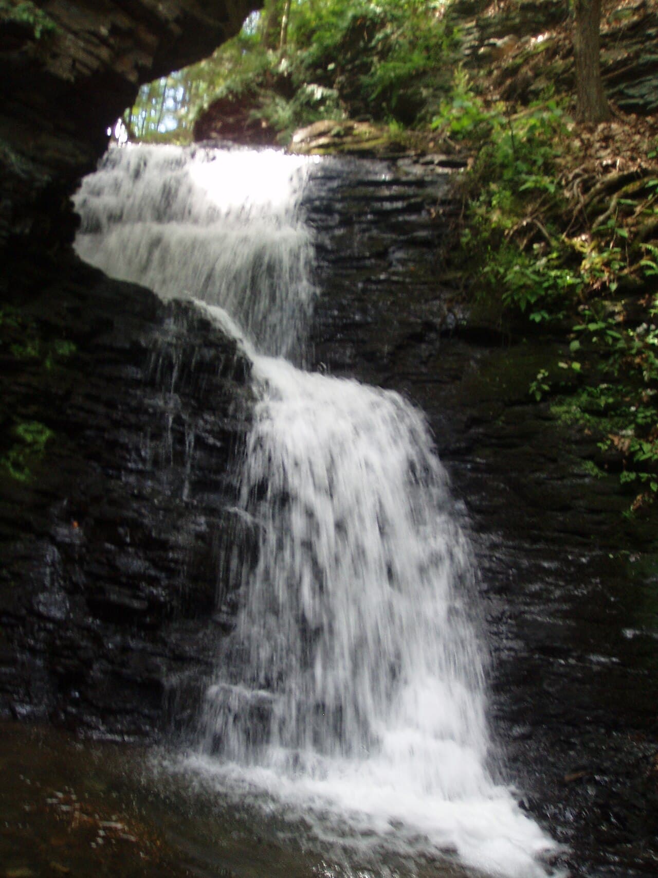
Rather than attempting the full 28-mile loop, take a partial out-and-back through the hemlock cathedral near the trailhead—three hours is enough to feel the cool, mossy hush settle in and reach one of the cascading stream sections. The silence here is profound; only water sound and the occasional woodpecker break it, and for a solo hiker that solitude is the entire point. Make noise periodically and keep bear safety in mind—this is genuinely wild ground.

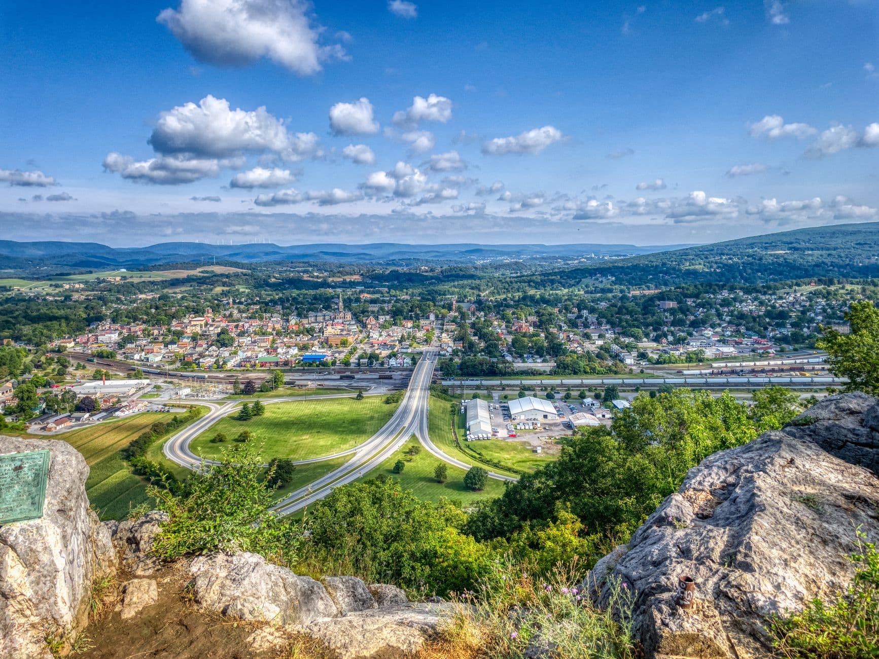
After the enclosed hush of the trail, this overlook opens everything back up—ridge after ridge rolling toward the horizon, the air smelling of balsam and warm stone. It's a quiet, contemplative stop, ideal for a solo traveler to simply sit on a rock and let the scale of the place sink in before the day winds down.
The bridge appears first as a rust-colored silhouette against the morning haze, and walking its remaining span feels less like sightseeing and more like standing inside a ruin that nature reclaimed mid-sentence. Arriving early means near-total solitude—just cool air rising off the gorge and the occasional creak of old metal.
The pace shifts from open-air awe to enclosed, mossy quiet as the hemlocks close in along Old Logger's Path—an out-and-back rather than the full grueling loop, sized right for a first day. By early afternoon, the trail gives way to Denton Hill's wide-open ridgeline views, a deliberate contrast after hours under canopy.
With no verified dining options mapped directly to today's stops, plan your evening meal around your basecamp town rather than the trailheads themselves—small-town diners here tend to close by 8-9pm, so aim to settle in and eat early before the light fades completely.
Day 2: Chasing Darkness at Cherry Springs
A slower, low-mileage day built around daylight rest and an evening-into-night stargazing session at Cherry Springs—light walking, high sensory payoff.
By full dark, the sky here does something most people have never seen—the Milky Way arcs directly overhead in a dense, granular band, and stars crowd the horizon in every direction with no glow of distant towns to compete. This is one of the best social opportunities of the trip for a solo traveler: astronomy enthusiasts and photographers set up telescopes side by side in the public viewing field and conversation flows easily in the dark, united by shared awe. Arrive before sunset to scout your spot and let your eyes adjust slowly—red flashlights only, and give yourself at least 20-30 minutes before the sky truly reveals itself.

Today deliberately holds its cognitive and physical load low—no major hike, no long drive—since the real payoff arrives long after sunset. Spend the daylight hours resting, prepping gear, and easing travel fatigue from the previous day's mileage.
As afternoon light softens, make the drive toward Cherry Springs with time to spare, since arriving early means claiming a good spot in the viewing field before the after-dark crowd builds. Since no verified dining sits directly at the park, plan your last real meal in town before you go dark for the night.
The transition from dusk to true night here is the whole event—stars emerge in layers until the sky is almost overwhelming, and the shared hush of strangers looking upward together is as much the experience as the view itself. Head back carefully on unlit roads once you've had your fill, ideally before midnight.
Want to tweak this trip?
Our AI planner can customize this itinerary to your exact dates, interests, and travel style.
Customize This ItineraryRestaurant details, including hours and availability, change frequently in this rural region—confirm before making a special trip, especially for dinner given early closing times.
Dietary compatibility information is general guidance only; confirm directly with any restaurant if you have severe allergies or strict dietary needs.
These are general travel tips, not professional safety advice—check current park conditions, weather forecasts, and any government advisories before heading into remote trail or overlook areas alone.
All prices are approximate estimates and may vary seasonally or with changing park fees.