Blue Ridge Highlands (Bristol, Abingdon), Virginia
2-Day Itinerary for Solo Traveler
“Ridgeline Solitude: Wild Ponies and Rail-Trail Miles in the Blue Ridge Highlands”
Winter strips the Blue Ridge Highlands down to bone and breath—frost-rimed meadows, empty overlooks, and a silence broken only by wind and the occasional whinny of a shaggy pony. This is solo travel at its most restorative: two days of wide-open ridgeline, a legendary rail-trail, and small-town warmth to thaw out in after dark.
At a Glance
Highlights
- Wild ponies grazing frost-dusted meadows at Grayson Highlands
- Standing where Virginia touches its highest sky near Mount Rogers
- Solitary gravel miles along the Virginia Creeper Trail's restored trestles
- Laurel Creek running cold and clear beneath hemlock and bare rhododendron
- Early-morning light with the ridgelines entirely to yourself
- Small-town evenings built for solo diners—bar seats and easy conversation
Day-by-Day Plan
Day 1: Into the High Meadows
A moderate 4-mile day centered on Grayson Highlands' wind-scoured meadows, easing into the trip with wildlife viewing and sweeping views rather than summit exertion.
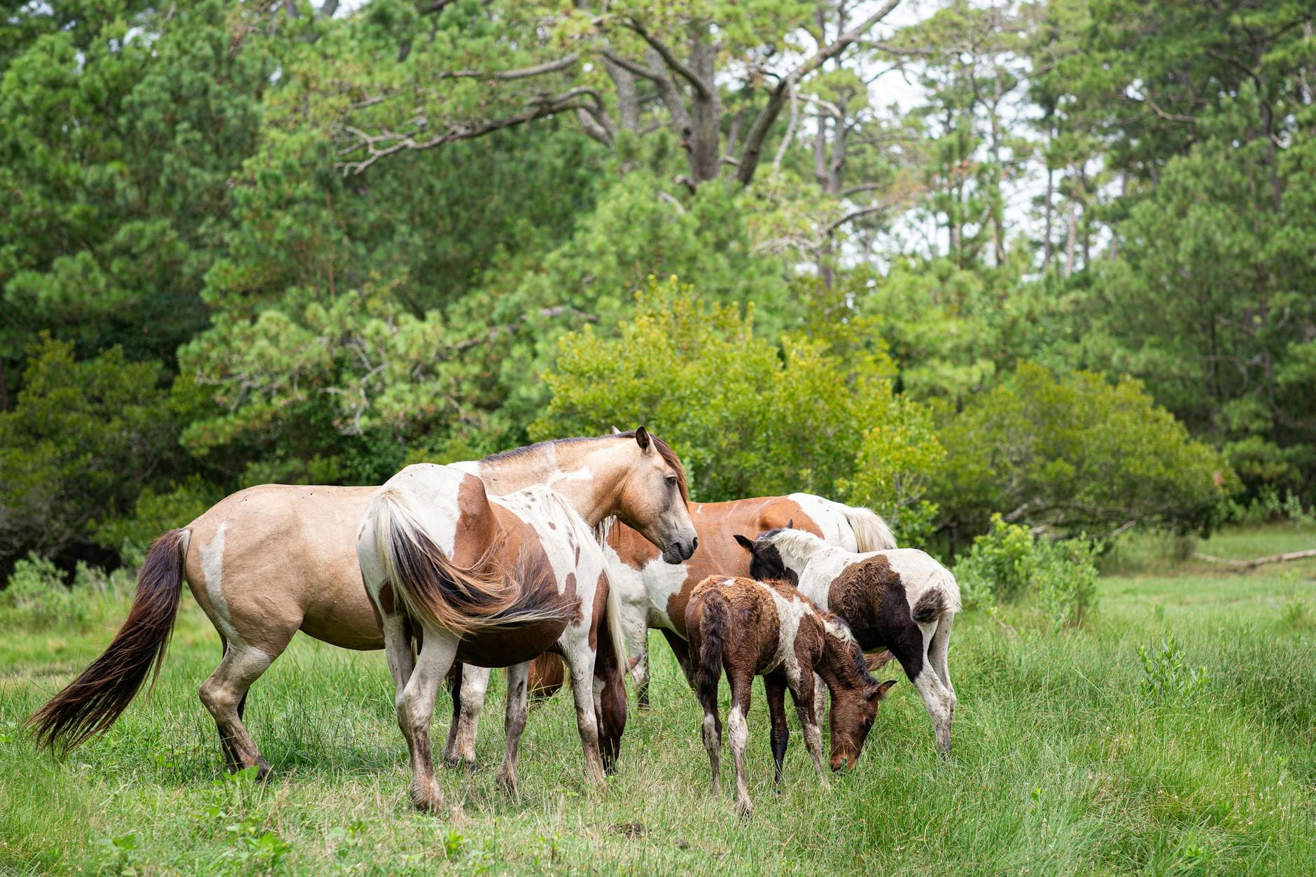
Arrive by 8am and the meadows are yours alone—frost still silvering the grass, the ponies' breath visible in small clouds as they graze along the ridgeline. Winter thins the crowds to almost nothing here, so the soft thud of hooves and distant whinnies carry clearly across the open highland bowl. Keep a respectful 50-foot distance; these are wild animals even if they look approachable, and solo hikers especially should resist the urge to get close for a photo.

From Grayson Highlands, a shorter approach route toward Mount Rogers takes you through dense spruce-fir forest that mutes sound to almost nothing—just your boots on packed snow or frozen earth and the occasional creak of ice-laden branches overhead. This is Virginia's highest point, and even a partial approach rewards you with a sense of scale that's hard to find elsewhere in the state. Solo travelers should turn back well before dusk; the trail has sparse waymarking and no cell signal once you're deep in the trees.

The day opens gently and cold, with frost still clinging to the meadow grass as you make your way into Grayson Highlands before the sun has fully cleared the ridgeline. Wild ponies move unhurried through the open highland, their shaggy winter coats blending into the frosted grass, and for a solo traveler arriving early, the quiet feels almost private—just wind, hooves, and the occasional distant call of a hawk riding the thermals above the ridge.
By midday you shift from wide-open meadow to dense, hushed forest as the trail toward Mount Rogers climbs steadily through spruce and fir. The pace slows and the mood turns more introspective—this is a place built for solitude, and even a partial approach toward the summit delivers panoramic reward. Watch the light and your turnaround time closely; winter days here end fast, and the trail's sparse markings are easy to lose in fading light.
With the ridgeline behind you, the drive down into Damascus or Abingdon feels like a return to warmth and human noise after hours of wind and quiet. Options for dinner in this immediate area aren't mapped in detail here, so plan your meal around whichever trail town you're overnighting in rather than expecting much right at the trailhead—pack a snack for the drive just in case. Settle into an early dinner, since most kitchens in these small towns wind down by 9pm, and consider a spot with bar seating where striking up conversation with another traveler or a local comes easy.
Day 2: Rail-Trail Miles and Small-Town Warmth
A moderate 5-6 mile day tracing a scenic stretch of the Virginia Creeper Trail on foot or bike, followed by an easier afternoon exploring Damascus before an evening of dinner and live music.
Start early while frost still clings to the trestle railings and the gravel path is nearly empty—by 8:30am you'll likely have long stretches entirely to yourself, just the rush of Laurel Creek below and the creak of bare rhododendron branches overhead. Winter strips the foliage back, opening views of the creek and surrounding ridgelines that summer's green canopy usually hides. This is a good stretch for solo hikers or cyclists; the trail is well-marked and popular enough that you're rarely far from other trail users if you need assistance, though weekday winter mornings mean genuine solitude.
The trail unspools ahead of you in cold, still air, gravel crunching underfoot or tires as Laurel Creek runs loud and clear just off the path. Bare winter branches open up long sightlines to the creek and surrounding hills that would be hidden in summer, and the restored trestles arrive like small triumphs of engineering framed against pale winter sky. Moving at your own pace, stopping when the light or a creek crossing catches your eye, this stretch is built for the unhurried solo rhythm of a mountain-ski style day.
As the trail eases toward Damascus, the pace shifts from trail focus to town wandering—shopfronts, gear stores, and the low hum of a small Appalachian town going about its winter business. This is a good window to warm up, refuel, and let tired legs recover before the evening ahead. The mood softens here, trading solitude for the easy, low-key sociability small trail towns are known for.
Evening settles in fast this time of year, and by the time you're back in town, warm light spilling from restaurant windows feels well earned. Specific dining options for this stretch of the corridor aren't detailed in available data, so it's worth planning your meal around Damascus, Abingdon, or Bristol proper rather than expecting much directly on the trail—ask locally, as small unmapped spots and seasonal stands are common in these towns. Look for a place with bar seating or a communal table; the region's small-town rhythm makes it easy to fall into conversation with fellow travelers or locals unwinding after their own day outdoors, and most kitchens will have you fed and settled well before the 9pm quiet sets in.
Want to tweak this trip?
Our AI planner can customize this itinerary to your exact dates, interests, and travel style.
Customize This ItineraryRestaurant details (hours, menus, availability) change frequently, and this itinerary does not include invented dining recommendations where no verified data exists. Check current hours before visiting, especially in seasonal, small-town destinations.
Dietary compatibility tags are general guidance. If you have severe allergies, confirm directly with the restaurant.
Travel tips are general guidance, not professional safety advice. Check government advisories and local road/trail conditions for the latest information, especially in winter.
All prices are approximate and may vary seasonally.