3 DaysCouples5 Stops

Canaan Valley (Davis, Thomas), West Virginia

3-Day Itinerary for Couples

Mist, Ridgeline & Stone: Three Days in Canaan Valley

Mist, Ridgeline & Stone: Three Days in Canaan Valley

Here, mountains hold onto weather like memory—mist curling through hemlock gorges at dawn, wind combing grass on a plateau that thinks it's Canada. This is a trip for couples who want their conversations punctuated by waterfalls instead of traffic, and their evenings quiet enough to hear the river.

At a Glance

Climate & Weather
Summer here is mild by national standards—daytime highs hover near 71°F at elevation, though valleys can run warmer and lowlands hotter. Mornings are cool and often misty; afternoon thunderstorms are common, so pack a light rain shell, layers for temperature swings, and sturdy broken-in hiking boots. The high plateau (especially Dolly Sods) can be 10-15°F cooler and windier than Davis or Thomas.
Getting Around
A car is essential—there's no public transit, and trailheads, overlooks, and towns are spread across the valley and connected by winding mountain roads. Distances look short on a map but take longer than expected; budget extra time, especially on gravel forest roads leading to Dolly Sods.
Budget
Budget roughly $90-150/day per couple for food and activities—modest Appalachian diners and lodge dinners run $$-$$$, state park entry and hiking are largely free, and the splurge comes in the form of one upscale dinner and comfortable lodging rather than pricey attractions.
Safety
This is genuinely safe, prepared-visitor country—black bears and copperheads are present but rarely a problem if you store food properly and stay alert on rocky trails. Weather can shift fast on exposed ridgelines; always tell someone your hiking plan, carry a paper map (cell service is unreliable in the backcountry), and turn back if storms roll in on Dolly Sods, where there's no shelter.
Connectivity
Cell coverage is spotty to nonexistent in Dolly Sods and patchy elsewhere in the valley—download offline maps before you go. Lodges and towns like Davis and Thomas generally have WiFi and at least one reliable carrier's signal.
Local Tips
Start every day early—not just for light and photos, but because most restaurants and services close by 8 PM and locals rise with the sun. Book any lodge dinner reservations ahead, especially on summer weekends, and pack your own snacks/water for Dolly Sods since services are essentially nonexistent out there.

Highlights

  • Sunrise mist rising off Blackwater Falls' 65-foot plunge
  • Golden hour at Lindy Point, one of West Virginia's most cinematic overlooks
  • A full day lost on the windswept, otherworldly plateau of Dolly Sods
  • Standing beneath the sheer quartzite spine of Seneca Rocks
  • Slow mountain dinners built around trout, game, and quiet lodges
  • Early starts that trade crowds for solitude and soft light

Day-by-Day Plan

Settling In, Waterfall Light

Day 1: Arrival & the Roar of Blackwater

A gentle arrival day centered on Blackwater Falls State Park, with two iconic, low-mileage stops and an early evening built around sunset at one of the state's best overlooks—total walking under 2 miles, moderate energy.

Wear
Waterproof hiking shoes with good grip (canyon trails are wet and slippery), a light rain layer, and a warm layer for the cooler overlook breeze at dusk.
Budget
$70-100 for the couple (park access is free; budget for dinner and any lodge extras)
8:00 AM - 11:00 AM
Blackwater Falls SP · morning · 150 min · Blackwater Falls & Valley Core

Arrive by 8 AM and the gorge still belongs to the mist—65 feet of amber-tinted water thundering into a primordial canyon of hemlock, the roar filling your chest before you even see it. By 9 AM the overlooks fill in with day-trippers, so this early window is yours: cool spray on your skin, the scent of wet moss and old growth, the water catching gold light as the sun clears the ridge. Take the switchback trail down toward the lower canyon for a couple's slow wander—benches are sparse, so pace yourselves and let the sound do the talking.

Blackwater Falls SP
Millspaugh, Charles Frederick, 1854-1923 Nuttall, Lawrence William, 1857-1933 / wikimedia (Public domain)
Shoot the main overlook at sunrise when low light turns the falls amber-gold; the lower canyon switchback gives more intimate water-detail shots later in the morning.
Trails are uneven and not wheelchair accessible; footing gets slick near the falls, so wear real hiking shoes.
15 min driveA short, winding drive back through the park's forested loop road, windows down to catch the cooling evening air.
7:00 PM - 8:15 PM
Lindy Point · evening · 75 min · Blackwater Falls & Valley Core

A short, moderate walk delivers you to the edge of forever—layered ridgelines fading into purple haze, the Blackwater River a distant murmur far below. This is the splurge experience of the day, not in cost but in stillness: come for golden hour and you'll likely have long stretches of the platform to share only with each other, wind combing through your hair, canyon light softening minute by minute. It's an easy, romantic bookend to a day that started at full volume.

Lindy Point
Photo by - Ryan on Pexels
Arrive by 7 PM for golden hour—the left side of the overlook stacks ridgelines for maximum depth in photos.
Short walk but uneven terrain with some effort required; not wheelchair accessible, and benches are sparse.
If it rains: If storms roll through, the falls themselves become more dramatic viewed from the main overlook (rain enhances the spectacle), but skip Lindy Point in fog or heavy rain—the view disappears entirely and there's no indoor alternative on site, so reschedule for a clearer evening if possible.

The day begins slow and quiet, timed to beat both the heat and the crowds. Blackwater Falls SP rewards an 8 AM arrival with mist-laced solitude, the gorge's roar and cool spray a full sensory reset after travel. This is a low-effort, high-reward morning—wander the switchbacks, breathe in wet hemlock, and let jet lag or road fatigue dissolve into the sound of falling water.

Keep the afternoon unstructured and restful—settle into lodging, take a slow lunch, and let your legs recover from the morning's canyon walk before the evening's short but rewarding hike to Lindy Point. This is a day built for pacing, not packing in stops.

As the light softens, head to Lindy Point for sunset—one of the most romantic, least strenuous payoffs in the entire valley. Watch the ridgelines shift through purple and gold together, then head back for a relaxed dinner at your lodge or in nearby Davis, embracing the mountain rhythm of early nights.

Wilderness Immersion

Day 2: Wind, Grass, and the Edge of the Plateau

A full day dedicated to the raw alpine plateau of Dolly Sods—roughly 4-5 miles of moderate-to-intense hiking, the most physically demanding day of the trip, balanced with a slower, scenic drive back.

Wear
Layer heavily—wind on the plateau is relentless even in summer; wear moisture-wicking base layers, a windproof outer shell, waterproof boots for boggy sphagnum sections, and bring a hat for sun and wind both.
Budget
$60-90 for the couple (free wilderness access; budget for packed lunch supplies and dinner in Davis)
55 min driveA long, winding drive on gravel forest roads—slow going, but the kind of drive where conversation flows easily and the trees close in overhead.
7:30 AM - 11:30 AM
Dolly Sods Wilderness · morning · 240 min · Dolly Sods High Country

Arrive by 7:30 AM and the plateau feels like it belongs to you alone—cold wind cutting through your layers, sphagnum moss squelching softly underfoot, gnarled trees bent permanently sideways by decades of gusts. It's an otherworldly landscape, more boreal Canada than West Virginia, with vast grassy meadows rolling toward distant ridgelines and the sharp scent of wet peat in the air. By midday, summer weekend crowds start to arrive, so this early window is the best chance at true solitude—ideal for a couple who wants the wilderness to themselves.

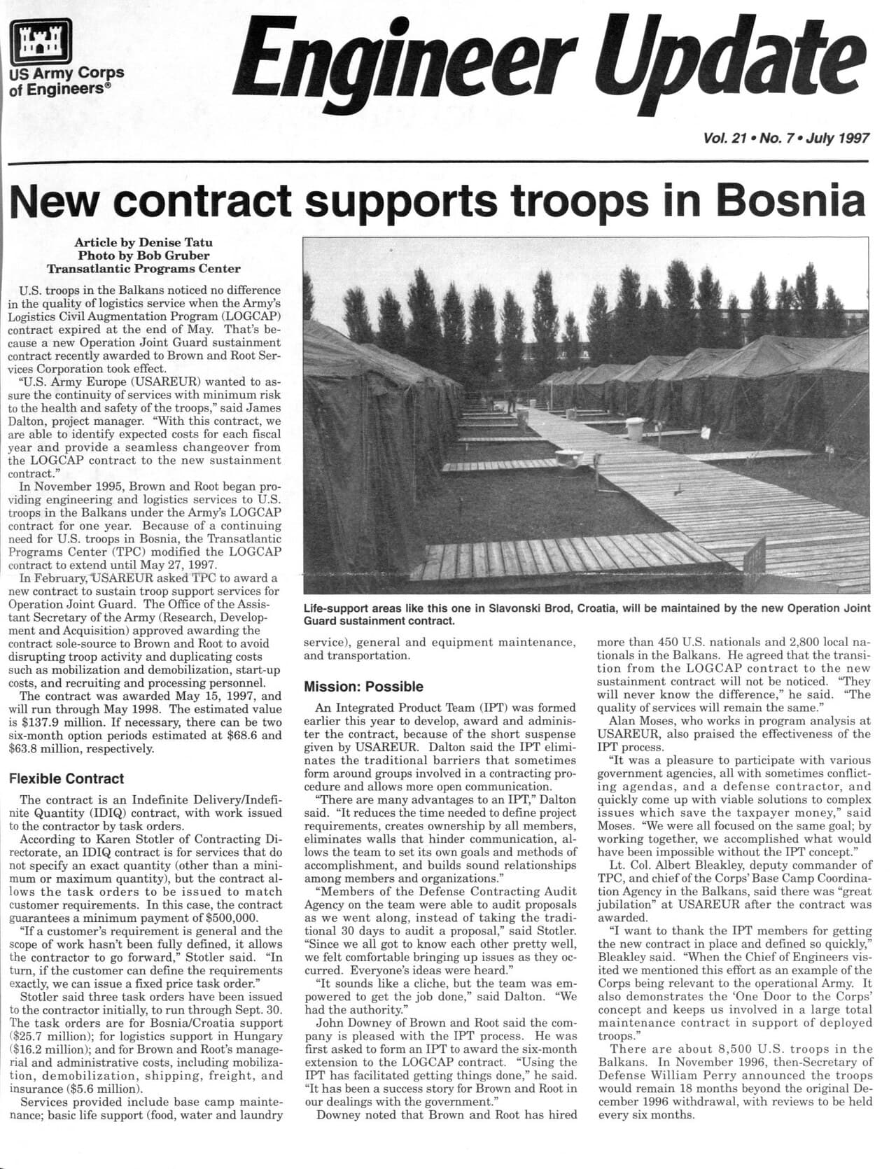
Dolly Sods Wilderness
United States. Army. Corps of Engineers; United States. Army. Corps of Engineers. Public Affairs Office / wikimedia (Public domain)
Head to the northern plateau edge overlooking Red Creek canyon at sunrise for the most dramatic light and layered ridgeline views.
Rugged, uneven terrain with no accessible facilities—not suitable for anyone with mobility concerns; sturdy boots are essential.
20 min walkA gentle continuation along the plateau's trail network, moving deeper into the meadows as the morning chill burns off.
11:30 AM - 1:00 PM
Dolly Sods Wilderness · midday · 90 min · Dolly Sods High Country

Extend the morning into a relaxed midday stretch—find a quiet spot near the boulder fields or bog margins to rest, eat a packed lunch, and simply take in the scale of the place together. There's a particular romance in sharing silence out here, wind as the only soundtrack, with nothing but grass and sky in every direction.

Dolly Sods Wilderness
United States. Army. Corps of Engineers; United States. Army. Corps of Engineers. Public Affairs Office / wikimedia (Public domain)
Midday light flattens contrast, so save dramatic shots for morning or evening—use this window for close-up detail shots of dwarf bog vegetation instead.
Same rugged terrain as the morning segment; no benches or facilities available.
Optional detour: Dolly Sods WildernessBetween the morning hike and the drive back toward Davis
A slower afternoon loop lets you catch a different vantage point—the wind-carved boulder fields—without adding a new location. Skip if: If legs are tired from the morning's terrain, skip the extra loop and head back early to rest before dinner; the wilderness rewards patience, not exhaustion.
If it rains: If storms threaten on the exposed plateau, retreat immediately—there's no shelter and visibility drops fast in fog. Head to Blackwater Falls State Park or the Canaan Valley Visitor Center as an indoor-adjacent alternative for the rest of the day.

Today shifts into full wilderness mode. An early, quiet drive delivers you to Dolly Sods before most visitors are awake, and the plateau's cold wind, soft moss, and wind-bent trees create a landscape unlike anywhere else in the trip—alpine tundra dropped onto an Appalachian mountaintop. This is the most physically demanding stretch of the itinerary, so pace yourselves and soak in the solitude while it lasts.

As the morning's solitude gives way to midday warmth, settle into a slower rhythm—a packed lunch among the boulder fields, quiet conversation, and unhurried exploration of the bog margins. There's no rush here; the terrain asks for patience rather than mileage.

Begin the winding drive back toward Davis in the early afternoon to leave buffer for road conditions, then unwind with a relaxed dinner in town, muscles pleasantly tired from a day spent somewhere that felt genuinely remote and untouched.

Adventure & Departure

Day 3: Stone Spires and Slow Goodbyes

A lighter final day centered on the dramatic quartzite formations of Seneca Rocks, roughly 2-3 miles of easy-to-moderate walking, timed to allow an unhurried departure.

Wear
Breathable layers for warmer lowland temperatures near Seneca Rocks, sturdy shoes for uneven trail sections, and a light jacket for the cooler early morning.
Budget
$60-90 for the couple (activities are free; budget for lunch and any souvenirs)
45 min driveA scenic 45-minute drive south through the eastern panhandle, ridgelines rolling past as the valley gradually opens into farmland.
8:00 AM - 10:00 AM
Seneca Rocks · morning · 120 min · Seneca Rocks & Eastern Panhandle

Arrive before 9 AM and Seneca Rocks feels hushed—sheer walls of pale quartzite soaring overhead, the air crisp and pine-scented, with maybe a distant clink of carabiners if early climbers are already on the rock. This is the East Coast's most iconic formation, and for a couple, the observation overlook on Route 28 offers an easy, awe-filled start to the day without demanding a strenuous climb. By mid-morning the parking area and trailhead fill in with weekend traffic, so this window is your quiet one.

Seneca Rocks
Famartin / wikimedia (CC BY-SA 4.0)
The observation overlook on WV Route 28's west side captures the classic two-peak profile best in early morning light.
The roadside overlook is manageable for most visitors, but the trail up toward the rock face is uneven and not wheelchair accessible.
Lunch
Front Porch Restaurant $$
Pizza · Near Seneca Rocks
A relaxed, no-fuss spot near the base of the rocks—good for refueling with a shared pizza after a morning of hiking and photos.
Optional detour: Seneca RocksAfter the morning overlook visit and before departure
A short walk toward the North Fork trailhead offers intimate views of the rock face and climbers in action, a nice contrast to the wide overlook shot. Skip if: Skip if you're tight on time before a long drive home or flight—the overlook alone captures the formation's scale well.
If it rains: If rain moves in, avoid the trail—wet quartzite is genuinely dangerous underfoot. Stick to the roadside overlook and the visitor center's interpretive exhibits, which still deliver the view and context without the risk.

The final morning is intentionally lighter—Seneca Rocks delivers a big visual payoff without a big physical demand. Arriving early means quiet roads, soft light on the pale stone spires, and maybe the distant sound of climbers just starting their ascent, a fitting last taste of the region's wild, vertical drama.

After a relaxed lunch near the base—shared pizza at Front Porch Restaurant is an easy, unfussy way to close out the trip—there's time for one last look at the rocks or a slow wander before starting the drive back toward the airport or home, mountains receding gradually in the rearview.

With travel typically consuming the evening hours, keep plans loose—if there's time before departure, a final quiet moment at the roadside overlook makes for a fitting goodbye to the ridgelines that have framed the entire trip.

Want to tweak this trip?

Our AI planner can customize this itinerary to your exact dates, interests, and travel style.

Customize This Itinerary
Good to Know

Restaurant details (hours, menus, availability) change frequently, especially in seasonal mountain towns. Check current hours before visiting.

Dietary compatibility tags are general guidance. If you have severe allergies, confirm directly with the restaurant.

Travel tips are general guidance, not professional safety advice. Check government advisories and current trail conditions before heading into backcountry areas like Dolly Sods.

All prices are approximate and may vary seasonally.
We use cookies to improve your experience and analyze site usage. Essential cookies are always active. You can customize your preferences or accept all cookies. Cookie Policy