3 DaysSolo Traveler6 Stops

Canaan Valley (Davis, Thomas), West Virginia

3-Day Itinerary for Solo Traveler

Frost, Wind, and Falling Water: Three Winter Days in Canaan Valley

Frost, Wind, and Falling Water: Three Winter Days in Canaan Valley

Winter strips Canaan Valley down to its bones — ice-rimmed waterfalls, wind-scoured plateaus, and a silence so complete you can hear your own breath crystallize. This is a trip for travelers who want the mountains without the crowds, and who don't mind bundling up to earn the view.

At a Glance

Climate & Weather
Expect brutal cold: January/February averages run 34–41°F, with the high plateau 10–15°F colder and wetter than the valley floor. Snow and ice are common and can arrive suddenly. Pack insulated waterproof boots, thermal base layers, a windproof outer shell, wool hat, gloves, and microspikes if you have them — trails and overlooks ice over fast.
Getting Around
A personal vehicle is essential — there is no public transit, and most trailheads and overlooks require driving between clusters. Roads within Blackwater Falls State Park and toward Davis are generally maintained, but the gravel forest roads toward Dolly Sods and Seneca Rocks can be rough, unplowed, or seasonally gated in deep winter; check conditions before heading out.
Budget
Budget roughly $60–90/day for a solo traveler — hearty diner and lodge meals run $10–25 per plate, state park entry is free, and gear rental or a guided add-on (if available) may add $20–40.
Safety
Solo travelers should tell someone (a lodge desk, a friend) their daily hiking plan and expected return time — cell service is unreliable in the backcountry. Mountain roads get treacherous with snow and ice; drive slowly, keep a full tank, and carry an emergency kit. Black bears den up in winter but copperheads and rocky, icy terrain remain a footing hazard year-round — watch your step near overlooks. Days are short (sunset around 5:15–5:30 PM), so plan hikes to end well before dark.
Connectivity
Cell coverage is spotty to nonexistent in the valley's interior, Dolly Sods, and most trailheads — download offline maps before you go. Lodges and towns (Davis, Thomas) typically have WiFi and passable signal.
Local Tips
Arrive at overlooks by 7:30–8 AM for empty platforms and the softest light — locals rise early and the tourist trickle doesn't start until mid-morning. Most restaurants and shops close by 8 PM and many close entirely in the off-season, so plan dinner before 7 PM. Locals are reserved but will warm up if you ask genuine questions about trail conditions or weather — bar seating at lodge restaurants is your best bet for conversation as a solo diner.

Highlights

  • Sunrise at a nearly-frozen Blackwater Falls with almost no one else around
  • Standing alone at Lindy Point as fog lifts off the gorge
  • A wind-battered walk across the alpine tundra of Dolly Sods
  • The twin quartzite spires of Seneca Rocks catching last light
  • Hearty Appalachian comfort food after long cold days outside
  • Early starts rewarded with empty overlooks and low winter light

Day-by-Day Plan

Arrival & Orientation

Day 1: Settling Into the Cold

A gentle first day easing into the valley's rhythm with a short, iconic waterfall hike and a nearby overlook, totaling under 2 miles of walking.

Wear
Insulated waterproof boots, thermal base layers, windproof jacket, wool hat, gloves, and microspikes for icy trail sections.
Budget
$50-70 (park entry free, meals ~$40-50, incidentals)
8:00 AM - 10:30 AM
Blackwater Falls SP · morning · 150 min · Blackwater Falls & Valley Core

In winter the falls half-freeze into curtains of ice while the center channel keeps roaring — a strange, beautiful collision of motion and stillness. Arrive by 8 AM and the main overlook is yours alone, mist rising gold as the sun clears the gorge rim. Wear microspikes if you have them; the platform steps ice over quickly and the cold makes the 65-foot drop feel even more primal.

Blackwater Falls SP
Millspaugh, Charles Frederick, 1854-1923 Nuttall, Lawrence William, 1857-1933 / wikimedia (Public domain)
Shoot the main overlook right at sunrise (roughly 7:45-8:15 AM in winter) when low light turns the mist amber against the dark hemlock gorge.
Trail to the main overlook involves stairs and uneven, often icy footing — not wheelchair accessible; benches are sparse, so pace yourself in the cold.
15 min driveA quiet, winding park road past bare hardwoods — watch for icy patches in shaded curves.
11:00 AM - 11:45 AM
Lindy Point · midday · 45 min · Blackwater Falls & Valley Core

A short, moderate walk delivers you to one of West Virginia's finest views — layered ridgelines fading into purple-gray haze, the Blackwater River a faint murmur far below. Winter strips away foliage, so the sightlines stretch even farther than in fall; just know that fog or heavy cloud can erase the whole view, so check conditions before the short drive over.

Lindy Point
Photo by - Ryan on Pexels
Best light is mid-morning to early afternoon when the sun is high enough to separate the ridgelines; avoid midday flat light if clouds are heavy.
Short but uneven trail with some rocky footing; not wheelchair accessible, and can be slick with frost.
If it rains: If fog, freezing rain, or heavy snow moves in, skip Lindy Point (the view disappears entirely in poor visibility) and instead spend extra time at Blackwater Falls' lower canyon overlooks, which stay dramatic in any weather — just move cautiously on icy steps.

The day begins slow and cold, with the valley still hushed under a blue winter light. At Blackwater Falls, the roar of half-frozen water fills the gorge, and the empty overlook feels like a private audience with the mountain — a fitting, low-key way to arrive and let the body adjust to elevation and cold before anything more strenuous.

A short drive brings you to Lindy Point, where the effort is minimal but the payoff — endless ridgelines dissolving into haze — is outsized. This is a good afternoon to move slowly, layer up against the wind that whips across the open overlook, and simply let the scale of the place sink in before retreating to warmth.

With early sunset and the valley's services closing by 8 PM, plan to be settled indoors well before dark. Options for dinner near the park are limited this time of year, so it's worth checking with your lodge ahead or bringing supplies — treat tonight as a quiet reset, mapping out tomorrow's more demanding day at Dolly Sods.

Alpine Wilderness

Day 2: Wind on the High Plateau

A full-day, higher-effort outing into the exposed alpine terrain of Dolly Sods, covering roughly 4-5 miles on rugged, wind-scoured trail.

Wear
Full winter layering system — moisture-wicking base, insulating mid-layer, windproof/waterproof shell, insulated waterproof boots, gaiters if trail is snowy, warm hat, and gloves; wind chill here runs far colder than the valley floor.
Budget
$40-60 (no entry fee, pack your own food, minimal gear rental if needed)
8:30 AM - 12:30 PM
Dolly Sods Wilderness · morning · 240 min · Dolly Sods High Country

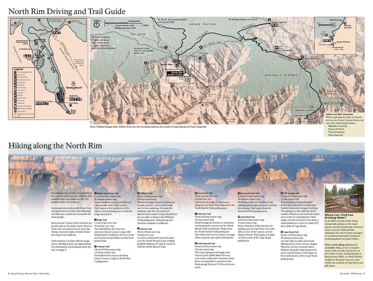
This is the valley's wildest face — a windswept alpine plateau where stunted, wind-bent trees and sphagnum bogs mimic landscapes far north of here. In winter the wind cuts hard and constant, so an early, well-layered start matters more than usual; arriving by 8:30 AM means solitude on the ridge and the chance to hear nothing but gusts moving through grass. This terrain is remote and unmarked in places — solo hikers should carry a map, tell someone their route, and turn back if weather closes in.

Dolly Sods Wilderness
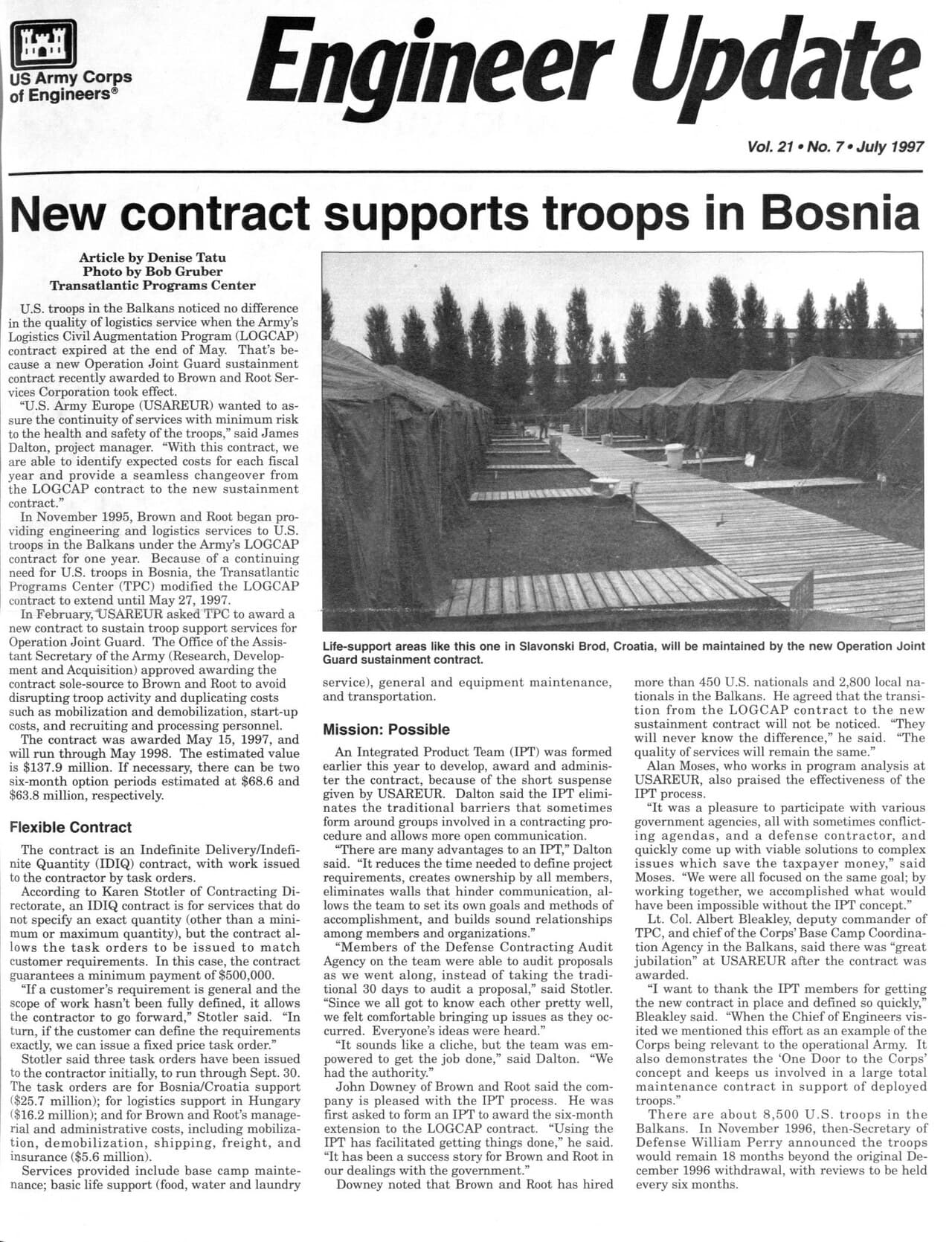
United States. Army. Corps of Engineers; United States. Army. Corps of Engineers. Public Affairs Office / wikimedia (Public domain)
The northern plateau edge over Red Creek canyon is best in the first hour or two of light, when low sun rakes across the grasses and boulder fields.
Rugged, unmaintained terrain with no accessible facilities — not suitable for mobility-limited visitors; solo hikers should be experienced with backcountry navigation.
20 min walkA quiet traverse along the ridge, wind picking up as you cross open ground toward the boulder fields.
12:30 PM - 2:00 PM
Dolly Sods Wilderness · afternoon · 90 min · Dolly Sods High Country

Rather than rush off, use the early afternoon to explore a second stretch of the plateau — the boulder fields and bog margins look entirely different in shifting winter light, and the extra hours reward patient photographers and solitude-seekers alike. Keep an eye on the sky; conditions here can shift from clear to whiteout with little warning.

Dolly Sods Wilderness
United States. Army. Corps of Engineers; United States. Army. Corps of Engineers. Public Affairs Office / wikimedia (Public domain)
Midday light flattens color here, so favor black-and-white or texture shots of the wind-carved boulders and dwarf vegetation.
Same rugged, exposed terrain as the morning segment — pace yourself against the cold and wind.
Optional detour: Blackwater Falls SPAfter Dolly Sods Wilderness and before evening rest
If daylight and energy allow, a quick return stop at the falls offers a warm, familiar bookend and a chance for late-afternoon photos with different light than day one. Skip if: After a demanding day in exposed wind, most solo travelers will want to head straight back to warmth and rest rather than add another stop.
If it rains: If storms, heavy fog, or whiteout conditions threaten on the plateau, retreat immediately to Blackwater Falls State Park or the Canaan Valley area — the exposed terrain at Dolly Sods offers no shelter and visibility can vanish fast.

The day opens with cold wind and open sky — Dolly Sods feels like nowhere else in the valley, a scrap of tundra dropped onto an Appalachian mountaintop. Moving across the plateau solo, with only wind and the crunch of frozen sphagnum for company, is the kind of solitude this trip is built around; just move with care, as the terrain is unmarked and wildly exposed to weather.

Rather than a hard pivot, the afternoon extends the morning's mood — more boulder fields, more wind, more sky — before the cold and fading light start to press toward a return. This is a day to listen to your body; if the wind turns brutal or clouds drop low, cut the loop short and head for the car.

By the time you're off the plateau, you'll want warmth, food, and rest more than anything else. With dining options near Dolly Sods essentially nonexistent, plan to eat back in Davis or at your lodge — treat this as a well-earned, quiet evening after the trip's most physically demanding day.

Rock & Ridge

Day 3: Stone Spires and Slow Goodbyes

A moderate final day centered on the dramatic quartzite formation of Seneca Rocks, with light walking (under 3 miles) and time for a relaxed departure.

Wear
Warm layers with a windproof shell, sturdy boots with good grip (rock and trail can be icy), gloves, and a hat — conditions here can be a few degrees warmer than the high plateau but still bitterly cold in shade.
Budget
$40-60 (free scenic overlooks, one sit-down meal ~$15-25)
45 min driveA scenic descent out of the high country onto WV Route 28, mountains giving way to a narrower river valley — a good radio-off drive to just watch the landscape change.
8:30 AM - 10:30 AM
Seneca Rocks · morning · 120 min · Seneca Rocks & Eastern Panhandle

The twin quartzite spires rise straight out of the forest like something out of a fantasy map, pale gray stone dwarfing everything around it. Arrive before 9 AM and you'll likely have the roadside overlook to yourself — in winter, climbers are scarce, so the usual clink of carabiners gives way to just wind and birdcall. Skip any rock scrambling if ice is present; the overlook and lower trail views are dramatic enough on their own.

Seneca Rocks
Famartin / wikimedia (CC BY-SA 4.0)
The observation overlook on WV Route 28's west side gives the classic two-peak profile; morning light is soft and even, avoiding the harsh shadows of midday.
Overlook viewing is roadside and relatively easy, but any trail beyond it involves uneven, steep terrain unsuitable for limited mobility, especially icy in winter.
10 min walkA short walk along the base trail, gravel crunching underfoot, the rock face growing taller with every step.
10:45 AM - 12:00 PM
Seneca Rocks · midday · 75 min · Seneca Rocks & Eastern Panhandle

A short walk toward the trailhead area lets you look straight up the rock face from the forest floor — a humbling scale shift from the distant overlook shot. Solo travelers often find this a good spot to strike up conversation with any climbers or fellow hikers braving the cold, since winter visitors here tend to be serious, chatty outdoors people.

Seneca Rocks
Famartin / wikimedia (CC BY-SA 4.0)
The trailhead area looking straight up the rock face works best at midday when light fully illuminates the stone.
Trail underfoot is uneven and can be icy; sturdy footwear recommended.
Lunch
Front Porch Restaurant $
Pizza · Near Seneca Rocks
A casual, warm spot near the rocks for a hearty pizza lunch — good bar seating for solo diners and a solid chance to chat with locals or climbers about trail and weather conditions.
If it rains: If rain or ice makes the trailhead area unsafe, stick to the roadside overlook on WV Route 28 and the visitor center for interpretation — the classic view of the spires remains dramatic even in misty conditions, though climbing or scrambling should be avoided entirely.

The final day trades wetland and wind for stone and sky — Seneca Rocks announces itself long before you arrive, jagged and pale against the winter forest. An early arrival means the overlook is quiet, the light gentle, and the whole scene feels like a fitting closing image for a trip built on solitude and raw landscape.

After the overlook, a short walk to the trailhead area shifts the perspective entirely — looking straight up at the rock face rather than across at it. This is an easy, low-effort close to the trip's outdoor itinerary, with lunch at a nearby local spot offering both warmth and a chance for conversation before heading home.

With the drive back to Pittsburgh, Charleston, or DC ahead, keep the evening simple — grab any needed supplies in Davis or Thomas before shops close, and use the last hours to reflect on three days of ice, wind, and stone before returning to lower, warmer ground.

Want to tweak this trip?

Our AI planner can customize this itinerary to your exact dates, interests, and travel style.

Customize This Itinerary
Good to Know

Restaurant details (hours, menus, availability) change frequently, especially in this seasonal mountain destination. Check current hours before visiting, particularly in winter when many spots reduce hours or close entirely.

Dietary compatibility tags are general guidance. If you have severe allergies, confirm directly with the restaurant before ordering.

Travel tips are general guidance, not professional safety advice. Check current road conditions, weather advisories, and park alerts before heading into remote areas like Dolly Sods in winter.

All prices are approximate and may vary seasonally.
We use cookies to improve your experience and analyze site usage. Essential cookies are always active. You can customize your preferences or accept all cookies. Cookie Policy