Wind River Range (East side), Wyoming
3-Day Itinerary for Couples
“Granite, Glacier Water & Vanishing Rivers: 3 Days in the Wind River Range”
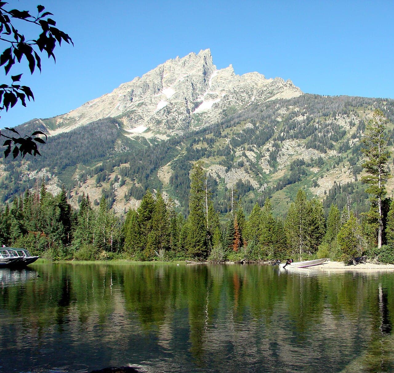
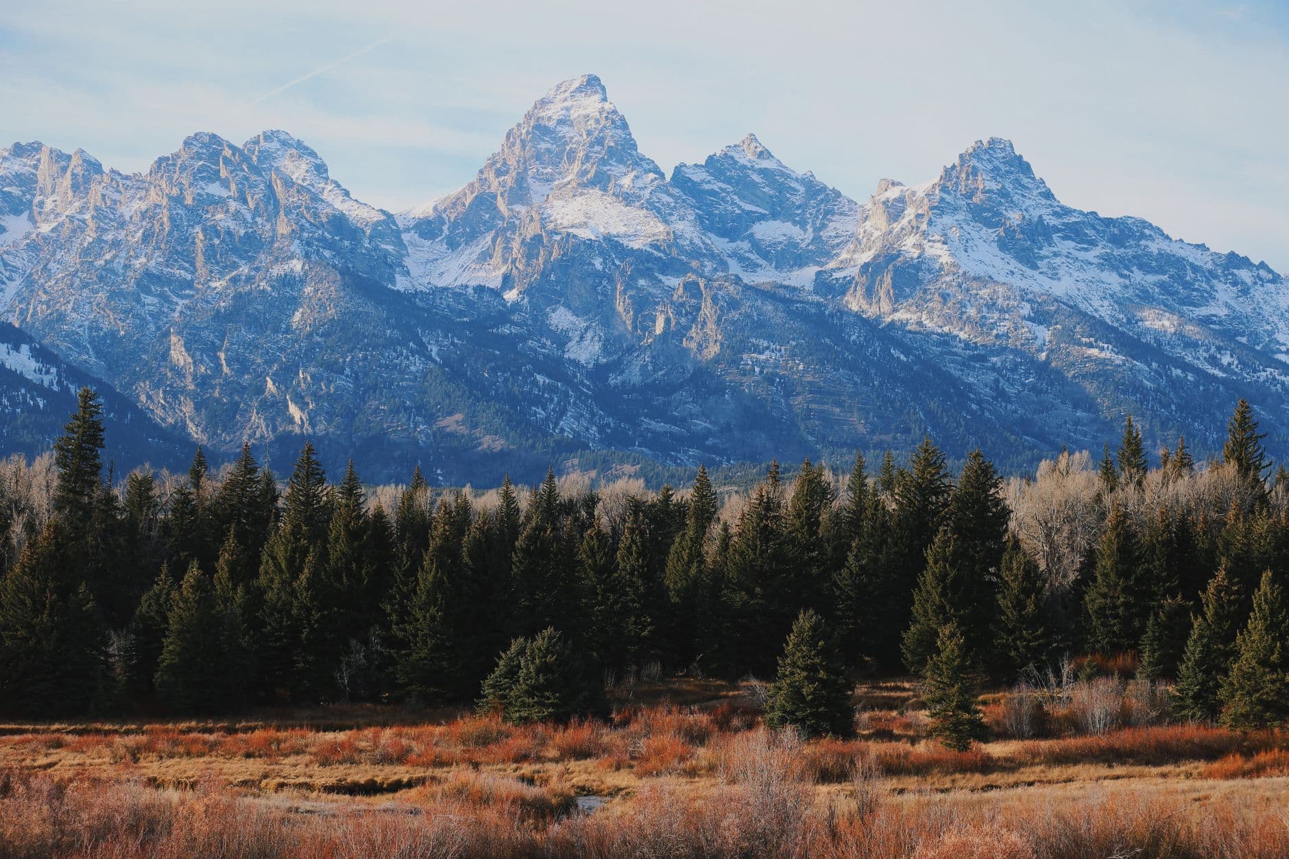
Here, granite peaks stand shoulder to shoulder with the sky, and turquoise water so cold it aches pours off glaciers that have never fully melted. This is a landscape built for quiet conversations at dawn and long silences at sunset — the kind of wild that makes two people lean into each other and say less.
At a Glance
Highlights
- Sunrise at Lower Green River Lake with Squaretop Mountain mirrored in still water
- The hush of standing where the Popo Agie River simply disappears into limestone
- Mist and thunder at Popo Agie Falls, framed by lodgepole pine
- A slow, high-country drive with pullovers built for two
- Wildflower meadows and thin alpine air above 8,000 feet
- Early starts that earn you empty overlooks before the day-trippers arrive
- An unhurried, low-pressure pace built around long views and short walks
Day-by-Day Plan
Day 1: Arrival & the Long Drive Toward Glacier Water
A gentle first day built around the long, scenic drive to Green River Lakes and a slow late-afternoon lakeside walk, covering roughly 2 miles on easy terrain.
After the long approach drive, the lake basin opens up all at once — turquoise water so clear it barely seems real, Squaretop Mountain rising like a held breath at the far shore. Walk the easy shoreline path along Lower Green River Lake, let the wind-through-granite hush settle the travel day out of your shoulders, and watch the light shift gold as afternoon eases toward evening. This late-day arrival means you'll miss the midday crowds and catch the lake at its most contemplative.

Today is about the journey itself — expect a long, scenic drive in from Pinedale (or further afield) toward Green River Lakes, with high-clearance recommended once you leave pavement. There's no rush; let the drive be the first taste of the range's scale, with peaks appearing and vanishing behind ridgelines as the road climbs.
Arrive at Green River Lakes by mid-to-late afternoon and take the easy shoreline walk along the lower lake. The basin feels enormous and hushed at once — glacial melt roaring faintly somewhere upstream, wildflowers scattered through the meadow grass, and Squaretop Mountain standing sentinel over the water. This is a light, unhurried introduction to the range, perfect for settling travel-weary bodies into vacation mode.
With no dining options mapped this far into the backcountry, plan on a packed picnic dinner at the lake's edge or a simple meal back in town if you're staying in Pinedale — either way, let the evening be quiet. Watch the peaks go from gold to violet as the temperature drops, then settle in early; tomorrow starts before dawn.
Day 2: Full Day Among Granite and Glacier
A full day dedicated entirely to the Green River Lakes basin with an early start for the best light and quietest trails, covering up to 4 miles of moderate hiking.
Arrive before 7am and the basin belongs to you — no boot-traffic yet on the shoreline trail, just the sound of wind moving through granite and the occasional distant crack of glacial melt. Walk the trail between Lower and Upper Green River Lake as morning light climbs the peaks; the water holds an almost unreal turquoise clarity that photographs are always trying and failing to capture. By 9am the trailhead parking fills and the quiet start to fray, so this early window is the whole point.
Set an alarm for well before dawn — the reward is a basin with almost no one else in it. Walk the trail connecting Lower and Upper Green River Lake as the light climbs the surrounding peaks, wildflowers still dewy underfoot and the air sharp and thin. This is the kind of morning that couples remember for years: no phones ringing, no crowds, just granite, water, and each other.
By midday, ease back toward the lower lake and find a quiet spot for a packed lunch with a view — the basin gets busier as the day warms, and afternoon thunderstorms are a near-daily occurrence, so treat any distant rumble as your signal to wrap up outdoor time and start heading toward shelter or the car.
With dining options unmapped this deep into the wilderness, a packed dinner near camp or a return to town for a simple hearty meal both work well — either way, let the evening slow all the way down. Watch alpenglow settle over the peaks one more time before the range disappears into full dark and an enormous field of stars.
Day 3: Where the River Disappears
A half-day exploring Sinks Canyon's strange vanishing river and the thundering Popo Agie Falls, with an easy afternoon and total walking under 2 miles.
Arrive by 8am and you'll likely have the main viewing platform to yourselves, watching the Popo Agie River vanish into a limestone sinkhole with a strange, mesmerizing finality — impossibly blue water disappearing into shadow, the roar echoing off rust-and-cream canyon walls. By mid-morning the platform fills with day visitors, so this early window is worth the wake-up call. Walk the short riverside trail together to where the water actually enters the portal — it's a quiet, almost eerie kind of beautiful, well suited to slow conversation.
A short drive deeper into the canyon brings you to the trailhead for Popo Agie Falls, where the trail — rougher underfoot but manageable — delivers you to a wild cascade of glacial snowmelt exploding against dark granite. Stand close enough to feel the cold mist on your face and the ground-level roar of the water; it's the kind of shared, sensory moment that suits couples looking for a little adrenaline without real difficulty. Weekday mornings here are notably quieter than weekend afternoons.
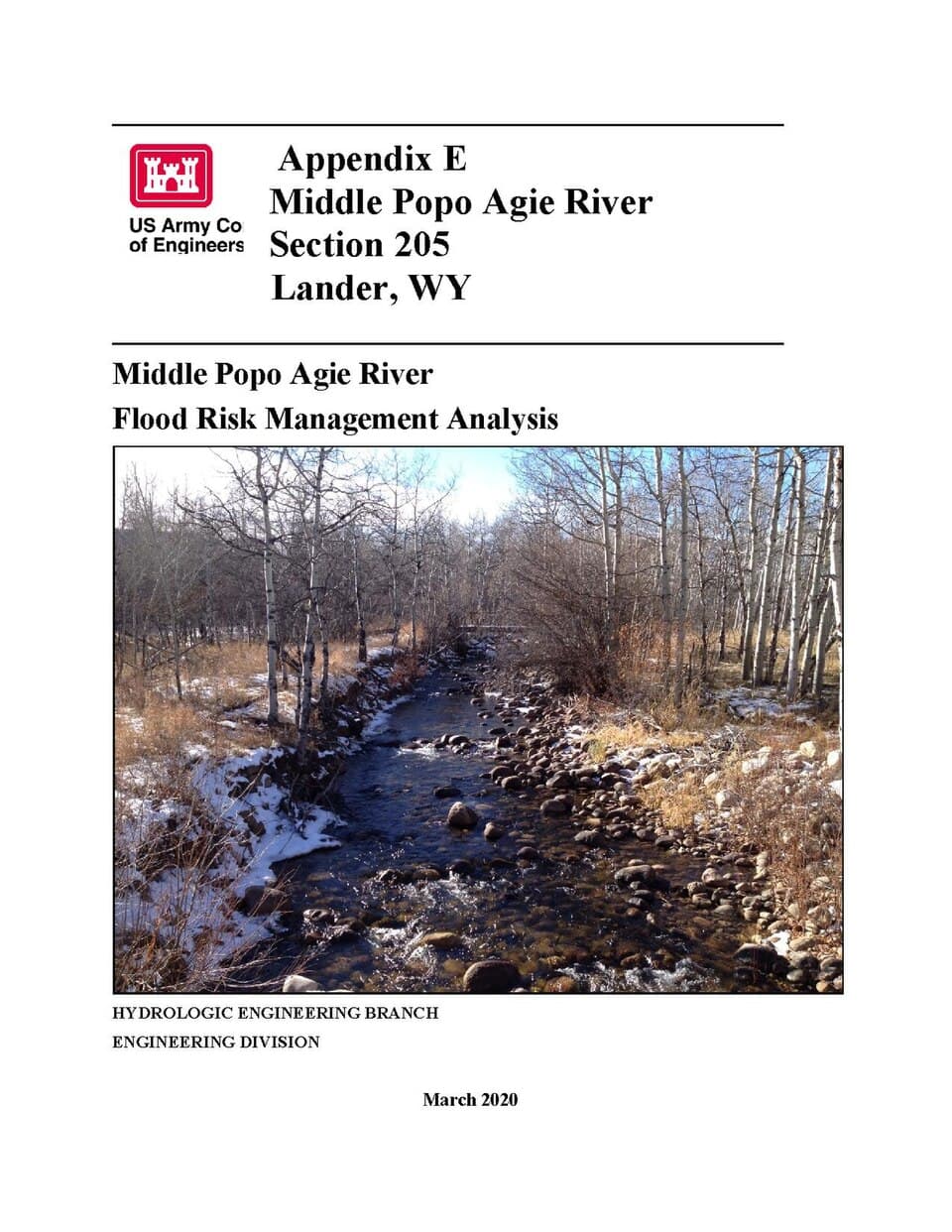
Start early at Sinks Canyon State Park to catch the sinkhole viewing platform before the day's visitors arrive — there's something genuinely strange and moving about watching a full river simply disappear into the earth, the canyon walls glowing rust and cream around the shadowed portal. Walk the short riverside trail together, unhurried, letting the roar of water set the pace.
A quick drive deeper into the canyon brings the trail to Popo Agie Falls, a louder, wilder counterpoint to the sinkhole's quiet mystery — cold mist, exploding whitewater, granite underfoot. This is the day's more physical stretch but still well within an easy pace; by early afternoon, storms are likely building, so plan to be back at the car and heading toward town before the sky turns.
With no specific dining data mapped for this cluster, plan your evening meal around town in Lander or Pinedale rather than the trailhead — both offer the hearty, unpretentious fare the region is known for. Consider this final evening a chance for a quieter, closing dinner together, reflecting on three days spent among granite peaks and vanishing rivers before the drive home.
Want to tweak this trip?
Our AI planner can customize this itinerary to your exact dates, interests, and travel style.
Customize This ItineraryRestaurant details (hours, menus, availability) change frequently. Check current hours before visiting, especially in seasonal destinations.
Dietary compatibility tags are general guidance. If you have severe allergies, confirm directly with the restaurant.
Travel tips are general guidance, not professional safety advice. Check government advisories for latest information.
All prices are approximate and may vary seasonally.