2 DaysSolo Traveler5 Stops

Cohutta Wilderness, Georgia

2-Day Itinerary for Solo Traveler

Stone Walls & Wild Water: Two Days Alone in the Cohutta

Stone Walls & Wild Water: Two Days Alone in the Cohutta

Fog pools in the hollows here long after sunrise, and the mountains keep their own schedule — one measured in mist, rushing water, and the slow creak of ancient hemlocks. This two-day solo route moves from Fort Mountain's stone-walled ridges into the wilder, wetter heart of the Conasauga corridor, giving you both an easy orientation day and a harder, richer one.

At a Glance

Climate & Weather
Spring in the Cohutta brings mild days (50s–70s°F), cold mornings, and unpredictable rain showers. Wildflowers and rhododendron buds start appearing at lower elevations. Pack waterproof layers, a warm base layer for dawn starts, and broken-in hiking boots — trails turn slick fast.
Getting Around
A rental car is essential — there's no public transit, and trailheads are spread across gravel forest roads. Fill your tank and grab groceries in Chatsworth or Ellijay before heading into the wilderness; there's nothing out here once you're past the gate.
Budget
Budget roughly $50–80/day for a solo traveler — modest diner meals, gas for forest-road driving, and no entrance fees at most of these sites (Fort Mountain SP requires a small parking pass, around $5).
Safety
Solo hikers should tell someone their route and expected return time, especially before Dally Mountain or river crossings. Black bears and rattlesnakes are present but rarely aggressive if you stay alert and make noise on blind corners. River crossings after rain can rise quickly — never attempt a crossing you're unsure about, and carry a paper map since cell service disappears fast.
Connectivity
Cell service is spotty to nonexistent inside the wilderness boundary and disappears almost entirely near Lake Conasauga and Dally Mountain. Download offline maps before you leave town, and let someone know your general plan.
Local Tips
Arrive at trailheads by 7:30–8am to beat both crowds and afternoon thunderstorm risk. Solo travelers often find easy conversation at diner counters and bar seating in Chatsworth — locals are quiet but friendly once you make the first move. Check the Conasauga River level and weather 48 hours out; spring rain can shut down river routes with little warning.

Highlights

  • Sunrise light on Fort Mountain's mysterious stone wall ruins
  • Solo sunset views from the historic observation tower
  • Whitewater thunder along the wild Conasauga River
  • Rhododendron corridors just starting to bud in spring light
  • Morning mist rising off Lake Conasauga's still surface
  • Earned solitude on a rugged ridge-running trail
  • Southern comfort food in a town that closes early and means it

Day-by-Day Plan

Orientation & gentle ascent

Day 1: Stone Walls and First Light — Settling Into the Mountains

An easy-paced day exploring Fort Mountain's ridgeline trails and historic stone ruins, roughly 3-4 miles of moderate walking with plenty of rest and photography time.

Wear
Layered clothing — a light waterproof shell over a fleece, sturdy hiking boots, and a warm hat for the cool morning air at elevation.
Budget
$45-60 (parking pass, lunch, dinner)
7:30 AM - 10:30 AM
Fort Mountain SP · morning · 180 min · Fort Mountain State Park — History meets mountain views

Arrive while the mountain still holds its overnight chill and the parking lot is nearly empty — by 7:30am you'll likely have the ancient stone wall to yourself, its weathered grey curves disappearing into hemlock shadow like something half-remembered. No one fully knows who built this wall or why, and that mystery sits well with an early solo wander. Take the loop slowly; the ground is soft with new spring growth and the forest smells of damp bark and last night's rain.
Fort Mountain SP
Thomas K / pexels (Pexels License)
Photograph the stone wall sections in the low, angled morning light around 8am — the texture of the rock comes alive with long shadows.
Trail surface is uneven and rooted; not wheelchair accessible, but the tower approach has a firmer path.
15 min driveA short loop back through town for lunch, then a quick return drive up the mountain road as afternoon light starts to slant through the trees.
3:30 PM - 5:30 PM
Fort Mountain SP · afternoon · 120 min · Fort Mountain State Park — History meets mountain views

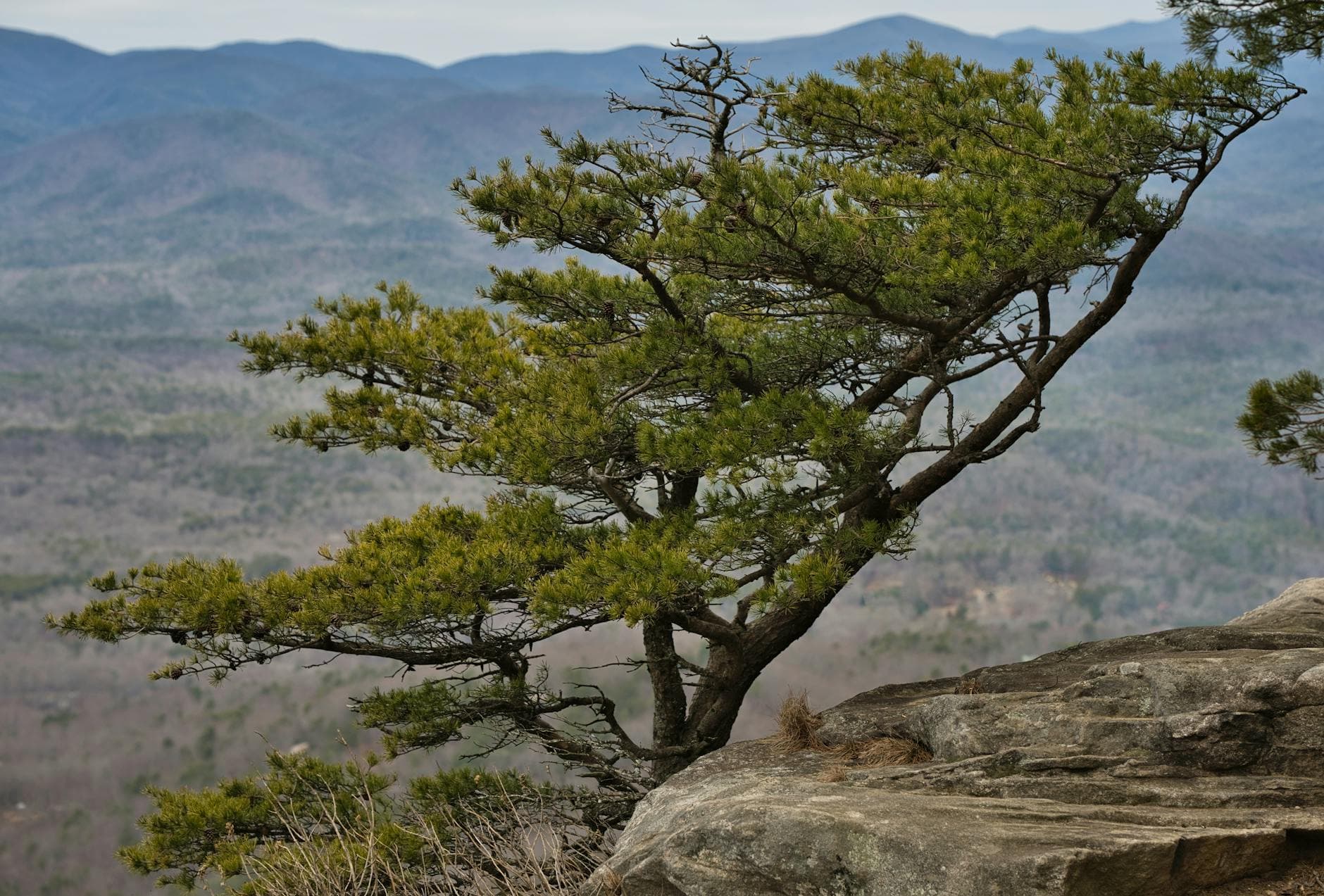
Return to the park in late afternoon for the observation tower — this time the light has shifted, and the valley below fills with a soft gold haze as the sun drops toward the ridgeline. It's a good bench-adjacent spot to sit with a journal or just watch other solo hikers drift up for the same view; benches are sparse, so claim one early if you want to linger.

Fort Mountain SP
Thomas K / pexels (Pexels License)
Come to the tower platform 45 minutes before sunset for the best valley-and-ridge composition — the crowd this time of day is usually just a handful of other quiet visitors.
Tower stairs are the main access; the surrounding perimeter walk is flatter and more forgiving if stairs aren't preferred.
If it rains: If rain moves in, stick to the tower and the maintained perimeter walk near the parking area — the deeper wall-trail sections turn muddy and slippery fast. A quiet, covered picnic shelter near the lot is a decent fallback for waiting out a shower.

The first hours of a solo trip set the tone, and Fort Mountain offers a gentle one — cool air, ancient stone, and a trail quiet enough to hear your own footsteps. Arriving early rewards you with near-total solitude on the wall loop, where curling grey stone threads through oak and hemlock like a secret half-told. Take your time here; there's no rush, and the forest floor after spring rain is soft and fragrant.

After a midday break in town, head back up for a different kind of light. The observation tower in late afternoon transforms the same ridgeline you walked that morning into something more theatrical — long shadows, a golden valley, and the kind of hush that makes strangers nod at each other without needing to talk. It's an easy, low-effort way to close out a settling-in day.

Head back into Chatsworth as the light fades, ready for an early Appalachian dinner — most kitchens here shut their doors by 8 or 9pm, so don't linger too long on the mountain. A counter seat at a local diner is often the easiest way for a solo traveler to strike up conversation; regulars tend to be curious about anyone hiking these trails alone.

Immersion & solitude

Day 2: Into the Wild Water — Conasauga River and Ridge Silence

A more demanding day along the Conasauga River corridor with a moderate hike at Lake Conasauga, covering roughly 5-6 miles at a steady pace with real elevation and river-adjacent terrain.

Wear
Waterproof boots or trail shoes with grip, quick-dry layers, a rain shell (spring showers are common), and a hat — the tree canopy keeps temperatures cool near the water.
Budget
$40-55 (gas for forest roads, packed lunch, dinner in town)
50 min driveA winding, mostly gravel forest-road drive deeper into the wilderness — cell signal fades out somewhere around the halfway point, so download your map beforehand.
7:30 AM - 10:30 AM
Conasauga River · morning · 180 min · Conasauga River Corridor — Wild water and solitude

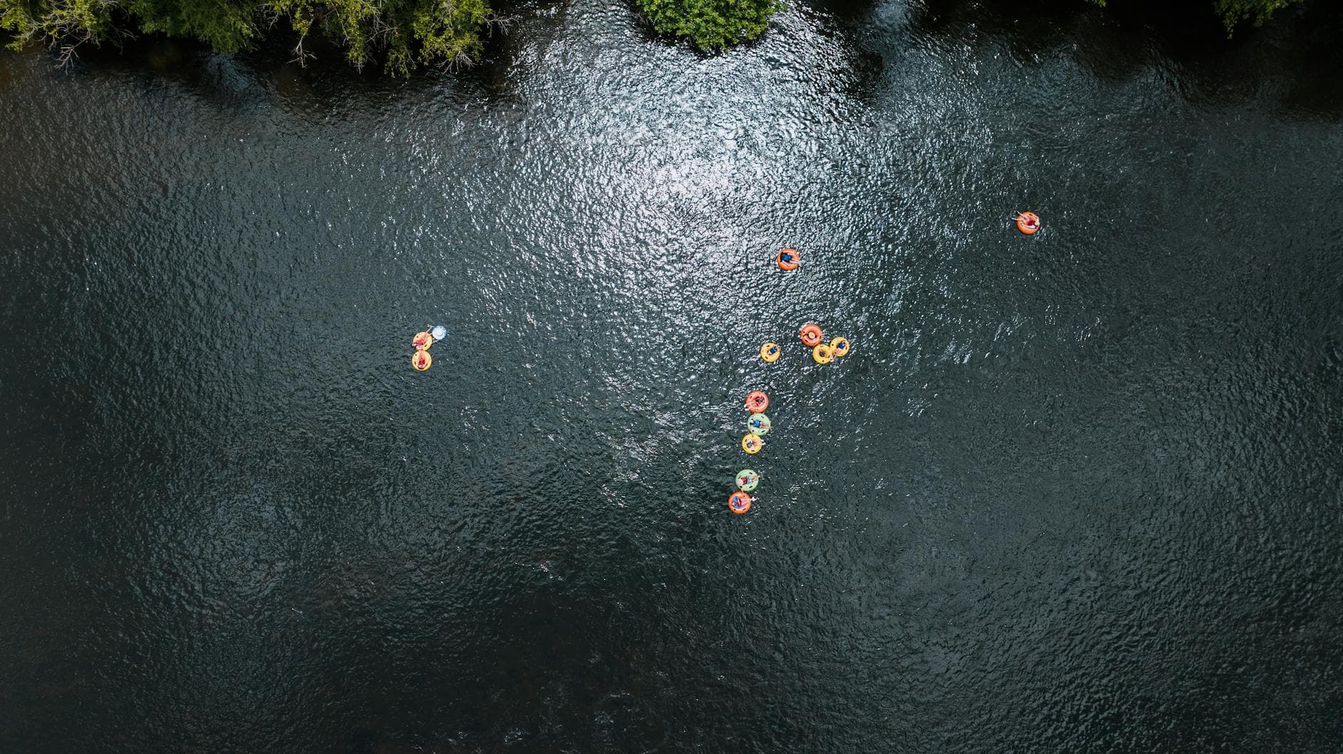
Arrive early — by 7:30am the forest roads are empty and the river has that undisturbed, glassy quality before the day's light fully breaks through the canopy. The Conasauga thunders through narrow gorge sections, mist rising off the boulders, and the smell of wet stone and hemlock fills the air. This is prime solo-hiker territory: quiet, a little wild, and rewarding for anyone willing to move carefully over slick rock.

Conasauga River
Kelly / pexels (Pexels License)
The main cascade overlook rock is best photographed in the soft, diffused light of mid-morning before 10am, when the mist is still visible over the water.
Uneven, slippery rock terrain — not suitable for those with mobility concerns; sturdy footwear is essential.
25 min driveA slow, curving forest-road climb — windows down, the temperature dropping slightly as you gain elevation toward the lake.
11:15 AM - 2:15 PM
Lake Conasauga Recreation Area · midday · 180 min · Conasauga River Corridor — Wild water and solitude

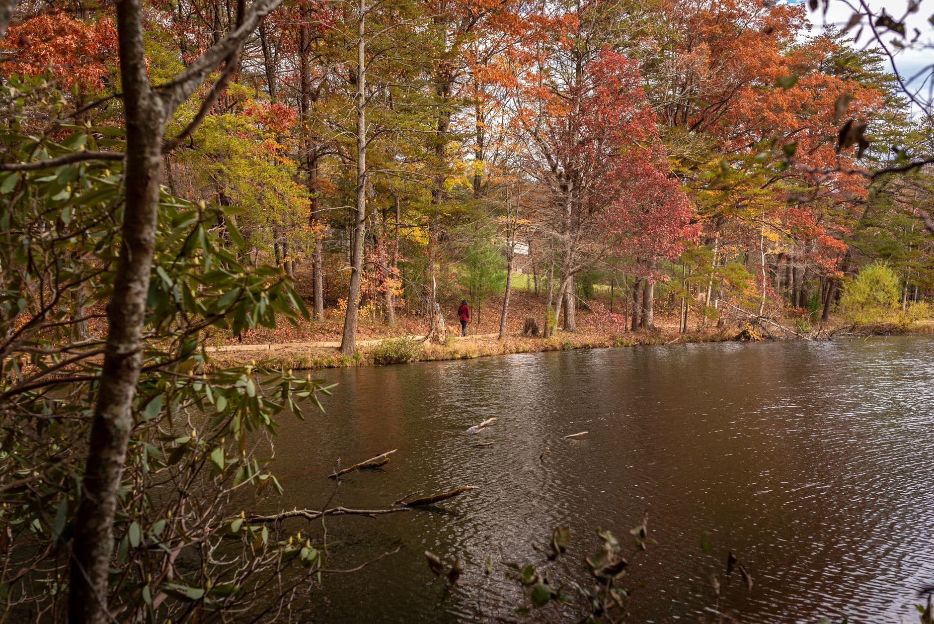
A short drive from the river brings you to Georgia's highest lake — a still, mist-veiled clearing where the silence is almost startling after the river's roar. This is a good midday reset: eat lunch by the shoreline, watch the mist lift, and let the pace slow before the afternoon's more demanding stretch. Rhododendron thickets along the northern shoreline are just beginning to show buds this time of year.
Lake Conasauga Recreation Area
Photo by Dominik Gryzbon on Pexels
The main lake overlook is best at midday for calm water reflections, though dawn technically offers the most dramatic mist — worth a return trip if you have time.
Limited accessible infrastructure; shoreline paths are uneven and unpaved.
35 min driveBack down winding forest roads to a different trailhead — a good stretch to mentally shift gears from lake stillness to waterfall energy.
3:00 PM - 5:30 PM
Jacks River Falls · afternoon · 150 min · Jacks River Falls — Waterfall magic within reach

Close the day with a shorter, high-payoff hike to the falls — the trail is demanding but far more manageable than a full Dally Mountain push, and the cascade itself is worth every trail-worn step. Afternoon light doesn't hit the falls directly, but the cool spray and thundering whitewater against dark rock are dramatic regardless. Expect a few other hikers on the trail, though solitude returns quickly once you're at the base of the falls.
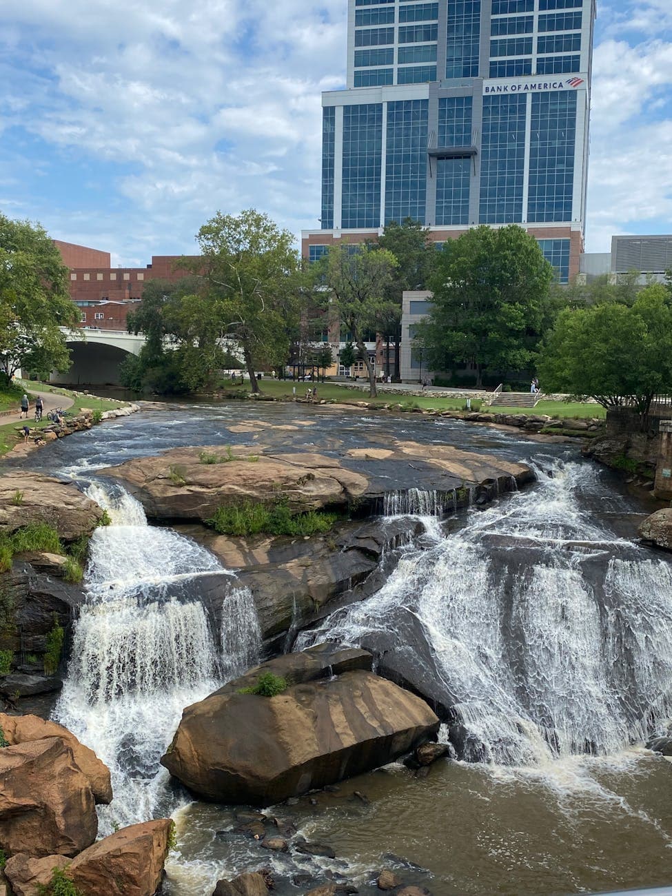
Jacks River Falls
Bernice Chmarouski / pexels (Pexels License)
For the best composition, shoot from the base of the main cascade at a low angle — golden hour (closer to 6-7pm in spring) offers the most dramatic backlight, though that requires a later start than this window allows.
Not recommended for those with mobility limitations — trail includes uneven terrain and no benches.
Optional detour: Dally Mountain TrailAfter Conasauga River and before Lake Conasauga
For a serious solo hiker seeking a full-day ridge-running challenge with sweeping Blue Ridge views, this is the wilderness's most rewarding — and most demanding — trail. Skip if: At 6-8 hours for photography-paced hiking, it doesn't fit within a standard two-day itinerary alongside the river and lake stops; save it for a dedicated day trip.
Optional detour: Panther Creek Falls TrailAfter Lake Conasauga and before Jacks River Falls
A quieter, hemlock-shaded alternative waterfall hike with a swimming hole, ideal if Jacks River Falls feels too crowded on a weekend. Skip if: Visiting both waterfall trails in one day risks repetition and exceeds the day's walking budget — choose one.
If it rains: If heavy rain moves in, skip the Conasauga River and Jacks River Falls entirely — river levels rise fast and trails turn hazardous. Retreat to the covered campground areas at Lake Conasauga, or reschedule the river and falls for a clearer day; light rain at the lake itself only adds to the mood.

The day begins deeper in the wilderness, where the Conasauga River announces itself long before you see it — a low thunder rising through the trees. Arriving early means the gorge is still misted over, boulders slick with dew, and the whole scene feels unclaimed. This is the most physically engaging stretch of the trip, and moving carefully over wet rock is part of the reward.

From the river's roar, the pace shifts entirely at Lake Conasauga — a still, high-elevation lake where silence replaces sound as the dominant sensation. Lunch by the shore offers a natural rest point before the day's final push. By early afternoon, the drive to Jacks River Falls trades lake stillness for waterfall energy, the trail demanding just enough effort to make the payoff at the base of the cascade feel earned.

Head back toward town as the light softens, gear damp and legs tired in the good way. Plan meals ahead — options directly at the trailheads are essentially nonexistent, so a stocked cooler or a stop in Chatsworth or Ellijay on the way back is the smart move. A quiet dinner and an early night suit this rhythm; the wilderness runs on its own clock, and by now, so should you.

Want to tweak this trip?

Our AI planner can customize this itinerary to your exact dates, interests, and travel style.

Customize This Itinerary
Good to Know

Restaurant details (hours, menus, availability) change frequently, and dining options directly at remote trailheads are limited or unmapped — plan meals in nearby towns before heading into the wilderness. Check current hours before visiting.

Dietary compatibility tags are general guidance. If you have severe allergies, confirm directly with any restaurant before ordering.

Travel tips are general guidance, not professional safety advice. Check current weather, river levels, and government advisories before heading into remote wilderness areas, especially solo.

All prices are approximate and may vary seasonally.

We use cookies to improve your experience and analyze site usage. Essential cookies are always active. You can customize your preferences or accept all cookies. Cookie Policy