Cohutta Wilderness, Georgia
3-Day Itinerary for Solo Traveler
“Stone Walls & Wild Water: 3 Days Alone in the Cohutta Wilderness”
Mist clings to 36,000 acres of ridgeline here, and the only sounds most mornings are your own boots on leaf litter and a river somewhere below, still deciding which way to run. This is a solo trip built for someone who wants solitude that feels earned — mountain views, whitewater, and a waterfall you'll remember working for.
At a Glance
Highlights
- Sunset from the stone tower at Fort Mountain
- Standing above the clouds on ancient rock walls of unknown origin
- The Conasauga River thundering through Georgia's wildest gorge
- A strenuous ridge-running loop with Blue Ridge views for miles
- Mist rising off Lake Conasauga at dawn
- The hard-won payoff of Jacks River Falls
- Hemlock-shaded solitude at Panther Creek Falls
Day-by-Day Plan
Day 1: Settling Into the Ridge
A gentle first day at Fort Mountain State Park — roughly 3-4 miles of moderate walking, low cognitive load, easing into the wilderness rhythm.
Arrive by 8am and the ancient stone walls are yours alone — nobody quite knows who built these 855-foot ramparts, and in the early hush, threading through hemlock and oak with mist still hanging low, that mystery feels close enough to touch. The main loop trail is a gentle introduction to Cohutta's terrain: uneven but manageable, with the stone tower waiting at the high point. By 9am the parking lot starts filling — you'll have beaten the crowd.
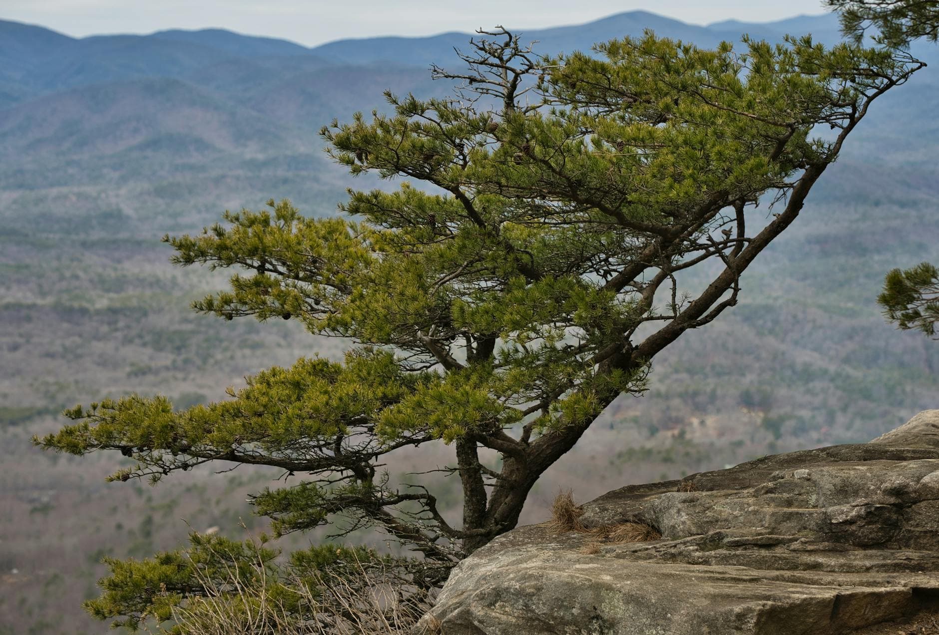
After a slow lunch, return to the park's northwest trail sections for ridge overlooks that stretch toward Tennessee — this is a lighter, more contemplative stretch than the morning walk, ideal for a solo traveler easing into wilderness time. Wildflowers are just starting their spring show along the shaded sections. Save the observation tower itself for last light.
The day begins slow and deliberate — a solo traveler's first morning in Cohutta doesn't need to prove anything. Fort Mountain's stone walls, still unexplained after all this time, give the morning a quiet sense of mystery, and the cool mountain air combined with near-empty trails makes this an easy, unhurried welcome to the wilderness.
After refueling, the pace stays gentle. The northwest ridge trails offer sweeping views without demanding much of tired legs, and the shift from morning shade to afternoon light changes the whole character of the forest — a good reminder that this landscape rewards patience over mileage.
As the sun drops, the observation tower becomes the day's quiet climax — golden light spilling over the valley, other visitors thinning out, and the first real sense that you've left the ordinary world behind. Head back to town for an early dinner; most kitchens here close by 8 or 9pm, so don't dawdle.
Day 2: Into the Wild Water
A full, high-energy day along the Conasauga River Corridor — roughly 5-6 miles combined across two contrasting stops, moderate to high exertion.
Get to the river by 7:30am and the whitewater has the gorge to itself — thundering over moss-covered boulders, throwing cool mist onto your face while the light is still soft and low. This is the most remote, rugged zone in Cohutta, and solo hikers should stick to the main overlook and marked riverside trail rather than attempting scrambles alone. The crystal pools reflecting the ridgeline are worth the early wake-up alone.
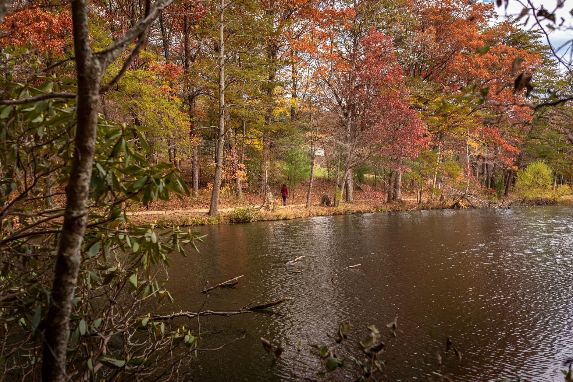
After the intensity of the river, Lake Conasauga offers a gentler, meditative counterpoint — Georgia's highest lake, ringed by pine-scented quiet so complete it can feel almost unsettling after a morning of roaring water. This is prime solo-traveler territory: peaceful, safe, well-trafficked enough on weekends for a friendly nod from fellow hikers without ever feeling crowded. Rhododendron thickets along the northern shoreline are just starting to bud this time of year.
The day starts before the sun fully clears the ridgeline, driving deep into the most rugged corner of the wilderness. The Conasauga River rewards the early start with total solitude and a rawness that's hard to find elsewhere on the East Coast — this is Cohutta at its wildest, and it's worth every minute of the drive.
The energy shifts dramatically after lunch. Lake Conasauga trades whitewater roar for still water and pine-scented silence, a deliberate pacing choice so the day doesn't become one long adrenaline push. It's an easy, restorative few hours that still rewards those willing to walk the shoreline trails.
By the time you're heading back toward town, legs are pleasantly tired and the forest roads are already dimming under the canopy. Dinner should happen early — kitchens in Chatsworth and Ellijay wind down fast, so aim to be seated by 7 or so, and consider a counter or bar seat if you want easy conversation with locals.
Day 3: The Waterfall Payoff
A moderate final day chasing two waterfalls in the Jacks River Falls cluster — roughly 5 miles total, high reward for moderate effort.
Arrive by 8am and you'll likely have the base of the cascade to yourself — by 10am on a nice spring weekend, the trail fills with fellow hikers, which for a solo traveler is actually a welcome bit of company on a remote trail. The thundering whitewater, cool spray, and trail-worn exhaustion by the time you reach the falls make this one of Cohutta's most satisfying payoffs. Take time at the base pool before the crowds arrive.
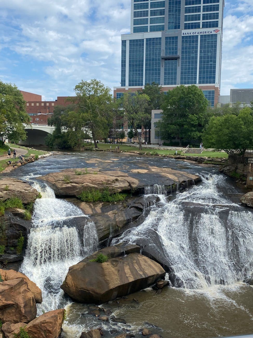
After the intensity of Jacks River, Panther Creek offers a quieter, more contemplative waterfall experience — a hemlock cathedral where the roar of the 30-foot cascade builds gradually rather than announcing itself all at once. This is an easier trail than the morning's, a deliberate pacing shift for tired legs, and the swimming hole at its base is a lovely spot to sit quietly before heading back to civilization.
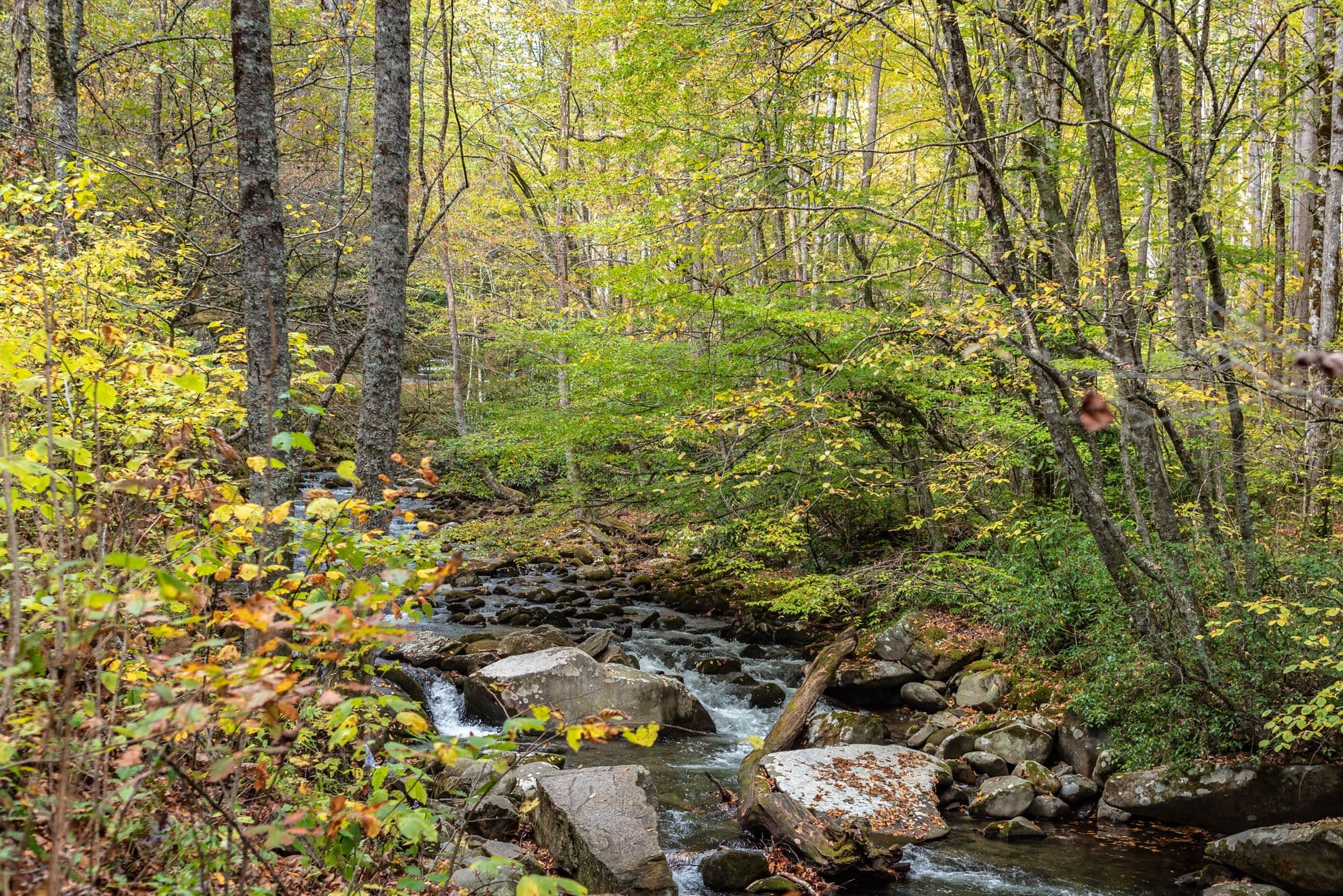
The last full day begins with purpose — an early departure to beat the crowds at Jacks River Falls, where the payoff of thundering whitewater and cool spray feels like a fitting climax to a trip built around earned solitude. The trail's difficulty means you'll arrive tired, spray-soaked, and thoroughly present in a way few easy overlooks manage.
Panther Creek Falls slows the pace deliberately, trading Jacks River's raw power for a softer, mossier kind of beauty. The hemlock-shaded trail and swimming hole make for a gentle wind-down, giving sore legs a break while still delivering a proper waterfall experience.
With the wilderness behind you, plan an early dinner in Chatsworth or Ellijay before those relaxed, early-closing kitchens shut their doors — a good final chance to strike up conversation with locals or fellow travelers at a counter or shared table before heading out or settling in for departure the next morning.
Want to tweak this trip?
Our AI planner can customize this itinerary to your exact dates, interests, and travel style.
Customize This ItineraryRestaurant details (hours, menus, availability) change frequently, and this itinerary intentionally omits invented dining recommendations where no verified options were available near these remote trailheads — plan meals in the gateway towns before heading into the wilderness.
Dietary compatibility tags are general guidance. If you have severe allergies, confirm directly with any restaurant before dining.
Travel tips are general guidance, not professional safety advice. Check current trail conditions, weather forecasts, and government advisories before heading into remote wilderness areas, especially solo.
All prices are approximate and may vary seasonally.