Red River Gorge (Slade area), Kentucky
3-Day Itinerary for Teen Families
“Stone Arches & Ridge Winds: 3 Winter Days in Red River Gorge”

In winter, Red River Gorge strips down to its bones — bare sandstone glowing rust and amber against a low grey sky, the trails empty enough that you'll hear your own boots on frozen leaf litter before you hear another voice. This is the gorge at its most honest, and its most rewarding for families willing to layer up and move at their own pace.
At a Glance
Highlights
- Standing beneath Sky Bridge's 78-foot arch with almost nobody else around
- Golden-hour light hitting Natural Bridge's amber sandstone
- A windswept ridge walk along Auxier Ridge with layered blue-haze views
- Chimney Top Rock's 360-degree winter panorama
- Teen-friendly scrambles and photo ops without the summer crowds
- Cozy apres-hike evenings in Slade's small-town diners and cabins
Day-by-Day Plan
Day 1: Arrival & the Arches at Golden Hour
A lighter arrival day focused on the accessible Natural Bridge & Sky Bridge Loop, roughly 3 miles of walking at a relaxed pace.
The arch appears almost suddenly through bare winter trees — pale sandstone glowing amber even under flat grey light, framing a thousand-foot drop into the gorge below. With low winter crowds, teens can range a little ahead on the safer sections while parents linger at the main viewpoint; the cool air carries none of summer's humidity, just the clean mineral smell of wet stone. Arrive after lunch and you'll catch the arch just as afternoon light starts to slant through the opening.

Morning is for settling in — checking into lodging in the Slade area or near Natural Bridge State Park, unpacking layers, and letting the drive fatigue shake off with a slow cup of coffee. Keep expectations low and the pace easy; this is a day for orientation, not ambition.
By early afternoon, head to Natural Bridge SP while there's still strong daylight. The trail climbs gently through leafless hardwoods, opening suddenly onto the arch itself — a good introduction to the gorge's scale without the full commitment of a ridge hike. Teens tend to perk up here; there's enough scramble-friendly rock to feel like an adventure without real risk.
As light fades fast this time of year, plan to be off the trail by 4:30–5pm. Head back toward Slade or Stanton to settle in for the evening — check ahead for restaurant hours, as many local spots shift to abbreviated winter schedules. A quiet dinner and early night sets up tomorrow's bigger hiking day.
Day 2: Sky Bridge & the Quiet Gorge Light
A moderate hiking day within the Natural Bridge & Sky Bridge Loop cluster, covering roughly 3–4 miles with time for photography and a relaxed pace.
Arrive by 8am and the loop trail to Sky Bridge is nearly silent — just the crunch of frozen leaves and the distant hush of the Middle Fork below. The 78-foot sandstone arch appears through a break in the trees like something out of an old photograph, its underside glowing rust and amber even in winter's flat light. This is the trip's signature photo moment, and by 9:30am the first other visitors start arriving, so the early start pays off in solitude.
Get an early start — ideally on the trail by 8am — to catch Sky Bridge before the day's few other visitors arrive. The hike in is short but textured: packed dirt, exposed roots, the occasional icy patch in shaded spots. The arch itself rewards patience; spend real time here rather than rushing through, since this is likely to be the trip's most photographed stop.
After Sky Bridge, ease into a lighter afternoon. This is a good window for a return visit to Natural Bridge SP if the family wants more time with the arches, or simply a slow lunch and rest back near Slade. Winter daylight is short, so plan any additional trail time to wrap by early-to-mid afternoon.
With early sunset, dinner plans should start forming by late afternoon. Expect a quiet evening in town — check current hours for local spots since winter schedules run shorter, and consider a relaxed night in after two solid days of cold-weather hiking.
Day 3: Ridge Winds & Wide Horizons
The most physically demanding day, exploring the Auxier Ridge & Chimney Top cluster with roughly 4–5 miles of moderate-to-high energy hiking.
The short approach to Chimney Top Rock rewards disproportionately — a weathered sandstone cap opening onto a 360-degree sweep of rust-colored cliffs and winter-bare forest canopy. Winter mornings here are colder and windier than the trailhead suggests, so the early arrival advantage is less about crowds (there are few in winter regardless) and more about catching still, clear light before any midday haze sets in. It's a good warm-up stop before the longer ridge hike ahead.

This is the trip's big physical centerpiece — a windswept ridge trail where the forest suddenly drops away to reveal layered ridgelines fading into blue haze. Butter-gold sandstone outcrops punctuate the path, offering natural rest points and dramatic photo backdrops; teens tend to find genuine autonomy here, scouting ahead to the next overlook while staying within earshot. Budget extra time for breaks — with kids, the with_kids time allocation of 2–3 hours is realistic, and winter's cold adds a reason to keep moving rather than lingering too long in exposed wind.
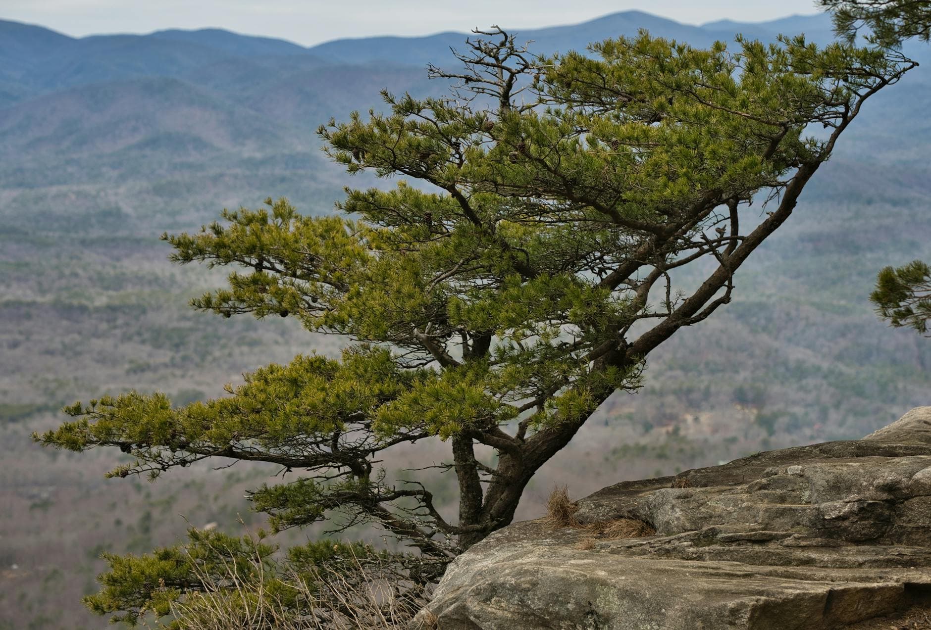
Start early and layer heavily — the morning cold on exposed rock at Chimney Top Rock is sharper than it looks from the car. This short stop is a good gauge of trail conditions before committing to the longer Auxier Ridge hike, and the panoramic view offers an easy win before the harder walking begins.
Auxier Ridge takes up the bulk of the day — plan for a full three hours with breaks, snack stops, and plenty of photo pauses at the ridge's outcrop viewpoints. This is the most physically demanding stretch of the whole trip, but the payoff is real: wide, layered views that make the cold worthwhile. Keep an eye on daylight, since winter afternoons shorten fast once you're back in the car.
With the ridge hike wrapped by early afternoon, the rest of the day opens up for rest, warmth, and food back in Slade or Stanton. This is a good final evening to decompress — sore legs, cold cheeks, and a strong sense of having earned the view. Check local dining hours ahead, since winter schedules in small mountain towns can be unpredictable.
Want to tweak this trip?
Our AI planner can customize this itinerary to your exact dates, interests, and travel style.
Customize This ItineraryRestaurant details (hours, menus, availability) change frequently, especially in winter when small-town establishments often shift schedules — check current hours before visiting.
Dietary compatibility tags are general guidance. If you have severe allergies, confirm directly with the restaurant.
Travel tips are general guidance, not professional safety advice. Trail and road conditions can change rapidly in winter — check current conditions and government advisories before heading out.
All prices are approximate and may vary seasonally.