El Paso area, Texas
5-Day Itinerary for Teen Families
“Desert Peaks & Ancient Stone: 5 Days in El Paso with Teens”
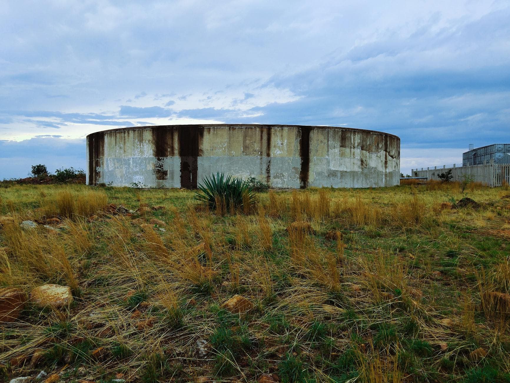
The Franklin Mountains don't ease into El Paso — they erupt straight out of the desert floor, jagged and sunlit, right at the edge of the city grid. This is a trip built for families with teenagers who want real adventure (rock, trail, elevation) balanced against enough breathing room, good food, and a little independence to make the days feel earned, not scheduled.
At a Glance
Highlights
- Sunrise switchbacks in Franklin Mountains State Park with the whole city laid out in haze below
- 800-year-old petroglyphs pressed into sun-warmed boulders at Hueco Tanks
- A scenic canyon drive where red-rock cliffs close in like a geological hallway
- Golden hour at Tom Mays Park with the Franklin Range catching fire
- Low-key trailhead mornings before the heat and crowds arrive
- A full day unplugged in remote high desert, 32 miles from anything
Day-by-Day Plan
Day 1: Landing Softly: First Light on the Franklin Range
A gentle arrival day with one easy-to-moderate hike and a scenic drive, roughly 2 miles of walking total, low-to-moderate energy to let everyone adjust.
Ease into the trip here rather than diving into the steepest terrain on day one — Tom Mays offers a scenic drive punctuated by short, rewarding walks instead of a full summit push. The air still carries the night's chill, creosote and acacia scent sharpening as the sun climbs, and the El Paso skyline spreads out hazy and distant from the main overlook. It's an easy win for jet-lagged legs and restless teens who want to move but aren't ready for a grind.
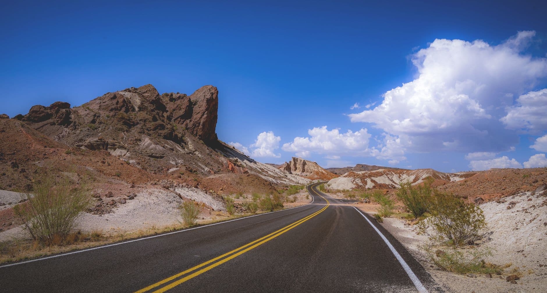
The drive narrows and the cliffs close in — rust-red and tan rock rising close enough to feel, with the occasional lizard skittering across warm stone. This is a low-exertion way to see dramatic geology without another full hike, ideal for a still-adjusting first day; pull over at a couple of the marked overlooks and let teens scramble a short distance off-trail for photos.
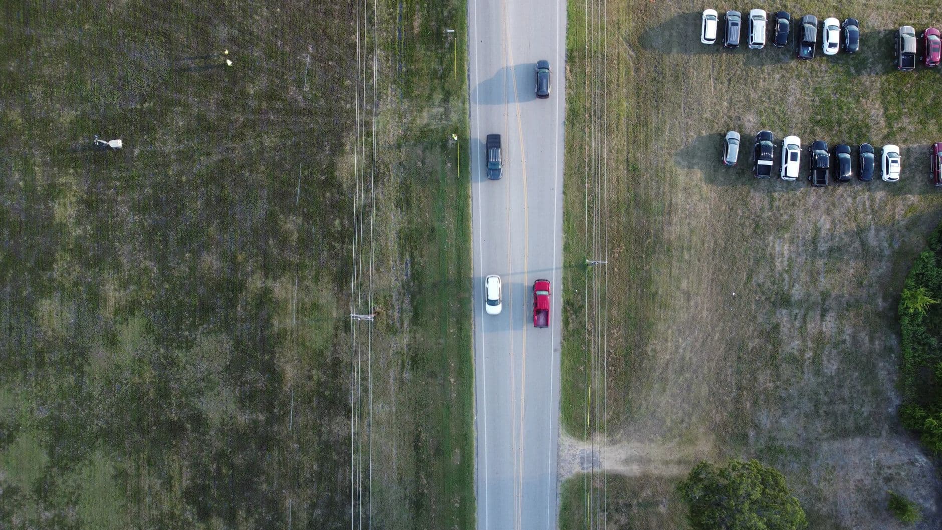
The first morning stays deliberately unhurried. Tom Mays Park eases the group into El Paso's high-desert scale without demanding much from still-adjusting bodies — short walks, big views, and enough quiet to notice the creosote-scented air waking up as the sun climbs higher over the Franklins.
From Tom Mays, the short drive across town to McKelligon Canyon trades open mesa views for a tighter, more dramatic landscape — red cliffs pressing in on both sides of the road. It's a scenic drive more than a hike, which keeps the pace gentle while still delivering a genuine sense of arrival into desert terrain.
With no POI-specific dining data available for this cluster, plan the evening meal around wherever the group is staying — downtown El Paso and Mission Valley both offer plenty of casual, family-friendly options within a short drive. Keep it low-key: an early dinner and an early night sets up tomorrow's more demanding hike.
Day 2: Up Into the Range: Franklin Mountains State Park
The trip's biggest hiking day, centered on Franklin Mountains State Park with roughly 3-4 miles of trail walking at high energy.
Arrive by 7:30am and the switchbacks are nearly empty — just the scrape of boots on rock, the sharp scent of juniper warming in early sun, and the whole sprawl of El Paso fading into morning haze below. By 9am the lot fills and the quiet breaks; this early window is the one to protect. For teens, this is the day's real payoff: scrambling terrain, genuine elevation gain, and summit views that feel earned rather than handed to them.

After the harder climb, this second visit works as an active cool-down — a chance to let teens explore a short loop semi-independently while parents rest at an overlook bench. The shift from scramble to stroll is deliberate: same cluster, lower intensity, so the body gets a break without losing the day's outdoor momentum.
This is the day built around the mountain itself. Early arrival at Franklin Mountains State Park means empty switchbacks, cool air, and a summit view that rewards the climb before the desert heat and weekend crowds arrive — exactly the kind of challenge that tends to win over reluctant teens.
A second, gentler pass through Tom Mays Park lets the group recover without losing the day's rhythm — shorter walks, a bench to rest on, and room for teens to range a little further ahead on their own along a mellow loop.
No specific dining data is mapped to this cluster, so plan the evening meal in town — downtown El Paso or Mission Valley both offer casual, varied options within a short drive of the trailheads. After a demanding hiking day, an early, relaxed dinner and lights-out works best.
Day 3: Into the Quiet: Hueco Tanks and Ancient Stone
A full-day excursion to remote Hueco Tanks State Park, roughly 3 miles of walking at moderate energy, with a strong cultural and historical focus.
The drive out here strips away the city fast, and by the time the boulders rise out of the flat Chihuahuan Desert, it feels like a different world entirely. Arrive early — the petroglyphs at Tank 1 catch the clearest light at sunrise, handprints and animal figures pressed into rust-colored stone 800 years ago, and the whole place holds a stillness that's rare this close to a major city. Teens who roll their eyes at another hike tend to perk up here; this feels less like a trail and more like detective work, reading a landscape for human traces.
Hueco Tanks rewards the long drive with something the Franklin Mountains cluster doesn't offer: deep human history etched directly into the landscape. The petroglyphs, the hidden water tanks, the sheer remoteness — all of it makes for a slower, more contemplative morning than the previous day's summit push, and that contrast is intentional.
With no mapped dining options this far from town and cell service thinning out, pack lunch and snacks for the visit itself, then plan the return drive with enough buffer to find a proper meal back in El Paso before the group's energy dips. Options this remote are limited — bringing food is the simpler call rather than hoping to find something nearby.
By the time the group is back within range of town, a relaxed dinner in a familiar neighborhood feels earned after a day spent somewhere so quiet and remote. No specific restaurant data is tied to this cluster, so let the evening meal be flexible — downtown or Mission Valley both work well for an easy, low-key finish to a history-heavy day.
Day 4: Golden Hour on Red Rock: McKelligon Canyon Revisited
A lighter, photography-focused day returning to the Franklin Mountains cluster with roughly 2 miles of easy walking, lower energy after the previous two demanding days.
After two intense days, this slower morning is a deliberate reset — a scenic drive with short stops rather than another big hike. The canyon walls glow differently than they did earlier in the trip; take the time to actually stop the car at each pullout rather than just passing through, and let teens who are into photography take the lead on composing shots.
Return here for golden hour rather than morning light — fall's shorter days mean sunset comes earlier, and the bend in the drive where the Franklin Range frames the sinking sun is worth timing precisely. It's a fittingly quiet, cinematic close to the trip's outdoor stretch, low-effort enough that tired legs won't mind one more stop.
This day intentionally slows the pace — a scenic drive through McKelligon Canyon with no pressure to hike hard, just time to actually look at the rock formations that got rushed past earlier in the trip.
The afternoon stays light until early evening, when fall's earlier sunset pulls everyone back to Tom Mays Park for the trip's best golden-hour shot — the Franklin Range catching fire as the sun drops, with enough daylight margin built in since days shorten quickly this time of year.
With no specific dining data tied to this cluster, keep dinner simple and nearby — downtown or Mission Valley offer easy, family-friendly choices within a short drive, letting the evening wind down gently after a day built around light rather than exertion.
Day 5: Last Light, Easy Pace: Departure Day
A short, low-key half-day with one easy stop before departure, under 1 mile of walking, minimal energy demand.
A final, easy visit before heading to the airport or hitting the road — no agenda beyond one last look at the mountains that have anchored the whole trip. The morning air is still crisp, the overlook quiet before any crowds arrive, and it's a gentle, low-stakes way to close out the visit without cramming in anything strenuous.
The last morning asks nothing demanding of anyone — just one more quiet look at the Franklin Mountains before the trip wraps up, a short visit that closes the loop on a week spent largely in their shadow.
With travel logistics taking over from here, the afternoon is left open for packing and heading to the airport or road; no further POI stops are scheduled.
No evening activities are planned for departure day — travel takes priority, and the trip's story has already found its natural ending point back where it began, among the Franklin peaks.
Want to tweak this trip?
Our AI planner can customize this itinerary to your exact dates, interests, and travel style.
Customize This ItineraryRestaurant details (hours, menus, availability) change frequently. Check current hours before visiting, especially in seasonal destinations.
Dietary compatibility tags are general guidance. If you have severe allergies, confirm directly with the restaurant.
Travel tips are general guidance, not professional safety advice. Check government advisories for latest information.
All prices are approximate and may vary seasonally.