El Paso area, Texas
4-Day Itinerary for Solo Traveler
“Desert Light & Ancient Stone: 4 Days Solo in El Paso”
The Franklin Mountains don't ease you in — they erupt straight out of the city grid, raw and rust-colored against a sky that stays blue for 300 days a year. Fall strips the heat down to something gentler, and El Paso rewards the solo traveler with wide-open trails, petroglyphs older than memory, and a borderland food culture that treats every meal like a small celebration.
At a Glance
Highlights
- Sunrise switchbacks in Franklin Mountains State Park with the city fading into haze below
- 800-year-old petroglyphs at Hueco Tanks, etched into sun-warmed boulders
- A scenic desert drive through McKelligon Canyon's red-rock corridor
- Cool, crowd-thinned fall hiking weather — rare in a desert city
- Solo-friendly borderland dining where bar seating invites conversation
- A full day of near-solitude 32 miles into the Chihuahuan Desert
Day-by-Day Plan
Day 1: Settling Into the High Desert
A gentle half-day of scenic driving and easy overlooks to adjust to the elevation and the Franklin Mountains' scale, covering under 2 miles on foot.
Ease into the desert with a slow scenic drive rather than a strenuous hike — the perfect low-key welcome after travel. Pull off at the main overlook where El Paso's grid dissolves into mesa and haze, and let the dry, shrub-scented air do the work of resetting your internal clock. This is a place to breathe, not conquer.
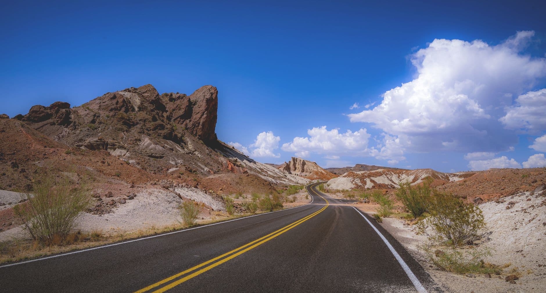
Drive deeper into red-rock walls that close in tight enough to feel the day's heat radiating off stone. As the sun lowers, the canyon's striations light up in rust and gold — an easy, low-effort way to see dramatic terrain without committing to a trail on day one. Solo travelers will appreciate the slow pace and total lack of pressure here.
Day one is intentionally unhurried — give yourself the morning to arrive, settle into your accommodation, and let the high-desert air and elevation change sink in before heading out.
By early afternoon, ease into the trip with scenic driving rather than hiking: Tom Mays Park's overlooks offer sweeping views of El Paso fading into desert haze, a gentle introduction to the Franklin Mountains' scale without demanding much physical effort.
As the light softens, McKelligon Canyon's red-rock walls turn gold and rust — a quiet, contemplative close to a travel day, with plenty of pullouts to stop, breathe, and watch the sun drop behind the ridgeline before heading back for an easy dinner and early rest.
Day 2: Switchbacks and Summit Light
A moderately active day of hiking and photography across Franklin Mountains State Park, covering roughly 4–5 miles on uneven desert terrain.
Arrive by 7:30am and the trailhead is nearly yours alone — just the scrape of boots on rocky switchbacks and the occasional raven call. Climb toward the Tom Mays summit overlook where the entire borderland sprawls beneath you, El Paso and Ciudad Juárez blurring together in morning haze. The crisp fall air makes this a far more forgiving climb than summer's brutal heat, and the solitude is ideal for a solo hiker who wants to move at their own rhythm.

After the climb, downshift into Tom Mays' gentler paths and scenic pullouts — a good midday cooldown that still delivers payoff views without taxing already-tired legs. The shaded arroyos offer a cool contrast to the exposed summit trail, and it's an easy spot to linger with a trail snack and people-watch fellow hikers.
Early rising pays off today: hit the Franklin Mountains SP trailhead by 7:30am for near-total solitude on the switchbacks, the cool desert air carrying the scent of creosote and juniper as the city slowly wakes up below. The climb to the summit overlook rewards with sweeping panoramas of the entire El Paso–Juárez sprawl, a view that feels earned rather than given.
Midday shifts to a gentler pace at Tom Mays Park, where shaded arroyos and easy overlooks offer recovery time without sacrificing scenery — a smart rhythm for a solo hiker pacing out a full day in high-desert terrain.
With energy likely spent after a full hiking day, keep the evening low-key: a relaxed dinner and early wind-down will set you up well for tomorrow's longer excursion out to Hueco Tanks.
Day 3: Into Ancient Stone
A full-day journey 32 miles northeast into the desert to explore ancient petroglyphs and rock formations, with roughly 3–4 miles of moderate hiking.
Arrive early — this park caps daily visitors and requires an advance self-guided permit, so plan ahead. By mid-morning, run your fingers lightly near (not on) the 800-year-old petroglyphs at Tank 1, handprints and animal figures etched into sun-warmed boulders that have stood since long before the city existed. The silence out here is total, broken only by wind through the canyon walls — a profound, solitary experience well-suited to a traveler on their own.
Extend the visit into the North Tank area for valley vistas that stretch toward distant mesas — a quieter corner of the park where fewer visitors wander. This is a good stretch to slow down, find a flat boulder, and simply sit with the landscape before the drive back into town.
The drive out to Hueco Tanks feels like leaving El Paso behind entirely — flat desert scrubland gradually giving way to strange, rounded boulder formations. Inside the park, petroglyphs dating back 800 years mark boulders in deep rust tones, a quiet, humbling reminder of how long people have found meaning in this stark landscape. Arriving early secures both a parking spot and the stillness that makes this place feel sacred rather than touristy.
As the morning's cooler air gives way to midday warmth, push a little further into the park's North Tank section, where the crowds thin to almost nothing and views open onto distant valley mesas. Pack snacks for this stretch — options directly at the trailhead are limited, so plan meals around town before or after the visit.
The drive back into El Paso as the sun lowers offers a natural decompression period — a good evening for an unhurried dinner in town, reflecting on a day spent in genuine desert solitude far from the usual tourist circuit.
Day 4: Last Light on the Ridgeline
A lighter final day revisiting Franklin Mountains scenic drives for an easy, photogenic send-off with minimal walking.
Return for one more quiet morning at the overlooks — fall's cooler air and thin early crowds make this a peaceful bookend to the trip. Watch the desert light shift gradually gold as the sun climbs, with the Franklin range catching color before the haze builds later in the day.
Close the loop with one last drive through the canyon's red-rock corridor, savoring the scale of these cliffs one more time before heading toward the airport or next destination. It's an easy, reflective final stop — no strenuous hiking required, just the quiet theater of light on stone.
The final morning calls for something gentle and reflective — one last visit to Tom Mays Park's overlooks, where fall's cool, clear air makes for some of the best desert light of the whole trip, with the city and mountains laid out in soft early gold.
Wind down the trip with an easy drive back through McKelligon Canyon, letting the towering red-rock walls offer a final, unhurried farewell before logistics — packing, checkout, departure — take over the rest of the day.
With travel plans likely filling the evening, keep things simple: a casual meal near your accommodation and an early end to the day, carrying home the quiet, sun-warmed memory of a desert that reveals itself slowly to those willing to walk its trails alone.
Want to tweak this trip?
Our AI planner can customize this itinerary to your exact dates, interests, and travel style.
Customize This ItineraryRestaurant details (hours, menus, availability) change frequently. Check current hours before visiting, especially in seasonal destinations.
Dietary compatibility tags are general guidance. If you have severe allergies, confirm directly with the restaurant.
Travel tips are general guidance, not professional safety advice. Check government advisories for latest information.
All prices are approximate and may vary seasonally.