White Mountains (North/South), New Hampshire
3-Day Itinerary for Solo Traveler
“Notches, Ridgelines, and the Long White Light: 3 Days Solo in the White Mountains”
Granite walls rise close enough to touch the sky, rivers cut cold and clear through the forest floor, and the whole range hums with the low, steady rhythm of hikers setting out before the heat arrives. This is a trip built for a solo pace—early starts, long views, and just enough camaraderie at the lodges and taverns to keep the days from feeling too quiet.
At a Glance
Highlights
- Sunrise light on Franconia Notch's granite walls before the crowds arrive
- A white-knuckle, world-class ascent of Mount Washington via the Auto Road or your own boots
- Cold spray and roaring water at Sabbaday Falls off the Kancamagus
- Golden hour at Echo Lake with Cannon Mountain's cliffs mirrored in still water
- Communal lodge dining where solo travelers trade trail stories over pot roast and local beer
- 34 miles of uninterrupted forest canopy on one of America's great scenic drives
Day-by-Day Plan
Day 1: First Light in the Notch
A gentle orientation day within Franconia Notch—roughly 3 miles of easy walking split across scenic pullouts and short trails, low physical intensity to settle in before tomorrow's bigger push.
Arrive by 8am and the Parkway feels like it belongs to you alone—granite walls still shadowed, the air carrying balsam fir and the faint hush of the highway below. Walk the short path to Profile Lake first, where the water sits glass-still in early light, then continue to Echo Lake for the classic eastward view of Franconia Ridge. This is the softest possible introduction to the range: no steep climbs, just scale and quiet.

Spend the back half of the morning working the Parkway's pullouts near Cannon Mountain, where the cliffs go nearly vertical and afternoon light hasn't yet flattened the rock face. It's an easy, unhurried stretch—good for slow photography and simply getting your bearings before the valley fills with midday traffic.
The notch greets you quiet and cool, granite walls still holding onto night's shadow as you walk the short path to Profile Lake. Early enough, it's just you, the still water, and the occasional loon call carrying across the surface—a gentle, unhurried welcome to the range before anyone else arrives.
By midday the light has shifted overhead and the road pullouts near Cannon Mountain reveal the sheer scale of the cliffs above—less about physical exertion today, more about letting your eyes adjust to mountain scale. Traffic picks up on the Parkway, a reminder that tomorrow's earlier start will matter.
Settle into North Conway or Lincoln for the evening—check into your lodge, unpack the hiking layers you'll need tomorrow, and consider a low-key dinner at a local tavern where communal tables make it easy to overhear (or join) trail talk from other solo travelers planning their own Mount Washington attempts.
Day 2: The Weather Gauntlet
The trip's most demanding day—an ascent of Mount Washington bookended by the scenic drive through Crawford Notch, covering up to 5-6 miles depending on chosen route, with intense physical and alertness demands at elevation.
Drive through at first light while the Saco River still roars with morning runoff and the granite walls hold long shadows on both sides of the road. This is a brief, grounding stop—no big commitment, just enough to feel the scale of the pass before the day's real challenge begins.

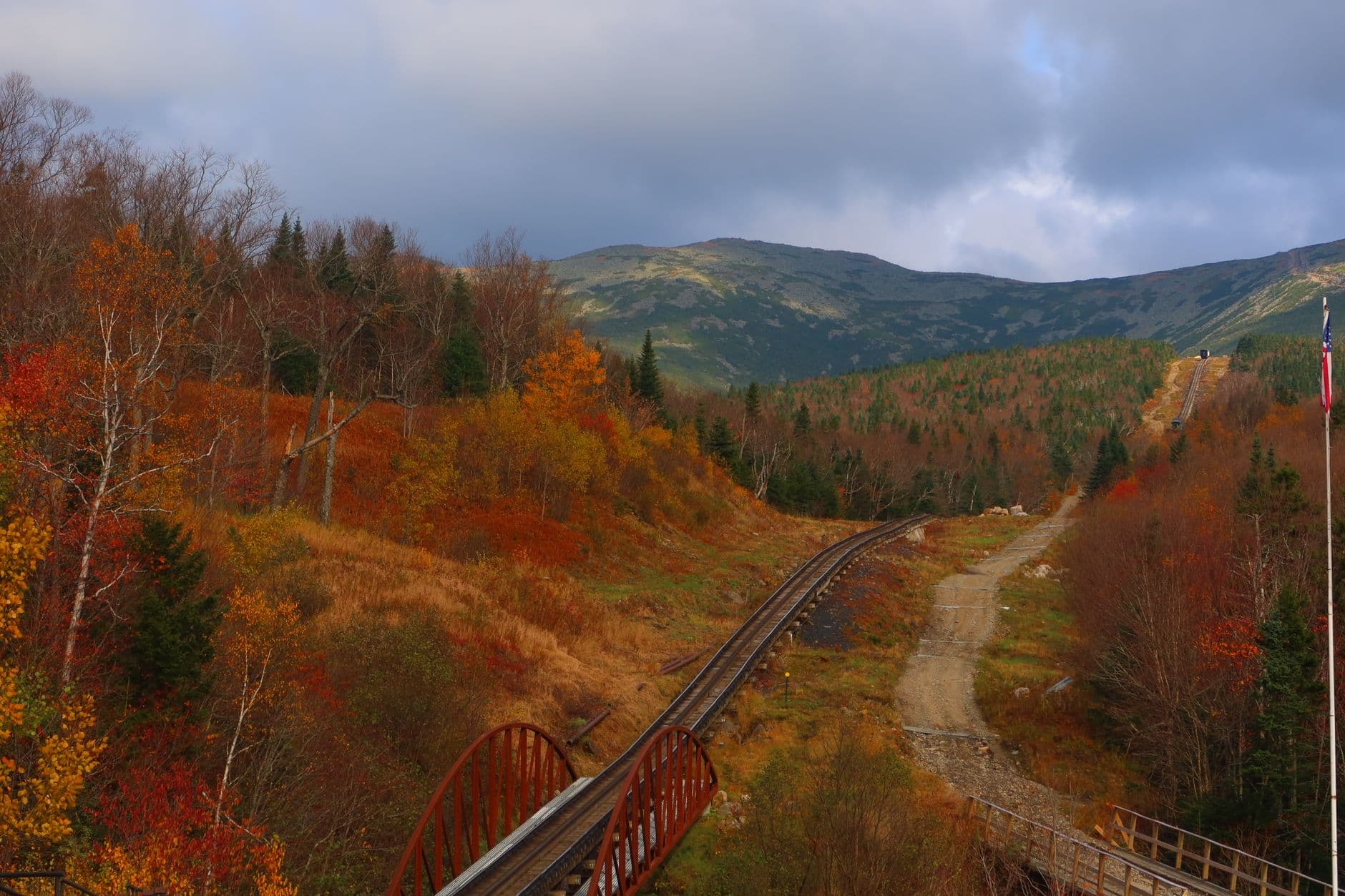
Whether you're driving the Auto Road, riding the Cog Railway, or hiking a chosen trail, this is the day's centerpiece—thin air, wind that can lean you sideways, and views that stretch across layered ridgelines fading into purple haze. Arrive at the base by 8am to beat both the heat and the mid-morning crowd surge; solo travelers should register their route at the trailhead and check the summit forecast one final time before committing. The summit itself rewards patience—cairns, cloud inversions on the right morning, and a small weather station museum if you want a break from wind.
Crawford Notch unspools in early light, the Saco River loud and cold beside the road, granite walls still dark with night's shadow. It's a brief pause—just enough to feel the pass's scale—before the road bends south toward the day's real objective.
Mount Washington dominates the hours that follow: thin air, sudden wind, and views that shift from forest green to alpine gray as elevation climbs. Whatever your chosen method of ascent, the crowd builds steadily from mid-morning onward, so the early start pays off in solitude at the top and easier footing on the way down.
Back in the valley by late afternoon, muscles tired and appetite sharp, head to a lodge or tavern in North Conway or Lincoln for a hearty dinner—pot roast, maple-glazed dishes, or fresh seafood alongside a local beer. Communal tables here are full of others who summited today too, and trail stories flow easily over shared exhaustion.
Day 3: Forest Canopy and Falling Water
A lighter recovery day along the Kancamagus Highway with short walks to waterfall overlooks, totaling roughly 2-3 miles, easing the body after yesterday's summit push.
Set out early while the forest is still cool and the road nearly empty—towering spruce and birch pressing close on both sides, the occasional pullout opening onto layered mountain ridges. Stop at Sabbaday Falls first, where cold spray and the roar of falling water offer a welcome contrast to yesterday's alpine wind.

Continue east through the scenic overlooks between mile 20-25, where the valley opens into wide, layered vistas—an easy, low-effort stretch perfect for unwinding after two demanding days. The Lower Falls area offers one more chance to feel the forest canopy close in before the drive winds back toward town.
The Kancamagus unspools cool and quiet in early light, forest pressing close on both sides until Sabbaday Falls breaks the stillness with its steady roar. It's a gentler kind of drama than yesterday's summit—water instead of wind, shade instead of exposure.
The drive eases further as you move east, wide valley overlooks opening up around midday, the pace intentionally slow after two physically demanding days. This is recovery built into the itinerary—easy stops, short walks, plenty of time to simply look.
Wind down back in town with an unhurried dinner, perhaps at a lodge bar where solo travelers gather over the day's photos and the trip's final impressions. Let the evening stay easy—early dinner, an early night, and one last look at the mountains before you head out in the morning.
Want to tweak this trip?
Our AI planner can customize this itinerary to your exact dates, interests, and travel style.
Customize This ItineraryRestaurant details (hours, menus, availability) change frequently. Check current hours before visiting, especially in seasonal destinations.
Dietary compatibility tags are general guidance. If you have severe allergies, confirm directly with the restaurant.
Travel tips are general guidance, not professional safety advice. Check government advisories for latest information, especially regarding Mount Washington summit conditions.
All prices are approximate and may vary seasonally.