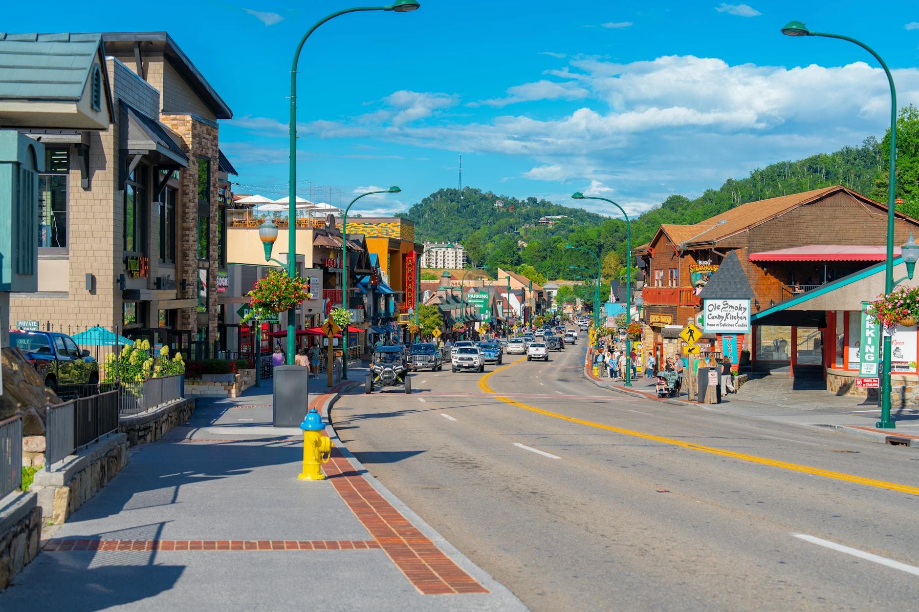
Big South Fork NRRA, Tennessee
3-Day Itinerary for Solo Traveler
“Gorge Light & Solitude: 3 Days Alone in Big South Fork”
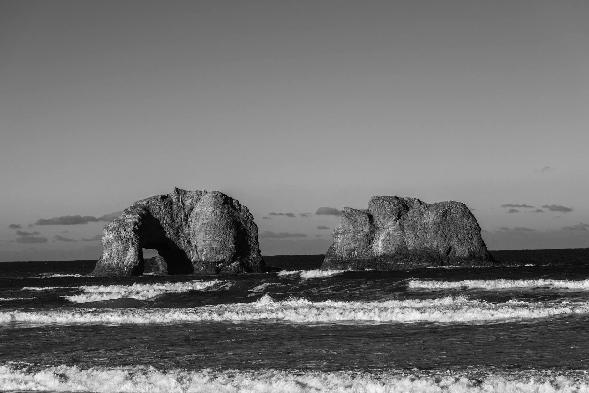
The fog lifts slow here, peeling off sandstone cliffs like a held breath before the gorge reveals itself. Spring wildflowers crowd the trailsides, the rivers run full and loud with snowmelt, and for a solo traveler willing to rise early, entire overlooks and arches arrive empty, just you and the sound of water working stone.
At a Glance
Highlights
- Standing alone beneath Twin Arches before the first tour bus arrives
- The rhythmic clack of the Scenic Railway threading a gorge few roads ever reach
- Hemlock-shaded mist at Laurel Creek Gorge's waterfall
- Suspension bridge crossings over the roaring Big South Fork at Charit Creek
- Depression-era stone cabins swallowed by rhododendron at Pickett State Park
- Wildflower-lined creek banks at Bandy Creek in the cool of early morning
- Quiet, star-heavy nights with almost no cell signal to pull you elsewhere
Day-by-Day Plan
Day 1: Easing Into the Gorge at Bandy Creek
A gentle first day exploring the accessible Bandy Creek Hub on foot and by rail, covering roughly 2-3 miles with low-to-moderate exertion to ease into the park's rhythm.
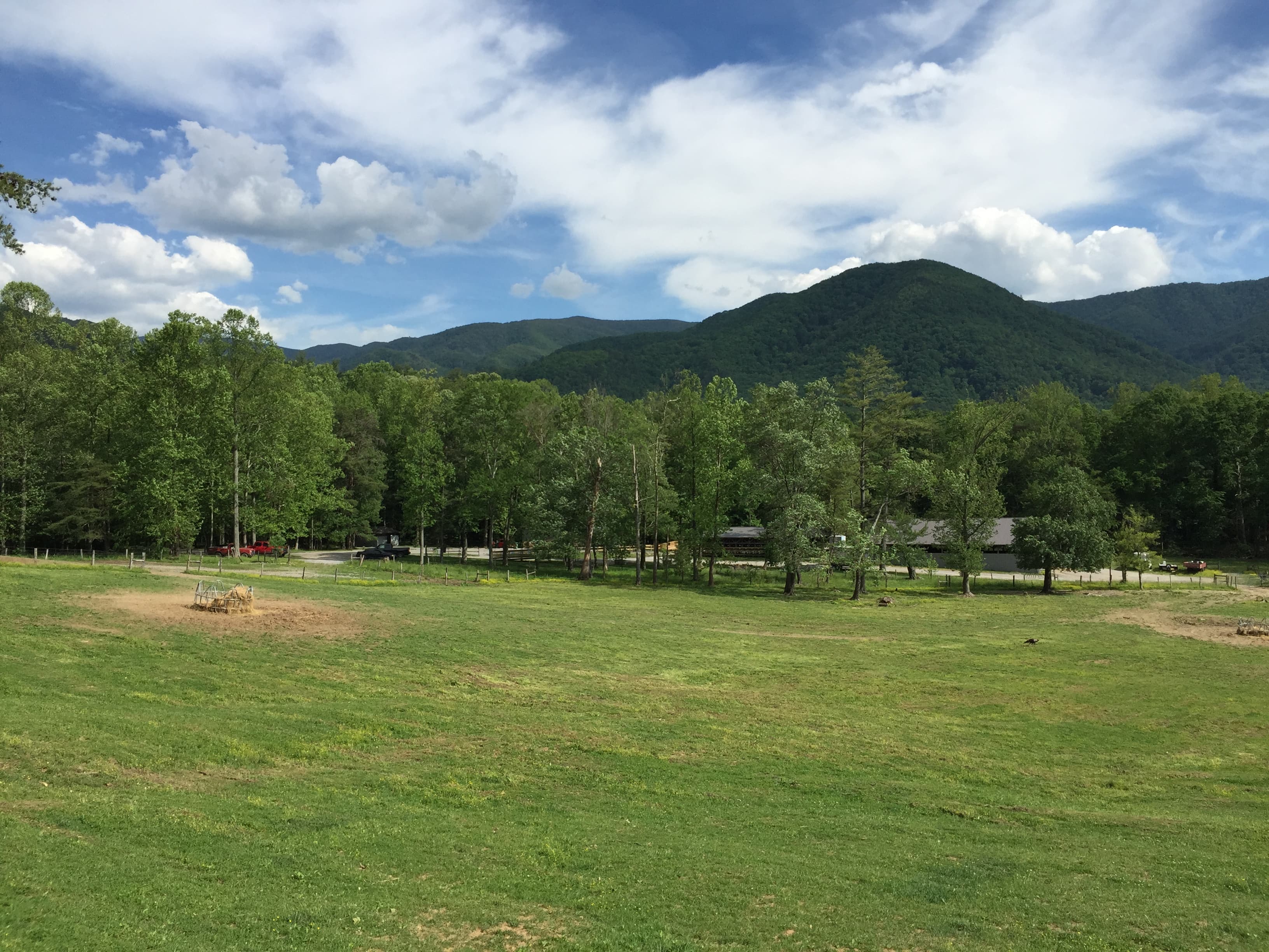
Arrive by 8am and the creek is yours alone — cool water lapping over smooth stones, mist still clinging to the rust-colored cliffs above, the gorge quiet except for birdsong and rushing water. This is the softest possible introduction to Big South Fork: no technical hiking required, just a chance to let the scale of the place settle in before the day gets busier. By mid-morning, weekend visitors start arriving in small clusters, so the early light is worth the early alarm.

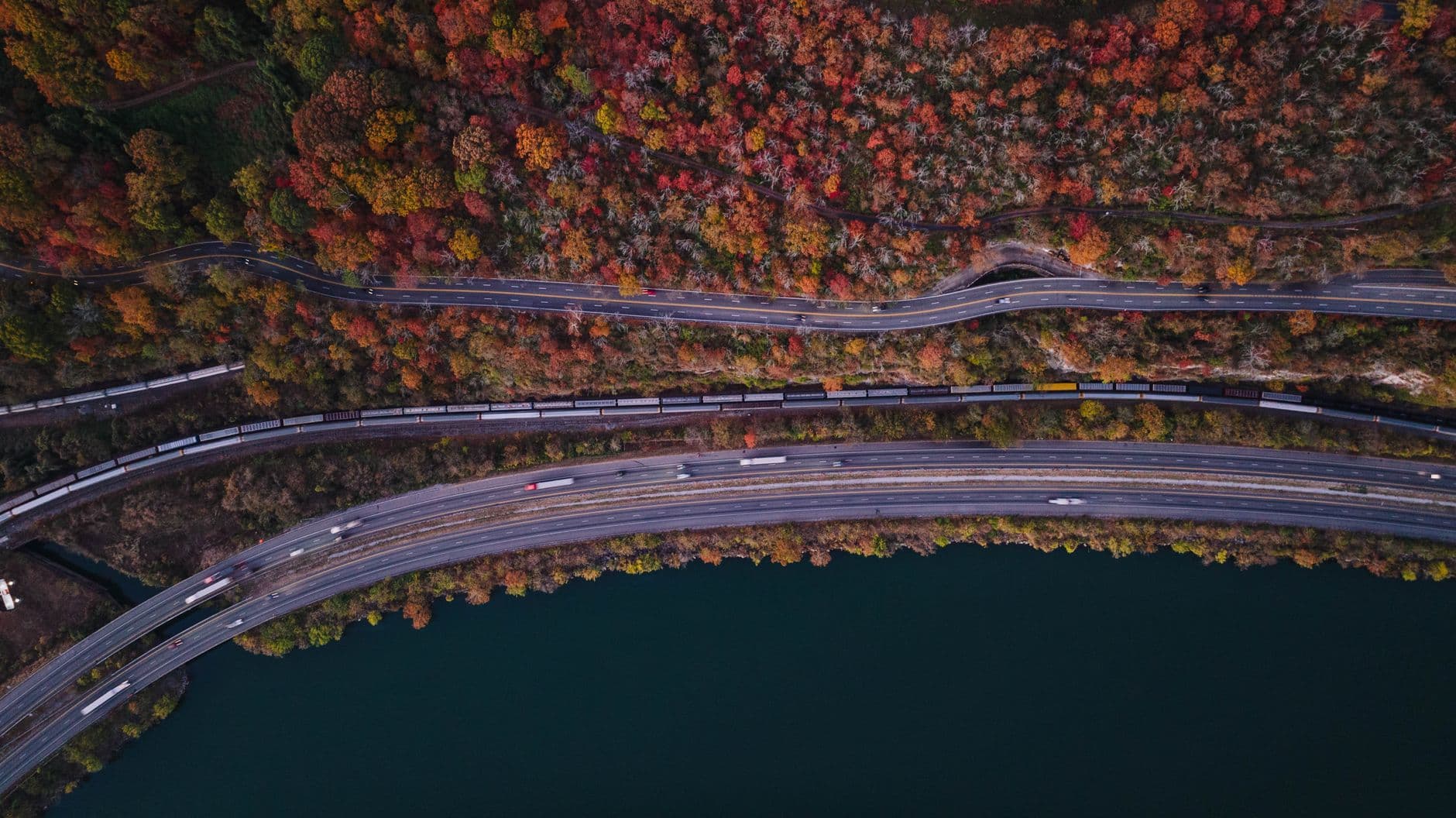
The train is an easy, low-exertion way to see the gorge's full drama without the mileage, and it's a built-in social opportunity — shared bench seating and an observation car invite conversation with fellow solo travelers and families alike. Diesel smoke curls past the windows as the gorge opens below, rock walls glowing amber, and the rhythmic clack of rails becomes almost meditative by the second tunnel. Sit near the rear platform if you can, since the receding track view through the canyon is the trip's best camera angle.
The first morning in Big South Fork is about easing in gently. Bandy Creek offers low-stakes beauty — cool water over smooth rock, towering cliffs, and the particular hush of a gorge before the day's visitors arrive. Reaching the creek by 8am means having it essentially to yourself, a rare solo-travel luxury worth the early start.
Midday shifts to the Scenic Railway, a seated, low-exertion counterpoint to the morning's walking. It's also the day's best social opportunity, with shared observation-car seating that makes striking up conversation easy. The gorge unfolds in layers of amber rock and distant river glimpses, tunnels plunging the car into brief darkness before light floods back in.
With no verified dining options directly inside the Bandy Creek Hub area, plan to drive toward Oneida or a nearby town for dinner this evening — pack snacks for the drive and treat the meal as a chance to debrief the day's sights over something warm and hearty before an early, quiet night.
Day 2: Arches at Dawn, Falls by Afternoon
A moderately strenuous day moving through the Twin Arches & Upper Canyon cluster, covering an estimated 4-5 miles with sustained elevation change and creek-side scrambling.
Arrive by 7:30am and the arches are nearly silent — just cool shade, the smell of damp earth and moss, and the quiet drip of water through crevices. The twin stone portals rise improbably from the forest floor, and in early light the lichen-patterned rock seems to glow from within. By 9am, weekend foot traffic picks up noticeably, so this early window is the one to claim for photos and solitude alike.
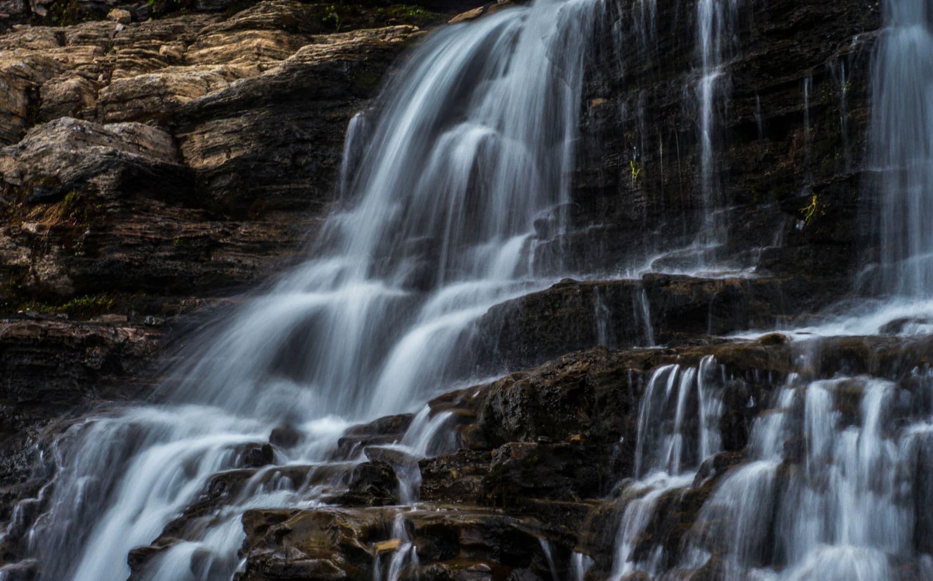
This is the day's centerpiece and arguably the best solo-travel stop in the whole park — a hemlock-sheltered waterfall sanctuary that stays lightly trafficked even in peak season. The thundering rush of water echoes off rock walls, cool mist settles on your face, and the trail's moss-covered stone demands careful footing but rewards with multiple vantage points as the light shifts through the canopy. Pack a lunch, since no dining options exist out here — this is a full morning-into-afternoon immersion best taken slowly.
Dawn belongs to Twin Arches this morning — a short, cool-shaded walk to one of the park's most striking formations, best experienced before 8:30am when the trail is still empty and the light raking through the trees makes the lichen-covered stone glow.
The pace shifts into a longer, more immersive wilderness experience at Laurel Creek Gorge, where the thunder of falling water and the hush of hemlock forest replace the morning's quieter geology. This is the day's physical high point — plan for a packed lunch eaten trailside, since no dining services exist in this cluster, and budget real time for photography as the light moves across the falls.
With no dining data available for this remote cluster, the evening calls for a drive back toward lodging or a nearby town for dinner — treat the return drive as a wind-down after a physically full day, and get to bed early given tomorrow's demanding backcountry terrain.
Day 3: Into the Backcountry: Charit Creek
The most demanding day of the trip, covering roughly 5-6 miles of backcountry hiking into the remote Charit Creek Backcountry cluster, with high exertion and significant elevation change.
This is the park's true backcountry reward, and arriving early — ideally by 7am — means having the suspension bridges and the roaring gorge below almost entirely to yourself. The percussion of the Big South Fork rushing through the canyon, the smell of rhododendron and damp stone, and the cool air rising off the water make this feel like a different park altogether from the accessible hub days earlier. Solo travelers should register their route with someone before setting out, as cell signal is essentially nonexistent here and the hike in demands real effort.

After the morning's exertion, this is a welcome lower-energy counterpoint — rough-hewn stone cabins built by Depression-era hands, now half-swallowed by rhododendron and cathedral-tall trees. The quiet here is different from the gorge's roar: just songbirds and distant water, with the faint ghost-smell of old wood smoke still clinging to the stone. It's a good spot to sit on a porch step, eat a packed lunch, and let the morning's adrenaline settle before the drive out.

The final full day pushes into the park's wildest corner. Charit Creek demands real effort to reach, but the reward is total immersion — suspension bridges swaying over the roaring river, layered sandstone walls glowing in early light, and a solitude that the more accessible clusters simply can't match. This is the trip's physical peak, so pace yourself and keep a sustainable rhythm.
The pace eases deliberately at Pickett State Park's cabin district, trading the gorge's roar for the quieter poetry of stone and timber built by hands nearly a century gone. It's a good place to eat a packed lunch, rest tired legs, and reflect on the trip's arc from accessible hub to true backcountry.
With the long drive back from this remote cluster and no dining data available on-site, plan dinner for a stop in Oneida or a nearby town on the way out — a fitting, low-key close to a trip built around solitude, cool air, and the particular hush of Appalachian wilderness in spring.
Want to tweak this trip?
Our AI planner can customize this itinerary to your exact dates, interests, and travel style.
Customize This ItineraryRestaurant details (hours, menus, availability) change frequently, and this itinerary deliberately omits invented dining suggestions where no verified data exists — check current options in nearby towns before visiting, especially in this remote, seasonal destination.
Dietary compatibility tags are general guidance. If you have severe allergies, confirm directly with any restaurant before dining.
Travel tips are general guidance, not professional safety advice. Check government advisories and park service alerts for the latest water-level and trail-condition information before heading into backcountry areas.
All prices are approximate and may vary seasonally.