Bighorn Canyon NRA (WY side), Wyoming
3-Day Itinerary for Solo Traveler
“Canyon Light & Quiet Water: 3 Days Alone on Bighorn's Wyoming Rim”

Here the canyon doesn't announce itself with crowds — it reveals itself slowly, in early light on empty overlooks and the hush of water a thousand feet below red rock. This is a trip built for solitude: sunrise trailheads, long unhurried views, and the rare luxury of hearing only wind and eagles.
At a Glance
Highlights
- Sunrise at Bighorn Lake's main overlook before the day-trippers arrive
- The thunder and turquoise churn of Yellowtail Dam's spillway
- Horseshoe Bend's vertigo-inducing river curve carved through red rock
- Golden-hour canyon walls glowing amber from quiet pullouts
- Self-sufficient picnic meals with hundred-mile views
- Genuine solitude — some overlooks you'll have entirely to yourself
- Small-town Western character in Lovell as a basecamp
Day-by-Day Plan
Day 1: Arrival & First Light on the Reservoir
A gentle arrival day focused on the northern Yellowtail Dam cluster, with light walking (under 2 miles) and generous time for photography and settling in.
Arrive by 8am and the overlook is nearly empty — just you, the roar of water through the spillways, and the mineral tang of the reservoir rising off sun-warmed stone. The arch dam's scale is disorienting at first, a mid-century feat of engineering wedged into one of the most remote canyons in the country. Take your time here; by 9:30am the parking area starts to fill.
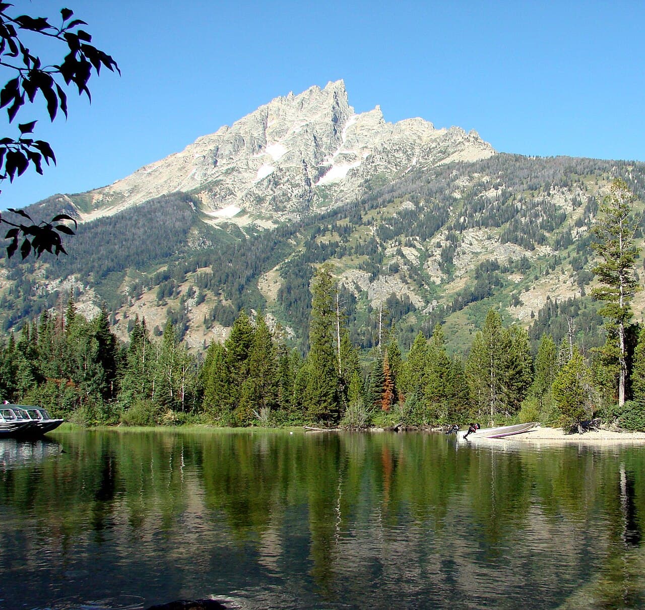
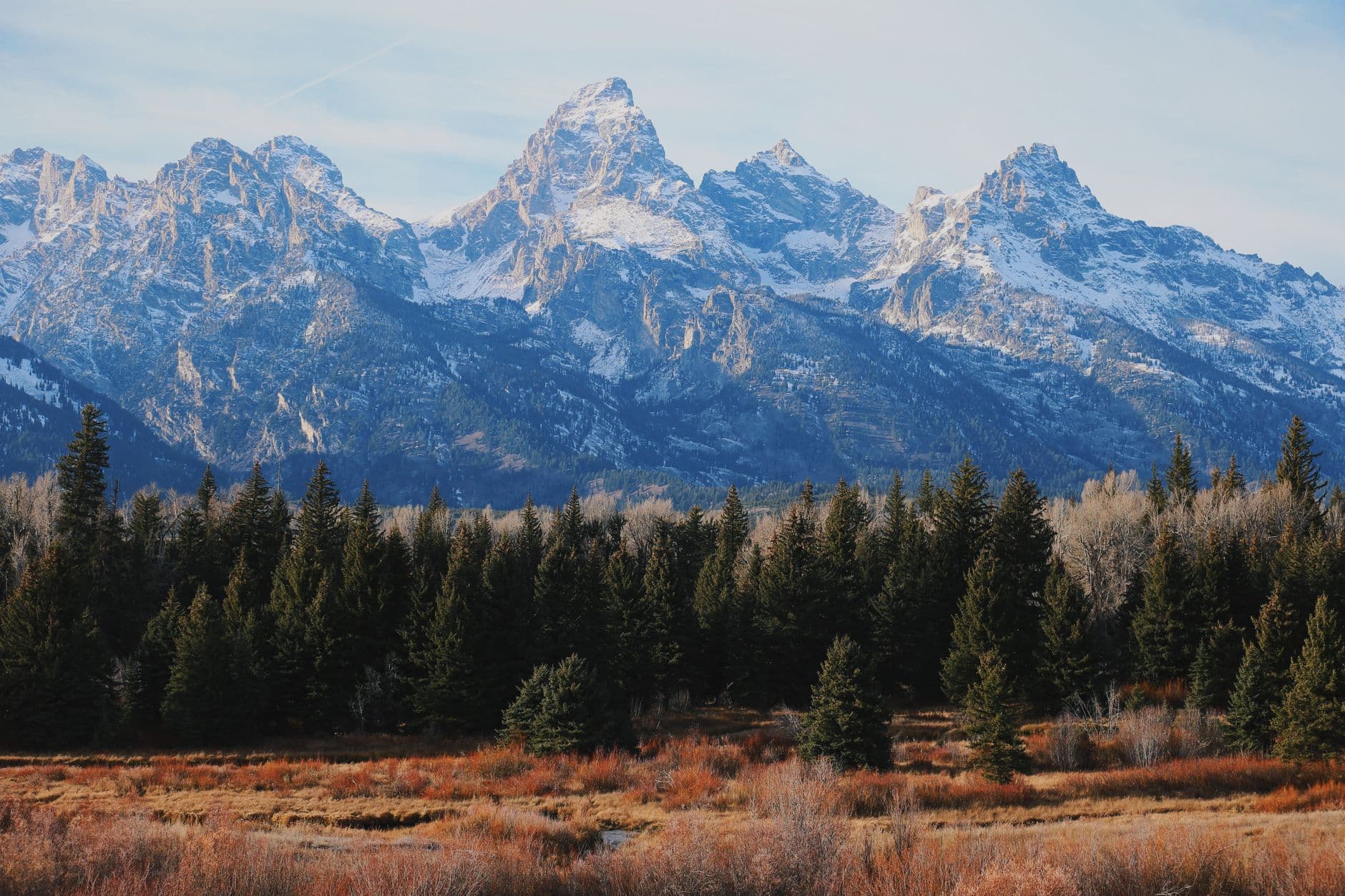
A short drive brings you to the main overlook, where seventy-one miles of reservoir unspool beneath canyon walls striped gold and purple. The breeze carries sage and juniper, and if you're patient, golden eagles ride the thermals along the rim. This is a good spot to simply sit a while — solo travel rewards you here with no one to rush you along.

The day begins gently, with an early arrival at Yellowtail Dam while the air is still cool and the overlook empty. The spillway's roar and the turquoise churn below set the tone for a trip built around scale and solitude — there's no rush here, just the slow unfolding of canyon light.
From the dam, a short drive leads to Bighorn Lake's main overlook, where the reservoir stretches impossibly far between canyon walls. Midday brings warmth and a drier breeze, so plan to linger in the shade of a pullout, sipping water and watching eagles work the thermals — a good afternoon for unhurried photography rather than strenuous movement.
With no dining options mapped directly within the canyon, plan to drive back toward Lovell for a hearty, casual dinner at one of its family-run diners — a good chance to chat with locals and ranchers over a plate of classic American fare. Pack a cooler with groceries for tomorrow's picnic lunch, since canyon-side options remain sparse.
Day 2: Deeper Into the Dam Cluster, Golden Hour on the Water
A fuller day revisiting the Yellowtail Dam & Afterbay cluster at different light and tide, with moderate walking (around 2–3 miles) and extended photography time.
Return at dawn and the lake wears entirely different light — soft gold creeping down the canyon walls, the water glassy and still before any wind picks up. Arriving by 7am means the boat launch area is empty save for the occasional early angler, and the silence is close to absolute.
By midmorning, return to the dam for a longer look — this time focusing on the upstream canyon vista from the upper parking area, a different angle than yesterday's spillway shot. The crowds are moderate by now, so expect some foot traffic at the main overlook, but there's still room to find a quiet edge.
A pre-dawn drive rewards you with Bighorn Lake at its stillest — the kind of silence that makes solo travel feel like a privilege rather than a compromise. Watching the canyon walls slowly catch the sun is a meditative start to the day.
Midday shifts the mood toward the dam itself, revisited from a new angle with the sun now high and flattening the canyon's color into bold contrast. This is a good stretch for a slow picnic lunch from your cooler, eaten at a quiet pullout with the whole reservoir laid out below.
As light softens, consider lingering near the reservoir for the amber wash across the canyon walls before heading back toward Lovell for dinner — another chance to sit at a counter or communal table and talk with fellow travelers or locals about trail conditions and wildlife sightings.
Day 3: Red Rock and the River's Curve
A moderate final day exploring the Horseshoe Bend & Central Canyon cluster, with around 2 miles of walking and a slightly higher energy level before departure.
Arrive by 7:30am and the overlook is yours alone — the river's impossible turquoise curve far below, canyon walls burning orange and crimson in the early light. The silence is profound, broken only by a faint rush of water hundreds of feet down. By mid-morning this spot draws steady foot traffic, so the early hour is non-negotiable for solitude.
The final morning belongs to Horseshoe Bend, reached by a longer but scenic drive south into deeper red rock country. Arriving early means uninterrupted silence and the best light for the canyon's signature curve — a fitting, quiet climax to a trip built on solitude.
With the main sight checked off early, the afternoon opens up for a relaxed picnic lunch at a quiet pullout, savoring the last hours of canyon views before beginning the drive back toward Billings or Cody. There's no need to rush — this is a day for lingering, not checklist-chasing.
Plan your departure timing around daylight and driving distance, since canyon roads are best navigated before dusk. If time allows, a final stop in Lovell for a casual, hearty meal offers one last chance to reflect on the trip over a counter seat among locals before the longer drive home.
Want to tweak this trip?
Our AI planner can customize this itinerary to your exact dates, interests, and travel style.
Customize This ItineraryRestaurant details (hours, menus, availability) change frequently. Check current hours before visiting, especially in seasonal destinations.
Dietary compatibility tags are general guidance. If you have severe allergies, confirm directly with the restaurant.
Travel tips are general guidance, not professional safety advice. Check government advisories for latest information.
All prices are approximate and may vary seasonally.