2 DaysTeen Families5 Stops

Twin Falls area, Idaho

2-Day Itinerary for Teen Families

β€œCanyon Edge & Falling Water: Two Days Above the Snake River”
Canyon Edge & Falling Water: Two Days Above the Snake River

The canyon opens up without warning β€” one moment you're driving flat high-desert farmland, the next the earth drops 500 feet and a waterfall louder than a freight train fills the air with mist. Twin Falls rewards families who like their scenery big, their mornings early, and their teenagers slightly terrified by a BASE jumper stepping off a bridge into open sky. This is two days of raw geology, cold river air, and small-town Idaho food that punches well above its size.

At a Glance

Climate & Weather
Summer in Twin Falls means warm, dry, high-desert conditions with intense midday sun and highs often in the 85–95Β°F range; mornings are cool and pleasant. Pack sunscreen, a hat, layers for canyon wind gusts, and a light jacket for early starts β€” temperatures can swing 25+ degrees between dawn and afternoon.
Getting Around
A rental car is essential β€” this is a spread-out, drive-between-viewpoints kind of place with no meaningful public transit. Distances between stops are short (10–20 minutes), and parking is free and plentiful at every major site.
Budget
Budget roughly $60–100 per day per family member for food and activities β€” most Twin Falls attractions (Perrine Bridge, canyon rim viewpoints) are free, so spend is concentrated on meals and any optional gear rentals.
Safety
Very safe destination overall. Keep teens back from unguarded canyon rim edges, especially at Perrine Bridge and gorge overlooks where wind gusts can catch you off guard. Watch footing on loose rock trails, carry water in the heat, and keep an eye out for rattlesnakes on sun-warmed trail sections in summer.
Connectivity
Cell coverage is reliable in town and at all major overlooks; expect occasional dead spots on canyon rim pullouts and along Milner Dam access roads. Most lodging offers free WiFi.
Local Tips
Arrive at Shoshone Falls and Perrine Bridge before 8:30am in summer β€” both the light and the crowds are dramatically better, and BASE jumpers favor calm morning thermals. Restaurants here run on an early rural clock, so plan dinner by 7–7:30pm. Bring cash or cards for small local diners that may not take all card types.

Highlights

  • Watch BASE jumpers leap from Perrine Bridge into the Snake River Canyon
  • Feel the mist of Shoshone Falls β€” Idaho's 'Niagara of the West' β€” on your face
  • Walk canyon-rim trails with 500-foot drops and sweeping desert views
  • Explore the engineering history of Milner Dam tucked into basalt cliffs
  • Early-morning light on the gorge before the crowds arrive
  • Casual, teen-approved dining rooted in Magic Valley farm country

Day-by-Day Plan

Arrival & Canyon Orientation

Day 1: First Light on the Rim

An easy-paced first day covering roughly 2 miles of walking, centered entirely on the Canyon Rim & Gorge Viewpoints cluster to settle into the scale of the place before tackling anything strenuous.

Wear
Comfortable walking shoes with grip, layered clothing for cool morning canyon wind warming into hot afternoon sun, hats and sunscreen, a light jacket for the bridge's wind tunnel effect.
Budget
$70-100 for the family (free viewpoints, moderate lunch and dinner)
8:00 AM - 8:45 AM
Perrine Bridge (BASE jumping viewing) Β· morning Β· 45 min Β· Canyon Rim & Gorge Viewpoints

Arrive while the canyon air is still cool and the wind hasn't picked up β€” this is prime jump time, when BASE jumpers favor calm morning thermals to launch off the 486-foot span. The rush of wind through the gorge, the orange-red rock streaked with mineral stains, and the sudden flutter of a parachute catching light make this an easy sell for skeptical teens. Let them wander the north overlook a bit on their own; it's a natural moment of independence with a jaw-dropping backdrop.

Perrine Bridge (BASE jumping viewing)
United States. Bureau of Land Management / wikimedia (Public domain)
Shoot from the north parking area for unobstructed views of jumpers against the canyon walls; return near sunset for backlit parachute silhouettes if you want a second visit.
Uneven, unpaved sections near the rim; not fully wheelchair accessible, and benches are sparse.
8 min drive β€” A quick hop along the rim road, canyon glimpses flashing between sagebrush on the passenger side.
9:00 AM - 10:15 AM
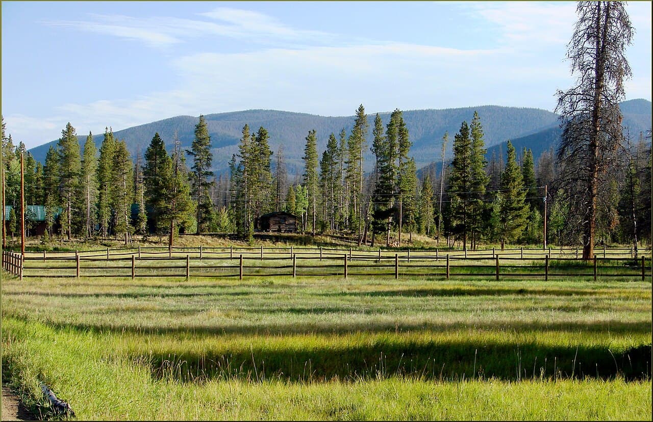
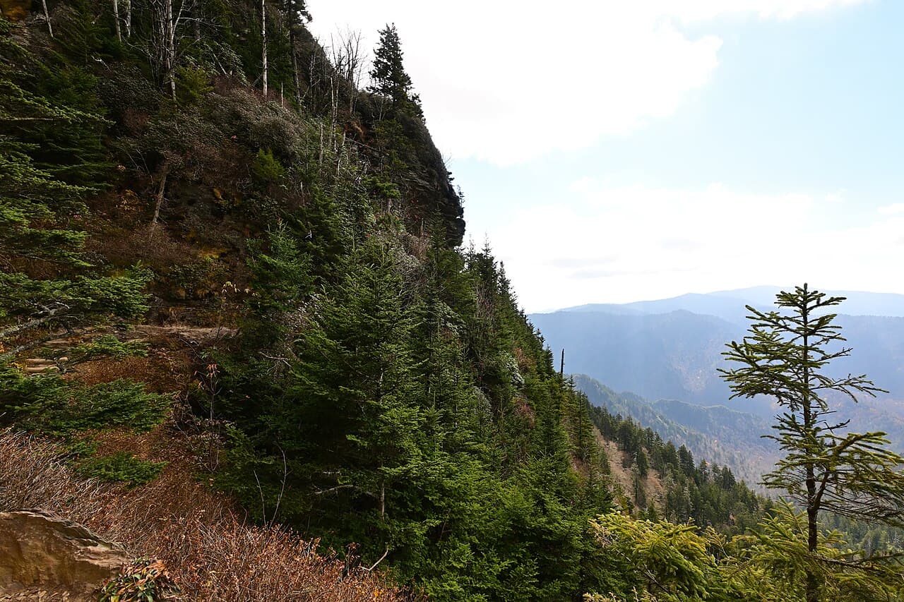
Snake River Canyon Β· morning Β· 75 min Β· Canyon Rim & Gorge Viewpoints

A short drive along the canyon rim delivers a different angle entirely β€” wide open sky, sagebrush-scented wind, and the sheer, dizzying drop to the river far below. This is the spot for that held-breath moment of scale: teens will want to test the edge (safely, from behind railed pullouts), while parents can just breathe in the openness of it. Moderate crowds build by mid-morning in summer, so this early window keeps things calm.

Snake River Canyon
Bureau of Land Management / wikimedia (Public domain)
Hansen Bridge vista point and the canyon rim pullouts both offer strong wide shots β€” midmorning light keeps the basalt walls warm without harsh shadows.
Uneven terrain at most overlooks; not wheelchair accessible, limited seating.
12 min drive β€” A short drive past farmland edging right up to the canyon rim, the falls' roar audible before you've even parked.
11:00 AM - 12:30 PM
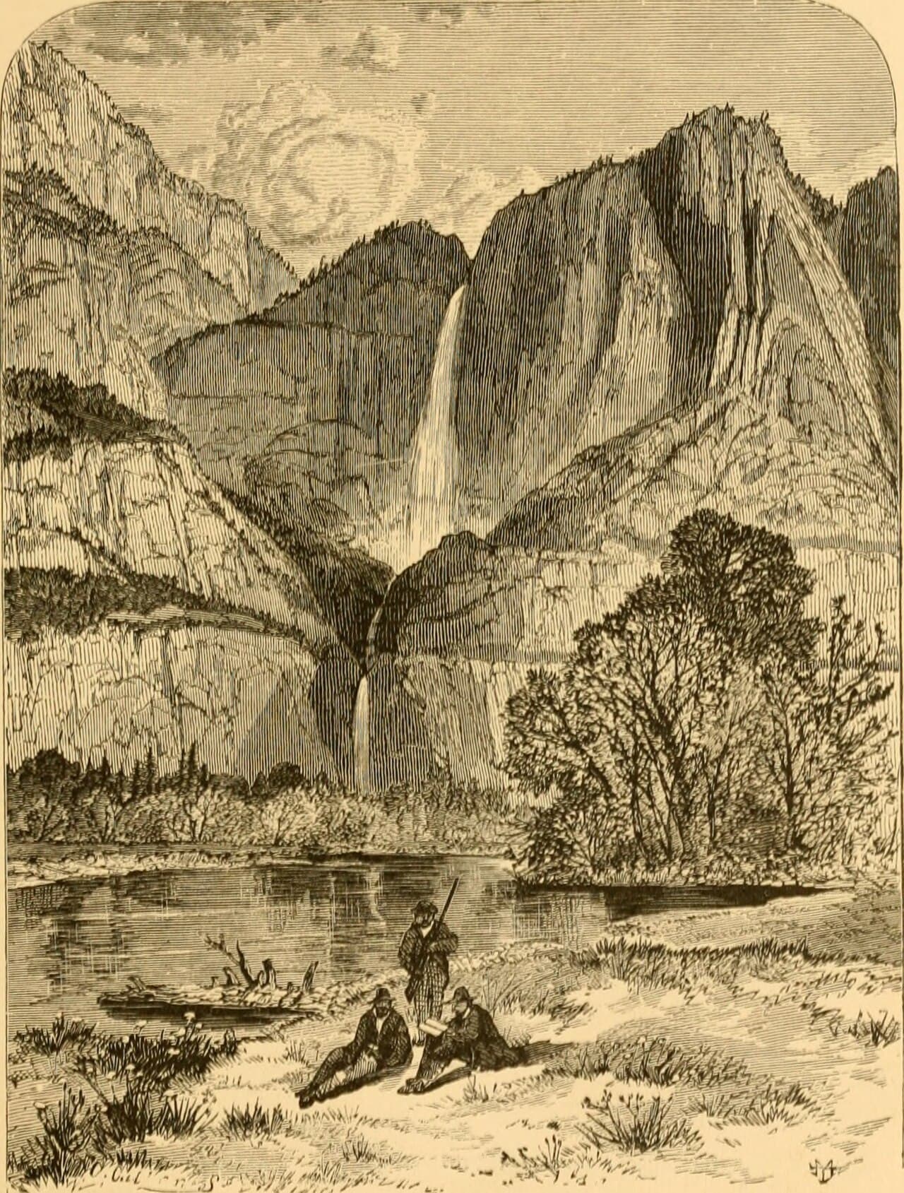
Shoshone Falls (Niagara of the West) Β· midday Β· 90 min Β· Canyon Rim & Gorge Viewpoints

This is the day's centerpiece: 212 feet of water thundering down basalt cliffs, loud enough to feel in your chest before you even see it. The mist cools the air noticeably as you approach the rim overlook, and the sheer volume of water β€” 45,000 cubic feet per second at peak flow β€” tends to silence even the most jaded teenager for a minute. Budget close to the full 90 minutes with kids in tow; the paved paths and multiple viewpoints make it easy to linger without exhausting anyone.

Shoshone Falls (Niagara of the West)
Internet Archive Book Images / wikimedia (No restrictions)
The main canyon-rim overlook gives the classic full-face shot; come back near 5-6pm if you want the amber late-light version instead.
Wheelchair accessible with flat paved paths and frequent benches β€” one of the most accessible major stops in the region.
Optional detour: Milner Dam & Historic Hydroelectric Site β€” After Shoshone Falls and before dinner in town
A quieter, engineering-focused stop that appeals to history-minded parents or teens curious about how hydroelectric power actually works, with dramatic canyon-wall framing. Skip if: Skip if energy is already flagging after Shoshone Falls β€” the site is 75 minutes and lacks the immediate visual punch of the waterfall, better saved for a day with lighter morning plans.
If it rains: Light rain doesn't close any of these outdoor sites β€” the falls are arguably more dramatic with added mist, and canyon views stay compelling in overcast light. Heavy rain calls for waterproof footwear and extra caution on wet overlook surfaces; consider shifting Milner Dam or a museum/downtown wander to the afternoon instead.

The day opens gently at Perrine Bridge, where cool canyon air and the occasional parachute give the trip its first jolt of adrenaline without demanding much physical effort. From there it's a short hop to the open, wind-swept rim of Snake River Canyon, where the scale of the gorge sinks in for the first time β€” a good, easy introduction to the geology that defines this whole region.

Midday belongs to Shoshone Falls, the trip's unmissable centerpiece. The paved, accessible paths mean nobody has to push hard in the heat, and the thundering water and rising mist offer natural relief from the summer sun. This is a good spot to slow down, let everyone wander the different viewpoints at their own pace, and simply take in the sound and spray.

With the canyon's scale absorbed and legs pleasantly tired rather than worn out, head into town for an easygoing dinner and an early night β€” the rural rhythm here means most kitchens wind down by 9pm, so aim to be seated by 7.

Adventure & Engineering

Day 2: Deeper Into the Gorge

A slightly more active second day covering close to 3 miles of walking across canyon rim trails and the Milner Dam site, staying within the same Canyon Rim & Gorge Viewpoints cluster for a focused, unhurried finish.

Wear
Sturdy closed-toe shoes for uneven trail and dam-site terrain, sun protection, a refillable water bottle, and a light layer for the cooler dam gorge microclimate.
Budget
$80-110 for the family (free sites, moderate lunch and dinner, optional gear or souvenirs)
7:30 AM - 8:45 AM
Snake River Canyon Β· morning Β· 75 min Β· Canyon Rim & Gorge Viewpoints

Return to the rim early β€” by 7:30am the light is soft and golden across the basalt walls, and you'll likely have entire pullouts to yourselves before the mid-morning crowds arrive. This second visit lets you explore a different stretch of the rim than Day 1, with time for teens to take their own photos and parents to simply stand at the edge and take in the quiet. The cool morning air makes this the most comfortable window of the whole day.

Snake River Canyon
Bureau of Land Management / wikimedia (Public domain)
Early morning backlighting on the canyon rim pullouts creates long shadows and warm tones β€” a strong contrast to the flatter midday light most visitors catch.
Uneven terrain at most overlooks; supervise kids closely near unrailed sections.
25 min drive β€” A longer stretch along farm roads with canyon glimpses on and off β€” worth a mid-drive pullover at any rim viewpoint if the kids need a stretch break.
10:00 AM - 11:15 AM
Milner Dam & Historic Hydroelectric Site Β· midday Β· 75 min Β· Canyon Rim & Gorge Viewpoints

A change of pace from pure scenery: the roar here comes from water rushing through penstocks rather than a waterfall, and the hum of hydroelectric power underfoot gives the whole site an industrial, almost secretive feel tucked into the canyon stone. It's a solid fit for teens who like understanding how things work, and the towering canyon walls framing the old powerhouse make for striking, less-crowded photos than the more famous stops.

Milner Dam & Historic Hydroelectric Site
Photo by Brett Sayles on Pexels
Shoot from the dam crest looking downstream in late afternoon for the best backlighting, or the historic powerhouse from the northeast for canyon-wall framing if visiting midday.
Uneven ground around the dam structure; not wheelchair accessible and benches are sparse β€” plan for a standing/walking visit.
Optional detour: Perrine Bridge (BASE jumping viewing) β€” After Snake River Canyon and before Milner Dam
A quick return visit catches late-morning jump activity and lets teens see the bridge from a different vantage than Day 1 if they were captivated the first time. Skip if: Skip if the family already got their fill on Day 1 β€” better to conserve energy and time for the dam site, which offers a genuinely different experience.
If it rains: Canyon rim views hold up fine in light rain, though wet rock and paths call for extra caution and waterproof shoes. If rain turns heavy, swap the rim return visit for downtown Twin Falls' museums and galleries, saving Milner Dam for a clearer afternoon window since outdoor photo quality drops significantly in heavy rain.

The second day opens with a deliberate return to the canyon rim at first light β€” the golden, quiet version of yesterday's dramatic scenery, with almost nobody else around. It's a calm, contemplative start before the day's more active stretch.

Midday shifts gears entirely at Milner Dam, trading waterfall spectacle for engineering intrigue. The hum of the powerhouse and the tucked-away canyon setting make it feel like a discovery rather than a tourist stop, and it's paced gently enough not to overwhelm anyone after a full first day.

With the canyon's big sights checked off and legs happily tired, wind down with an early, relaxed dinner in town β€” the kind of night where everyone compares photos from the bridge and the falls, and an early bedtime feels earned rather than forced.

Want to tweak this trip?

Our AI planner can customize this itinerary to your exact dates, interests, and travel style.

Customize This Itinerary
Good to Know

Restaurant details (hours, menus, availability) change frequently. Check current hours before visiting, especially in seasonal destinations.

Dietary compatibility tags are general guidance. If you have severe allergies, confirm directly with the restaurant.

Travel tips are general guidance, not professional safety advice. Check government advisories for latest information.

All prices are approximate and may vary seasonally.

We use cookies to improve your experience and analyze site usage. Essential cookies are always active. You can customize your preferences or accept all cookies. Cookie Policy