3 DaysSolo Traveler6 Stops

Twin Falls area, Idaho

3-Day Itinerary for Solo Traveler

Canyon Light & Winter Silence: 3 Days Above the Snake River

Canyon Light & Winter Silence: 3 Days Above the Snake River

In winter the canyon goes quiet — mist rises off Shoshone Falls into cold air, the Perrine Bridge parking lot sits nearly empty, and the whole gorge feels like it belongs to whoever's willing to bundle up and show up early. This is Twin Falls stripped of summer crowds, raw basalt and frozen sage under a low winter sun.

At a Glance

Climate & Weather
Expect cold, dry high-desert winter days — highs often in the 30s°F, lows well below freezing, occasional snow and icy patches on trails and overlooks. Pack thermal layers, a windproof outer shell, waterproof boots with good traction, gloves, and a hat; canyon wind gusts make it feel colder than the forecast.
Getting Around
A car is essential — distances between clusters and dining are a short drive apart, sidewalks are minimal outside downtown, and winter road conditions call for caution on canyon rim roads. Rent a vehicle with good tires or check tread before winter driving.
Budget
Budget roughly $60–100/day for a solo traveler covering meals, coffee, and incidental activity fees — Twin Falls dining is affordable relative to major destinations.
Safety
Solo travelers should stick to marked overlooks, especially at Perrine Bridge and canyon rim pullouts where ice and wind gusts are real hazards — text someone your general plan before heading to remote viewpoints. Daylight is short in winter, so plan outdoor stops before mid-afternoon and carry a charged phone and layers in the car in case of road delays.
Connectivity
Cell coverage is solid in town and at major overlooks (Perrine Bridge, Shoshone Falls); expect weaker signal in canyon-bottom areas near Milner Dam. Most lodging offers reliable WiFi.
Local Tips
Arrive at outdoor viewpoints within the first hour after sunrise for both solitude and the softest light of the day. Many attractions run reduced winter hours, so double-check before driving out, and note that BASE jumping activity drops significantly in cold months — treat any sighting as a bonus, not a guarantee.

Highlights

  • Standing alone at the Shoshone Falls overlook as mist freezes in midair
  • Watching for a rare winter BASE jump from an empty Perrine Bridge overlook
  • Tracing the Snake River Canyon rim in crisp, crowd-free cold
  • Golden hour light raking across canyon walls at Milner Dam
  • Solo-friendly pacing with plenty of built-in photography time
  • Early starts that reward you with a whole overlook to yourself

Day-by-Day Plan

Orientation, gentle canyon introduction

Day 1: Arrival & First Light on the Rim

A lighter arrival day easing into the canyon's scale with two anchor stops and generous photography time, roughly 2 miles of walking total.

Wear
Insulated waterproof boots, thermal base layers, windproof jacket, gloves, and a hat — canyon wind at the overlooks cuts through light layers fast.
Budget
$50–70 including meals and no major activity fees
9:00 AM - 9:45 AM
Perrine Bridge (BASE jumping viewing) · morning · 45 min · Canyon Rim & Gorge Viewpoints

Start here as a gentle orientation to the canyon's scale — even without jumpers active in the cold, the sheer 486-foot drop and orange-streaked rock face announce what this place is about. Winter mornings mean you'll likely have the north overlook to yourself, wind humming through the girders and sagebrush scent carried up from the gorge floor. Watch for the rare hardy jumper braving the cold; more likely you'll just stand at the rail absorbing the silence.

Perrine Bridge (BASE jumping viewing)
United States. Bureau of Land Management / wikimedia (Public domain)
Shoot from the north parking area overlook mid-morning when low winter sun rakes across the canyon walls without harsh shadows.
Uneven, unpaved sections near the rail — winter ice makes footing slippery, so wear traction-ready boots.
8 min driveA short hop along the canyon rim road, frost still clinging to the sagebrush in shaded patches
10:00 AM - 11:15 AM
Snake River Canyon · midday · 75 min · Canyon Rim & Gorge Viewpoints

A short drive along the rim brings you to wider canyon pullouts where the Snake River's roar drifts up faintly from far below, muffled by winter's low water flow. The open sky and cold, clean air make this a meditative stop — good for slow, deliberate photography without anyone jostling for the same frame. This is a solid solo-friendly stretch: quiet, safe within marked pullouts, and easy to linger without feeling rushed.

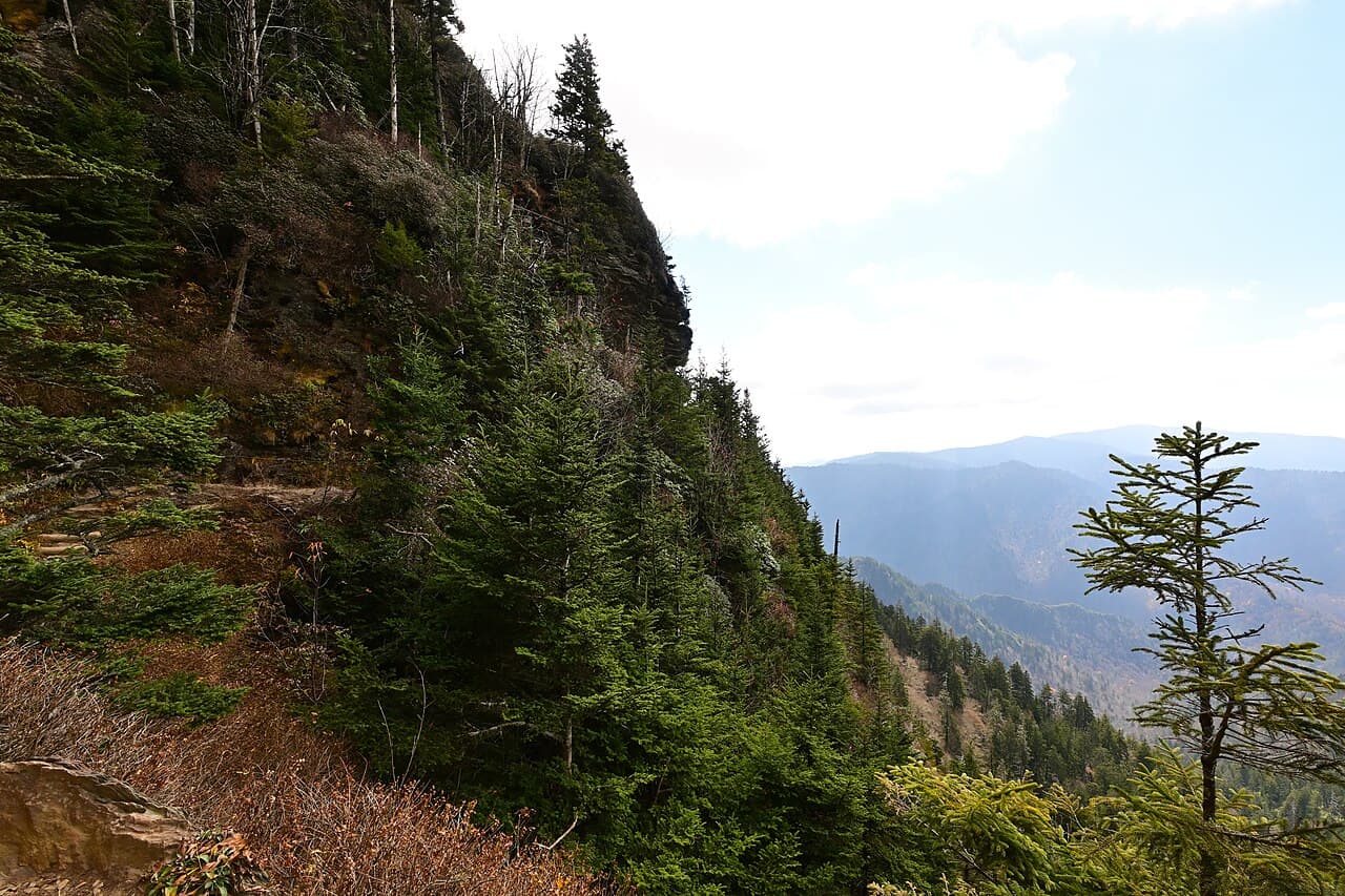
Snake River Canyon
Bureau of Land Management / wikimedia (Public domain)
Use the canyon rim pullouts around midday for even light across the gorge walls; avoid backlit shots facing south.
Rim edges are unpaved and uneven — stay well back from unguarded drop-offs, especially if icy.
Optional detour: Milner Dam & Historic Hydroelectric SiteAfter Snake River Canyon and before check-in/rest
A quieter, engineering-focused stop that adds historical texture to the canyon's natural drama without much extra driving. Skip if: If arrival travel has eaten your energy, this can easily wait for Day 2 or 3 without losing much.
If it rains: If snow or rain moves in, prioritize Perrine Bridge briefly from the car-adjacent overlook, then retreat indoors early — downtown Twin Falls offers shelter and time to reset before Day 2's fuller schedule.

Ease into the trip at Perrine Bridge, where the cold keeps the parking lot nearly empty and the canyon's scale reveals itself slowly — wind first, then the drop, then the thin ribbon of river far below. There's no rush here; this is about calibration, not conquest.

A short drive along the rim leads to broader canyon viewpoints, where the pace stays unhurried and the cold sharpens the quiet. This is a good stretch to simply stand still, let eyes adjust to scale, and take slow photographs without competing for space.

With no confirmed dining data for this cluster, plan your evening meal back in town rather than at the rim — Twin Falls' downtown area has more established options and warmth after a cold afternoon outdoors. Settle in early; tomorrow's the fuller day.

Waterfall power, deep photography

Day 2: Thunder in the Cold: Shoshone Falls Day

The trip's centerpiece day built around Shoshone Falls with an easy afternoon canyon stop, roughly 2.5 miles of walking, moderate energy.

Wear
Waterproof boots (mist freezes on rocks near the falls), thermal layers, gloves, and a hat — the mist zone runs noticeably colder than the parking area.
Budget
$40–60 including any entry fee and meals
15 min driveA short morning drive past frosted farmland, the canyon suddenly opening up ahead
8:00 AM - 10:00 AM
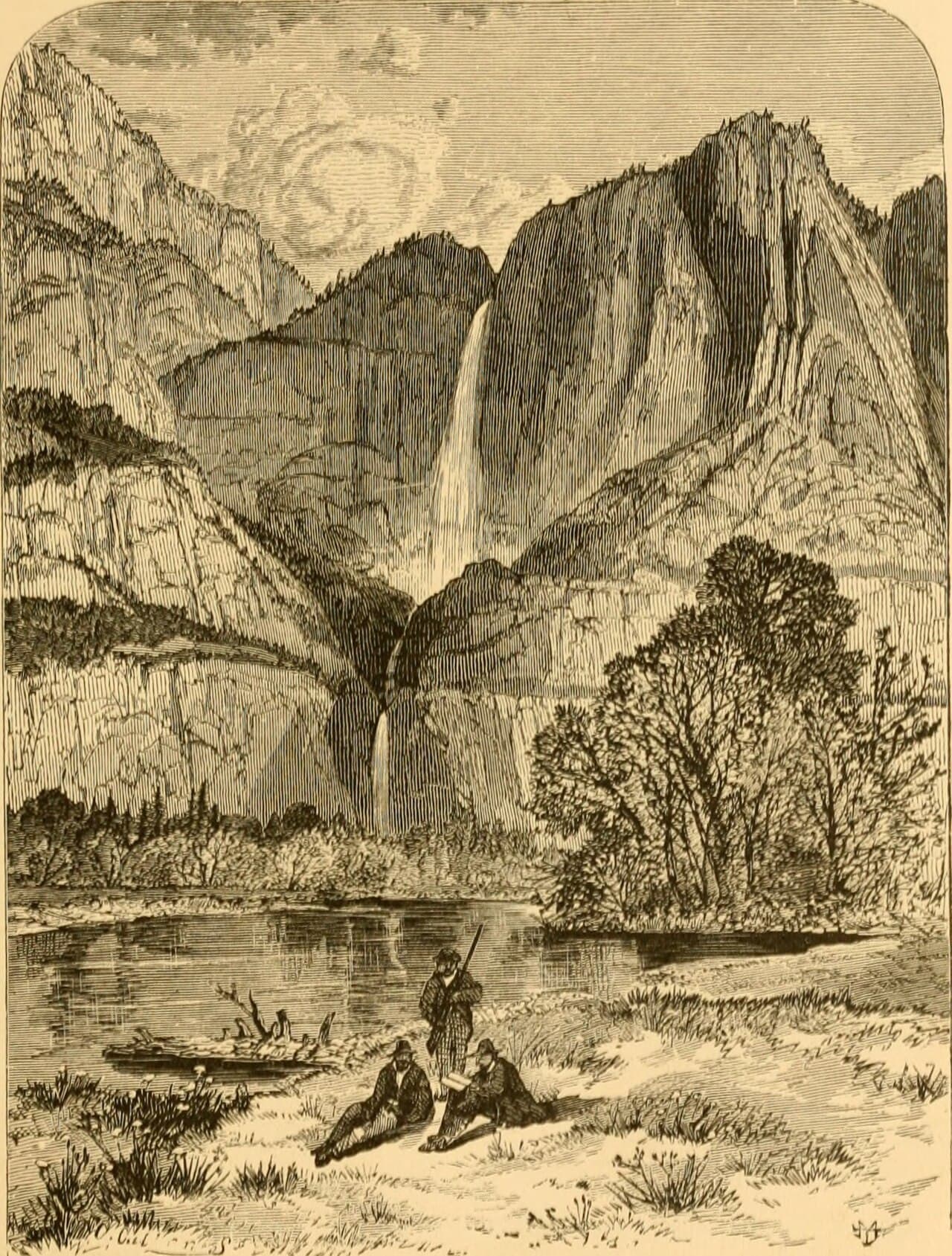
Shoshone Falls (Niagara of the West) · morning · 120 min · Canyon Rim & Gorge Viewpoints

Arrive by 8am and the main overlook is likely yours alone — just the roar of thousands of cubic feet of water per second and cold mist drifting up to meet frosty air. In winter, ice can rim the basalt edges, adding a stark beauty to the falls' raw power, though flow may be reduced compared to spring snowmelt. Solo travelers get real payoff here: unrestricted time at every viewpoint, no jostling for the rail, and a soundscape loud enough to drown out anything but your own thoughts.

Shoshone Falls (Niagara of the West)
Internet Archive Book Images / wikimedia (No restrictions)
Head to the main canyon-rim overlook first thing — soft early light plus rising mist creates natural diffusion perfect for photos; return to the east-side trail viewpoint by mid-morning for a more intimate angle.
Main overlook is wheelchair accessible with a flat paved path and frequent benches, though icy patches may form in freezing temps.
20 min driveA quieter stretch of highway with wide-open winter fields on either side before the canyon reappears
1:00 PM - 2:15 PM
Milner Dam & Historic Hydroelectric Site · afternoon · 75 min · Canyon Rim & Gorge Viewpoints

After the sensory intensity of the falls, this quieter engineering site offers a nice tonal shift — the low hum of hydroelectric machinery, stone and mineral-scented air, and canyon walls framing the old powerhouse. It's a good solo stop for slower, contemplative photography, especially as afternoon light angles into the gorge.

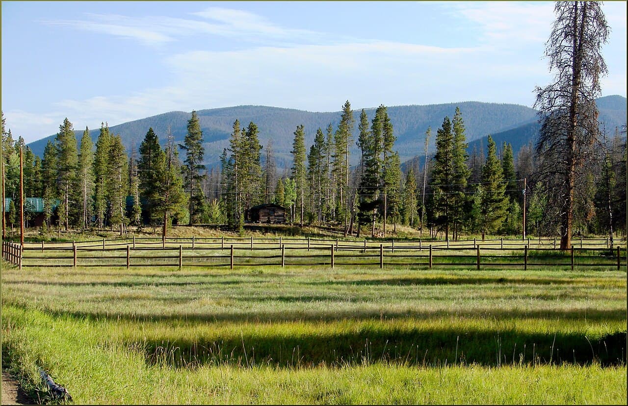
Milner Dam & Historic Hydroelectric Site
Photo by Brett Sayles on Pexels
Shoot from the dam crest looking downstream in late afternoon for backlit canyon shadows.
Unpaved, uneven terrain around the dam — sturdy footwear is essential, particularly if there's residual snow or ice.
Optional detour: Perrine Bridge (BASE jumping viewing)After Shoshone Falls and before Milner Dam
A quick return visit here can catch midday light differently and offers a change of pace between the falls and the dam. Skip if: If you already covered this thoroughly on Day 1, skip it and head straight to Milner Dam to avoid repetition.
If it rains: Shoshone Falls remains dramatic and open in rain or light snow — mist actually enhances the atmosphere — but wear waterproof boots and expect muddy or icy paths; if conditions turn severe, shift plans indoors in town and postpone Milner Dam to Day 3.

The day's centerpiece unfolds at Shoshone Falls, where a deliberately early start rewards you with a nearly private encounter with 212 feet of falling water and rising mist in cold winter air. Take the full two hours here — move slowly between the main overlook and the east-side trail, letting the roar and spray set the day's rhythm.

The mood shifts from thunderous to contemplative at Milner Dam, where history and hydrology take center stage instead of raw natural power. It's a smaller, quieter stop — good for slower photography and a mental palate cleanser after the falls' intensity.

With no dining data attached to this cluster, plan to head back into town for your evening meal rather than expecting food options at the dam or falls — pack a snack for the drive if needed, and settle into Twin Falls proper once the light fades fast in winter's short days.

Reflective canyon wander

Day 3: Slow Farewell Along the Rim

A lighter final day revisiting the canyon rim for unhurried photography and closure before departure, roughly 1.5 miles of walking.

Wear
Warm layers and windproof outerwear — final canyon time means standing still in the cold for photography rather than active movement.
Budget
$30–50 including a final meal
9:00 AM - 10:30 AM
Snake River Canyon · morning · 90 min · Canyon Rim & Gorge Viewpoints

Return to the canyon rim one last time for a slower, more reflective visit — no new ground to cover, just space to notice details missed on Day 1: ice formations on basalt ledges, the particular blue of a winter sky against red rock. This kind of unhurried closure suits solo travel especially well, letting the trip's rhythm wind down naturally rather than cramming in one more big stop.

Snake River Canyon
Bureau of Land Management / wikimedia (Public domain)
Morning light along the canyon rim pullouts is soft and even — ideal for wide establishing shots of the gorge before you head out.
Rim areas remain uneven and unguarded in spots; move carefully if overnight frost has left icy patches.
10 min driveA brief final drive along the rim road, the bridge appearing suddenly against the sky
11:00 AM - 11:45 AM
Perrine Bridge (BASE jumping viewing) · midday · 45 min · Canyon Rim & Gorge Viewpoints

One final stop at the bridge rounds out the trip with a full-circle feeling — same overlook as Day 1, but the canyon reads differently now that its scale feels familiar rather than overwhelming. It's a fitting last look before heading toward the airport or next destination, wind and quiet a final reminder of the trip's unhurried pace.

Perrine Bridge (BASE jumping viewing)
United States. Bureau of Land Management / wikimedia (Public domain)
Late morning light is flat but clear here — good for straightforward documentary shots of the canyon and bridge structure together.
Same unpaved, uneven conditions as Day 1 — check for ice before approaching the rail.
Optional detour: Milner Dam & Historic Hydroelectric SiteAfter Snake River Canyon and before Perrine Bridge
If time allows before departure, it offers one more quiet, uncrowded stop with good winter light on the powerhouse structure. Skip if: If you're tight on time before a flight or long drive, skip it — you've already covered it thoroughly on Day 2.
If it rains: If snow or rain complicates final-day plans, shorten the rim visit and prioritize Perrine Bridge briefly from the car before departure — both sites tolerate light precipitation, but heavy snow may require adjusting timing around road conditions.

The final morning is unhurried by design — a return to the canyon rim not to see something new, but to sit with what's already been seen, cold air and quiet light doing the rest of the work.

A short last stop at Perrine Bridge closes the loop, the same overlook now familiar rather than awe-striking in the same way — a gentle, low-key way to wind the trip down before departure.

With travel likely departing later in the day, keep plans flexible — grab a final meal in town before hitting the road, allowing buffer time for winter driving conditions on the way to the airport or next stop.

Want to tweak this trip?

Our AI planner can customize this itinerary to your exact dates, interests, and travel style.

Customize This Itinerary
Good to Know

Restaurant details (hours, menus, availability) change frequently. Check current hours before visiting, especially in seasonal destinations.

Dietary compatibility tags are general guidance. If you have severe allergies, confirm directly with the restaurant.

Travel tips are general guidance, not professional safety advice. Check government advisories for latest information.

All prices are approximate and may vary seasonally.

We use cookies to improve your experience and analyze site usage. Essential cookies are always active. You can customize your preferences or accept all cookies. Cookie Policy