White Mountains (North/South), New Hampshire
2-Day Itinerary for Teen Families
“Notch to Notch: Two Winter Days in the White Mountains”
Snow presses the granite walls of Franconia Notch into sharper relief, the Saco River mutters under ice in Crawford Notch, and the Kancamagus unspools through white-quiet forest — this is the White Mountains stripped to their winter bones, built for a family that wants adventure without a single wasted mile.
At a Glance
Highlights
- Frost-rimmed cliffs framing Franconia Notch at sunrise
- Echo Lake's frozen mirror beneath Cannon Mountain
- The Saco River roaring through ice-slicked Crawford Notch
- Snow-canopied miles along the Kancamagus Highway
- Sabbaday Falls half-frozen into blue-white sculpture
- Teen-friendly photo pullouts every few miles
- Low winter crowds mean the views feel privately yours
Day-by-Day Plan
Day 1: Settling Into the Notch
A gentle first day easing into the region with roughly 1.5 miles of walking across two dramatic but low-exertion stops in Franconia Notch.
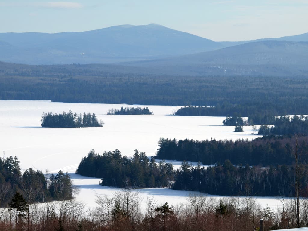
The pass opens like a held breath between granite walls dusted white, Cannon Mountain's cliffs catching the low winter sun in streaks of gold and shadow. Arrive by 9am and the pullouts are yours alone — by midday, even in winter's quiet season, a few more cars trickle in. Echo Lake sits frozen and silver below the ridge, a natural mirror for family photos that feel more like a postcard than a snapshot.

A slower second pass through the notch, this time pausing at the Parkway pullouts beneath Cannon Mountain's sheer cliff faces — a favorite for teens who want the dramatic vertical-rock photo without a long hike. The highway hum fades into the crunch of snow underfoot and the occasional groan of ice settling on the cliffs above.
The first morning eases the family into White Mountain winter with a slow roll through Franconia Notch, granite walls rising on either side like sentinels dusted in fresh snow. Echo Lake, frozen and still, becomes an unplanned mirror for Franconia Ridge, and the crisp air carries the scent of balsam fir rather than any rush of traffic — arriving early means having this whole postcard scene practically to yourselves.
After a warm-up break, the pace stays gentle with a second, closer look at the notch, this time framing Cannon Mountain's dramatic cliff faces from the Parkway pullouts. It's a low-exertion but high-impact stop, ideal for teens hunting the most dramatic photo of the day without any real hiking involved, and it keeps the group's energy in reserve for tomorrow's longer haul east.
With the light fading fast — winter days here close before 5pm — the family settles into lodging for the evening, letting the cold and scenery of the day sink in over a warm meal in town. Given no verified dining data for this immediate cluster, plan the evening meal around your base town rather than the trailhead, and treat the early sunset as a natural cue to wind down and rest up for Crawford Notch tomorrow.
Day 2: Notch, River, and Forest Canopy
A moderate day covering roughly 2 miles of walking across Crawford Notch and the Kancamagus Highway, with two anchor stops and a midpoint waterfall detour.
The mountains squeeze together here, granite walls pressing close on both sides while the Saco River fights its way through ice and stone below. Arrive by 8:30am and the overlook near Crawford Depot is silent except for the river's roar — by midmorning a handful of other cars appear, but winter keeps this pass remarkably uncrowded. It's a short stop but a dramatic one, the kind that makes teens put their phones up for the view instead of down.

The highway threads through white-blanketed forest canopy, spruce and birch standing at attention along a road that feels like New England's most photogenic drive even in the dead of winter. A stop at the Sabbaday Falls pullout rewards the family with a half-frozen cascade — water still moving beneath ice in places, utterly still in others — a striking contrast that's pure catnip for teen photographers. Multiple pullouts along the way offer valley vistas without requiring any real hiking, keeping the pace easy after the notch stop.

The second day shifts east into Crawford Notch, where the Saco River battles through ice and the granite walls close in tighter than Franconia's open sweep. It's a brief but potent stop — steam rising faintly off open water, the cold sharp enough to make everyone appreciate the car's heater on the return — and arriving early keeps the overlook blissfully free of other visitors.
The drive south onto the Kancamagus Highway trades notch drama for forest hush, snow-laden spruce lining the road for miles. The pace shifts here toward relaxed exploration: multiple pullouts invite short stops, and Sabbaday Falls delivers the day's signature photo, ice and moving water locked in visual tension. It's an easy, low-exertion stretch that still delivers plenty of scenery per minute in the car.
As the light fails early, as it does all winter here, the family heads back toward base town to close out the trip. With no verified dining data tied directly to this cluster, treat the evening as a chance to plan a meal around your lodging town rather than the roadside — a fitting, unhurried end to two days spent chasing frozen light through New Hampshire's most dramatic passes.
Want to tweak this trip?
Our AI planner can customize this itinerary to your exact dates, interests, and travel style.
Customize This ItineraryRestaurant details (hours, menus, availability) change frequently, especially in winter when many establishments reduce hours or close entirely; check current status before visiting.
Dietary compatibility tags are general guidance. If you have severe allergies, confirm directly with any restaurant before ordering.
Travel tips are general guidance, not professional safety advice. Winter mountain conditions change rapidly — check road and weather advisories before departure and avoid summit attempts on Mount Washington or other high peaks.
All prices are approximate and may vary seasonally.