White Mountains (North/South), New Hampshire
3-Day Itinerary for Teen Families
“Notches & Waterfalls: Three Days in the White Mountains”
Granite walls rise like held breath above the highway, waterfalls hiss through the birch and spruce, and the air smells of balsam and cold river stone. This is a summer itinerary built for families with teenagers who want real adventure without punishing logistics—short hikes with big payoffs, alpine views, and enough independence built in that everyone comes home with their own version of the story.
At a Glance
Highlights
- Stand where the Old Man of the Mountain once watched over Profile Lake
- Chase waterfalls along the Flume Gorge boardwalk
- Ride or hike toward the summit of Mount Washington, the Northeast's rooftop
- Cruise all 34 photogenic miles of the Kancamagus Highway
- Cool off in Saco River swimming holes after a day of driving and hiking
- Catch sunrise light on Franconia Ridge before the crowds arrive
- Let teens wander North Conway's shops with a little solo time
Day-by-Day Plan
Day 1: Easing In at Franconia Notch
A gentle first day of scenic driving and one moderate waterfall walk through Franconia Notch, covering roughly 2 miles on foot with light-to-moderate energy demands.
Arrive early and the notch feels like it belongs only to you—cool balsam-scented air, granite walls rising sheer on either side, and the Old Man's absence still somehow present in the collective memory of the place. Pull off at Profile Lake first, where the still water throws back a mirror image of the ridge, then continue to Echo Lake for a wider, more dramatic frame of Franconia Ridge. By 9am, tour buses start arriving and the pullouts fill fast—this early window is the best one you'll get all day.

Shift from driving-and-looking to walking-and-touching at the Flume Gorge boardwalk within the same notch corridor—narrow granite walls squeeze together overhead while Flume Brook roars beneath your feet on wooden walkways. Teens tend to love the slot-canyon drama and waterfall views; parents appreciate that it's a well-marked, moderate 2-mile loop rather than a technical hike. Go early or you'll be shuffling behind long lines of visitors on the narrower sections of boardwalk.
The day opens slow and easy, easing everyone into mountain time with a scenic loop through Franconia Notch. Profile Lake's still water and Echo Lake's wide-open ridge views make for unhurried photo stops before the road traffic builds, and there's no pressure to rush—this is about acclimating to the altitude, the pace, and each other after a travel day.
Energy shifts from passive driving to active walking at the Flume Gorge, where wooden boardwalks thread through a slot canyon and waterfalls tumble on either side. It's engaging enough for teens without being physically punishing, and the 2-mile loop wraps up by early afternoon, leaving room to relax before dinner.
With no dining data pinned to this specific cluster, plan the evening meal in whichever town serves as home base—North Conway or Lincoln both offer casual, family-friendly restaurants within a short drive. Consider an early dinner and a low-key evening to let the first day's driving and walking settle before tomorrow's bigger push toward Mount Washington.
Day 2: Into the Weather Gauntlet: Mount Washington
The most demanding day of the trip, combining a scenic drive through Crawford Notch with a half-day approach toward Mount Washington's summit, geared toward the with-kids pacing of 2-3 hours rather than a full alpine assault.
Start early while the notch is still hushed—granite walls pinch the road tight on both sides and the Saco River roars over smooth boulders just off the shoulder. This is a brief, worthwhile pause rather than a destination in itself: pull off near Crawford Depot for the classic cliff-and-river view, or catch Saco Lake if the morning is clear enough to reflect Mount Washington's summit in the water.

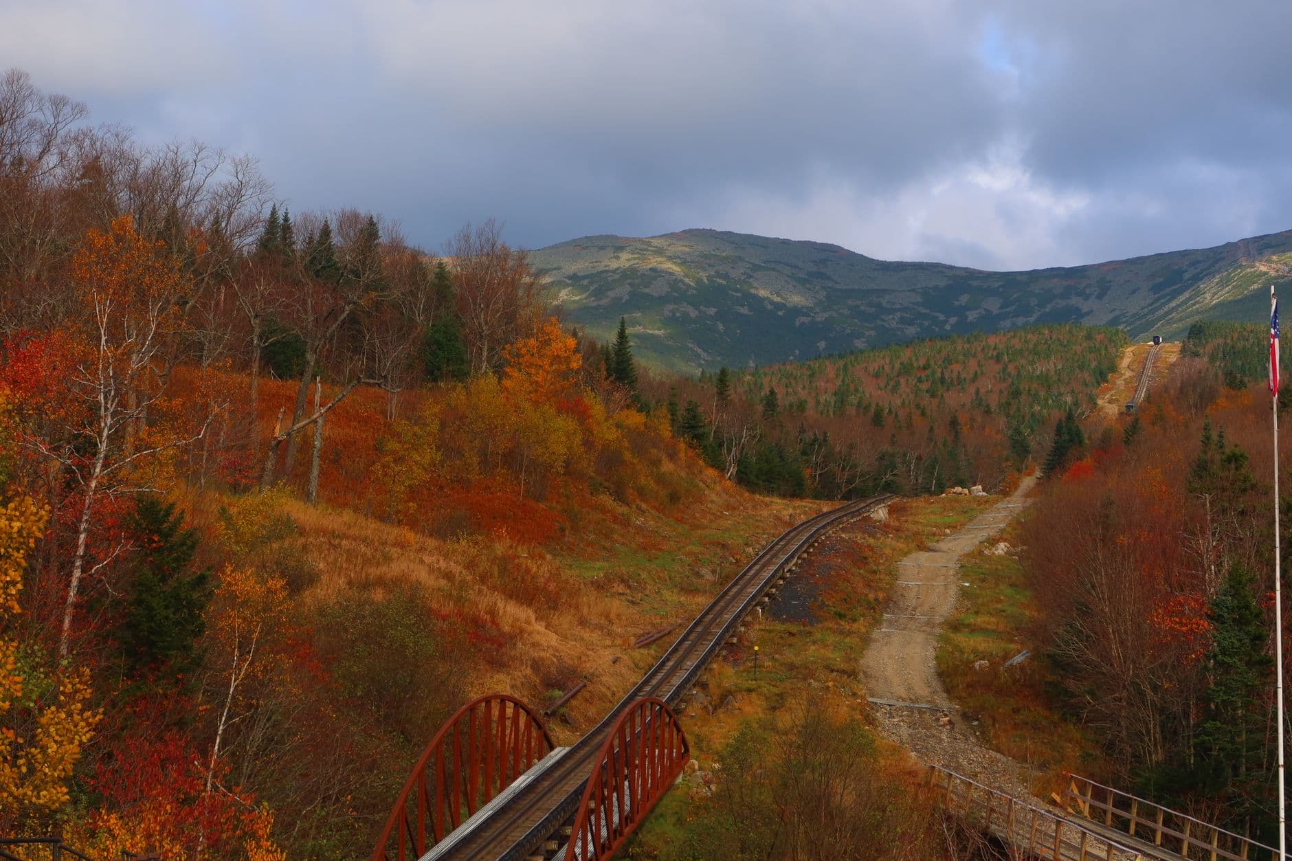
This is the day's centerpiece—New England's highest peak and a place where the wind alone tells you why the mountain has a fearsome reputation. For a teen family, the Auto Road drive-up or Cog Railway ride is the smart call over a full summit hike: roughly 2-3 hours door to door, with all the payoff of standing at 6,288 feet and none of the exposure risk of an all-day trail assault. Book tickets in advance—clear summer days sell out fast—and dress for genuine cold at the top even if the valley was warm at breakfast. If the forecast looks unstable, treat the summit attempt as optional and lean on the Cog Railway as the weather-safe choice.
The day begins with a quiet pass through Crawford Notch, the Saco River's roar setting an adventurous tone before the bigger climb ahead. It's a short stop, more punctuation than main event, but the granite walls and possible summit reflection in Saco Lake make it worth the ten-minute pause.
The energy ramps up considerably at Mount Washington, where the family trades notch scenery for genuine alpine drama. Whether by Auto Road or Cog Railway, reaching the summit is the trip's high point, literally and figuratively—thin air, roaring wind, and views that stretch across layered ridgelines in every direction. Keep the visit tight per the with-kids pacing (roughly 2-3 hours) rather than lingering into the more crowded, weather-riskier afternoon hours.
With no dining data available for this cluster, plan to head back toward town for the evening meal—North Conway or the Mount Washington Valley area offers casual options for a well-earned dinner. After a physically and mentally full day, an early, low-key evening works best, letting everyone recover before the more relaxed Kancamagus day ahead.
Day 3: Forest Canopy and Cool Water: The Kancamagus
A lighter, restorative final day cruising the Kancamagus Highway with waterfall stops and river swimming, covering roughly 2-3 miles of easy walking at a relaxed pace.
Ease into the final day with the Kancamagus at its quietest—crisp air pouring through open windows, towering spruce and birch lining a road so photogenic it's practically a New England postcard. Aim for the Sabbaday Falls pullout first, an easy path to a tiered waterfall that rewards minimal effort, then continue toward the mile 20-25 overlooks for wide valley vistas. Arriving before 10am means avoiding the worst of the pullout congestion that builds through midday.

Shift from driving-and-looking to a lower-effort trail-and-swim combination near the Lower Falls area, where forest canopy frames tumbling water and flat rocks invite a picnic or a cooling dip. This is the built-in teen autonomy moment—there's enough space here for older kids to explore a bit independently along the riverbank while parents relax nearby. It's also the day's gentlest stretch, a deliberate contrast to yesterday's alpine intensity.
The final day opens gently, trading yesterday's high-stakes alpine ambition for the unhurried pleasure of a forest drive. Sabbaday Falls delivers an easy payoff early, and the wide valley overlooks further along the highway offer a last long look at the ridgelines that have framed the whole trip.
The pace slows further at Lower Falls, where cool water and flat rocks invite a swim or a picnic lunch in dappled shade. This is the trip's most relaxed stretch, purpose-built to let teens wander a little on their own and let parents simply sit by the river for a while.
With no dining data tied directly to this cluster, plan the last dinner back in North Conway or Lincoln, where the wider range of casual, family-friendly restaurants makes for an easy final night. Wrap the trip with something low-key—ice cream, a short stroll through town—letting three days of mountain air and river water settle in before the drive home.
Want to tweak this trip?
Our AI planner can customize this itinerary to your exact dates, interests, and travel style.
Customize This ItineraryRestaurant details (hours, menus, availability) change frequently. Check current hours before visiting, especially in seasonal destinations.
Dietary compatibility tags are general guidance. If you have severe allergies, confirm directly with the restaurant.
Travel tips are general guidance, not professional safety advice. Check government advisories for latest information.
All prices are approximate and may vary seasonally.