El Paso area, Texas
3-Day Itinerary for Solo Traveler
“Desert Peaks & Ancient Stone: 3 Solo Days in El Paso”
The Franklins rise straight out of the city grid like a held breath, all rust-colored rock and creosote-scented air, while forty minutes east the desert goes quiet and strange at Hueco Tanks, where handprints from centuries past still mark the boulders. This is a trip for slow mornings, solo trailheads, and the particular satisfaction of eating well in a border town that treats food like ceremony.
At a Glance
Highlights
- Sunrise switchbacks above El Paso with the city fading into haze
- A scenic desert drive through red-rock canyon walls at golden hour
- 800-year-old petroglyphs hidden in Chihuahuan Desert boulders
- Quiet state-park trails perfect for solo pacing and reflection
- Borderland dining where solo travelers eat well at the counter
- Spring wildflowers threading through creosote and juniper
Day-by-Day Plan
Day 1: Settling In: First Light on the Franklins
A gentle, low-key day of acclimating to altitude and desert light with one moderate hike and easy scenic driving, covering roughly 3 miles on foot.
Ease into the trip here rather than diving straight into a summit push — the scenic drive and short walks let you adjust to the high-desert air without overexerting on day one. Creosote and acacia perfume the breeze, and the main overlook delivers a first, unhurried view of El Paso's skyline fading into haze. Arrive by 8am and you'll likely have the pullouts to yourself; by mid-morning weekend traffic starts trickling in.
A shorter loop today rather than a full summit push — the point is to feel the scale of the park without pushing too hard on arrival day. The silence up here is profound, broken only by boots on rocky switchbacks and the occasional raven call; distant city sprawl gives way to nothing but rock and sky. Solo hikers should stick to the more trafficked Tom Mays-adjacent trails today, saving the longer ridgelines for when you're acclimated.

The day opens gently with a scenic drive through Tom Mays Park, creosote-scented air still cool from the night, and a wide first look at El Paso spread out below the mountains. There's no rush here — this is about letting your body adjust to the elevation and the high-desert light before anything more strenuous.
A short, manageable loop inside Franklin Mountains State Park follows, chosen deliberately over the longer summit trails to keep day one light. The silence between switchbacks is almost startling after a busy travel day, and by early afternoon you'll have earned a slow, unhurried return to town.
Evening is left open and easy — settle into your neighborhood, grab a low-key meal nearby, and let the desert quiet set the tone for the days ahead. Solo travelers will find this an easy night to wander a walkable area and get oriented before the more active days to come.
Day 2: Ridge to Ridgeline: A Full Day in the Franklins
A more ambitious hiking and scenic-driving day through Franklin Mountains SP and McKelligon Canyon, covering an estimated 5 miles on foot with high energy output.
This is the day for the real ascent — arrive by 7:30am and the upper switchbacks are yours alone, alpenglow catching the ridgelines before the desert heat builds. The scrape of boots on rock, the scent of juniper warming in early sun, and the sudden reveal of the Tom Mays summit overlook make this one of the best solo sunrise hikes in the region. By 9am, weekend hikers start arriving in numbers, so the early start is non-negotiable for solitude.
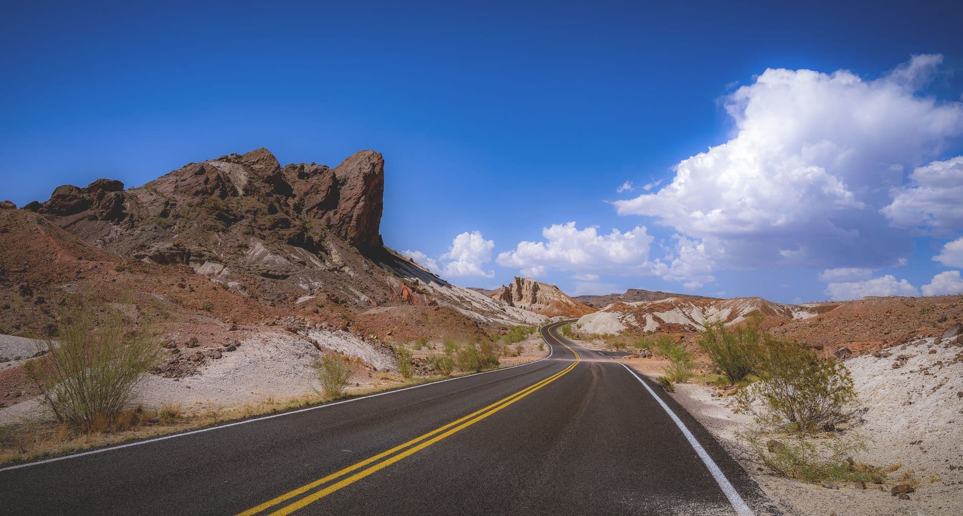
After the exertion of the morning climb, this scenic drive offers a deliberate change of pace — red-rock cliffs rise close enough to touch as the road winds through switchbacks, with pullouts for short walks and geological signage. It's a good stretch to talk to fellow travelers at overlook pullouts, since the slower pace invites casual conversation. Lizards skitter across sun-warmed stone and ravens call from the canyon walls, a quieter counterpoint to the morning's effort.
Today starts before the sun fully clears the ridgeline, climbing into Franklin Mountains State Park while the air is still cool and sharp with juniper. The upper switchbacks reward early risers with near-total solitude and alpenglow catching the peaks — a genuinely solo-friendly high point of the trip, with silence broken only by wind and the occasional distant hiker.
The pace shifts noticeably after the climb — McKelligon Canyon Road offers a slower, seated exploration of the same mountain range from a different angle, with red-rock walls rising close on either side. It's an easy stretch to strike up conversation with other travelers pulled over at the same overlooks, a nice social counterpoint to the solitude of the morning hike.
With legs tired and light fading, evening is best kept simple — a relaxed dinner in town and an early night to recover before tomorrow's longer excursion out to Hueco Tanks. Solo travelers should hydrate well after the day's elevation gain and sun exposure.
Day 3: Into the Desert Quiet: Hueco Tanks
A full-day excursion 32 miles northeast to Hueco Tanks State Park for petroglyph viewing and moderate hiking, covering roughly 4 miles with moderate energy demands.
Arrive early — by 8am you'll beat both the crowds and the growing midday heat, and the West Tank petroglyphs catch beautiful low-angle light at sunrise. Running your palm near (not on) 800-year-old handprints etched into rust-colored boulders is a quietly profound solo experience, and the surrounding silence — broken only by wind through canyon walls — makes this feel worlds away from the city 32 miles behind you. Note that some areas require advance reservations or a guided tour due to visitor caps, so confirm access before driving out.
Continue deeper into the park toward North Tank for a change of vista — desert valleys stretching out below, boulders framing petroglyphs against an open sky. This is a good stretch for solo photographers, since the moderate crowds here mean space to linger without feeling rushed, and it's common to fall into conversation with fellow hikers comparing notes on which boulders hold the best-preserved markings.
The desert opens up differently at Hueco Tanks — quieter, starker, and layered with centuries of human history etched directly into the stone. Arriving early means near-solitude at the West Tank petroglyphs, sunrise light catching the ancient handprints and animal figures in a way that midday visitors simply won't see.
The pace eases into a longer, more contemplative walk toward North Tank, where desert valleys unfold below sun-warmed boulders. It's a naturally social stretch of the park — other hikers pause at the same vistas, and conversation tends to happen without much effort, a fitting close to a solo trip built around quiet landscapes and unexpected company.
The drive back into El Paso as afternoon light softens is a good moment to reflect on three days spent between mountain ridgelines and ancient desert stone — wind down with an easy dinner in town before an early night, or a last unhurried walk through a walkable neighborhood to close out the trip.
Want to tweak this trip?
Our AI planner can customize this itinerary to your exact dates, interests, and travel style.
Customize This ItineraryRestaurant details (hours, menus, availability) change frequently. Check current hours before visiting, especially in seasonal destinations.
Dietary compatibility tags are general guidance. If you have severe allergies, confirm directly with the restaurant.
Travel tips are general guidance, not professional safety advice. Check government advisories for latest information.
All prices are approximate and may vary seasonally.