Bitterroot Valley (Hamilton, Darby), Montana
4-Day Itinerary for Solo Traveler
“Alone Among Peaks: Four Winter Days in the Bitterroot Valley”
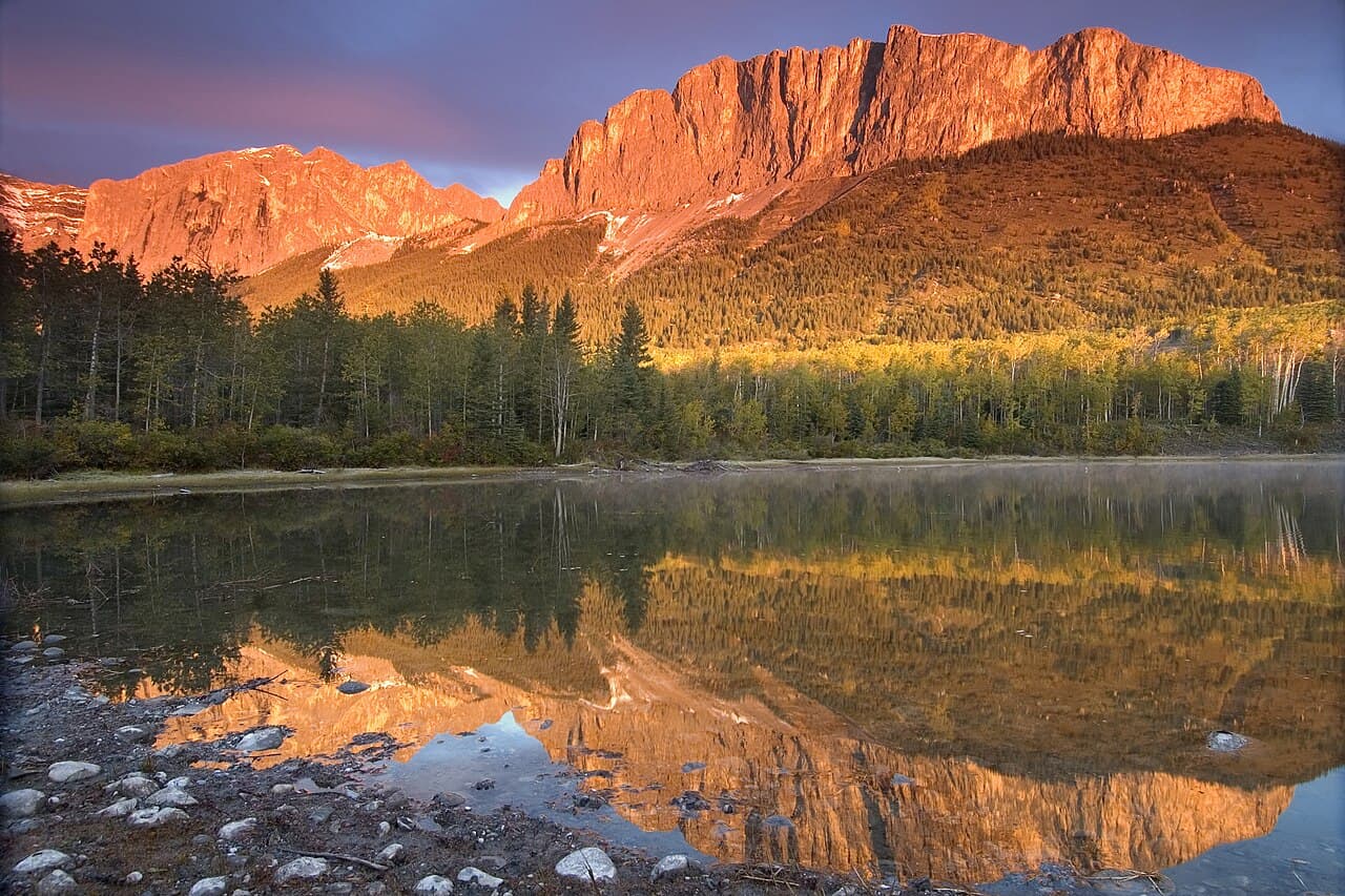
Winter strips the Bitterroot Valley down to its bones — bare cottonwoods, snow-hushed pastures, peaks gone white and severe against a pale sky. This is a trip for travelers who like their solitude literal: short days, cold clean air, and towns quiet enough that the person pouring your coffee remembers your order by day two.
At a Glance
Highlights
- Frozen hush over Lake Como's granite-rimmed shoreline
- Wide, empty forest roads winding into the Bitterroot high country
- Sandhill cranes and eagles working the wetlands at Lee Metcalf
- Hamilton's walkable, lamp-lit main street on a cold evening
- Solo-friendly bar seating where locals actually talk to strangers
- Skalkaho Pass scenic detour framed in snow-heavy timber
- Early-morning solitude at nearly every stop on this route
Day-by-Day Plan
Day 1: Settling In: Frozen Water and a Quiet Main Street
A gentle half-day easing into valley time with a short, low-energy visit to a snow-rimmed Lake Como followed by an evening exploring Hamilton's compact, walkable downtown — total walking under 2 miles.
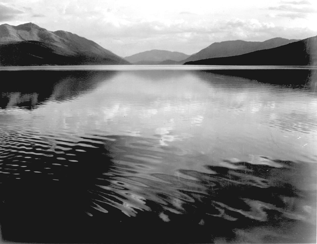
In winter, Lake Como turns still and pale, its edges rimmed with ice and its usual summer chatter replaced by total quiet — just wind through bare pine and the occasional crack of shifting ice. Arrive early afternoon when the low winter sun angles across the water and the surrounding peaks glow faintly pink; you'll likely have the shoreline entirely to yourself, which for a solo traveler on a short winter day feels less lonely than restorative. The flat, accessible path makes this an easy first stop after travel — no technical footing, just cold air and long views.
By evening, swap the lake's stillness for Hamilton's small grid of lit storefronts and easy walkability — this is the kind of town where a solo traveler can wander without a map and end up somewhere warm and welcoming within ten minutes. Winter darkness falls early here, so the string-lit main street feels cozier than desolate, and dinner at a bar counter is the easiest way to fall into conversation with a local who's happy to talk trail conditions or fishing reports.
Day one is built around arrival, not ambition — expect the morning to be consumed by the drive down from Missoula, roughly 90 minutes of winding, scenic US-93 south with the Bitterroot Range building steadily on your right. Take it slow; winter roads reward patience, not speed, and there's no reason to rush into the afternoon.
The early afternoon belongs to Lake Como, a soft landing after travel — flat paths, cold clean air, and a lake gone quiet and mirror-still under winter light. This is deliberately low-effort: no long hike, no crowds, just enough movement to shake off the drive before the light starts to fade around 4:30pm.
As dusk settles, head into Hamilton itself for dinner and a slow walk down Main Street. The town's rhythm is unhurried and the pace forgiving for a solo traveler still finding their bearings — grab a seat at a bar counter, let the evening wind down early, and save your energy for the bigger day ahead in Bitterroot National Forest.
Day 2: Into the High Country: Bitterroot National Forest
A full, high-energy day exploring the vast Bitterroot National Forest with scenic driving and moderate winter trail walking, covering roughly 4–5 miles on foot across the day.
Arrive at the forest by 8:30am and the lower-elevation trails and pullouts are yours alone — no other cars in the lot, no voices carrying through the trees, just the creak of frozen creeks and wind moving through lodgepole pine. Stick to lower-elevation, snow-packed trails and scenic pullouts rather than alpine routes, which turn genuinely hazardous in winter; the reward is still enormous scale — jagged peaks rising white against a hard blue sky, the kind of remoteness that's rare and valuable for a solo traveler seeking real quiet. Tell someone your route before you go, carry a charged phone, and treat bear spray as a habit even in winter.
After a midday break, use the afternoon for the scenic Skalkaho Pass driving loop rather than a second hike — a wise pacing choice that avoids stacking two demanding walks back to back. The road climbs through dense, snow-laden forest with occasional wide pullouts revealing the full sweep of the Bitterroot divide; drive slowly, stop often, and treat this as a rolling photography session rather than a race to a destination. Winter light fades fast here, so plan to be heading back toward Hamilton by 3:30–4pm at the latest.
Today shifts into the trip's main event: real immersion in Bitterroot National Forest's 1.6 million acres of peaks and pine. Arrive early to claim the trailhead in total solitude, and keep to lower-elevation, well-marked trails given winter conditions — the goal is depth of quiet, not summit bagging. Pack lunch and extra layers; there's no reliable dining infrastructure this deep into the forest, so plan your meals around Hamilton rather than the trailhead itself.
After refueling, the pace shifts from foot-powered exploration to a slower, car-based scenic loop via Skalkaho Pass — a deliberate change of rhythm that keeps the day varied rather than repetitive. The forest closes in tight around the road, snow-heavy and silent, broken only by occasional wide overlooks worth pulling over for.
Head back into Hamilton as the light fails, tired in the good, day-well-spent way that alpine air produces. Keep dinner simple and early given the valley's early-closing rhythm, and consider a warm, communal spot where a solo traveler can decompress at a bar counter rather than an empty table.
Day 3: Wetlands and Wingbeats: Lee Metcalf Refuge
A moderate-energy day centered on the quieter, valley-floor wetlands near Darby, with light walking (roughly 2–3 miles) and strong wildlife-watching potential.
Winter mornings at Lee Metcalf are quiet even by the refuge's already-quiet standards, but that stillness sharpens the senses — the call of overwintering eagles carries far across frozen wetland, and every footstep on frosted grass sounds louder than it should. Arrive by 8am for the best light and best odds of wildlife activity; the auto tour route and viewing platforms offer good sightlines without demanding technical walking, making this an easy, contemplative morning well-suited to a solo traveler moving at their own pace.

Extend the visit with a slower loop along the ridge trail, where the view opens to frame the full wetland against the Bitterroot Mountains beyond — a genuinely striking composition in winter's clear, cold air. This is a good stretch to simply sit at one of the sparse benches, let the cold settle in, and watch for movement rather than actively seeking it; sandhill cranes and raptors reward patience more than pace.
Today's rhythm slows considerably compared to yesterday's forest immersion — a deliberate contrast that avoids stacking two high-energy days back to back. The refuge's wetlands feel almost otherworldly under winter frost, and the short drive down toward Darby offers a scenic, low-traffic warmup for the day.
After the ridge trail loop, ease into early afternoon with lunch in Darby before a light, unstructured stretch of free time — browse the small outpost town, rest legs after two active days, or simply sit somewhere warm with a coffee and let the trip's pace catch its breath.
With Darby's rhythm even quieter than Hamilton's, plan an early, simple dinner and an early night; tomorrow's final day revisits Hamilton's downtown for a slower, reflective close to the trip, and the short winter daylight rewards those who don't fight the dark.
Day 4: Last Light on Main Street
A light, low-mileage final day (under 2 miles walked) revisiting Hamilton's downtown for unhurried wandering before departure.
Return to Lake Como for one more quiet morning before departure — a bookend to Day 1 that lets you notice how differently the light falls this early versus at dusk. With no rush and no itinerary pressure, this final visit is about lingering: watching mist lift off the ice, listening to the particular silence of a frozen alpine lake, and taking the unhurried photographs you may have skipped on arrival day.
Spend the late morning and early afternoon back in Hamilton's downtown, this time without the fatigue of a travel day clouding the experience — browse the galleries and shops properly, pick up any last gifts, and take a slower lap of the streets you passed quickly on Day 1. It's a fitting, gentle close: the same small-town warmth that welcomed you now sends you off.
The final day loops back to where the trip began, a deliberate return to Lake Como for a calmer, more attentive visit now that the valley's rhythm feels familiar rather than foreign. There's no agenda beyond noticing — the frozen shoreline, the particular quality of morning light, the quiet that no longer feels unfamiliar.
Back in Hamilton, the pace stays unhurried: a proper wander through downtown shops and galleries, lunch somewhere easy, and time to simply sit with how the valley's cold, clear solitude has shifted the trip's mood since Day 1.
Departure timing will dictate the evening, but if there's time before the drive back to Missoula, a final unhurried coffee or early dinner in Hamilton makes for a warm, low-key send-off before the 90-minute drive north to catch a flight out of MSO.
Want to tweak this trip?
Our AI planner can customize this itinerary to your exact dates, interests, and travel style.
Customize This ItineraryRestaurant details (hours, menus, availability) change frequently, especially in seasonal mountain towns. Check current hours before visiting.
Dietary compatibility tags are general guidance. If you have severe allergies, confirm directly with the restaurant.
Travel tips are general guidance, not professional safety advice. Check current road conditions and government advisories before winter travel in mountain terrain.
All prices are approximate and may vary seasonally.