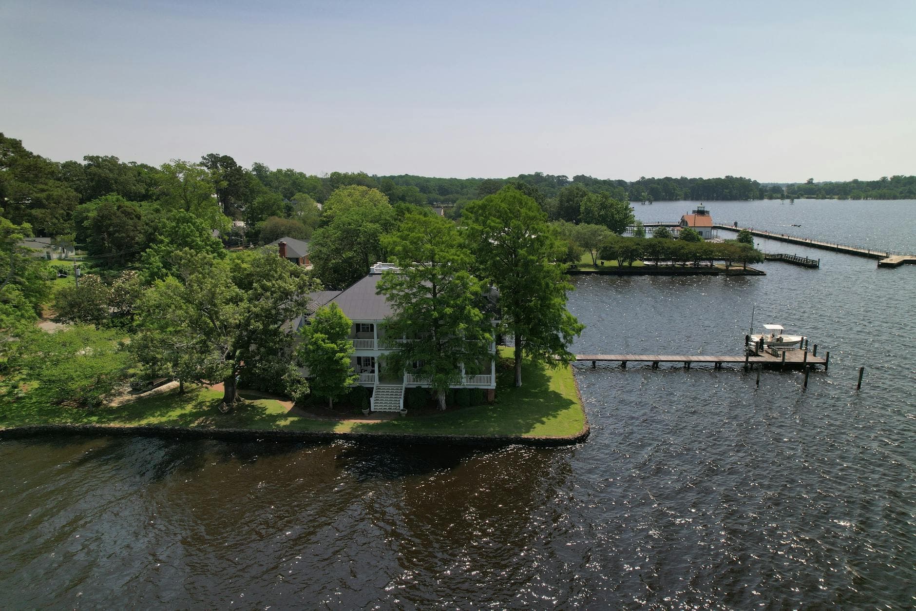
Great Smoky Mountains (NC side), North Carolina
3-Day Itinerary for Couples
“Mist, Elk, and High Ridges: 3 Days in the Smokies”
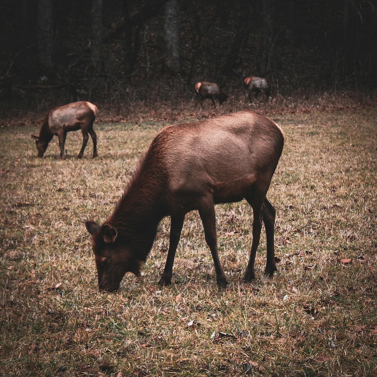
Mist pools in the valleys here the way it has for ten thousand years, curling around wild elk and old chestnut fences alike. This is a corner of the Smokies where spring arrives slowly — wildflowers pushing through leaf litter, waterfalls swollen with snowmelt — and where two people willing to rise early will find whole mountainsides entirely their own.
At a Glance
Highlights
- Dawn elk-watching in a valley that feels lost in time
- Standing above the clouds at the highest point on the Appalachian Trail
- The thunder and mist of Laurel Falls up close
- 140-year-old grain mill still turning on creek power
- 31 miles of ridge-line curves along Newfound Gap Road
- Quiet Cherokee heritage at the park's southern gateway
- Golden-hour light over blue-hazed ridges
Day-by-Day Plan
Day 1: Arrival and the Valley of Elk
A gentle first day centered on Cataloochee Valley's wild elk and pastoral quiet, with under 2 miles of easy walking.
Arrive while the valley still wears its mist like a blanket — this is when the elk are most active and the gravel road belongs to almost no one else. Watch tawny shapes drift through the grass near Caton Cove Road, listen for the low bugle of a bull elk, and let the cool, damp air and scent of rhododendron settle you into mountain time. For couples, this quiet, unhurried wildlife encounter is one of the most romantic openings to a Smokies trip.
The road into Cataloochee Valley is a slow, winding descent into stillness — you'll want to roll the windows down even in the chill, letting the cool air and birdsong announce that you've truly left the highway behind. Elk graze unhurried in the pastures, indifferent to your presence as long as you keep your distance, and the whole scene feels suspended in an earlier century.
With the morning's wildlife-watching behind you, ease into the afternoon with a slow return drive back toward your lodging, stopping wherever the valley opens into wide meadow views. This is a day built for recovery from travel — resist the urge to pack in more, and let the valley's quiet set the pace for the days ahead.
Settle into your chosen base — Waynesville, Cherokee, Bryson City, or Maggie Valley — for a relaxed dinner and an early night. Since specific dining data wasn't available for this immediate area, plan your evening meal around whichever town you're staying in rather than the valley itself; most kitchens close by 8pm, so aim for an early reservation.
Day 2: Above the Clouds on Clingmans Dome
A moderately active day combining high-elevation summit views with a scenic ridge-line drive, totaling roughly 3 miles of walking.
Climb toward the sky while the world below is still asleep — arrive by 7am and the observation tower is yours alone, the wind biting and clean with the scent of fraser fir. Above the cloud layer, Tennessee and North Carolina blur into one another in every direction, and the silence up here has a texture you can almost touch. This is the trip's obvious splurge moment: not in money, but in effort and elevation, rewarded with the most cinematic view of the entire journey.

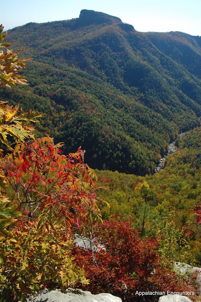
Descend slowly along 31 miles of ridge-hugging curves, pulling off at overlooks as the mood strikes — this drive itself is the experience, not just the route to one. At the Newfound Gap overlook, straddle the Tennessee-North Carolina state line and take in layers of blue-hazed ridges stretching to the horizon, a view made for two people with nowhere else to be.

The drive up to Clingmans Dome unfolds in the dark, then the grey, then suddenly the gold — a slow reveal that rewards patience and an early alarm. By the time you reach the summit trail, your breath comes a little harder in the thin air, and the effort makes the view from the tower feel earned rather than given.
As the morning's chill burns off, the pace shifts to something more leisurely: a scenic drive with the windows cracked, stopping wherever a pull-off catches your eye. This is a day for lingering rather than checking boxes, letting the ridge-line views wash over you at whatever speed feels right.
With no specific restaurant data available directly along this route, plan for a relaxed dinner back in town — Waynesville and Bryson City both offer the kind of home-style Appalachian comfort food this region is known for. Choose a spot with a slower rhythm to match the day, and let conversation linger over the mountain views you've just witnessed together.
Day 3: Rivers, Mills, and Falling Water
A lighter final day pairing cultural gateway sites with a moderate 2.6-mile round-trip waterfall hike, closing the trip on a note of intimacy.
Begin at the river valley where Cherokee ancestral lands meet the mountains — mist still rising off the Oconaluftee River at this hour, the air carrying the earthy scent of hemlock and rhododendron. Arriving before 8am means the overlook is quiet enough to hear only the water, a fitting gentle start to the day's final stretch.

Feel the ground hum faintly as the water wheel turns, grinding corn the same way it has for 140 years — the smell of fresh-ground grain mixing with cool mist off the millrace. It's a quiet, tactile counterpoint to yesterday's summit views, intimate in scale and unhurried in pace.

Climb gently through old-growth hemlock as the distant roar of water grows louder with every switchback, moss soft underfoot and spring wildflowers pushing up along the trail edges. The falls themselves arrive almost suddenly — cascading white water framed by towering trees — and the spray in the air feels like a fitting, romantic close to a trip built on quiet, elemental beauty.
The day opens gently at the river's edge, mist still lifting off the water as the valley wakes slowly around you — a soft, unhurried start that contrasts nicely with yesterday's early summit push. From there, the short walk to Mingus Mill offers something tactile and historic, the rumble of the water wheel a grounding, human-scaled counterpoint to the vastness of the mountains.
The pace shifts toward gentle exertion as you climb toward Laurel Falls, moss and wildflowers lining the trail while the sound of falling water builds ahead of you. It's a lighter hike than the summit trek, well suited to closing out the trip without exhausting either of you before the drive home.
For your final evening, keep things simple and unhurried — a casual dinner near the gateway lets you replay the trip's highlights without rushing. Whether you choose something quick like pizza or wander into town for a heartier option, let the evening close slowly, the way the whole trip has unfolded.
Want to tweak this trip?
Our AI planner can customize this itinerary to your exact dates, interests, and travel style.
Customize This ItineraryRestaurant details (hours, menus, availability) change frequently. Check current hours before visiting, especially in seasonal destinations.
Dietary compatibility tags are general guidance. If you have severe allergies, confirm directly with the restaurant.
Travel tips are general guidance, not professional safety advice. Check government advisories for latest information.
All prices are approximate and may vary seasonally.
Attractions in This Itinerary
More Itineraries for Great Smoky Mountains (NC side)
Explore North Carolina