Great Smoky Mountains (TN side), Tennessee
2-Day Itinerary for Solo Traveler
“Mist, Meadows & Mountain Air: Two Solo Days in the Smokies”
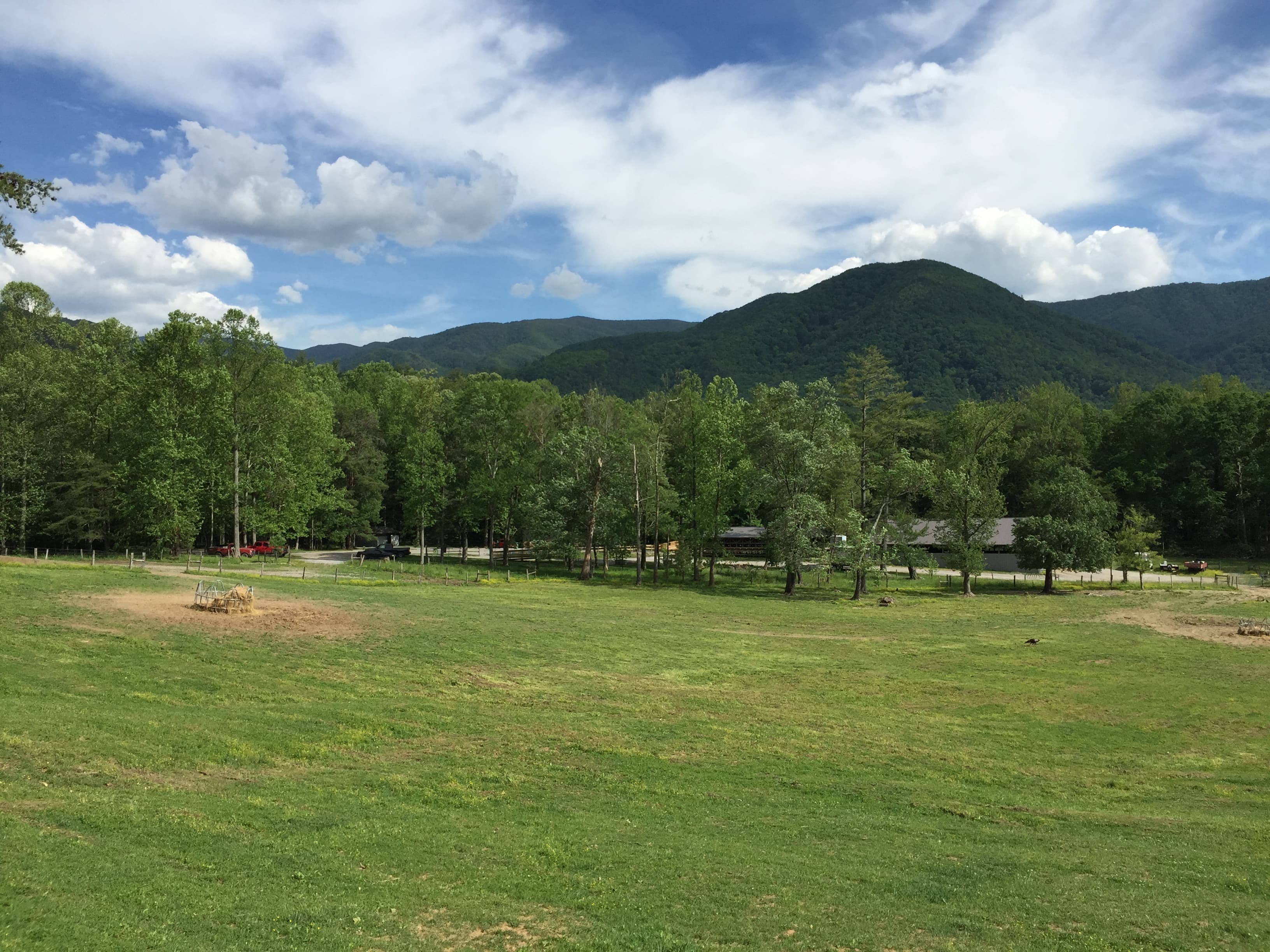
Spring in the Smokies means wildflowers pushing through leaf litter, mist pooling in the valleys at dawn, and a mountain quiet that rewards anyone willing to rise early and walk slow. This two-day loop moves from the pastoral hush of Cades Cove to the wind-scoured ridgeline at Newfound Gap, built for a solo traveler who wants solitude on the trail and easy company at the dinner table.
At a Glance
Highlights
- Sunrise mist over Cades Cove's historic cabins
- Wildlife watching along the 11-mile loop road
- Standing at 5,048 feet where two states meet at Newfound Gap
- Hiking through hemlock cathedrals to Alum Cave's stone shelter
- Wildflower blooms along Laurel Falls' cascading trail
- Solo-friendly pacing with built-in rest and photography time
Day-by-Day Plan
Day 1: Valley Light and Slow Wandering
A gentle, low-mileage day centered on Cades Cove's loop road and the quiet Chimneys picnic area, easing into the park's rhythm without demanding trail legs yet.
Arrive while mist still clings to the ridgelines and the loop road is nearly empty — this is when white-tailed deer graze unbothered at the meadow's edge and the John Oliver Cabin glows amber in low light. Drive the 11-mile loop slowly, windows down, letting the quiet do its work; by 9 AM the tour traffic starts to build, so this early window is yours. Solo travelers often find easy conversation at the pull-offs, where fellow early risers compare wildlife sightings.
A short, unhurried stop at the stone chimney ruins — what's left of a 19th-century homestead, framed by open pasture and distant ridgelines. It's quiet even in peak season, a good spot to eat a packed lunch on a rock and let the morning's walking settle before the afternoon.

The valley wakes slowly, mist pooling low over the pasture as the loop road curls past weathered cabins and the white steeple of the Methodist church. Deer graze at the tree line, unfazed by the occasional car, and the only sound is birdsong and the crunch of gravel underfoot at the John Oliver Cabin pull-off. This is the Smokies at their most unhurried — a fitting way to ease into the trip without demanding much of tired travel legs.
By midday, the pace softens further at the Chimneys picnic area, where crumbling stone ruins sit against open meadow. It's a place to sit, eat, and let the morning's driving settle — no trail commitment required, just quiet reflection on the families who once called this valley home.
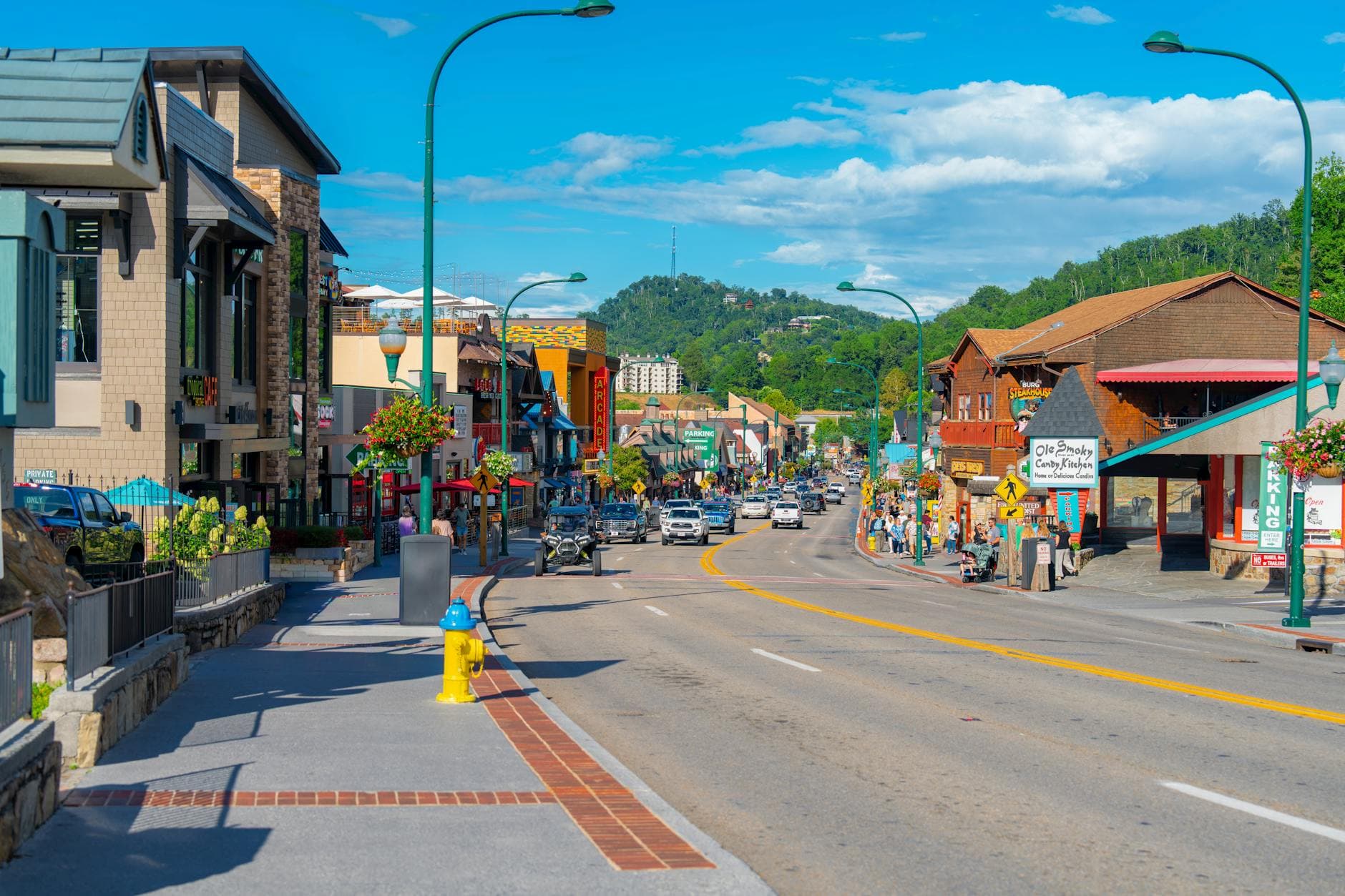
Head back toward your base in Gatlinburg or Townsend as afternoon light softens over the ridgelines; keep the evening easy with a low-key dinner in town and an early night, since tomorrow's climb to Newfound Gap and the Alum Cave trail asks more of your legs.
Day 2: Ridge Line to Waterfall: A Day of Elevation and Descent
A more active day climbing to Newfound Gap's panoramic overlook, hiking the hemlock-shaded Alum Cave Trail, then descending to the accessible eastern valleys for Laurel Falls, totaling roughly 5.5 miles of walking.
Arrive early to catch the gap before the midday crowds settle in — at 5,048 feet, the air is thin and cool, and on a clear spring morning the layered ridgelines roll out blue into haze in every direction. Stand at the Rockefeller Memorial where the park was formally dedicated, one foot in Tennessee and one in North Carolina. Solo travelers frequently strike up conversation here with fellow early-morning photographers waiting for the light.

This trail is the day's centerpiece — a climb through ancient hemlock groves where the light filters green and dappled, leading to a dramatic stone overhang at Alum Cave Bluffs with sweeping ridgeline views. Starting by 8:30 AM means the forest is still hushed, hikers sparse, and the cave's interior light hasn't yet flattened under midday sun. It's a rewarding, moderately strenuous solo hike — well-trodden enough to feel safe, remote enough to feel earned.
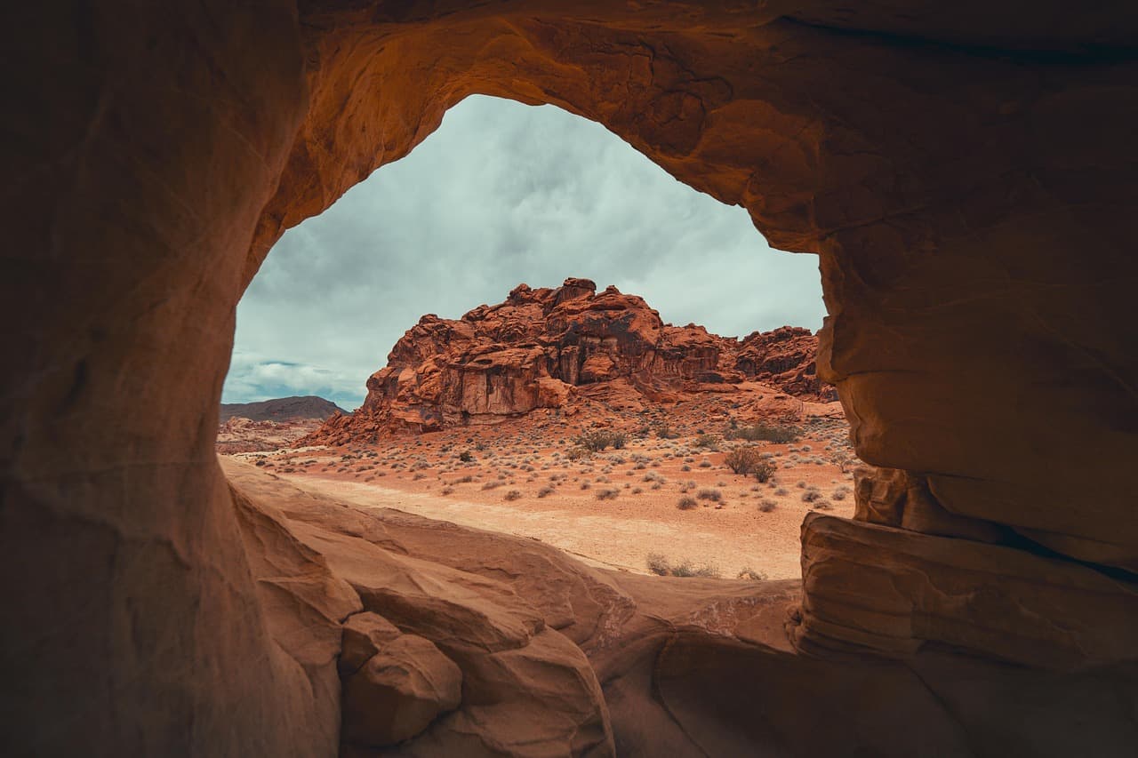
A lighter, cooler-toned contrast to the morning's climb — the 2.6-mile roundtrip to Laurel Falls winds through rhododendron thickets just beginning to bud in spring, ending at a cascading waterfall where mist beads on your skin. Afternoon crowds will be present, but the payoff of cool spray and roaring water after a long morning makes it worth the shared trail.
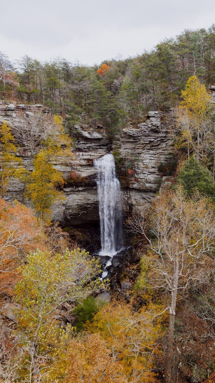
The climb to Newfound Gap arrives like stepping into a different season — cooler, windier, the valley floor's spring warmth replaced by thin mountain air and rolling blue ridgelines. From there, the Alum Cave Trail pulls you into hemlock groves so still they feel cathedral-like, roots and stone underfoot, until the trail opens onto the dramatic overhang of the cave itself, views stretching out beyond the rock.
Descending back toward the valley, the pace shifts from strenuous to reflective at Laurel Falls, where rhododendron-lined trails lead to a cascading waterfall alive with the season's first blooms. The crowd here is thicker than the morning's solitude, but the cool spray and steady roar of water offer a satisfying close to the day's physical effort.
Back in town, let the evening slow down — a hearty Southern Appalachian dinner and an early turn-in suit tired legs well after a day spent climbing ridges and chasing waterfalls. Solo travelers will find gateway towns like Gatlinburg or Townsend easy for a relaxed, low-key end to the trip, with plenty of casual spots where dining solo feels entirely natural.
Want to tweak this trip?
Our AI planner can customize this itinerary to your exact dates, interests, and travel style.
Customize This ItineraryRestaurant details (hours, menus, availability) change frequently. Check current hours before visiting, especially in seasonal destinations.
Dietary compatibility tags are general guidance. If you have severe allergies, confirm directly with the restaurant.
Travel tips are general guidance, not professional safety advice. Check government advisories for latest information.
All prices are approximate and may vary seasonally.