Great Smoky Mountains (TN side), Tennessee
2-Day Itinerary for Solo Traveler
“Mist, Meadows & Ridgelines: 2 Days Solo in the Smokies”
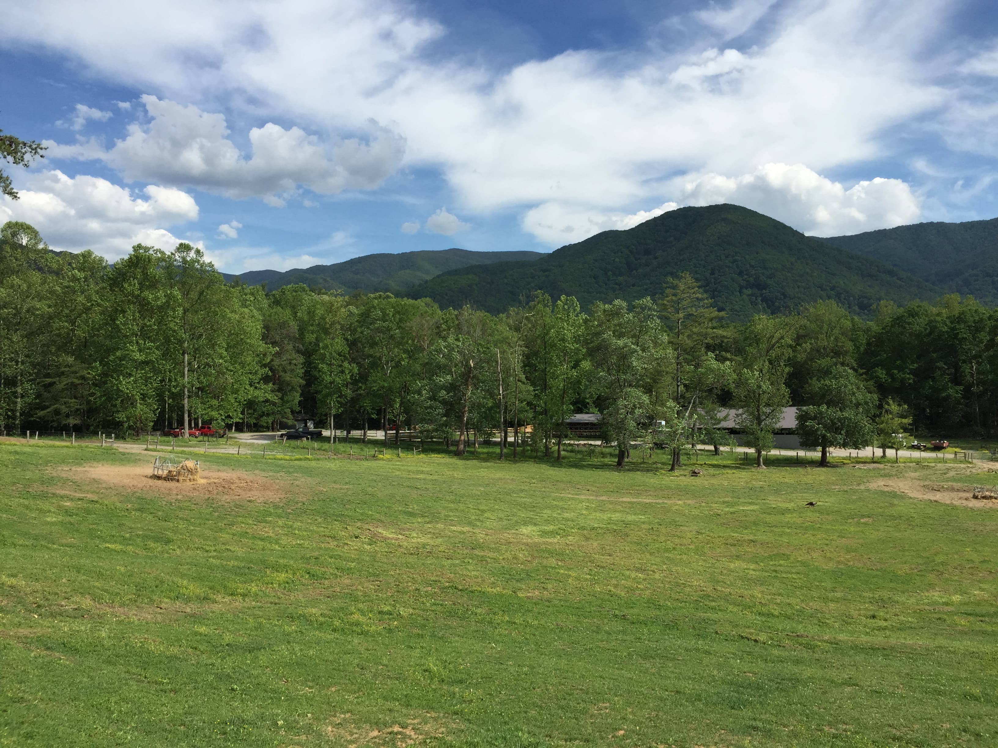
The Smokies exhale mist before dawn even breaks — a low fog that clings to the ridgelines like it's reluctant to leave. Two days here means choosing depth over breadth: one valley steeped in settler history and wildlife, one ridge that climbs into thin, cool air above the haze. Go early, go alone, and the park feels like it was built just for you.
At a Glance
Highlights
- Sunrise wildlife watching along the Cades Cove loop
- John Oliver Cabin wrapped in morning mist
- Standing at 5,048 feet where two states meet at Newfound Gap
- Hiking through hemlock cathedrals to Alum Cave Bluffs
- Golden-hour light on weathered stone chimneys
- Quiet, crowd-free trail starts before 8am
Day-by-Day Plan
Day 1: Valley Light and Wild Things: Cades Cove at Dawn
A gentle orientation day covering roughly 3-4 miles of easy, flat walking through Cades Cove's loop and a short stop at the Chimneys, ideal for settling into park rhythm without overexertion.
Arrive before the gate traffic builds and the 11-mile loop feels like it belongs to you and the deer alone. Mist clings low over the meadow grass, songbirds trade calls across the valley, and the John Oliver Cabin glows amber as the sun clears the ridge. This is prime solo-travel territory — slow enough to wander at your own pace, social enough that you'll cross paths with other early risers at pullouts, often trading bear sightings.
A short, easy stop where two solitary stone chimneys rise from the pasture like punctuation marks on the valley's settler history. It's a quiet pause — good for stretching legs, taking a few detail shots of the weathered stonework, and reading the interpretive signage before the midday heat builds.

Beat the gate traffic and roll into Cades Cove while fog is still burning off the meadow. Deer graze unbothered near the tree line, wild turkeys strut across the road, and if you're lucky, a black bear ambles along a distant tree edge (stay in or near your car if so). The 11-mile loop is one-way and slow-paced by design — pull over often, walk the short paths to the historic cabins and Cades Cove Methodist Church, and let the quiet stretch out. Solo travelers often find good company here simply by lingering at overlooks where others have stopped for the same wildlife sighting.
As the loop traffic thickens toward midday, head to the quieter Chimneys Picnic Area for a short leg-stretch and a look at the weathered stone chimneys standing alone in the pasture — a modest but poignant reminder of the valley's settler past. This is a low-key transition point before the day winds down; pack up any picnic supplies you brought, since dedicated dining options directly at this stop are sparse — plan your main meals around Gatlinburg or Townsend instead.
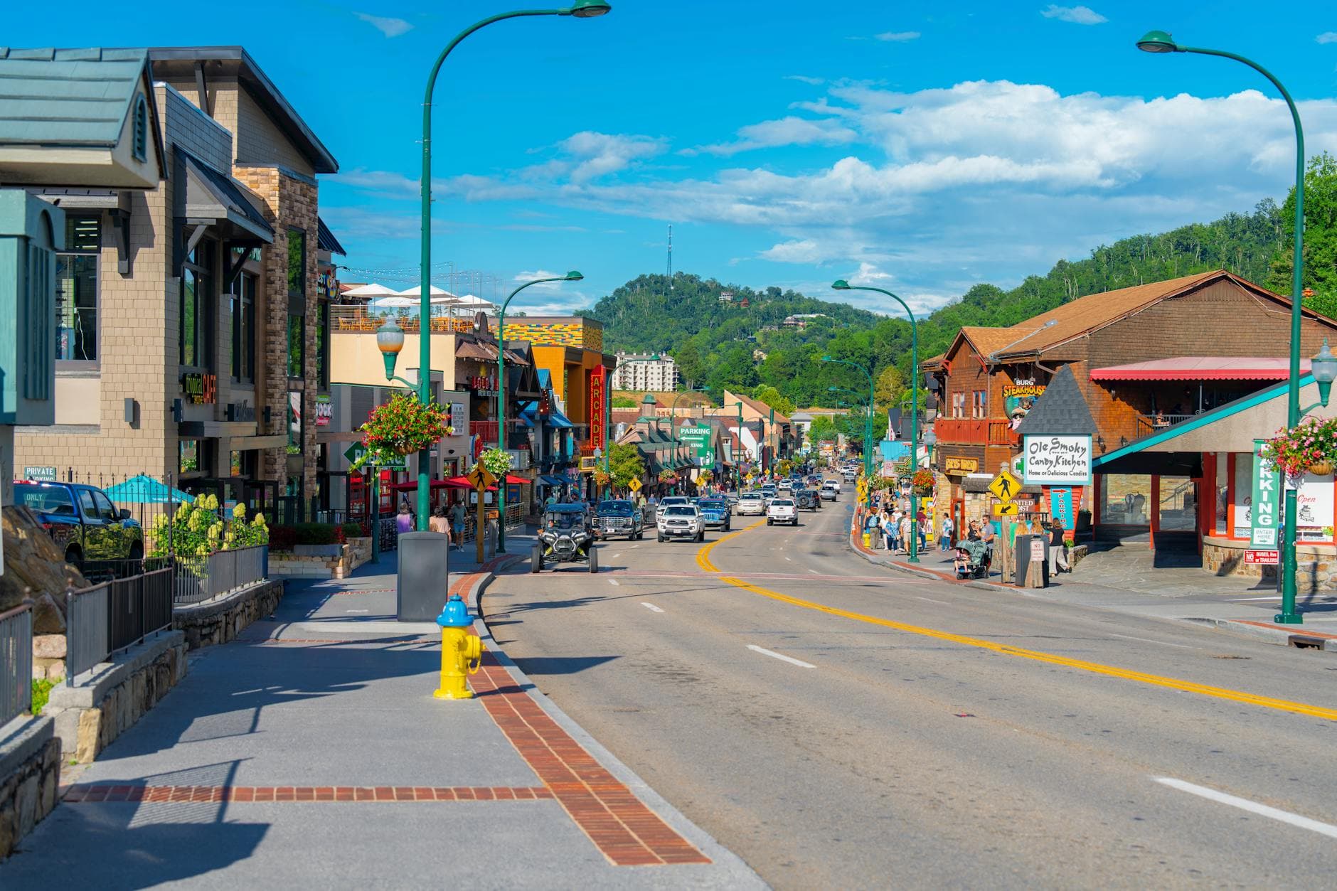
With no confirmed dining data at the day's stops, this is a good evening to head back toward your gateway town of choice — Gatlinburg for variety, Townsend for quiet — and settle in early. Solo travelers should take advantage of communal tables or bar seating wherever they land, a good chance to swap trail notes with other hikers before an early night ahead of tomorrow's ridge climb.
Day 2: Into Thin Air: Newfound Gap and the Hemlock Cathedral
A more demanding day combining a scenic high-elevation stop with a serious 5-mile roundtrip hike on Alum Cave Trail, totaling close to 5.5 miles of walking with significant elevation gain.
Arrive early and the gap feels like the top of the world before the crowds arrive — thin, cool air, wind hissing through spruce and fir, and layers of blue ridges dissolving into haze in every direction. The Rockefeller Memorial marks the literal line between Tennessee and North Carolina; straddle it for the obligatory photo, then take a few quiet minutes at the Appalachian Trail junction before the parking lot fills.

This is the day's centerpiece — a hike through towering, hushed hemlock forest that feels closer to a cathedral than a trail, climbing steadily toward a dramatic overhanging cave shelter with sweeping ridgeline views. Starting by 8:30am means quiet company on the trail and soft, dappled light filtering through the canopy rather than harsh midday glare. It's rated highly for solo travelers — well-trafficked enough to feel safe, but with long stretches of solitude between hiker clusters.
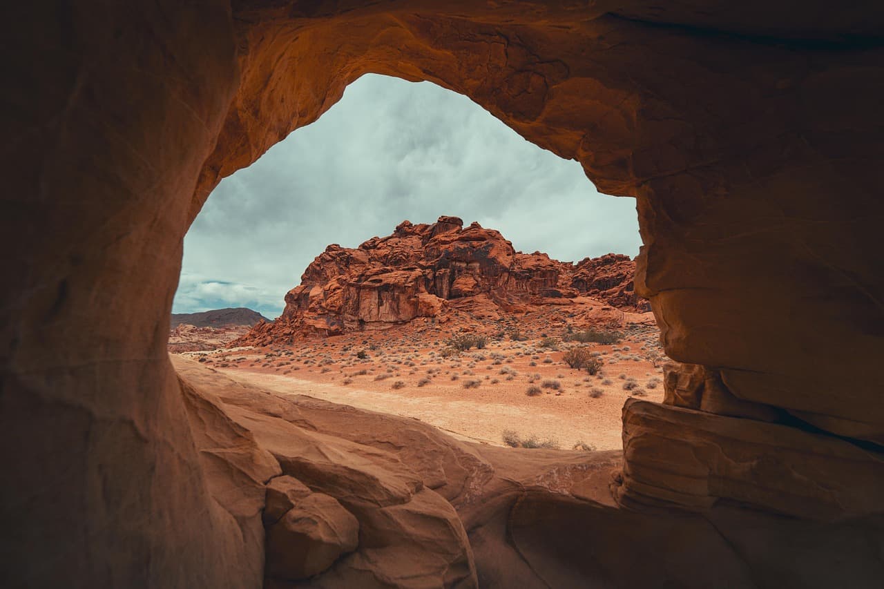
Climb steadily up Newfound Gap Road while the forest changes character around you, arriving at 5,048 feet just as the gap catches early light. Wind moves through the spruce-fir forest with a sound unlike anything in the lower valleys, and on a clear morning the ridgelines roll out in blue layers toward the horizon. Take your photos, stretch, and layer up before the real work of the day begins.
The Alum Cave Trail climbs through ancient hemlock stands that feel almost reverent in their quiet, the trail narrowing and steepening as it approaches the cave shelter. Pace yourself — this is a genuine hike, not a stroll, with rocky, sometimes slick footing, so trekking poles and proper boots matter here. Trail dining options are unmapped in this area, so pack food and water before setting out rather than counting on anything at the trailhead.
With the hike behind you and legs properly tired, head back toward your gateway town for dinner and an early night — communal tables or bar seating are worth seeking out if you want easy conversation after a day mostly spent in quiet company with the forest. This is a fitting close to a Smokies visit: one day spent low in the valley among wildlife and history, the next spent high on the ridge in thin, clean air.
Want to tweak this trip?
Our AI planner can customize this itinerary to your exact dates, interests, and travel style.
Customize This ItineraryRestaurant details (hours, menus, availability) change frequently. Check current hours before visiting, especially in seasonal destinations.
Dietary compatibility tags are general guidance. If you have severe allergies, confirm directly with the restaurant.
Travel tips are general guidance, not professional safety advice. Check government advisories for latest information.
All prices are approximate and may vary seasonally.