Great Smoky Mountains (TN side), Tennessee
2-Day Itinerary for Teen Families
“Mist, Meadows & Mountain Water: 2 Days in the Smokies”
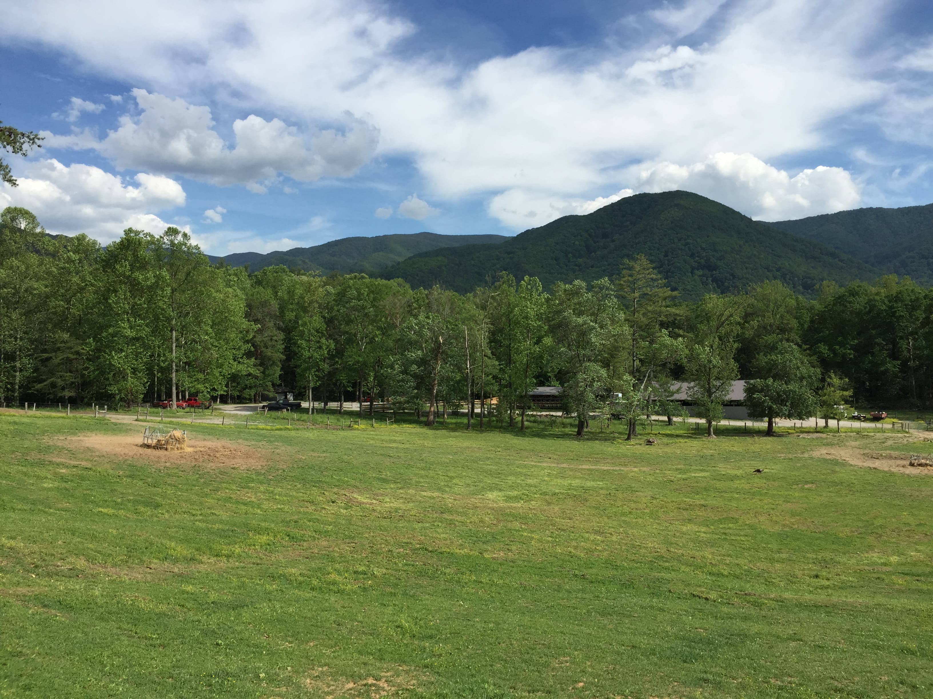
Fog pools in the hollows at dawn here, burning off slow over green meadows where deer graze like they own the place. This is a park built for slow mornings and easy trails wide enough for a teenager to walk ten feet ahead pretending not to be with you — then come running back the second a bear shows up in the tree line.
At a Glance
Highlights
- Sunrise wildlife watching along the Cades Cove loop
- Historic cabins and church framed by wildflower meadows
- Panoramic ridge views at Newfound Gap, 5,048 feet up
- Easy waterfall hike to Laurel Falls' photogenic cascade
- Stone chimney ruins tucked into a quiet foothills meadow
- Spring wildflowers blooming along shaded forest trails
Day-by-Day Plan
Day 1: Easing In: Meadows, Cabins & Wild Things
A gentle first day covering roughly 3 miles of flat, easy walking across two connected western clusters — low physical demand, high sensory payoff.
Arrive by 7:30 and the loop road is nearly empty — mist still clings to the ridgelines, and deer graze unbothered at the meadow's edge while the John Oliver Cabin glows amber in the low light. This is prime bear-watching hour; teens with phone cameras will want the window seat, and there's real payoff in the quiet before tour buses and midday traffic turn the 11-mile loop into a slow crawl. The flat, paved sections near the historic buildings make this an easy warm-up walk for the whole family.
The stone chimneys rise alone out of an emerald pasture, all that remains of a 19th-century homestead — an oddly quiet, almost eerie contrast to Cades Cove's bustle. It's a short stop, but a good stretch-your-legs moment between drives, with just enough historical texture to satisfy anyone who likes context over just scenery. Mid-week mornings keep this spot near-empty, so there's room to wander and take unhurried photos.

Beat the crowds into Cades Cove and the valley feels like it belongs only to you — mist rolling off the ridges, deer stepping out of the tree line, historic cabins catching the first gold light of the day. The pace is slow and flat, ideal for easing a family into the trip without overwhelming legs or patience, and there's enough wildlife activity in these early hours to keep teenagers glued to their phones for entirely the right reasons.
A short, easy drive west brings the day down a notch at the Chimneys Picnic Area, where two solitary stone chimneys stand in a quiet meadow — a low-key, almost meditative contrast to the morning's wildlife energy. It's a brief stop, more photo break than full excursion, giving everyone a chance to stretch, snack, and reset before heading back toward town for the evening.
With no mapped dining options directly at these trailside stops, plan to head into a nearby gateway town for the evening meal — options are limited right at the park's edge, so building in drive time toward Gatlinburg, Pigeon Forge, or Townsend for dinner keeps the day flexible without locking into an unverified spot. Settle into lodging early; tomorrow's day involves more elevation and a longer hike, so an early night pays off.
Day 2: Up to the Ridge, Down to the Falls
A moderately active day combining a high-elevation scenic stop with a family-friendly waterfall hike, totaling roughly 3.5–4 miles of walking.
Arrive early and Newfound Gap delivers thin, cool air and a view that rolls out in endless blue ridgelines — by 8 AM the parking area is calm, the wind carries the smell of spruce and wet stone, and the Rockefeller Memorial plaza is nearly yours alone. This is a good stretch for teens to wander independently to the Appalachian Trail marker and back while parents linger at the overlook — a built-in bit of autonomy inside a short, easy stop. Fog can roll in fast at this elevation, so check visibility before committing to the drive up.

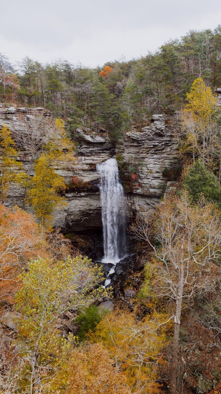
The 2.6-mile roundtrip hike to Laurel Falls is the day's centerpiece — a moderate trail through filtered green light, ending at a cascade loud enough to drown out conversation and cool enough to mist your face from twenty feet away. Arriving before 10 AM keeps the trail from turning into the shoulder-to-shoulder crowd it becomes by afternoon, and the moderate difficulty makes it genuinely fun rather than grueling for teens, with plenty of photo-worthy switchbacks along the way. Slick rocks near the base call for real tread on shoes, not sandals.
The climb up to Newfound Gap trades meadow warmth for thin mountain air and a view that stretches into blue haze — arriving early means the plaza is quiet enough to hear the wind move through spruce and fir, and there's just enough here to let teens range independently toward the Appalachian Trail marker while the rest of the group takes in the overlook at a slower pace.
Dropping back down in elevation, the day shifts into its most active stretch: the moderate out-and-back to Laurel Falls, where dense canopy and switchback trail build anticipation before the payoff of cool spray and cascading water. It's an ideal difficulty level for this demographic — real enough to feel like an accomplishment, short enough not to wreck the rest of the day.
With no mapped dining data tied directly to these trail-based stops, plan meals around a nearby gateway town rather than the trailhead itself — pack trail snacks for the hike, then build in time to settle into whichever town you're based in for a relaxed final dinner before wrapping the trip.
Want to tweak this trip?
Our AI planner can customize this itinerary to your exact dates, interests, and travel style.
Customize This ItineraryRestaurant details (hours, menus, availability) change frequently. Check current hours before visiting, especially in seasonal destinations.
Dietary compatibility tags are general guidance. If you have severe allergies, confirm directly with the restaurant.
Travel tips are general guidance, not professional safety advice. Check government advisories for latest information.
All prices are approximate and may vary seasonally.