Great Smoky Mountains (TN side), Tennessee
3-Day Itinerary for Solo Traveler
“Mist, Meadow, and Ridge: 3 Days Alone in the Smokies”
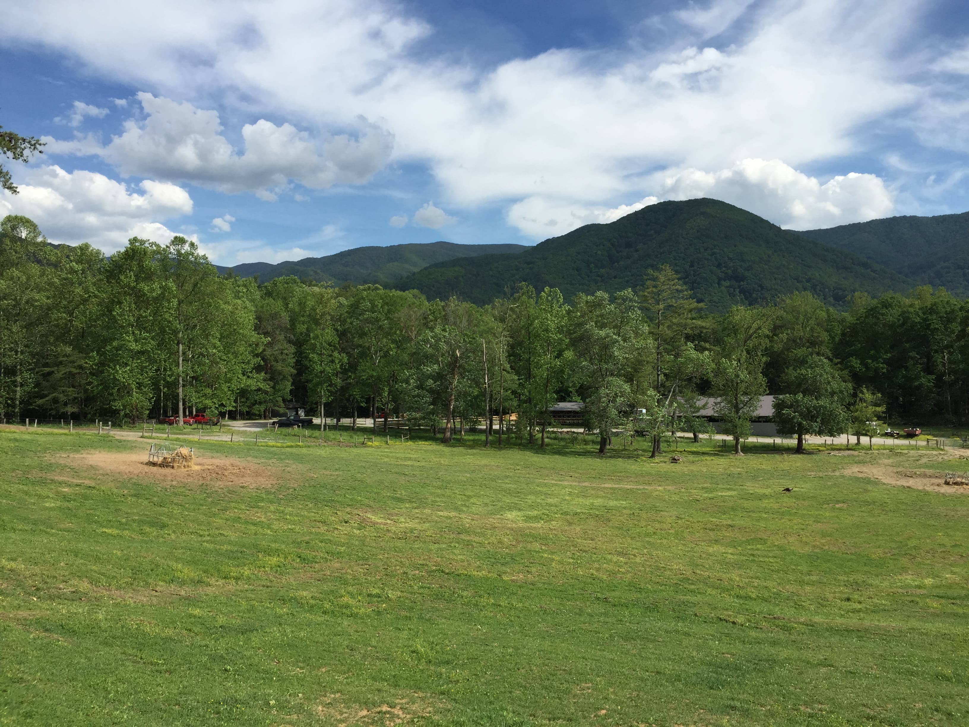
The fog doesn't lift here so much as it exhales, curling off ridgelines while wildflowers push up through last autumn's leaf litter. Spring in the Smokies means mild days, sudden rain, and a valley floor that hums with newborn wildlife and returning songbirds—an ideal, forgiving season for a solo traveler to move at their own rhythm.
At a Glance
Highlights
- Sunrise silence at Cades Cove before the tour buses arrive
- Standing at 5,048 feet where two states and the Appalachian Trail meet
- Hemlock cathedral light on the climb to Alum Cave Bluffs
- Spray-flecked photography at the base of Laurel Falls
- Historic homesteads and weathered chimneys telling settler stories
- Wildflower blooms threading rhododendron thickets in April and May
- Solo-friendly pacing with built-in flexibility for rain and rest
Day-by-Day Plan
Day 1: Valley Light and Settlers' Ghosts
An easy, low-mileage day centered on Cades Cove and the nearby Chimneys area—roughly 2-3 miles of walking total, mostly flat, designed to ease into park rhythm after travel.
Arrive before 8am and the 11-mile loop feels like it belongs only to you—mist still clinging to the ridgelines, deer grazing unbothered at the meadow's edge, and the John Oliver Cabin catching the first amber light. This is the gentlest possible introduction to the park: flat, scenic, and rich with both wildlife sightings and 19th-century homestead stories, ideal for a solo traveler still finding their travel legs. By 10am, cars start queuing at the loop entrance—plan to be well into the drive before then.
A quieter, almost forgotten stop—just a pair of stone chimneys standing alone in a green meadow, remnants of a homestead long gone. It's a good place to stretch your legs, eat something you brought along, and reflect on the valley you just drove through without the crowds of Cades Cove pressing in.

The drive into Cades Cove before sunrise rewards patience: empty pull-offs, deer stepping out of the treeline, and the valley's historic cabins glowing amber as the mist begins to lift. Take the full loop slowly—this is not a day for rushing, and as a solo traveler, there's no itinerary pressure from a travel companion. Roll the windows down and listen; songbirds and the occasional distant stream are the only soundtrack.
After the sensory fullness of Cades Cove, the Chimneys Picnic Area offers a deliberate change of pace—brief, quiet, contemplative. It's less a destination than a pause, a chance to sit with what you've just seen before the day winds down. Plan for a relaxed return to your lodging by mid-afternoon, giving your body a chance to adjust to elevation and travel fatigue.
With no confirmed dining data for this immediate area, plan your evening meal around your gateway town of choice—Gatlinburg, Pigeon Forge, or Townsend all offer options, though specifics should be checked locally rather than assumed. Use the evening to rest, review tomorrow's higher-elevation plans, and get to bed early; Newfound Gap and Alum Cave await, and an early start will matter.
Day 2: To the Ridge and Through the Hemlocks
A more demanding day combining the panoramic Newfound Gap overlook with the Alum Cave Trail hike—approximately 5 miles of trail walking, moderate energy output.
Arrive early and the gap is often wrapped in cool, thin silence—wind moving through spruce and fir, layered ridgelines rolling out in blue haze in every direction. This is the spot where a president once dedicated the park, and where the Appalachian Trail crosses the road; solo travelers often strike up conversations with AT thru-hikers passing through, a nice social touchpoint before a solitary hike. By 11am the overlook fills with tour buses—claim your quiet moment now.

The trail climbs through a hush of ancient hemlocks, needles softening every footstep, before opening onto ridgeline views and finally the dramatic overhang of the cave shelter itself. This is prime solo-hiker territory—well-trafficked enough to feel safe, quiet enough to feel like discovery, and demanding enough to reward the effort with genuine solitude at the cave entrance if you start early. Watch your footing on the rock slabs near the top; they're notoriously slick even in dry weather.
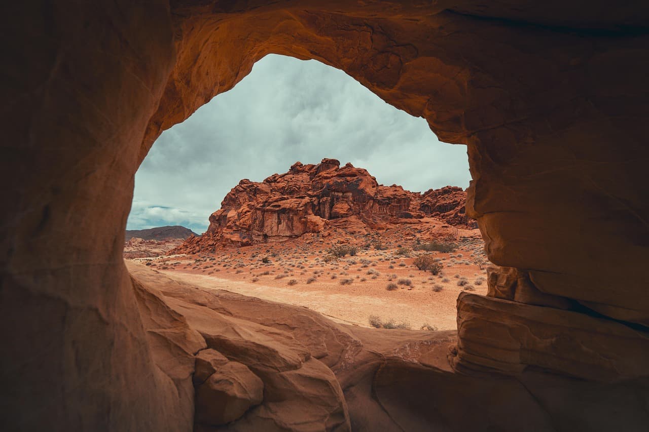
The drive up to Newfound Gap climbs through shifting microclimates, temperatures dropping noticeably as elevation rises. Standing at the gap before the crowds arrive, wrapped in a fleece against the wind, offers a rare stillness—an easy place to feel both small and clear-headed after a day of travel adjustment. It's a natural spot for brief conversation with fellow early risers or AT hikers passing through.
The shift into Alum Cave Trail changes the day's texture entirely—dense hemlock forest, the mineral smell of stone and moisture, and a steady, engaging climb that rewards concentration. This is where solo hiking feels most rewarding: no pace to match but your own, no conversation required, just the rhythm of breath and boots on trail. Budget real time at the cave shelter itself before starting back down; the light there shifts beautifully as the sun moves overhead.
After a demanding trail day, plan your dinner in whichever gateway town you're based in for the evening—Gatlinburg, Pigeon Forge, or Townsend—though exact restaurant choices should be confirmed locally since specific dining data wasn't available for this stretch of the park. Rest is the priority tonight; tomorrow's Laurel Falls hike is gentler, but an early start still pays off.
Day 3: Falling Water and Farewell
A moderate final day centered on the Laurel Falls hike—about 2.6 miles roundtrip—balancing a satisfying trail experience with a lighter overall pace before departure.
Arrive before 8am and the trail is quiet enough to hear only the thunder of falling water and your own footsteps on cool asphalt-turned-dirt path. The falls themselves are one of the Smokies' most photogenic cascades, mist drifting off the rocks and dappled green light filtering through the canopy above—a fitting, reflective close to a solo trip through the park. Watch for slick rocks near the base; the crowd builds fast after 9am, so plan your descent accordingly if you want the quiet version of this place.
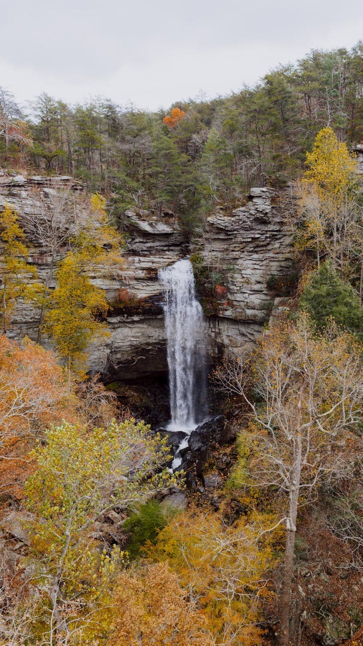
The walk to Laurel Falls unfolds gradually, switchbacks revealing glimpses of the cascade before the full reveal at trail's end. Going early and alone means the sound of the water arrives almost as a private performance, no crowd noise competing with the rush of the falls. It's a fitting way to close out a solo trip through the Smokies—physically engaged, quietly reflective, and unhurried.
With the hike complete by late morning, the rest of the day opens up for either a relaxed drive back through the park one more time or an early departure, depending on travel plans. There's no rigid schedule left to keep—use the extra hours to revisit a favorite overlook or simply sit with the mountains a little longer before heading out.
For a final meal before departure, plan around your gateway town of choice—exact restaurant recommendations aren't confirmed for this immediate area, so check local options in Gatlinburg, Pigeon Forge, or Townsend directly. Whatever the choice, let the evening wind down easily; the Smokies reward travelers who leave a little unhurried.
Want to tweak this trip?
Our AI planner can customize this itinerary to your exact dates, interests, and travel style.
Customize This ItineraryRestaurant details (hours, menus, availability) change frequently. Check current hours before visiting, especially in seasonal destinations.
Dietary compatibility tags are general guidance. If you have severe allergies, confirm directly with the restaurant.
Travel tips are general guidance, not professional safety advice. Check government advisories for latest information.
All prices are approximate and may vary seasonally.