Great Smoky Mountains (TN side), Tennessee
2-Day Itinerary for Teen Families
“Mist, Meadows & Mountain Light: Two Days in the Smokies”
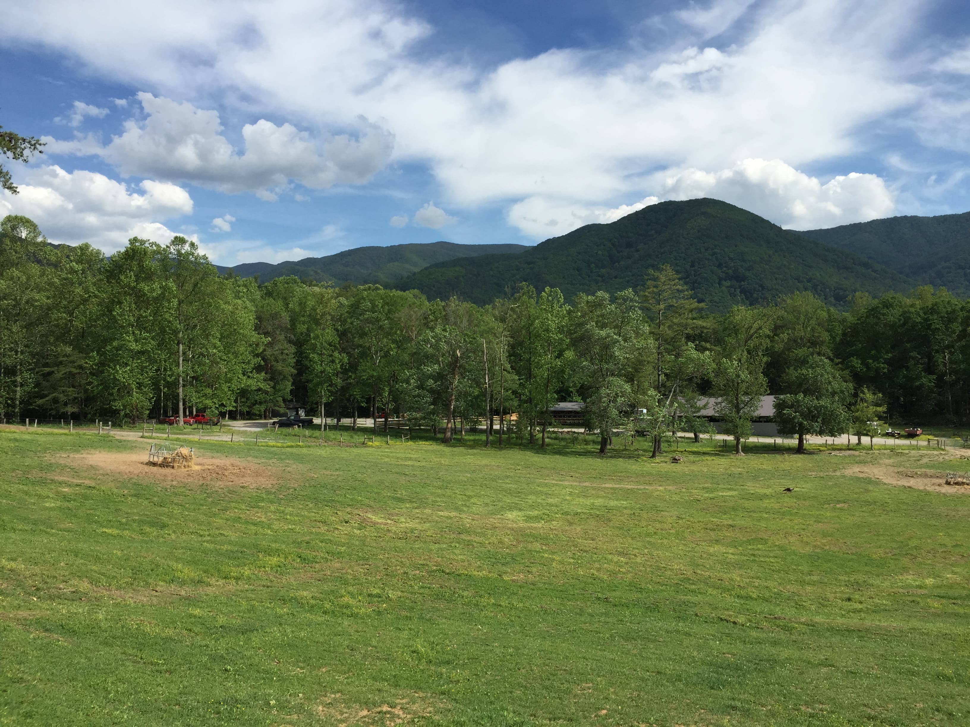
Fog pools in the hollows at dawn here, burning off slow as the valley wakes to birdsong and the distant knock of a woodpecker. This is a park built for wandering together—wide enough for teens to range ahead on a trail, intimate enough for the whole family to lean on the same fence rail watching a black bear amble through the meadow.
At a Glance
Highlights
- Sunrise wildlife watching along the Cades Cove loop
- Historic cabins glowing amber in morning mist
- Standing at 5,048 feet where two states meet at Newfound Gap
- A cathedral of hemlocks on the Alum Cave Trail
- Cooling off in the spray at Laurel Falls
- Golden hour photo ops built into every stop
Day-by-Day Plan
Day 1: Valley Light & Wildlife Wandering
A gentle first day centered entirely on Cades Cove and the nearby Chimneys picnic area, with about 3 miles of easy, mostly flat walking.
Arrive by 7:30 and the loop road feels like it belongs only to you—mist still clinging to the ridgeline, deer grazing unbothered in dew-heavy grass. By 9 AM the same stretch turns into a slow crawl of brake lights and craned necks, so this early window is the whole game. Teens can hop out at pullouts to photograph the John Oliver Cabin while parents scan the tree line for bears with the windows down.
A short stop to stretch legs and let the morning's wildlife-watching adrenaline settle—weathered stone chimneys rise out of an emerald meadow like the last sentence of a story half-told. It's an easy, low-key pause before lunch, good for a quick family photo against the ridgeline without much walking required.

The valley wakes slowly—mist pooling in low pockets, deer grazing at the meadow's edge, and the first hour of light turning the historic cabins the color of warm butter. This early start is the single best trick in the whole itinerary: by 7:30 the loop is nearly empty, and by 9 it's a different, busier place entirely. Let teens lead with the camera or binoculars; wildlife sightings here—turkeys, deer, the occasional black bear at a respectful distance—tend to be the trip's first real "wow."
After the unhurried pace of Cades Cove, the short stop at Chimneys Picnic Area is a palate cleanser—stone ruins standing quiet in an open meadow, easy enough that no one needs convincing to get out of the car. It's a good moment to talk through afternoon plans and let the group decide how much more walking feels right, since day one is intentionally light on physical demands.
With no mapped dining options directly tied to these two stops, plan the evening meal back in a gateway town like Gatlinburg or Townsend rather than expecting food service at the trailhead—options up here are limited, so pack snacks for the day and treat dinner as a chance to regroup, compare photos, and let everyone recover from the early wake-up call.
Day 2: High Ridges & Falling Water
A more active day split between the high-elevation Newfound Gap area and the Laurel Falls hike, totaling roughly 4–4.5 miles of walking.
Arriving early means the parking area and the Rockefeller Memorial plaza are still quiet, the air noticeably cooler and thinner at 5,048 feet, wind hissing through spruce and fir. It's a striking, easy win for teens and parents alike—a place where you can straddle the Tennessee–North Carolina line and take in ridge after blue ridge rolling into haze, all with minimal walking required.

This is the day's big adventure—a hike through hemlock forest so dense and hushed it feels cathedral-like, climbing steadily toward a dramatic overhanging cave shelter with sweeping ridge views. Teens tend to love the scramble sections and the payoff at the cave mouth, while the cool mineral-scented air rising from the rock makes for welcome relief from summer heat; starting by 9 AM keeps the trail from feeling crowded and beats the worst of the afternoon sun.
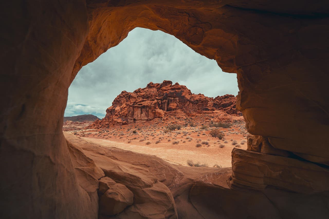
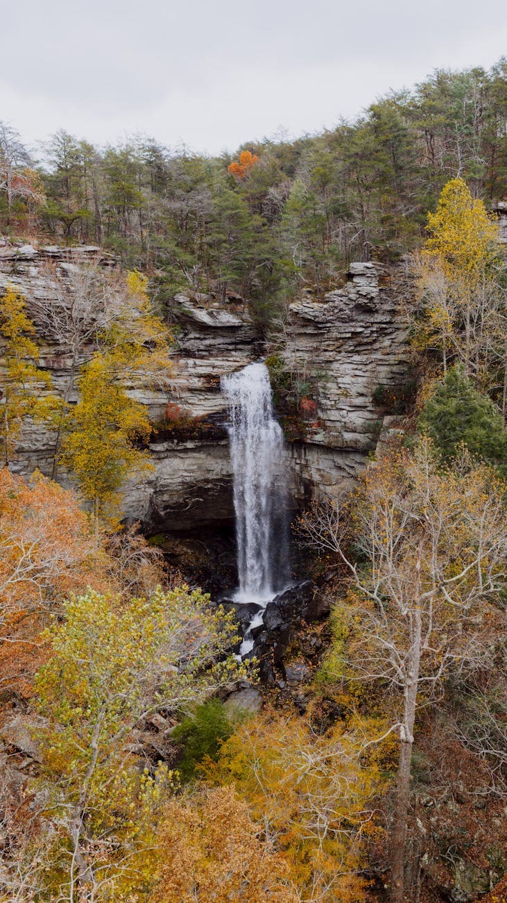
A shorter, lighter hike to close the day—2.6 miles roundtrip through filtered green light to one of the Smokies' most photogenic cascades, mist drifting off the falls and cooling the air as you approach. It's an easy contrast to the morning's harder climb, and teens will likely want a few minutes at the base of the falls for photos with the spray catching the afternoon light.
The ridge air at Newfound Gap bites cooler than anything felt in the valley below, wind moving steadily through the spruce-fir forest as the group takes in the view from the Rockefeller Memorial plaza. It's a short, rewarding stop—minimal walking, maximum payoff—that sets the tone for a day built around elevation and adventure.
The pace shifts hard into adventure mode on the Alum Cave Trail, where hemlock forest gives way to rocky switchbacks and a genuinely thrilling scramble to the cave shelter. This is the day's physical centerpiece, and by early afternoon the group transitions to something gentler—Laurel Falls, with its easier grade and reliably crowd-pleasing waterfall payoff, offers a lighter second half without asking too much of tired legs.
With no mapped dining data tied directly to Newfound Gap, Alum Cave, or Laurel Falls, plan on finishing the hiking day and heading back toward a gateway town for dinner rather than expecting food service at any of these trailheads—pack snacks and water for the day itself, and treat the evening meal as the reward waiting back in town after two solid hikes.
Want to tweak this trip?
Our AI planner can customize this itinerary to your exact dates, interests, and travel style.
Customize This ItineraryRestaurant details (hours, menus, availability) change frequently. Check current hours before visiting, especially in seasonal destinations.
Dietary compatibility tags are general guidance. If you have severe allergies, confirm directly with the restaurant.
Travel tips are general guidance, not professional safety advice. Check government advisories for latest information.
All prices are approximate and may vary seasonally.