Great Smoky Mountains (TN side), Tennessee
3-Day Itinerary for Couples
“Mist, Meadow & Mountain Light: 3 Days in the Smokies”
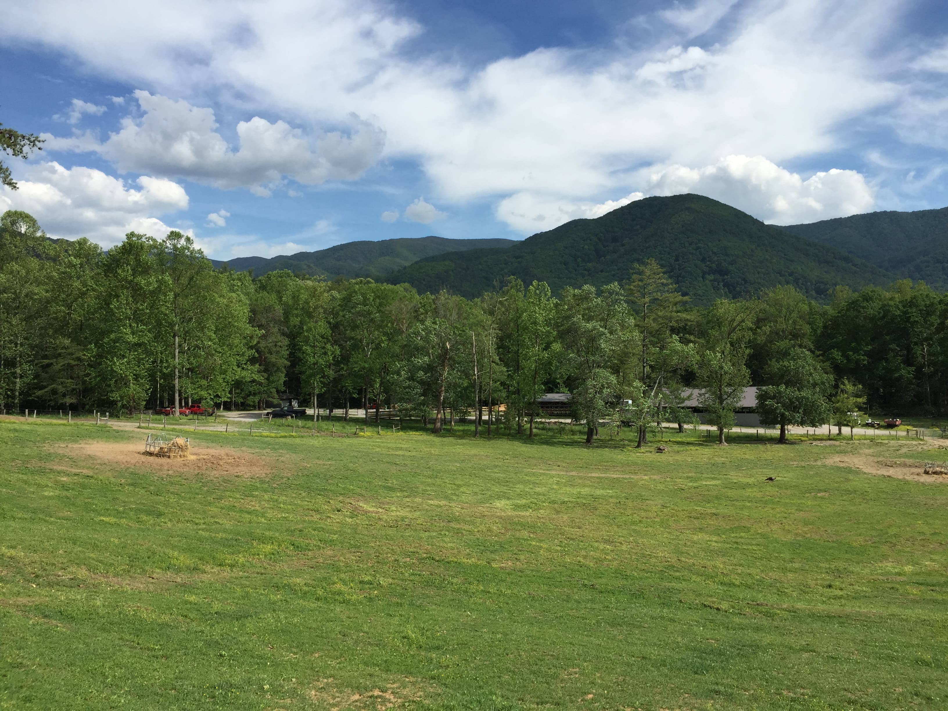
The Smokies exhale mist before the sun even clears the ridgeline, and the whole park seems to hold its breath in that first hour of light. This is a trip built for two — quiet valley roads, waterfall spray on your skin, and high-elevation overlooks where the haze turns every ridge into watercolor.
At a Glance
Highlights
- Sunrise wildlife-watching along the Cades Cove loop
- Stone chimney ruins framed by wildflower meadows
- Standing at 5,048 feet where two states meet at Newfound Gap
- A hemlock-cathedral hike to Alum Cave's dramatic rock shelter
- Laurel Falls mist on your face after a golden-hour hike
- Slow Southern Appalachian dinners after each day's trail dust settles
Day-by-Day Plan
Day 1: Easing Into the Valley
A gentle first day centered on Cades Cove's pastoral loop and the quiet Chimneys picnic area, with easy walking under 2 miles total.
Arrive while the mist still clings to the ridgeline and the 11-mile loop road is nearly yours alone — deer graze in the open meadows and the John Oliver Cabin glows amber in the low light. Drive slow with windows down; this is the kind of morning where conversation goes quiet just to listen to birdsong and distant streams. By 9 AM, cars begin to queue for wildlife sightings, so this early window is the valley at its most intimate.
A short, unhurried stop where two stone chimneys rise from an emerald meadow like the last sentence of a story someone forgot to finish. It's a quiet counterpoint to Cades Cove's bustle — an easy roadside pause to stretch, share a snack, and read the weathered stonework up close before the midday heat sets in.

The valley greets you first with silence, then with sound — a wood thrush somewhere in the tree line, hooves shifting in tall grass, the soft creak of an old cabin door. Driving Cades Cove Loop Road at first light feels like being let in on a secret before the rest of the world wakes up; by the time you've circled back toward the chimneys, the meadows are beginning to hum with midday warmth.
After the quiet drama of the morning, the afternoon settles into something slower — a picnic stop at the Chimneys, a chance to simply sit together in the grass and let the trip's pace catch up with you. This is intentionally light: no major hikes today, just orientation to the mountains' rhythm and the first taste of Southern Appalachian air.
With no dining data mapped directly to these first-day stops, plan your evening meal back in your home base — Gatlinburg, Townsend, or your cabin's surrounding area — where Southern comfort food and trout dishes are widely available. Let the first night be unhurried: a porch, a mountain view, and the sound of cicadas settling in for the night.
Day 2: Ridge Line & Rock Shelter
A more physically demanding day centered on Newfound Gap's panoramic overlook and the Alum Cave Trail, totaling roughly 3.5–4 miles of walking.
Arrive early enough and the gap belongs to you and the wind — 5,048 feet up, where Tennessee and North Carolina shake hands at the Rockefeller Memorial and ridges roll away in blue layers toward the horizon. The air is cool and thin here even in July; it's worth pausing at the Appalachian Trail intersection just to feel how far you've climbed in such a short drive. By late morning, tour buses and midday crowds fill the overlook — this window is for quiet awe.

The trail rises through a hush of old hemlocks, needles softening every footstep, until the forest opens onto the dramatic overhang of Alum Cave itself — a natural shelter with views that rival any summit. It's a moderately demanding climb, best tackled in this cooler morning window before the trail's rocky sections get slick with afternoon humidity or storms. Rest together at the cave entrance, framed by towering rock walls, and let the effort feel earned.
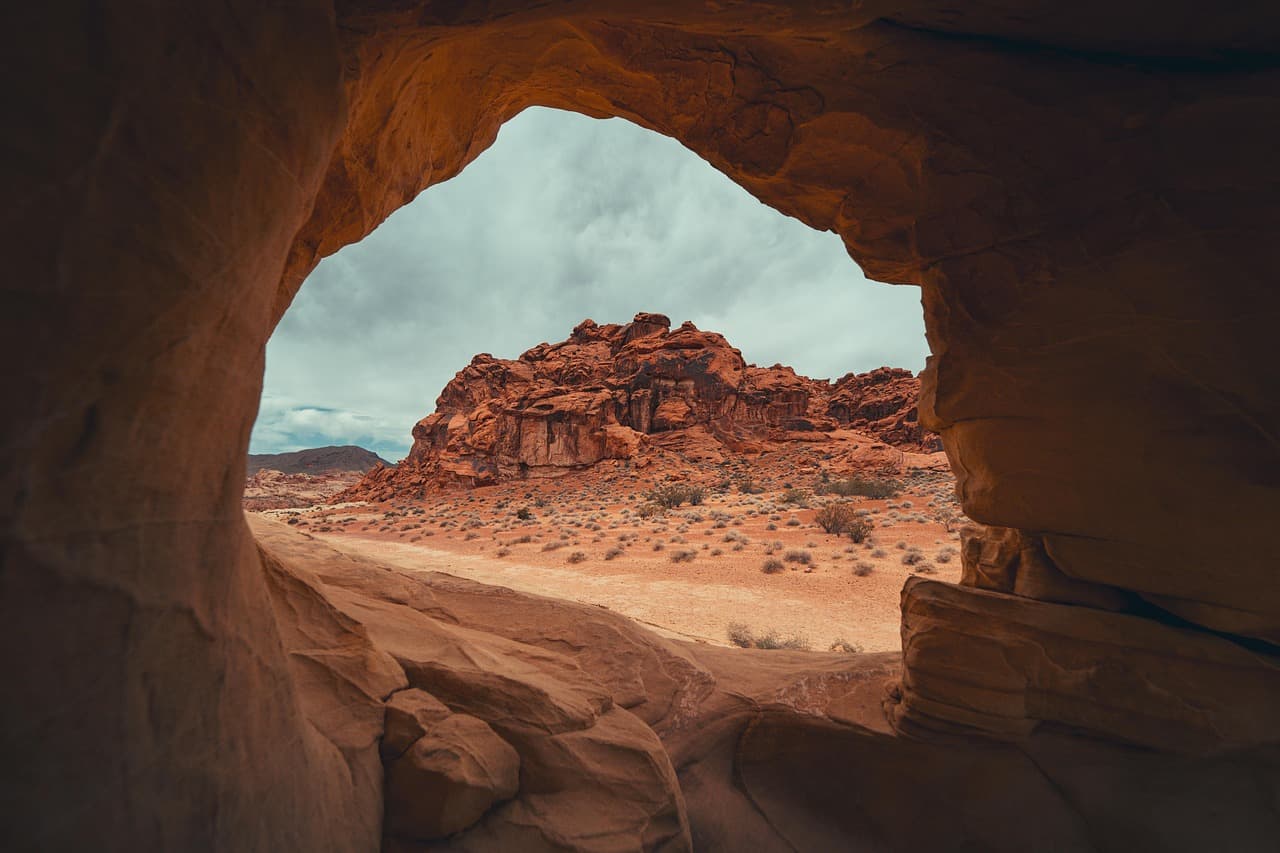
The ridge greets you with thin, cool air and a view that seems to stretch past the edge of the map — this is the kind of morning where you stand shoulder to shoulder at the memorial, saying little, just taking in the scale of it. From there, the trailhead calls, and the forest swallows you into hemlock shadow within minutes.
By the time you emerge from Alum Cave's stone overhang, the light has shifted and your legs know exactly how much elevation you've climbed. This is the day's physical peak — plan a slow, easy afternoon afterward, easing back down in elevation and energy alike.
No dining data is mapped directly to these ridge-top stops, so plan your dinner back toward Gatlinburg or your lodging area, where Southern Appalachian trout dishes and Southern comfort plates await after a demanding trail day. Let the evening be about rest — sore legs, good conversation, and an early lights-out.
Day 3: Waterfall Light & Farewell Mist
A lighter final day built around the Laurel Falls hike, timed for golden-hour photography, with total walking near 2.6 miles.
Arrive before 8 AM and the trail feels like it was built just for the two of you — the moderate 2.6-mile roundtrip winds through filtered green light until the falls themselves appear, thundering into a mist that cools your skin on contact. By mid-morning the parking lot overflows and the trail crowds shoulder to shoulder; this early hour is when the falls feel most private, most romantic. Stand at the base together and let the spray settle before the day's heat builds.
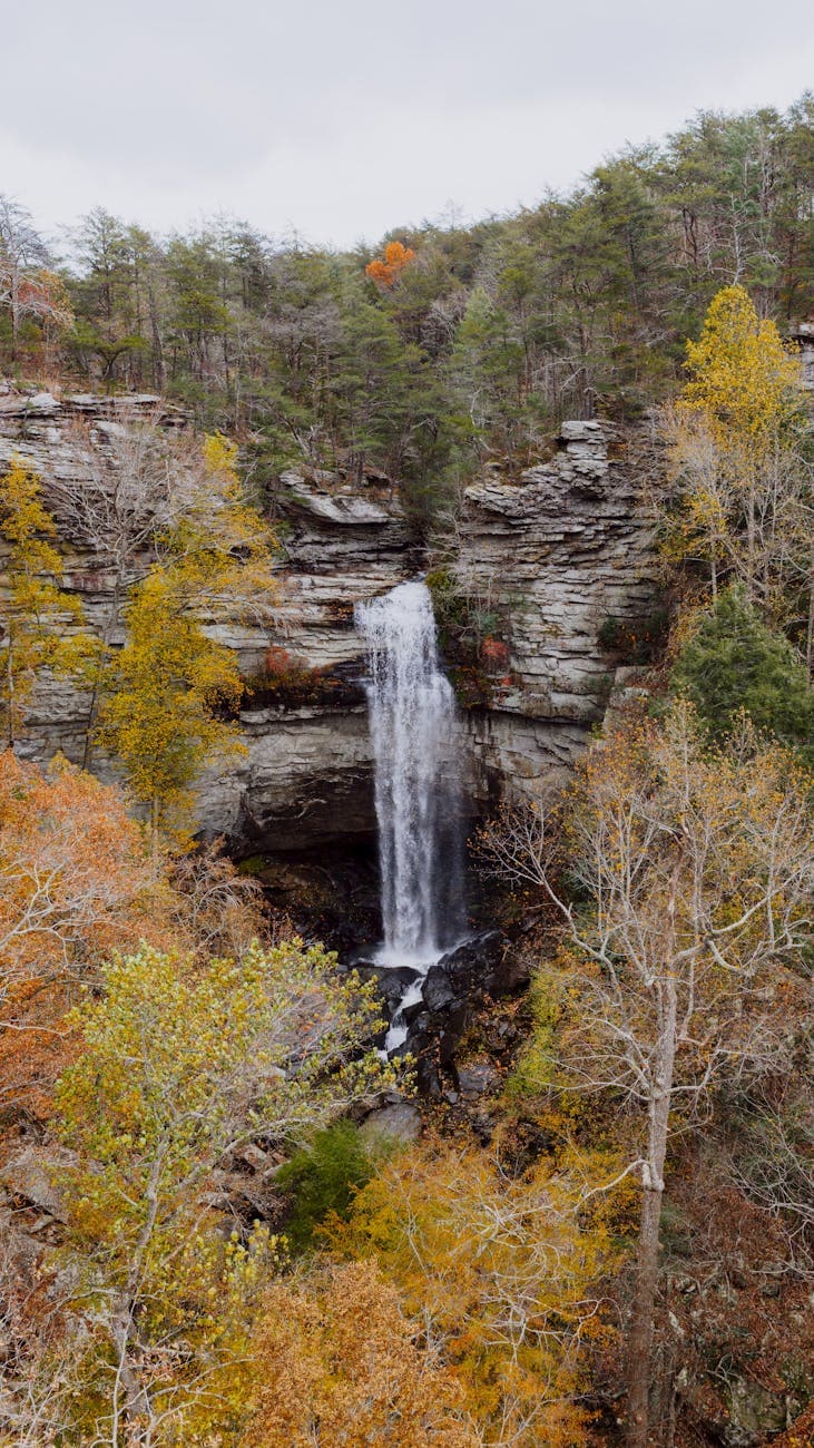
The trail to Laurel Falls smells of wet stone and moss long before the water comes into view, and when it does, the roar fills the whole hollow — a fitting, dramatic finale to the trip's rhythm of quiet mornings and mist-fed valleys. Time this well and you'll have the falls nearly to yourselves, the kind of hush that makes couples linger a little longer than planned.
With the morning's hike behind you, let the afternoon soften into unstructured time — a slow drive, a last look at the ridgelines, or simply resting before the evening's splurge dinner. This is the day to savor rather than pack in more stops.
For your final night, seek out an upscale Southern Appalachian dinner in Gatlinburg or your home base — trout, local honey, and heritage grain dishes pair well with a good wine list, making for a fitting closing toast to three days of misty valleys and mountain light. No specific venue is mapped in the trail-side data, so book ahead in town for a table with a view of the peaks.
Want to tweak this trip?
Our AI planner can customize this itinerary to your exact dates, interests, and travel style.
Customize This ItineraryRestaurant details (hours, menus, availability) change frequently. Check current hours before visiting, especially in seasonal destinations.
Dietary compatibility tags are general guidance. If you have severe allergies, confirm directly with the restaurant.
Travel tips are general guidance, not professional safety advice. Check government advisories for latest information.
All prices are approximate and may vary seasonally.