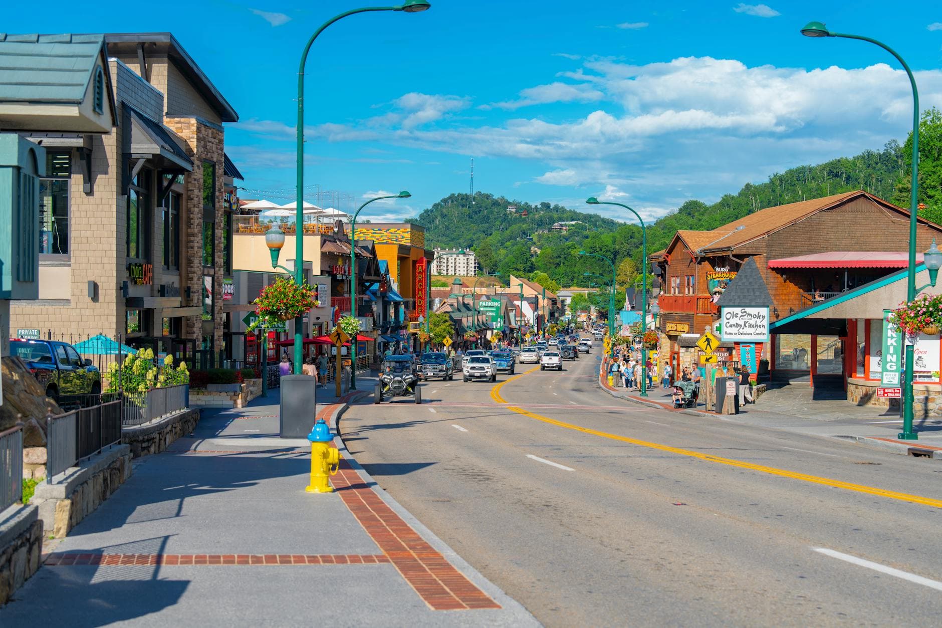
Great Smoky Mountains (TN side), Tennessee
3-Day Itinerary for Active Retirees
“Mist, Meadows & Mountain Light: 3 Days in the Smokies”
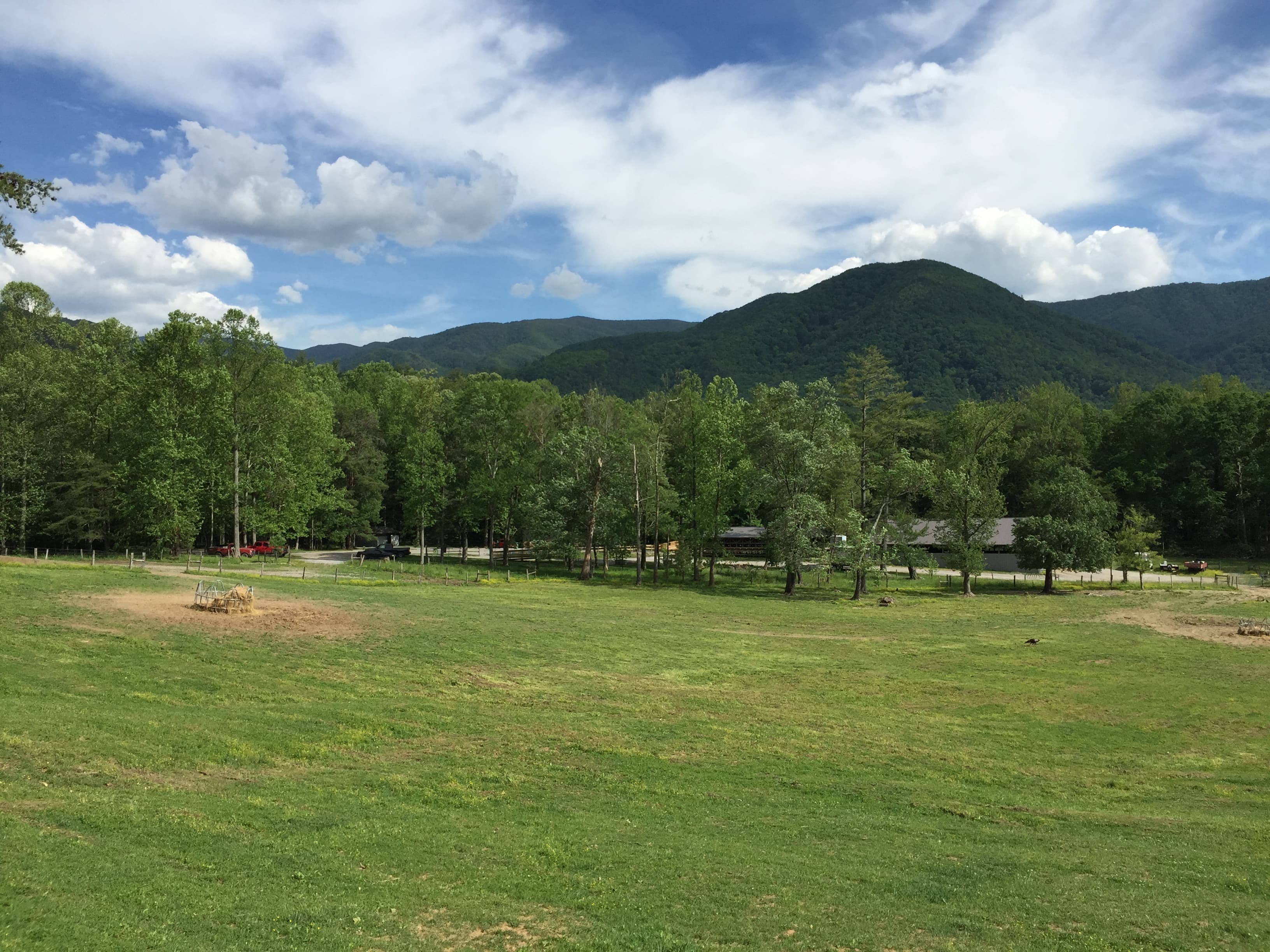
The Smokies don't announce themselves—they arrive slowly, as mist lifting off pastureland and ridgelines stacking blue into the distance. This is a trip for savoring: cool fall mornings at Cades Cove before the crowds stir, sweeping panoramas at Newfound Gap, and the gentle thunder of Laurel Falls, all at a pace that lets you actually breathe it in.
At a Glance
Highlights
- Dawn wildlife watching along the Cades Cove loop road
- Historic cabins and church glowing amber in morning light
- Panoramic ridgeline views from 5,048 feet at Newfound Gap
- Fall foliage layering the valleys in gold and crimson
- Easy waterfall trail to Laurel Falls' mossy cascade
- Quiet stone chimneys standing sentinel over open meadow
- Southern Appalachian comfort food after each day's exploring
Day-by-Day Plan
Day 1: Easing Into the Valley — Cades Cove at First Light
A low-key first day centered entirely on the Cades Cove loop, with gentle walking (under 1 mile total) and long, unhurried wildlife watching.
Arrive by 8 AM and the valley is nearly yours—mist still clinging to the ridgelines, deer grazing unbothered in dew-heavy meadows. Drive the loop slowly, windows down, pausing at John Oliver Cabin and the white clapboard Methodist Church, both glowing amber in the low morning light. This is the softest possible introduction to the Smokies: no strenuous walking required, just the valley unfolding around you at whatever pace you choose.
You'll want to be at the loop road entrance before the gates truly wake up—by 8 AM the valley still holds its overnight hush, mist draped over distant ridges like a held breath. Take the drive slowly. There's no itinerary pressure here, just meadows opening into view, deer lifting their heads to watch you pass, and the amber-lit silhouette of the Methodist Church against a backdrop of forested slopes. This is arrival day, and the valley asks nothing of you but attention.
By midday, traffic on the loop road thickens, so this is a natural point to ease back—settle into lodging, unpack, and let the morning's quiet linger. If energy allows, a short stroll near your accommodation or a slow coffee on a porch overlooking the hills is the right rhythm for today.
As the light softens toward evening, keep plans simple: an early, comfortable dinner in Gatlinburg or Townsend, feet up, no rush. Let today's slow valley drive settle in before tomorrow's slightly more active pace.
Day 2: Standing Where the Ridges Meet — Newfound Gap & the High Country
A moderate day centered on Newfound Gap's high-elevation views, with light walking (under 1.5 miles) and time built in for rest and photography.
Arrive by 9 AM before the midday crowds fill the parking area and the Rockefeller Memorial plaza. Stand at 5,048 feet and feel the air thin and cool against your skin—layers of blue ridges roll endlessly toward the haze, and on clear fall mornings the foliage below paints the slopes in gold and rust. The memorial itself offers a quiet, benched spot to sit and take it all in without rushing.

The drive up to Newfound Gap is a journey in itself—forest transitions from oak and hickory to spruce and fir as you climb, and by the time you step out of the car, the air has a different character entirely: thin, cool, carrying the scent of wet stone and mountain rain. Arriving early means the memorial plaza is calm, benches empty, views uninterrupted by shoulder-to-shoulder crowds that arrive by midday.
After soaking in the ridge views, ease back down in elevation for a slower midday. This is a good afternoon for a leisurely lunch and rest before any further activity—today's single major stop is intentionally unhurried, honoring both the elevation change and the pace this demographic favors.
Head back toward Gatlinburg or Townsend as the light lowers earlier than summer would allow—fall's shorter days mean an early dinner and an easy evening, perhaps a porch view of the ridgeline silhouette fading into dusk.
Day 3: Falling Water and Farewell Stones — Laurel Falls & the Western Foothills
A gentle closing day combining the short walk to Laurel Falls with a relaxed stop at the historic Chimneys, totaling under 2.5 miles of easy walking.
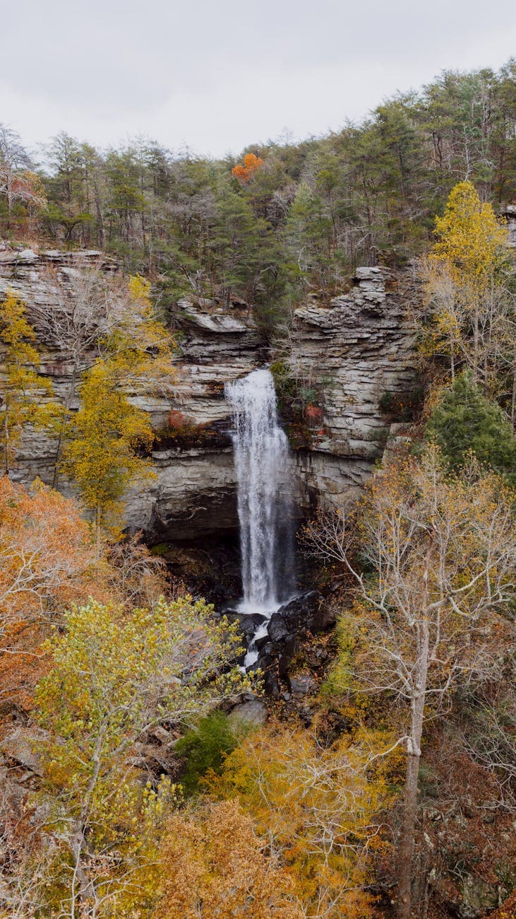
Arrive before 8 AM and you'll have long stretches of trail to yourselves—by mid-morning this popular path fills quickly. The 2.6-mile roundtrip is paved but uneven in places, winding through filtered green light toward the falls, where cool spray and the steady thunder of falling water reward the modest effort. Take it slow, pause often on the switchbacks, and let the mossy cascade be the day's centerpiece.
A short, easy stop to close out the trip gently—weathered stone chimneys stand alone in an emerald meadow, remnants of 19th-century settlement. There's little walking required here, just a roadside pullout and a quiet moment to reflect on the valley's layered history before the drive back to gateway towns.

The trail to Laurel Falls asks for an early start—arrive with the first hint of daylight and the path is quiet, canopy dripping with dew, birdsong the only company. The walk is gentle by Smokies standards but still requires attention to footing; take breaks on the switchbacks, and let the sound of rushing water grow louder as you approach, until finally the falls appear, cool mist drifting across the trail.
With the morning's walking done, the pace eases further at the Chimneys—no trail, no incline, just weathered stone and open meadow, a fitting quiet coda to three days spent moving gently through the Smokies' most memorable corners.
As this final day winds down, allow time for an unhurried departure or one last relaxed dinner in Gatlinburg or Townsend before heading home, the mountains' mist and gold-lit ridgelines already settling into memory.
Want to tweak this trip?
Our AI planner can customize this itinerary to your exact dates, interests, and travel style.
Customize This ItineraryRestaurant details (hours, menus, availability) change frequently. Check current hours before visiting, especially in seasonal destinations.
Dietary compatibility tags are general guidance. If you have severe allergies, confirm directly with the restaurant.
Travel tips are general guidance, not professional safety advice. Check government advisories for latest information.
All prices are approximate and may vary seasonally.