Great Smoky Mountains (TN side), Tennessee
3-Day Itinerary for Solo Traveler
“Ridgelines and Solitude: 3 Days Alone in the Smokies”
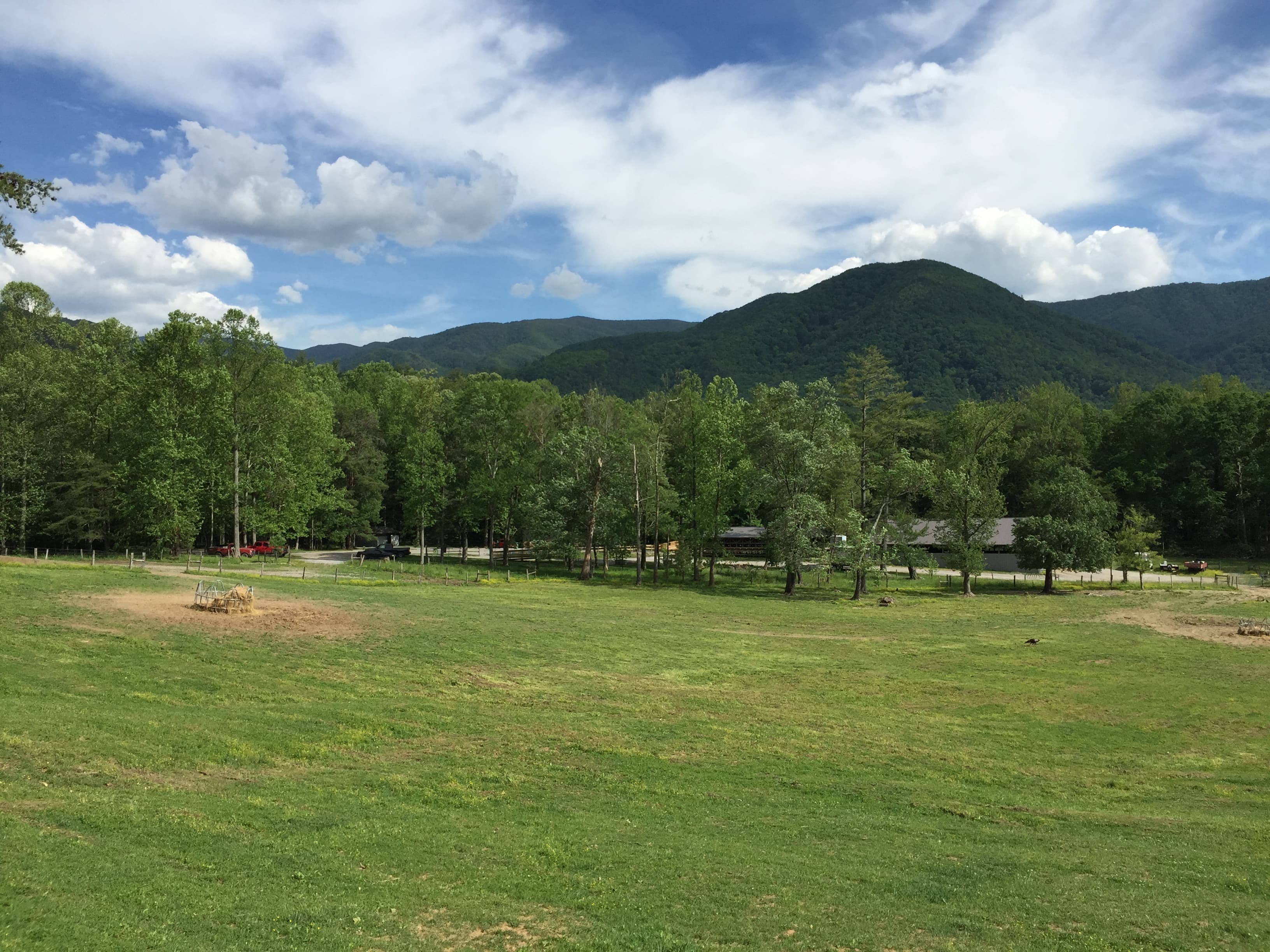
Mist curls off the ridgelines before the crowds ever arrive, and for a solo traveler that's the whole point — empty overlooks, unhurried trails, and the kind of quiet that lets you actually hear the mountains breathe. This is a three-day loop through the Tennessee side of the Smokies built for one: early starts, flexible pacing, and enough solitude to remember why you came alone.
At a Glance
Highlights
- Sunrise mist over Cades Cove before the tour buses arrive
- Standing at 5,048 feet where two states meet at Newfound Gap
- Hemlock cathedral hiking on the Alum Cave Trail
- Cooling mist at the base of Laurel Falls after a summer climb
- Historic homesteads and black bear sightings in open meadow
- Golden hour light on 19th-century cabins and stone chimneys
- Quiet trailhead mornings built around a solo traveler's own rhythm
Day-by-Day Plan
Day 1: Settling Into the Valley
A gentle first day easing into the park's rhythm with an easy loop drive, short walks, and low physical demand — roughly 2 miles on foot total.
Arrive before eight and the loop road belongs almost entirely to you — mist still clinging to the ridgeline, deer grazing unbothered in the open meadow, the John Oliver Cabin glowing amber in low light. This is the easiest possible introduction to the park: flat, self-paced, and endlessly photogenic, with pullouts where you can simply sit with the quiet. By mid-morning tour traffic thickens considerably, so treat this early window as the day's centerpiece.
A quiet decompression stop after the emotional high of Cades Cove — weathered stone chimneys rising out of green pasture, the kind of understated ruin that rewards a slow look rather than a quick photo. Good spot to eat a packed lunch at a roadside pullout while the morning's wildlife sightings settle in.

The valley reveals itself slowly in the first hour of light — mist threading through hollows, historic cabins catching gold, the occasional flash of a white-tailed deer at the meadow's edge. Arriving this early as a solo traveler means you're not competing for pullout parking or jostling for photo angles; it's just you, the wildlife, and eleven miles of unhurried loop road.
After the quiet drama of Cades Cove, the pace deliberately drops further at the Chimneys — a short, low-effort stop meant for lunch and reflection rather than exertion. This is a good afternoon to head into Townsend or Gatlinburg, settle into lodging, and let the body adjust to elevation and heat before tomorrow's more demanding day.
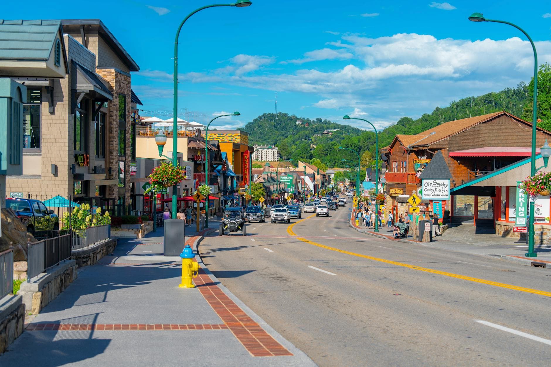
Options for dinner are best planned in town rather than at the trailhead — Gatlinburg and Townsend both offer easy, low-key spots where a solo diner can grab a seat at the bar and unwind after a day of driving and walking. An early night sets up tomorrow's pre-dawn start well.
Day 2: Into the High Country
The trip's most physically demanding day, centered on the Alum Cave Trail with roughly 4.5 miles of hiking plus a scenic overlook stop.
Start early — both for the cooler air and the hush of an empty trail through old hemlock forest, needles softening every footstep into near-silence. The climb to Alum Cave Bluffs rewards you with a dramatic overhang and views that rival many summit hikes, all without technical difficulty; solo hikers report this as one of the most rewarding trails in the park precisely because it's demanding enough to feel earned but well-trafficked enough to never feel isolating or unsafe.
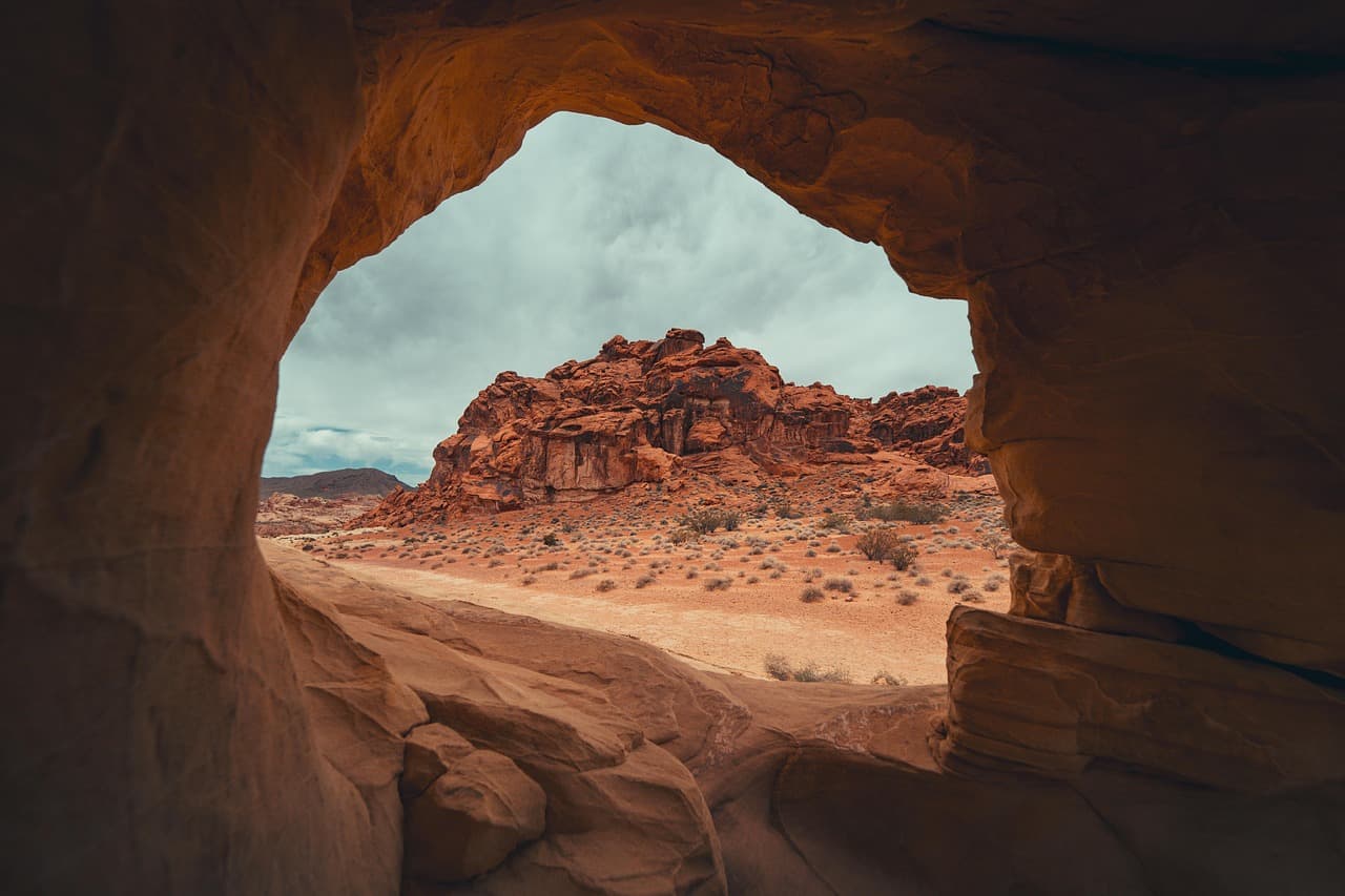
After the exertion of Alum Cave, this is pure payoff with minimal effort — a short walk from the parking area to the Rockefeller Memorial and a sweeping view where Tennessee and North Carolina fold into each other across layered blue ridges. The thin, cool air at 5,048 feet feels like a reward after the climb, and the Appalachian Trail crossing here offers a small thrill of connection to the wider trail network.

The trail climbs through what feels like a cathedral of old hemlocks, cool mineral-scented air rising as you near the cave shelter itself — a dramatic rock overhang that frames distant ridgelines like a natural window. This is the day's core physical effort, and starting at dawn means most of the ascent happens in shade and quiet before the trail fills with midday hikers.
The transition from strenuous trail to scenic overlook marks a deliberate pace shift — legs get a rest while the eyes take over at Newfound Gap, where the view does all the work. It's a good spot to linger with a snack, watch other hikers head off toward Mount Le Conte or the Appalachian Trail, and strike up conversation with fellow solo travelers drawn to the same bench.
Plan dinner in Gatlinburg tonight — after a demanding hike, a sit-down meal with bar seating suits a solo traveler well, letting you refuel without pressure to rush. An early turn-in is worth it, since legs will feel today's mileage by tomorrow morning.
Day 3: Waterfall Light and Farewell Miles
A moderate final day built around the Laurel Falls hike, roughly 2.6 miles roundtrip, with a lighter afternoon to ease toward departure.
Arrive before 8am and this 2.6-mile roundtrip hike feels like a private preview before the crowds descend — by mid-morning the trail and parking lot fill fast, especially in summer. The payoff is one of the Smokies' most photogenic cascades: cool mist on your face, the steady thunder of falling water, and filtered green light through dense canopy the whole way up. It's an ideal solo-friendly trail — well-marked, moderately trafficked even early, and short enough to leave energy for the rest of the day.
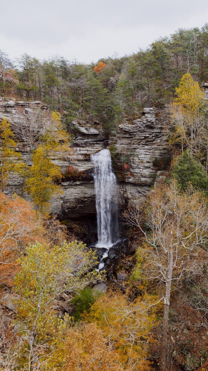
The trail to Laurel Falls winds through dense canopy, the sound of rushing water building steadily until the falls themselves come into view — a cool, misty reward after a moderate climb. Early arrival means sharing the trail with only a handful of other early risers, giving the whole hike a peaceful, unhurried quality well suited to a solo traveler's final morning in the park.
With the physical demands of the trip behind you, the afternoon opens up for a slower pace — repacking, a final drive through whichever gateway town you're departing from, and time to let the last three days settle before heading home.
Keep the final evening simple: a relaxed meal in town, a last look at the ridgeline from wherever you're staying, and an early night if travel awaits tomorrow. The quiet satisfaction of having navigated the park largely on your own terms is its own kind of souvenir.
Want to tweak this trip?
Our AI planner can customize this itinerary to your exact dates, interests, and travel style.
Customize This ItineraryRestaurant details (hours, menus, availability) change frequently. Check current hours before visiting, especially in seasonal destinations.
Dietary compatibility tags are general guidance. If you have severe allergies, confirm directly with the restaurant.
Travel tips are general guidance, not professional safety advice. Check government advisories for latest information.
All prices are approximate and may vary seasonally.